Professional Meeting between the State Geodetic Administration of the Republic of Croatia and the Federal Administration for Geodetic and Real Property Affairs

Professional Meeting between the State Geodetic Administration of the Republic of Croatia and the Federal Administration for Geodetic and Real Property Affairs

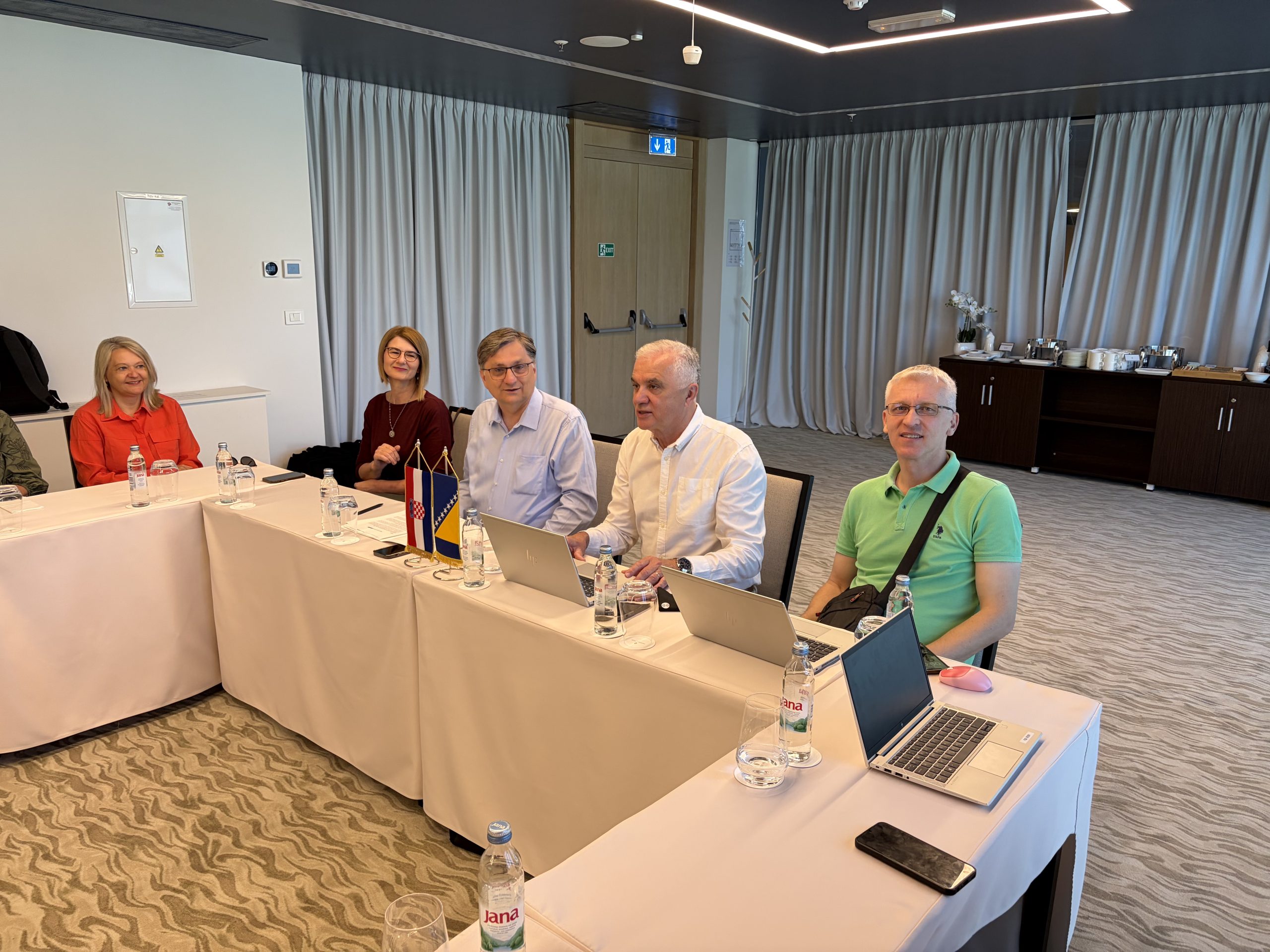
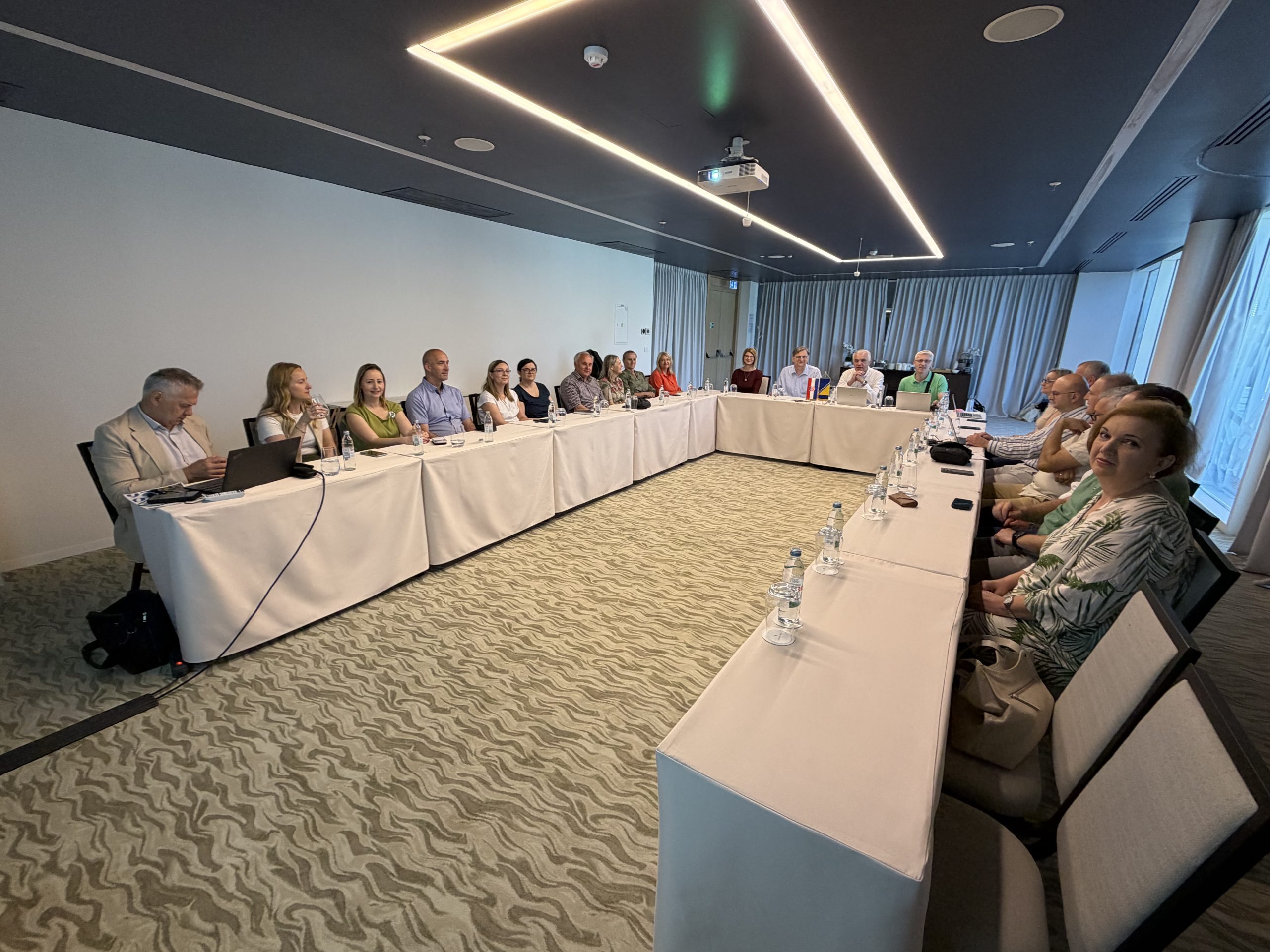
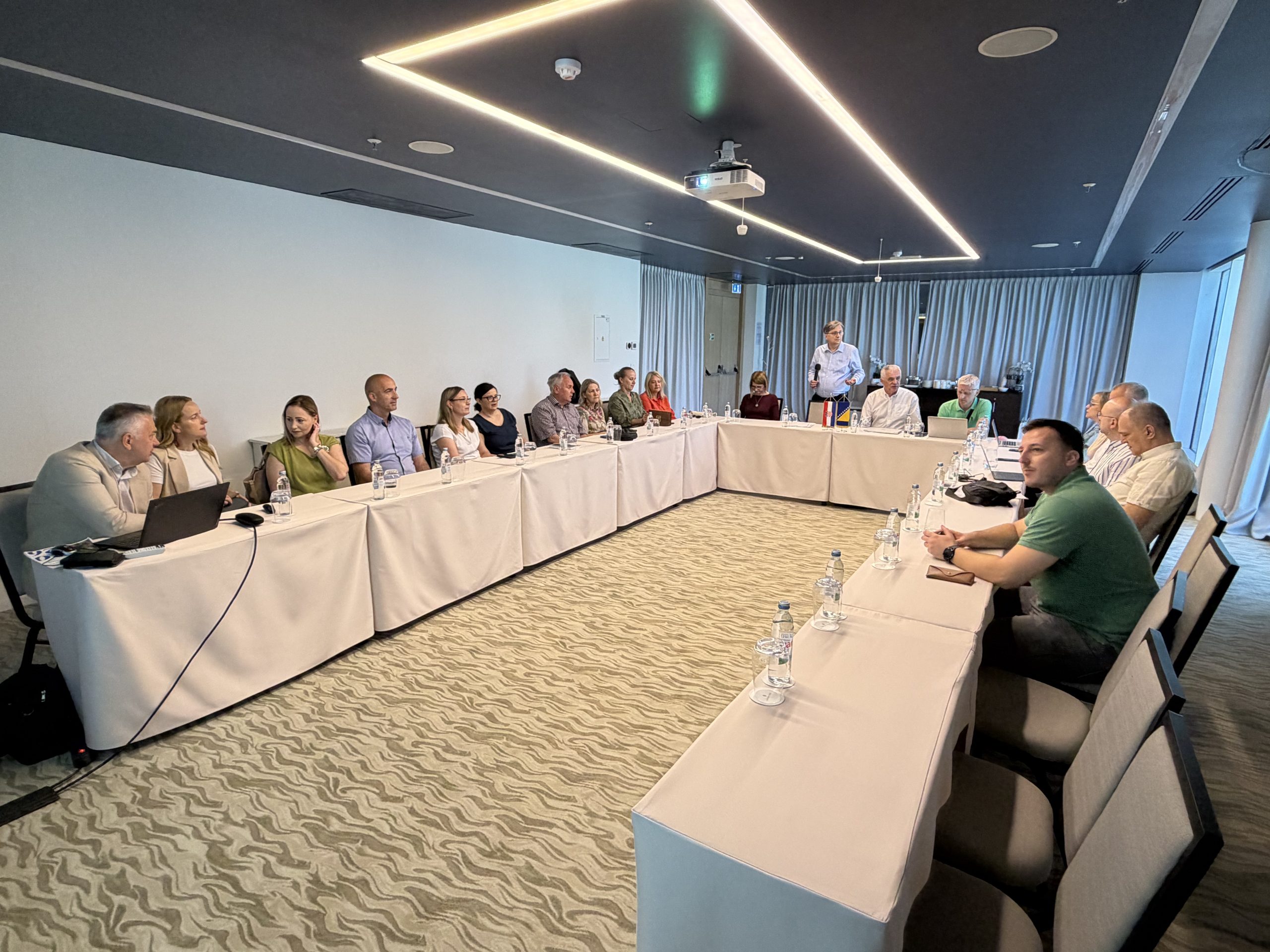
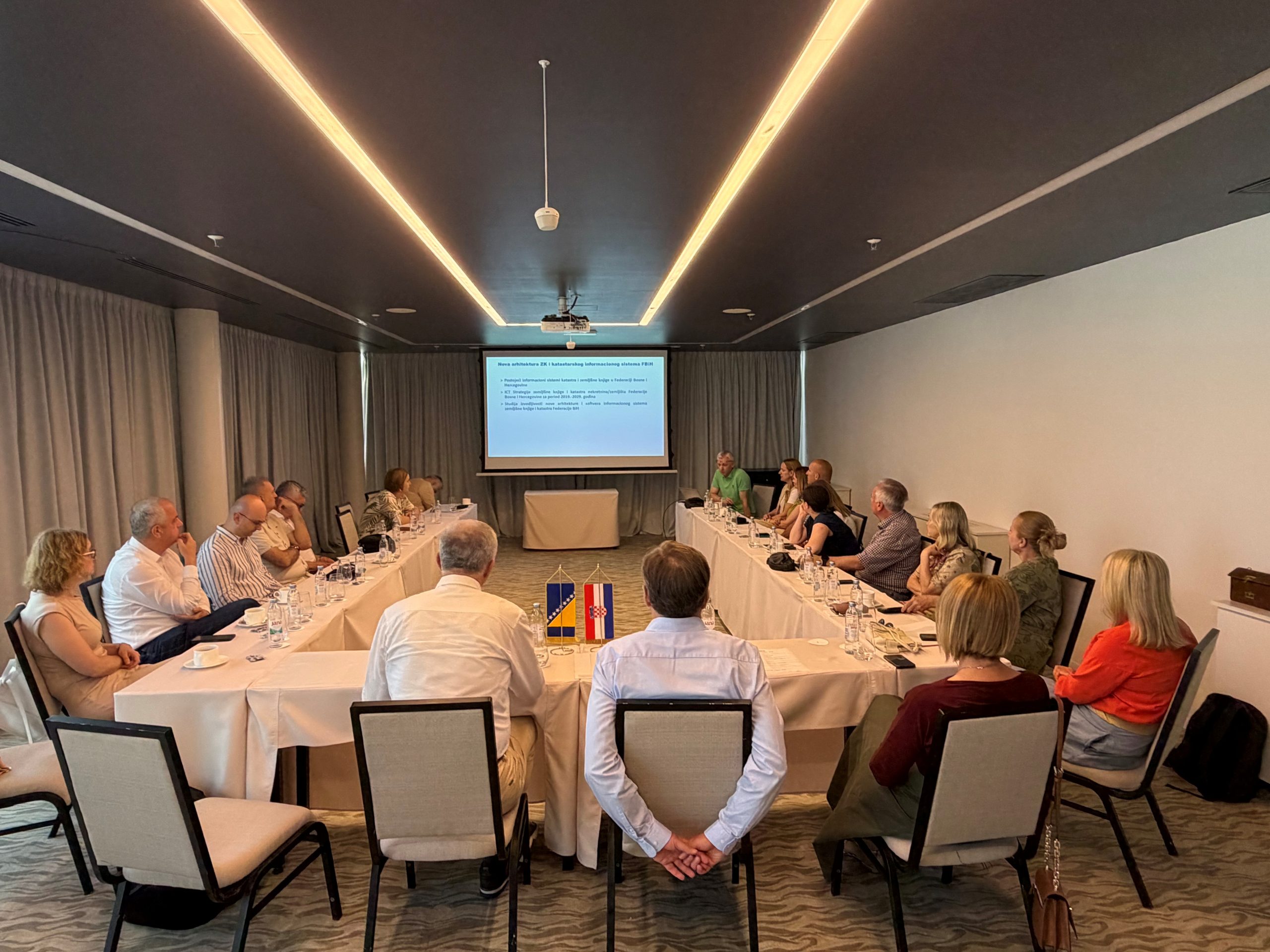
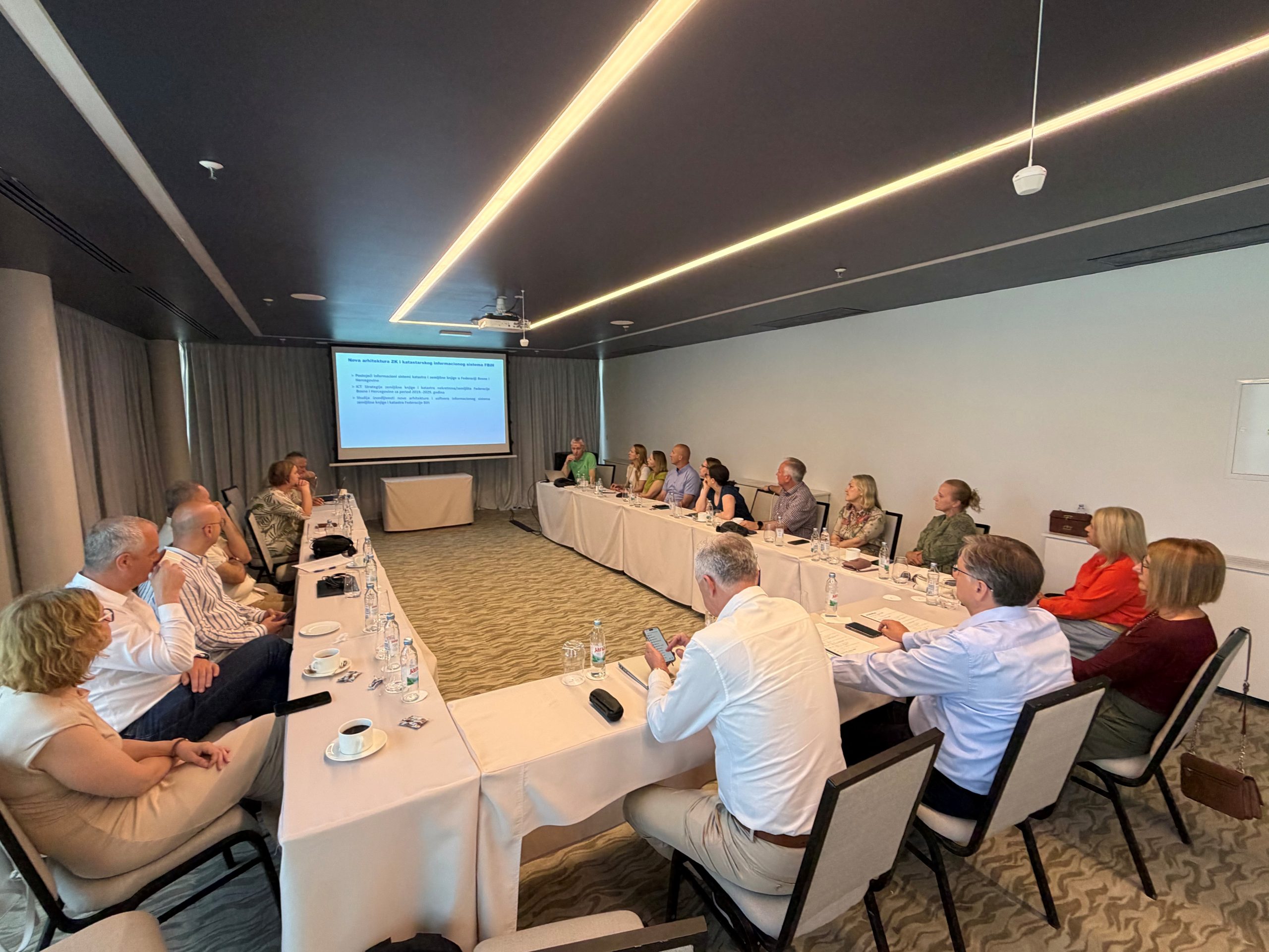
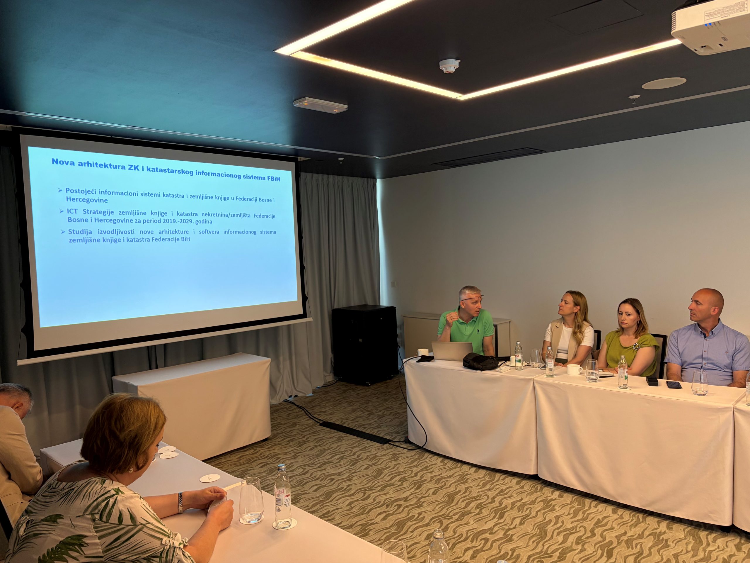
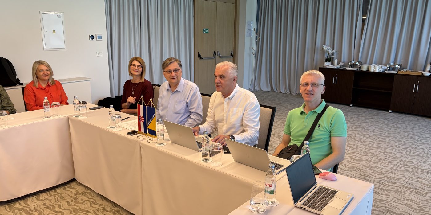
A professional meeting between the State Geodetic Administration of the Republic of Croatia (DGU) and the Federal Administration for Geodetic and Real Property Affairs (FGU) was held in Šibenik from May 28 to 30, 2026. The meeting aimed to continue successful institutional cooperation, exchange experiences, and discuss current activities within the competence of both institutions.

The delegation of the Federal Administration for Geodetic and Real Property Affairs consisted of ten participants, led by Director Željko Obradović, with the participation of assistant directors and other representatives of the Administration. On behalf of the State Geodetic Administration of the Republic of Croatia, the meeting was attended by a delegation led by Director General Antonio Šustić, along with associates and DGU representatives.

The meeting program covered several professional topics and working activities. As part of the introductory section, welcome speeches and presentations on the most important activities of both institutions were delivered by the Director General of the State Geodetic Administration of the Republic of Croatia, Antonio Šustić, and the Director of the Federal Administration for Geodetic and Real Property Affairs, Željko Obradović. The program also included expert presentations on information system security in the management of cadastre and spatial data, the multi-year program of cadastral surveys 2021–2030, as well as the implementation of upgrades to the land registry and cadastre information system in the Federation of BiH.

The particular importance of this meeting is reflected in the continued exchange of experiences in the fields of cadastral and spatial data management in general, the development of information systems, the improvement of official records, and the strengthening of institutional capacities. Through professional presentations and discussions, challenges and development directions of mutual interest to both institutions were considered, especially in the context of business process digitalization, modernization of the geodetic-cadastral sector, and improving data availability for users.

In the final part of the meeting, conclusions and plans for further cooperation were discussed. Both parties jointly assessed that this form of direct institutional communication represents an important mechanism for strengthening professional cooperation, exchanging practical experiences, and aligning future activities in areas of common interest.

The meeting once again confirmed the importance of continuous cooperation between the State Geodetic Administration of the Republic of Croatia and the Federal Administration for Geodetic and Real Property Affairs. The exchange of experiences between institutions with significant practice in developing modern geodetic, cadastral, and spatial information systems represents a valuable contribution to the further improvement of the activities of both administrations, particularly in the segments of digital transformation, spatial data infrastructure development, modernization of official records, and providing higher quality services to users.

THE 51st SESSION OF THE IPP FBiH COUNCIL WAS HELD

THE 51st SESSION OF THE IPP FBiH COUNCIL WAS HELD

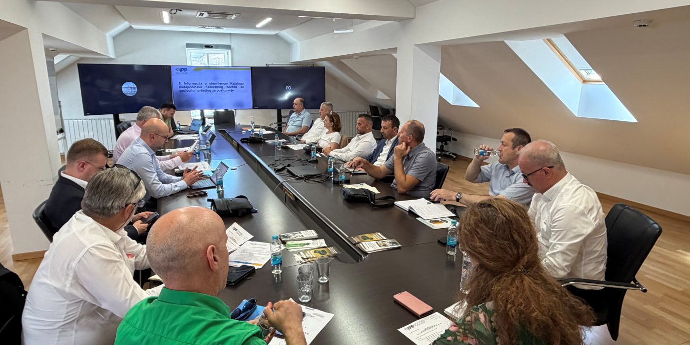
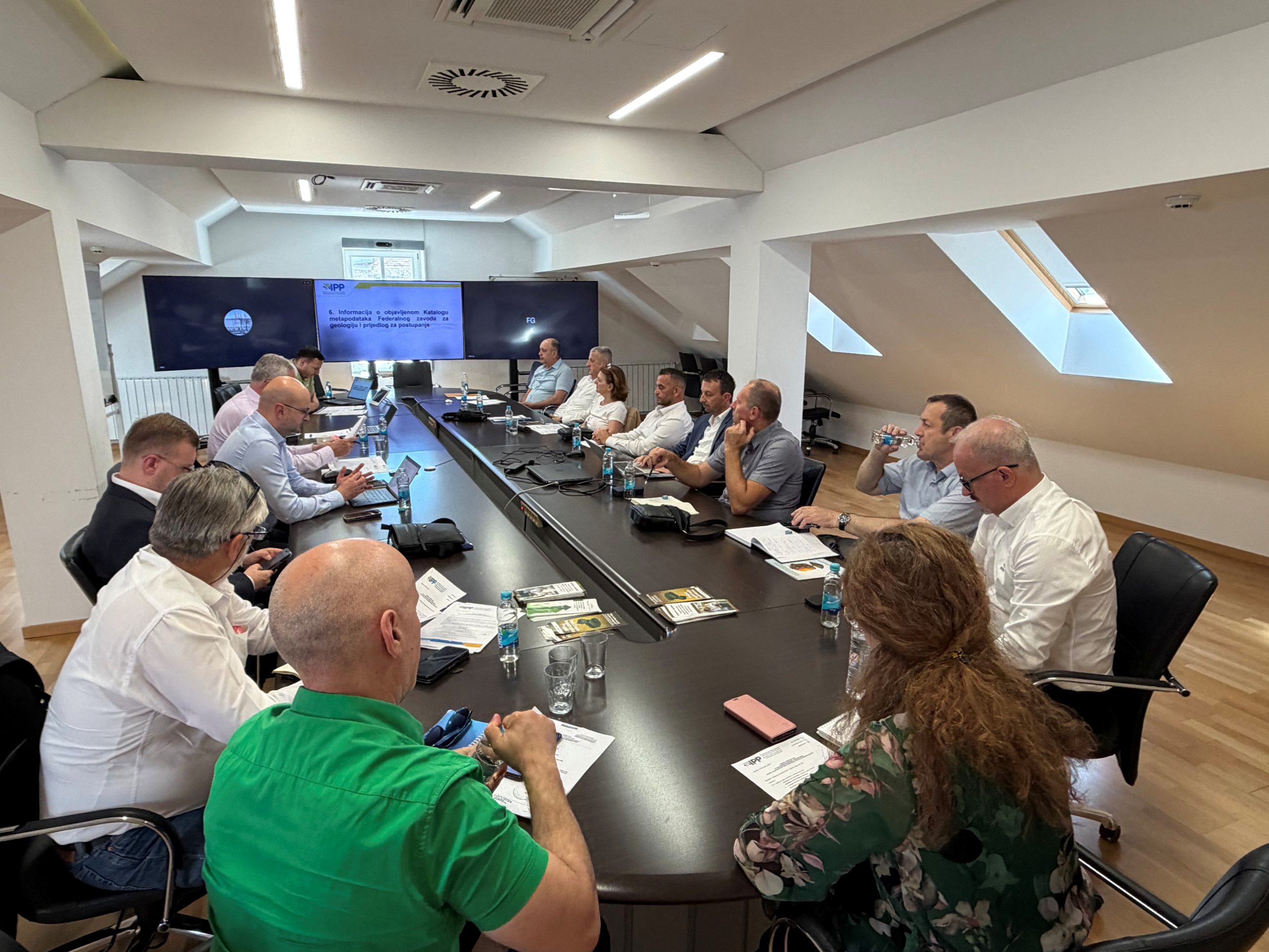
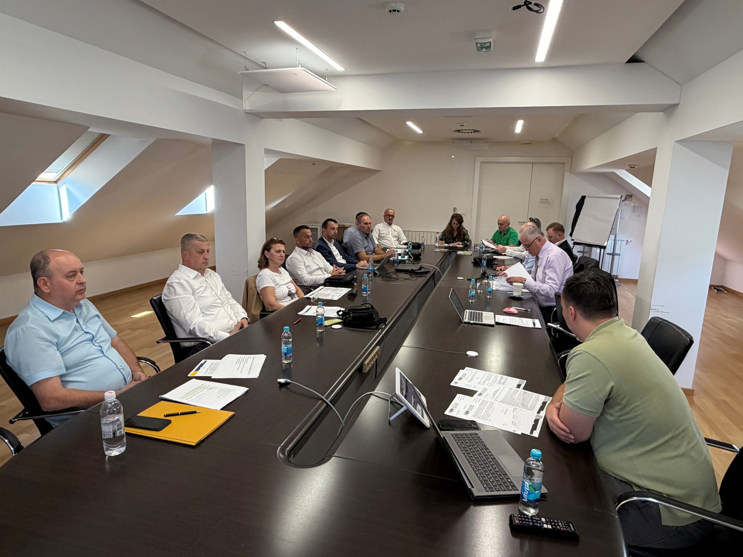
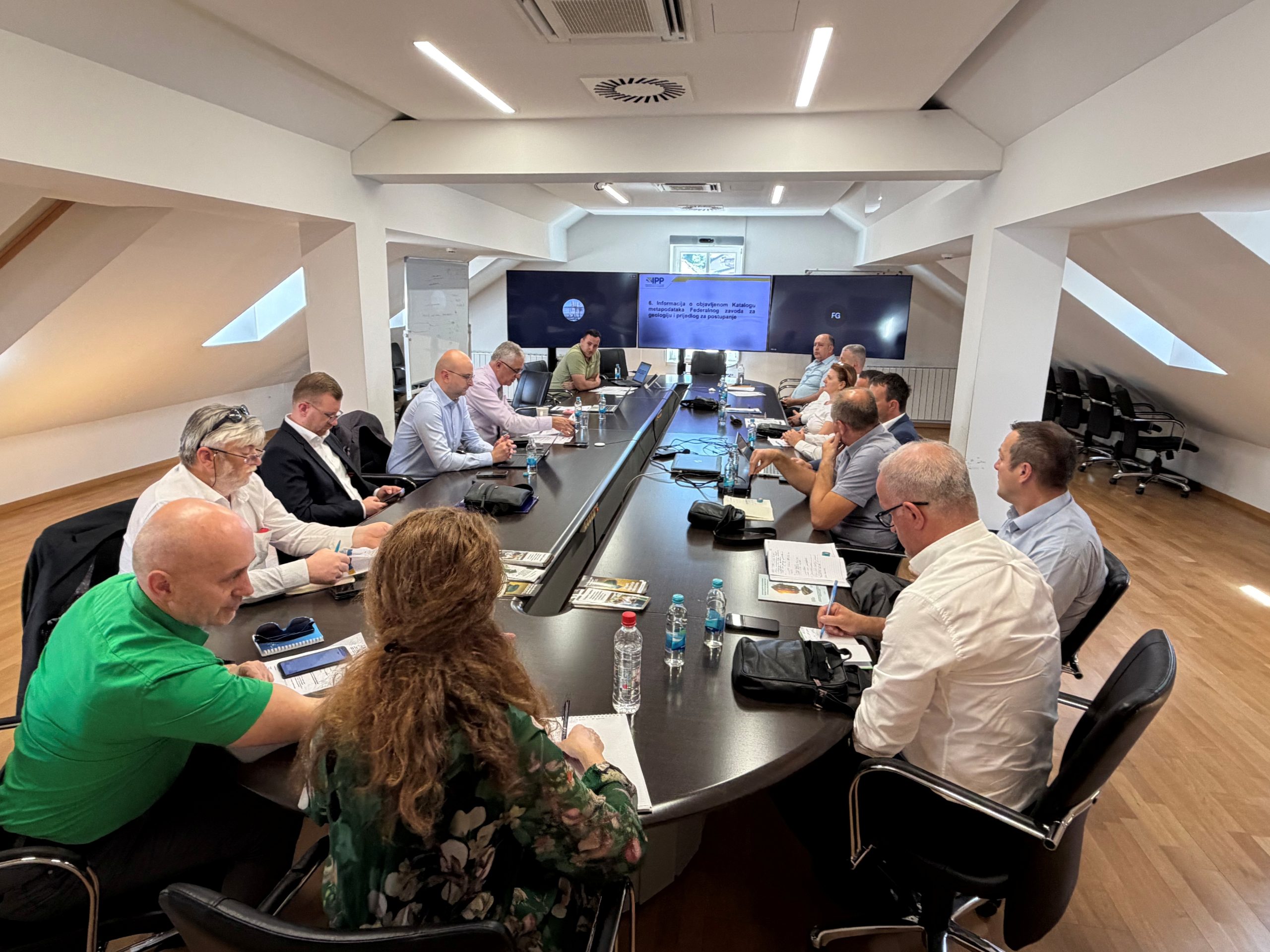
On May 26, 2026, the 51st session of the IPP FBiH Council was held at the premises of the Federal Administration for Geodetic and Real Property Affairs. The session addressed key issues regarding the establishment, maintenance, and further development of the Spatial Data Infrastructure of the Federation of Bosnia and Herzegovina (IPP FBiH).

The Council discussed the following agenda items:

  1. Adoption of the agenda for the 51st session of the IPP FBiH Council;
  2. Adoption of the Minutes from the previous 50th session of the IPP FBiH Council;
  3. Information on the adoption of the Work Report on the establishment, maintenance, and development of IPP FBiH for the year 2025;
  4. Information on the implementation of the Work Plan for the establishment, maintenance, and development of IPP FBiH and the Training Plan for 2026;
  5. Information on support activities for stakeholders regarding data entry into IPP FBiH applications;
  6. Information on the published Metadata Catalogue of the Federal Institute for Geology and a proposal for further action;
  7. Information on the realized study visit of the IPP FBiH Council to the Netherlands Kadaster;
  8. Presentation of the Guidelines for the application of general licensing conditions;
  9. Information on the participation of the FGA/IPP FBiH Council delegation at the IPP RH conference and the Annual Meetings of Geodetic Administrations in Šibenik (27–29 May 2026);
  10. Any other business.

The discussion on the agenda items confirmed the importance of the continuous development of SDI FBiH, with a particular emphasis placed on technical support for stakeholders during data entry into application solutions.

Particular attention during the session was dedicated to the presentation of the draft material entitled “Guidelines for the Application of General Licensing Conditions for Spatial Data in SDI FBiH”. This document represents an operational elaboration of the Decision on Determining General Conditions for Spatial Data Licensing, which was adopted by the SDI Council at its previous 50th session. The Guidelines were developed based on the 2024 Spatial Data Licensing Framework Study, fully considering the INSPIRE Directive, the Open Data Directive, and the IPP FBiH Strategy 2023–2027. Considering that the implementation of the Guidelines directly affects the business processes of all IPP stakeholders, as well as the conditions of data use by the public, private, academic, and civil sectors, it was proposed to the Council to forward this material to a public hearing and consultation period for a duration of 60 days. This will enable the collection of expert opinions and proposals from key stakeholders before the final adoption of the document.

During the session, the Council members were informed about the official adoption of the 2025 Work Report, successfully concluding the activities of the previous period. Concurrently, the implementation of the current Work Plan and Training Plan for 2026 was reviewed, aiming to further strengthen capacities and maintain the planned dynamics of system development. In the context of improving technical resources, information regarding the published Metadata Catalogue of the Federal Institute for Geology was also considered, along with corresponding proposals for further action.

Conference “Spatial Data Infrastructure Days of the Federation of Bosnia and Herzegovina” – First Announcement

Conference “Spatial Data Infrastructure Days of the Federation of Bosnia and Herzegovina” – First Announcement

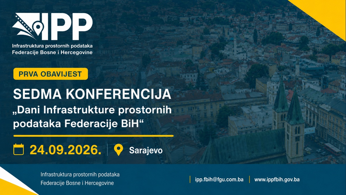
The Federal Administration for Geodetic and Real-Property Affairs, as the Coordination Body of the Spatial Data Infrastructure of the Federation of Bosnia and Herzegovina, is organizing the seventh conference “Spatial Data Infrastructure Days of the Federation of Bosnia and Herzegovina”, which will be held on 24 September 2026 in Sarajevo.

As in the previous year, the conference is being organized within the framework of the GeoConnect project – Connecting geoinformatics expertise for responsible and transparent governance. More information about the GeoConnect project is available on the official websites of the SDI FBiH, the Federal Administration for Geodetic and Real-Property Affairs, and other partner institutions involved in its implementation.

As part of the conference preparations, thematic pre-conference workshops for selected target groups of SDI FBiH stakeholders are planned to be held on 23 September 2026, also in Sarajevo.

Detailed information about the conference, including the venue, agenda, invited lectures and speakers, will be published in the second announcement at the end of July 2026.

For any additional information, please contact us via e-mail at: ipp.fbih@fgu.com.ba.

Successfully Completed Development of ETL Procedures for Harmonization of Spatial Data of SDI FBiH with the INSPIRE Directive

Successfully Completed Development of ETL Procedures for Harmonization of Spatial Data of SDI FBiH with the INSPIRE Directive

The Federal Administration for Geodetic and Real Property Affairs successfully completed the project for the development of ETL procedures for the harmonization of spatial data of the Federation of Bosnia and Herzegovina in accordance with the INSPIRE Directive.

The ETL procedures were developed by Gauss d.o.o.. The project covered INSPIRE themes from the Annexes: geographical names, geology, and land use. The following SDI stakeholders participated in the data harmonization process:

  • Federal Institute for Geology
  • Institute for Urban Planning and Spatial Development of Zenica-Doboj Canton
  • Federal Administration for Geodetic and Real Property Affairs

As part of the project, comprehensive technical and implementation documentation was prepared, including data models, transformation procedures, and tools for spatial data harmonization in accordance with INSPIRE standards. Spatial datasets were harmonized and exported into standardized formats, enabling interoperability and further use at both national and European levels.

The result of the project is a set of operational and repeatable ETL procedures that enable continuous data harmonization while improving the quality, standardization, and exchange of spatial data within the SDI FBiH.

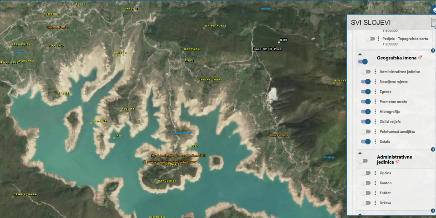
The harmonized datasets are already available to users through the SDI FBiH Web Viewer, providing simple access, transparency, and more efficient use of spatial data.

Representative of FGU Participated in the Geospatial World Forum 2026 in Amsterdam

Representative of FGU Participated in the Geospatial World Forum 2026 in Amsterdam

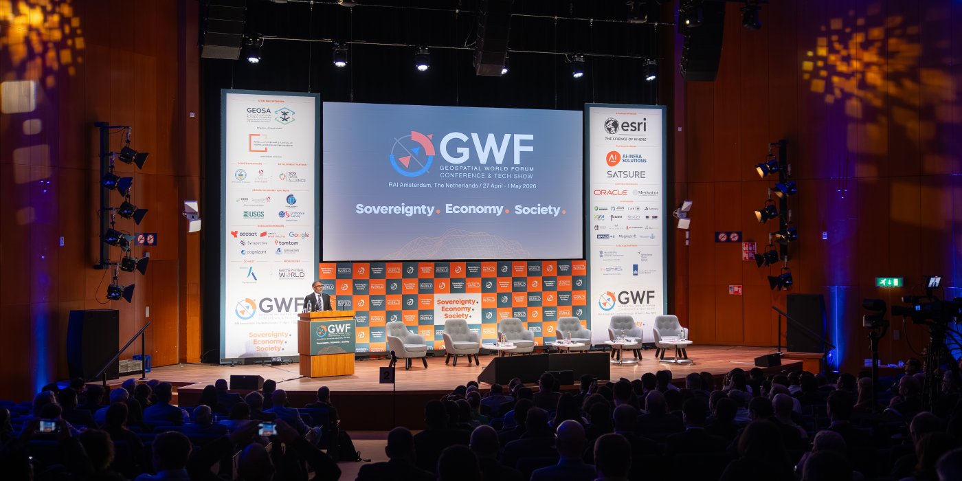
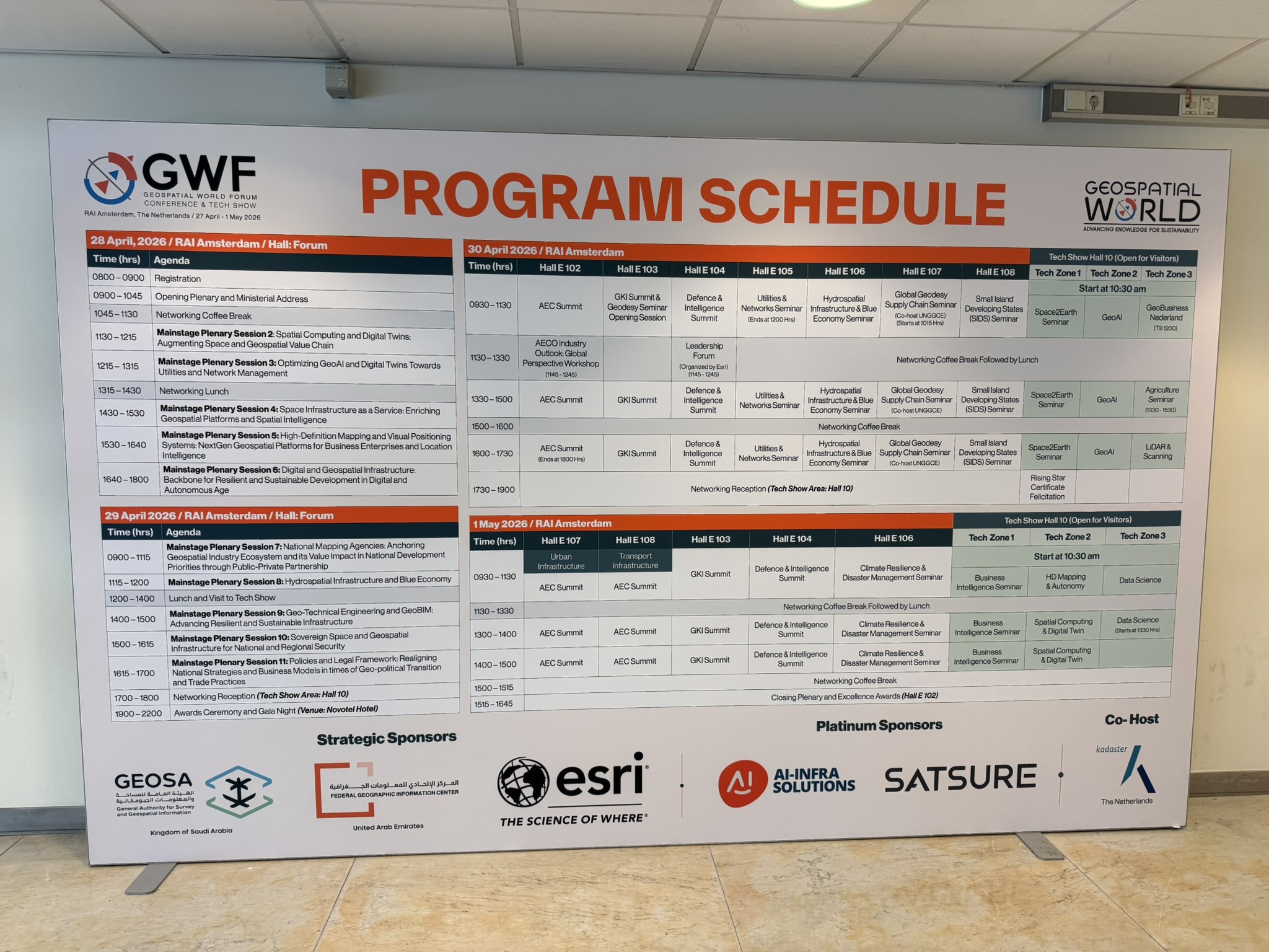
A representative of the Federal Administration for Geodetic and Property Affairs, Mr. Jasmin Ćatić, participated in the Geospatial World Forum 2026 (GWF 2026), held in Amsterdam, Kingdom of the Netherlands, from April 27 to May 1, 2026. The participation was supported by the GeoConnect project and the EuroGeographics organization.

The Geospatial World Forum is one of the most significant international events in the field of geospatial technologies, digital transformation, and the development of modern location-based solutions. The Forum brings together representatives of public institutions, national geodetic and cartographic organizations, international organizations, academia, the private sector, and leading technology companies, with the aim of exchanging knowledge, experiences, and strategic perspectives on the development of the geospatial industry.

The theme of this year’s Forum was “Sovereignty, Economy & Society”, with a focus on the role of geospatial data and infrastructure in strengthening digital sovereignty, economic development, and the provision of higher-quality public services. Special attention was given to concepts such as data and digital autonomy, geospatial knowledge infrastructure, artificial intelligence in spatial analysis, sustainable land management, climate resilience, digital twins, LiDAR technologies, and advanced location-based services.

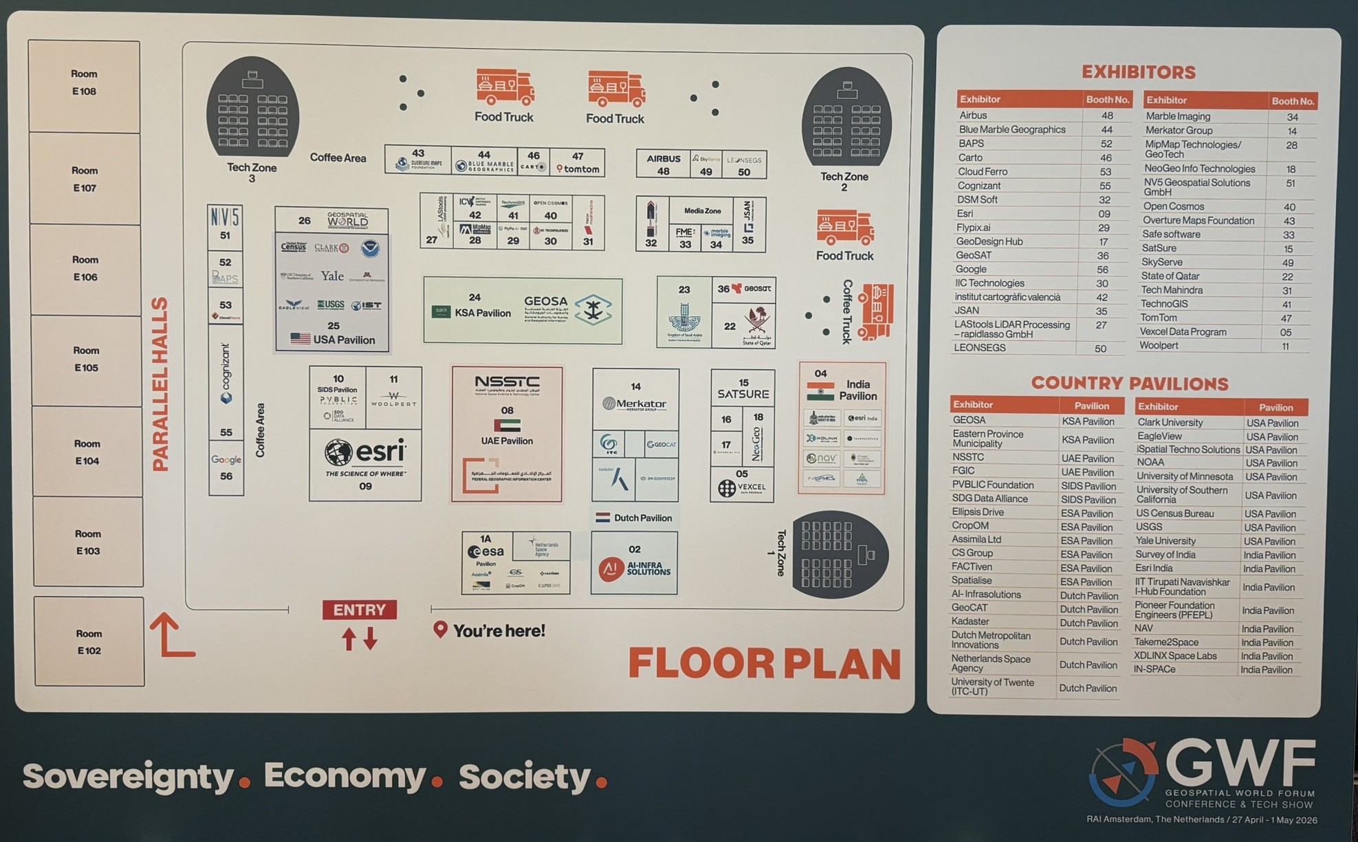
As part of GWF 2026, a Tech Show / Exhibitors Show was also held, where leading companies and organizations presented modern technological solutions, products, and innovations in the fields of geographic information systems, satellite and aerial imaging, big geospatial data management, cloud platforms, 3D modeling, digital twins, and GeoAI solutions. This segment of the Forum was particularly important for understanding current development trends and practical possibilities for applying new technologies in an institutional environment.

The main objective of FGU’s participation in this event was to monitor modern trends in geodesy and geoinformatics, strengthen international networking, exchange experiences with relevant institutions and companies, and identify solutions and practices that can contribute to the further development of the Spatial Data Infrastructure (SDI) of the Federation of Bosnia and Herzegovina, the SDI Geoportal of FBiH, and other development activities of the Administration.

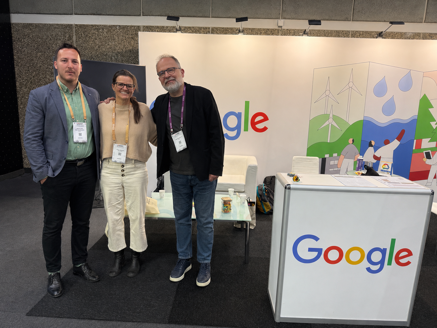
During the stay in Amsterdam, a meeting was also held with representatives of Google, where possibilities for future cooperation in the field of geospatial data, services, and digital location-based solutions were discussed. Further communication and continued cooperation were agreed upon, representing an important step towards strengthening ties with international technology partners.

Participation in the Geospatial World Forum 2026 provided additional insight into global trends and strategic directions in the development of the geospatial sector and contributes to the continuous strengthening of FGU’s professional capacities and the improvement of activities in the field of spatial data in the Federation of Bosnia and Herzegovina.

Specific Procurement Notice- Digitization of SDI stakeholders’ Data

Specific Procurement Notice- Digitization of SDI stakeholders' Data

Specific Procurement Notice (SPN)

Request for Bids

Framework Agreement(s) for Non-Consulting

(Primary Procurement, Two-Envelope Bidding Process)

Procuring Agency:Federal Administration for Geodetic and Real Property Affairs

Country:Bosnia and Herzegovina

Name of Project:Geospatial Infrastructure and Valuation Enhancement Project (GIVE)

Framework Agreement TitleDigitization of SDI stakeholders’ Data

RFB Reference No.:A.1.4.1

Loan No.:96760-BA

  1. Bosnia and Herzegovina has received financing from the World Bank toward the cost of the Geospatial Infrastructure and Valuation Enhancement Project (GIVE) and intends to apply part of the proceeds toward payments under Call-off Contracts that may be awarded under the Framework Agreement (FA) for Digitization of SDI stakeholders’ Data concluded through this RFB Primary Procurement process.
  2. The Procuring Agency is undertaking this Primary Procurement with the objective of concluding a Framework Agreement (FA). The Federal Administration for Geodetic and Real Property Affairs acts as the sole Employer under this Framework Agreement. Through this process, the Procuring Agency now invites sealed bids from eligible and qualified Bidders for the provision of non-consulting services for the digitization of spatial data sources held by SDI stakeholders, including scanning, conversion, georeferencing, vectorization, metadata preparation, and integration into GIS/database environments, with the aim of making legacy spatial data accessible, interoperable, and usable within modern digital geospatial infrastructures.
  3. The Framework Agreement to be concluded will be Single-User. The Single-User entitled to purchase under the Framework Agreement is Federal Administration for Geodetic and Real Property Affairs.
  4. The Framework Agreement to be concluded will be Single-Service Provider. This activity represents a core component of the ongoing SDI development process within the GIVE Project, aimed at digitizing and modernizing spatial data holdings of SDI stakeholder institutions in the Federation of Bosnia and Herzegovina, including analogue plans, registers, and other legacy spatial data sources.

The procurement under this RFB is designed as a Framework Agreement covering estimated service needs over the indicated implementation period. The activities and tasks expected to be performed under this Framework Agreement may include, but are not limited to, the following:

  • Handover, inventorying, and preparation of analogue or digital spatial data source materials held by SDI stakeholder institutions;
  • Scanning and digitization of analogue spatial data sources (plans, maps, registers, and related documentation) to produce high-quality digital raster outputs;
  • Georeferencing of scanned raster data to the national coordinate reference system, ensuring geometric accuracy in accordance with applicable technical specifications;
  • Vectorization of georeferenced raster data and structuring of vector datasets in accordance with agreed data models and thematic requirements;
  • Preparation of metadata records in compliance with ISO 19115/ISO 19139 standards and applicable SDI/INSPIRE metadata requirements;
  • Integration of digitized and processed spatial datasets into GIS/database environments designated by the Employer;
  • Quality control of all deliverables including checking of geometric accuracy, attribute completeness, topological integrity, and compliance with technical specifications;
  • Preparation of delivery reports and supporting technical documentation.
  1. The selection of a FA Service Provider to be awarded a Call-off Contract will be done through a Secondary Procurement process as defined in the Framework Agreement. However, the conclusion of a Framework Agreement shall not impose any obligation on the Procuring Agency, including participating Employers, to purchase Non-Consulting services under a Call-off Contract. The conclusion of a Framework Agreement does not guarantee that a FA Service Provider will be awarded a Call-off Contract.
  2. Bidding will be conducted through National Competitive Procurement using a Request for Bids (RFB) as specified in the World Bank’s Procurement Regulations for IPF Borrowers, September 2023, revised February 2025 (Procurement Regulations) and is open to all eligible Bidders as defined in the Procurement Regulations.
  3. The Framework Agreement shall be concluded for a Term of 3 years from the commencement date stated in the Framework Agreement. The initial term may be extended by a maximum of two additional years.
  4. The Primary Procurement shall establish a Closed Framework Agreement.
  5. Bids will be evaluated in accordance with the evaluation process set out in the bidding documents. The following weightings shall apply for Rated Criteria (including technical and non-price factors): 60%, and for Bid cost: 40%.
  6. Interested eligible Bidders may obtain further information from Federal Administration for Geodetic and Real Property Affairs, GIVE Project, Att. Denis Tabučić, Head of PIU and e-mail: give_procurement@fgu.com.ba and inspect the Bidding document during office hours 08:00 – 16:00 hours at the address given below.
  7. The Bidding document in English may be obtained by interested Bidders upon the submission of a written application to the email address below. The document will be sent by email after processed application.
  8. Bids must be delivered to the address below on or before May 18th, 2026, 11:00 a.m. CET. Electronic Bidding will not be permitted. Late Bids will be rejected. The outer Bid envelopes marked ‘Original Bid’, and the inner envelopes marked ‘Technical Part’ will be publicly opened in the presence of the Bidders’ designated representatives and anyone who chooses to attend, at the address below on May 18th, 2026, 11:05 a.m. CET. All envelopes marked ‘Second Envelope: Financial Part’ shall remain unopened and will be held in safe custody of the Procuring Agency until the second public opening.
  9. Attention is drawn to the Procurement Regulations requiring the Borrower to disclose information on the successful bidder’s beneficial ownership, as part of the publication of the conclusion of framework agreement notice, using the Beneficial Ownership Disclosure Form included in the bidding document.
  10. The address(es) referred to above is (are):

Federal Administration for Geodetic and Real Property Affairs

Geospatial Infrastructure and Valuation Enhancement Project (GIVE)

Attn. Denis Tabučić, Head of PIU

Hamdije Kreševljakovića 96, 71000 Sarajevo, Bosnia and Herzegovina

+387 33 586 063

give_procurement@fgu.com.ba

http://www.fgu.com.ba

Specific Procurement Notice- Support to SDI stakeholders to use common GIS and database tools

Specific Procurement Notice- Support to SDI stakeholders to use common GIS and database tools

Specific Procurement Notice (SPN)

Request for Bids

Framework Agreement(s) for Non-Consulting

(Primary Procurement, Two-Envelope Bidding Process)

Procuring Agency:Federal Administration for Geodetic and Real Property Affairs

Country: Bosnia and Herzegovina

Name of Project:Geospatial Infrastructure and Valuation Enhancement Project (GIVE)

Framework Agreement Title:Support to SDI stakeholders to use common GIS and database tools

RFB Reference No.:A.2.2.1

Loan No.:96760-BA

  1. Bosnia and Herzegovina has received financing from the World Bank toward the cost of the Geospatial Infrastructure and Valuation Enhancement Project (GIVE) and intends to apply part of the proceeds toward payments under Call-off Contracts that may be awarded under the Framework Agreement (FA) for Support to SDI stakeholders to use common GIS and database tools concluded through this RFB Primary Procurement process.
  2. The Procuring Agency is undertaking this Primary Procurement with the objective of concluding a Framework Agreement (FA). The Federal Administration for Geodetic and Real Property Affairs acts as the sole Employer under this Framework Agreement. Through this process, the Procuring Agency now invites sealed bids from eligible and qualified Bidders for the provision of non-consulting services for support to SDI stakeholders in the installation, configuration, deployment, and operationalization of common GIS and database tools, with the aim of building technical capacity, ensuring interoperability, and enabling the effective use of geospatial data and services across SDI stakeholder institutions.
  3. The Framework Agreement to be concluded will be Single-User. The Single-User entitled to purchase under the Framework Agreement is Federal Administration for Geodetic and Real Property Affairs.
  4. The Framework Agreement to be concluded will be Single-Service Provider. This activity represents a key component of the ongoing SDI development process within the GIVE Project, aimed at standardizing and operationalizing the use of common open-source and interoperable GIS and database tools among SDI stakeholders in the Federation of Bosnia and Herzegovina.

The procurement under this RFB is designed as a Framework Agreement covering estimated service needs over the indicated implementation period. The activities and tasks expected to be performed under this Framework Agreement may include, but are not limited to, the following:

  • Baseline analysis of the existing IT and GIS environment at SDI stakeholder institutions, including preparation of a software version matrix and assessment of current capacities;
  • Installation, configuration, and deployment of desktop GIS tools (including QGIS or equivalent open-source GIS software) at SDI stakeholder institutions;
  • Installation, configuration, and integration of spatial database environments (including PostgreSQL/PostGIS or equivalent) for spatial data storage and management;
  • Configuration and deployment of geospatial web service platforms (including GeoServer or equivalent) enabling publication of WMS, WFS, WCS, and OGC API services;
  • Configuration and deployment of Web-GIS / portal solutions (including MapStore or equivalent) for visualization and access to spatial data services;
  • Preparation and delivery of training programs and user manuals for personnel of SDI stakeholder institutions;
  • Handover, sustainability planning, and technical support during the transition period.
  1. The selection of a FA Service Provider to be awarded a Call-off Contract will be done through a Secondary Procurement process as defined in the Framework Agreement. However, the conclusion of a Framework Agreement shall not impose any obligation on the Procuring Agency, including participating Employers, to purchase Non-Consulting services under a Call-off Contract. The conclusion of a Framework Agreement does not guarantee that a FA Service Provider will be awarded a Call-off Contract.
  2. Bidding will be conducted through National Competitive Procurement using a Request for Bids (RFB) as specified in the World Bank’s Procurement Regulations for IPF Borrowers, September 2023, revised February 2025 (Procurement Regulations) and is open to all eligible Bidders as defined in the Procurement Regulations.
  3. The Framework Agreement shall be concluded for a Term of 3 years from the commencement date stated in the Framework Agreement. The initial term may be extended by a maximum of two additional years.
  4. The Primary Procurement shall establish a Closed Framework Agreement.
  5. Bids will be evaluated in accordance with the evaluation process set out in the bidding documents. The following weightings shall apply for Rated Criteria (including technical and non-price factors): 60%, and for Bid cost: 40%.
  6. Interested eligible Bidders may obtain further information from Federal Administration for Geodetic and Real Property Affairs, GIVE Project, Att. Denis Tabučić, Head of PIU and e-mail: give_procurement@fgu.com.ba and inspect the Bidding document during office hours 08:00 – 16:00 hours at the address given below.
  7. The Bidding document in English may be obtained by interested Bidders upon the submission of a written application to the email address below. The document will be sent by email after processed application.
  8. Bids must be delivered to the address below on or before May 18th, 2026, 11:00 a.m. CET. Electronic Bidding will not be permitted. Late Bids will be rejected. The outer Bid envelopes marked ‘Original Bid’, and the inner envelopes marked ‘Technical Part’ will be publicly opened in the presence of the Bidders’ designated representatives and anyone who chooses to attend, at the address below on May 18th, 2026, 11:05 a.m. CET. All envelopes marked ‘Second Envelope: Financial Part’ shall remain unopened and will be held in safe custody of the Procuring Agency until the second public opening.
  9. Attention is drawn to the Procurement Regulations requiring the Borrower to disclose information on the successful bidder’s beneficial ownership, as part of the publication of the conclusion of framework agreement notice, using the Beneficial Ownership Disclosure Form included in the bidding document.
  10. The address(es) referred to above is (are):

Federal Administration for Geodetic and Real Property Affairs

Geospatial Infrastructure and Valuation Enhancement Project (GIVE)

Attn. Denis Tabučić, Head of PIU

Hamdije Kreševljakovića 96, 71000 Sarajevo, Bosnia and Herzegovina

+387 33 586 063

give_procurement@fgu.com.ba

http://www.fgu.com.ba

Study Visit of the SDI Council of FBiH to the Dutch Kadaster Implemented within the GeoConnect Project

Study Visit of the SDI Council of FBiH to the Dutch Kadaster Implemented within the GeoConnect Project

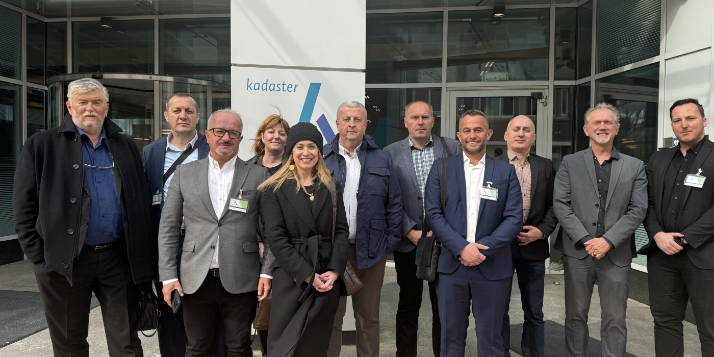
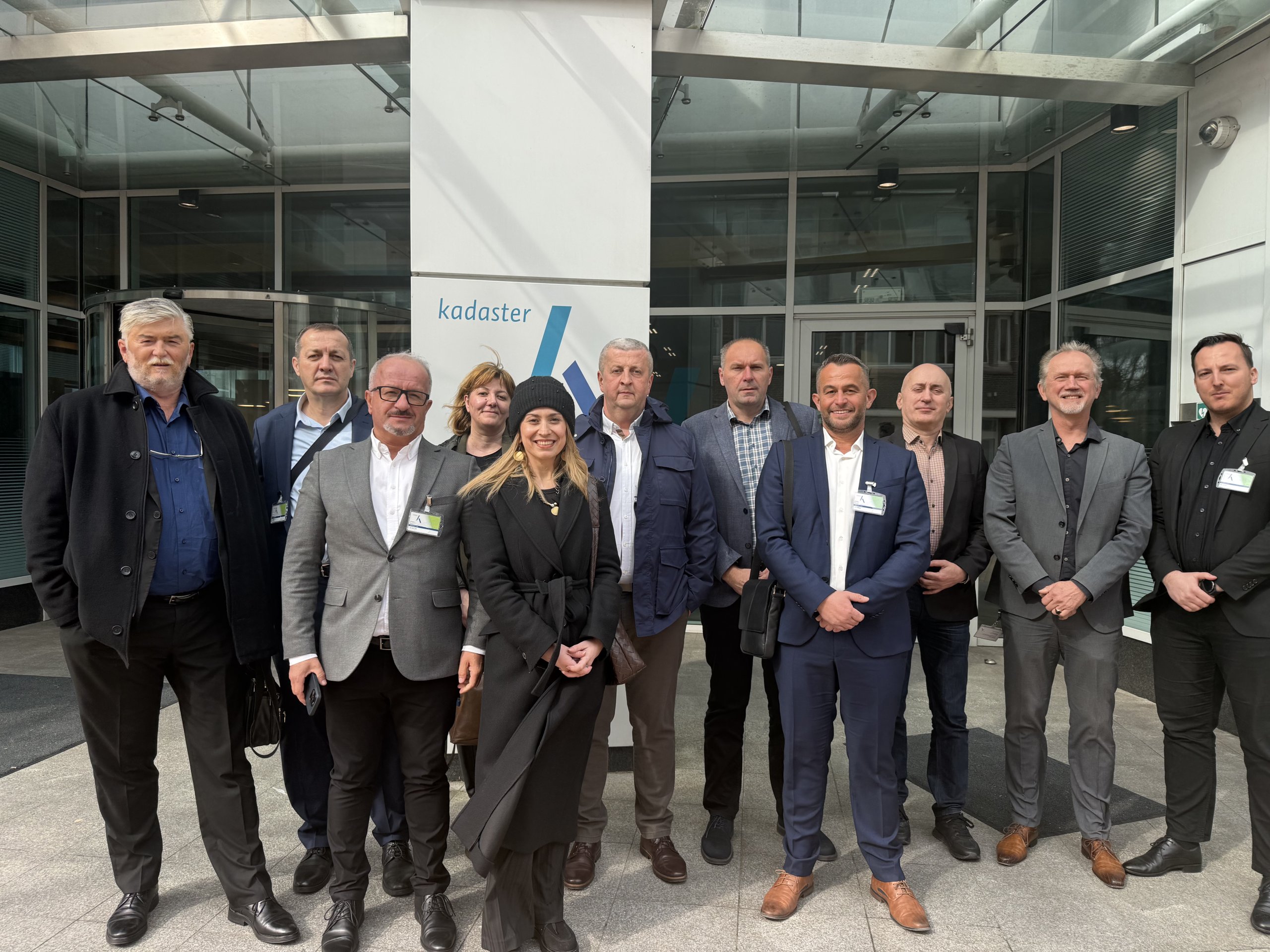
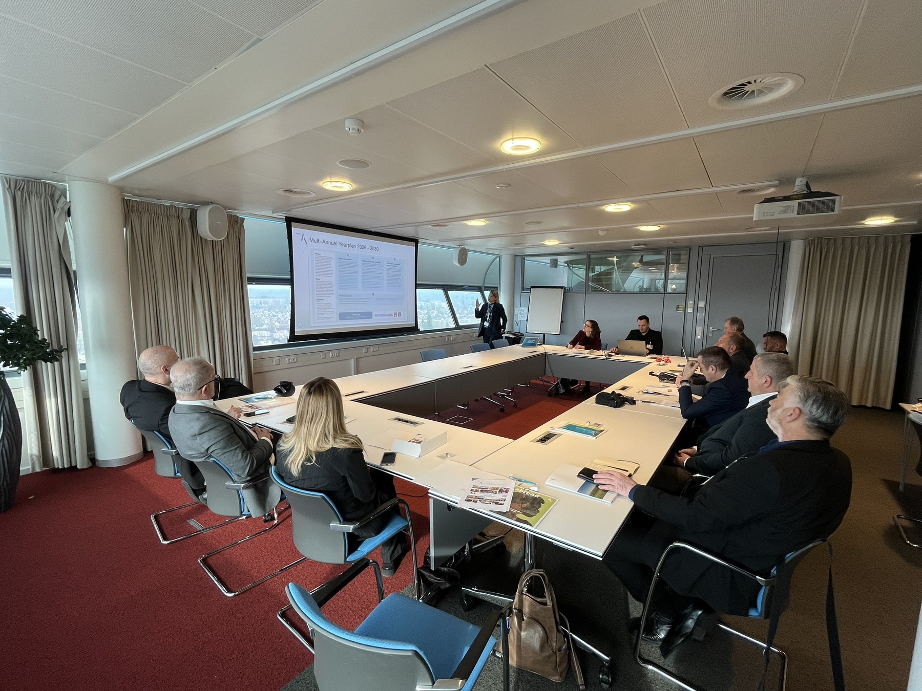
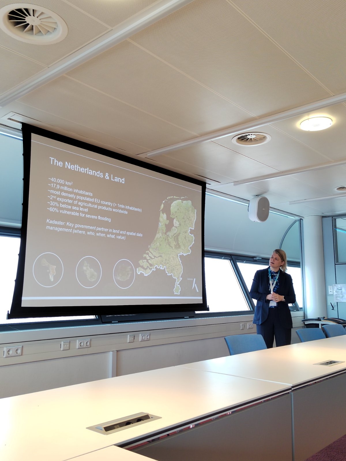
As part of the GeoConnect project, a study visit of the delegation of the Spatial Data Infrastructure Council of the Federation of Bosnia and Herzegovina (SDI Council FBiH) to the Kingdom of the Netherlands was carried out, with the aim of gaining insight into the experiences and practices of the Dutch Kadaster and other relevant institutions involved in the development and management of the national spatial data infrastructure. This visit represents a continuation of activities aimed at strengthening institutional capacities and improving coordination in the field of spatial data in the Federation of Bosnia and Herzegovina.

The delegation consisted of members of the SDI Council FBiH from seven federal institutions, representatives of the Federal Administration for Geodetic and Property-Legal Affairs, as well as an interpreter engaged to ensure the efficient implementation of the programme. The main activities of the study visit were held on 23, 24, and 25 March 2026, while the overall travel schedule was carried out in the period from 22 to 26 March 2026.

During their stay in Apeldoorn, the delegation visited the headquarters of the Dutch Kadaster, where expert presentations and working meetings were organised. The topics covered included the organisation and responsibilities of Kadaster, the system of key registers and the federated data system, the development of user interaction, the institution’s business model, as well as the importance of open data for public administration, the economy, and society as a whole. Special attention was given to the PDOK data platform, as well as to governance models, access, and innovation within the national spatial data infrastructure in the Netherlands.

Within the programme, the SDI Council FBiH delegation presented their own roles and responsibilities, the Strategic Development Plan up to 2028, as well as key challenges in the further development of the SDI in the Federation of Bosnia and Herzegovina. In this way, the study visit was not only an opportunity to learn about best practices, but also a platform for exchanging experiences and strengthening inter-institutional dialogue on the future development of spatial data, interoperability, and the digital transformation of the public sector.

On the second working day, the programme additionally covered topics such as innovation within Kadaster, the application of geo-artificial intelligence in business processes, and issues of cybersecurity, providing the delegation with a broader insight into contemporary challenges and development directions in the management of geospatial information.

The visit concluded with a meeting with representatives of Geonovum in Amersfoort, where governance models for spatial data infrastructure in the Netherlands were presented, including the roles and responsibilities of competent authorities, as well as key programmes supporting the development and standardisation of spatial data at the national level.

Through the implementation of this study visit, the SDI Council FBiH and the Federal Administration for Geodetic and Property-Legal Affairs have further strengthened international cooperation and acquired valuable knowledge that can contribute to improving the institutional and technical framework of the spatial data infrastructure in the Federation of Bosnia and Herzegovina. The experiences of the Dutch Kadaster and Geonovum represent a significant example of good practice in terms of register integration, data availability, openness, innovation, and inter-institutional coordination, which is of particular importance for future activities in the development of the SDI FBiH.

Workshop Held within the GeoConnect Project at the University of Mostar

Workshop Held within the GeoConnect Project at the University of Mostar

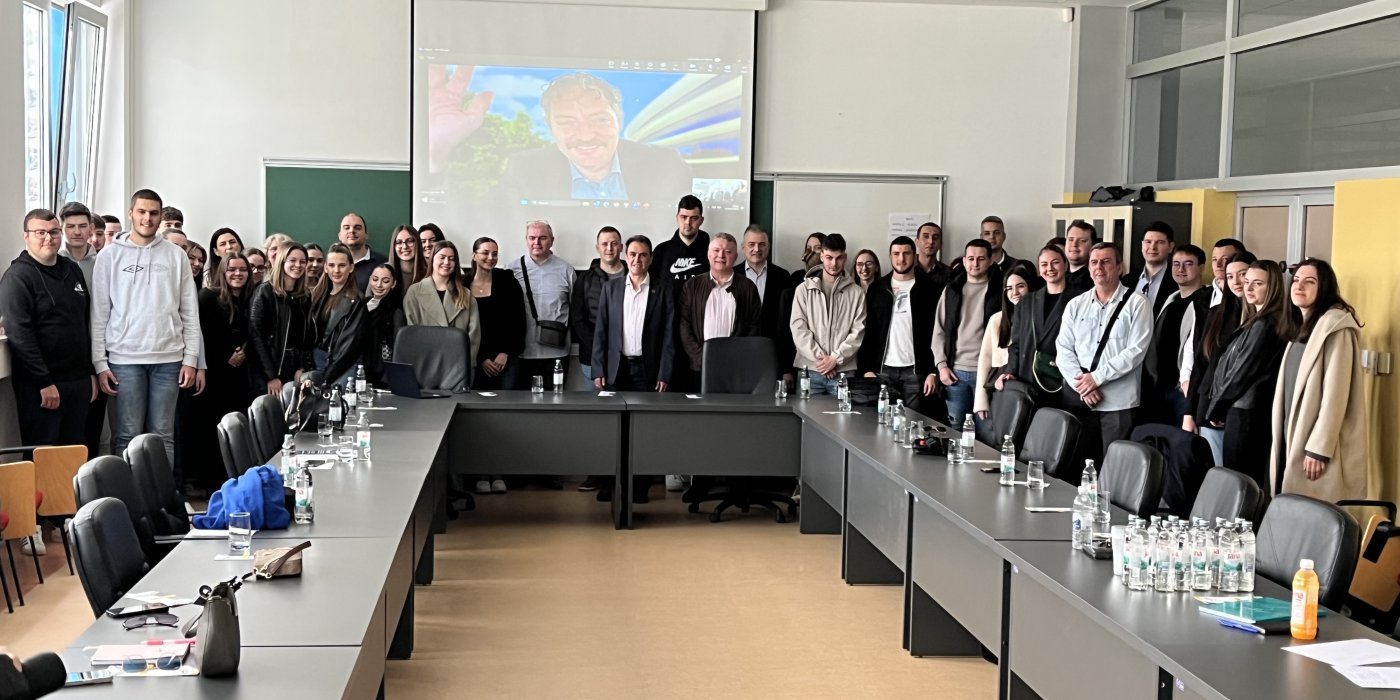
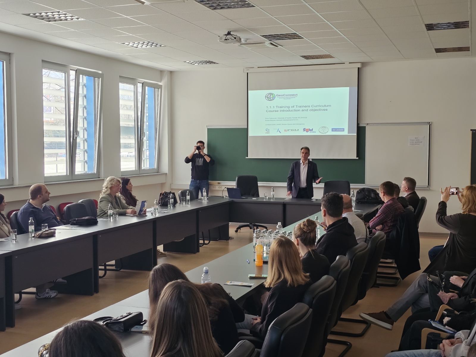
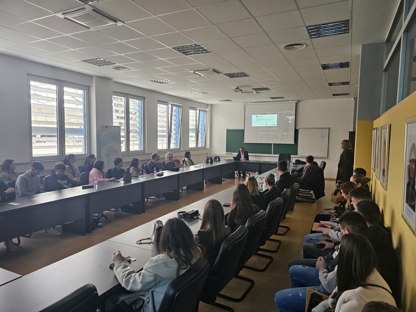
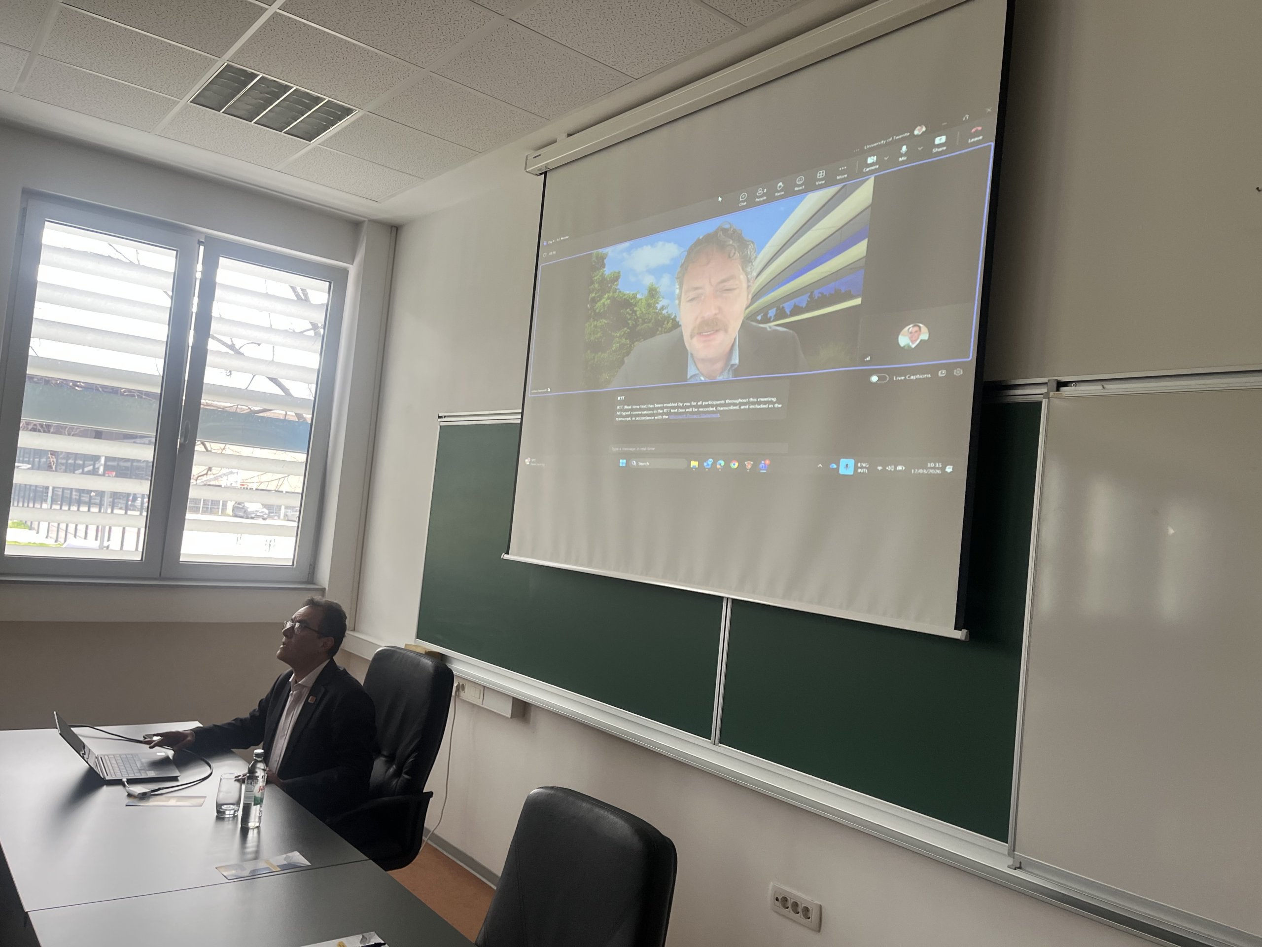
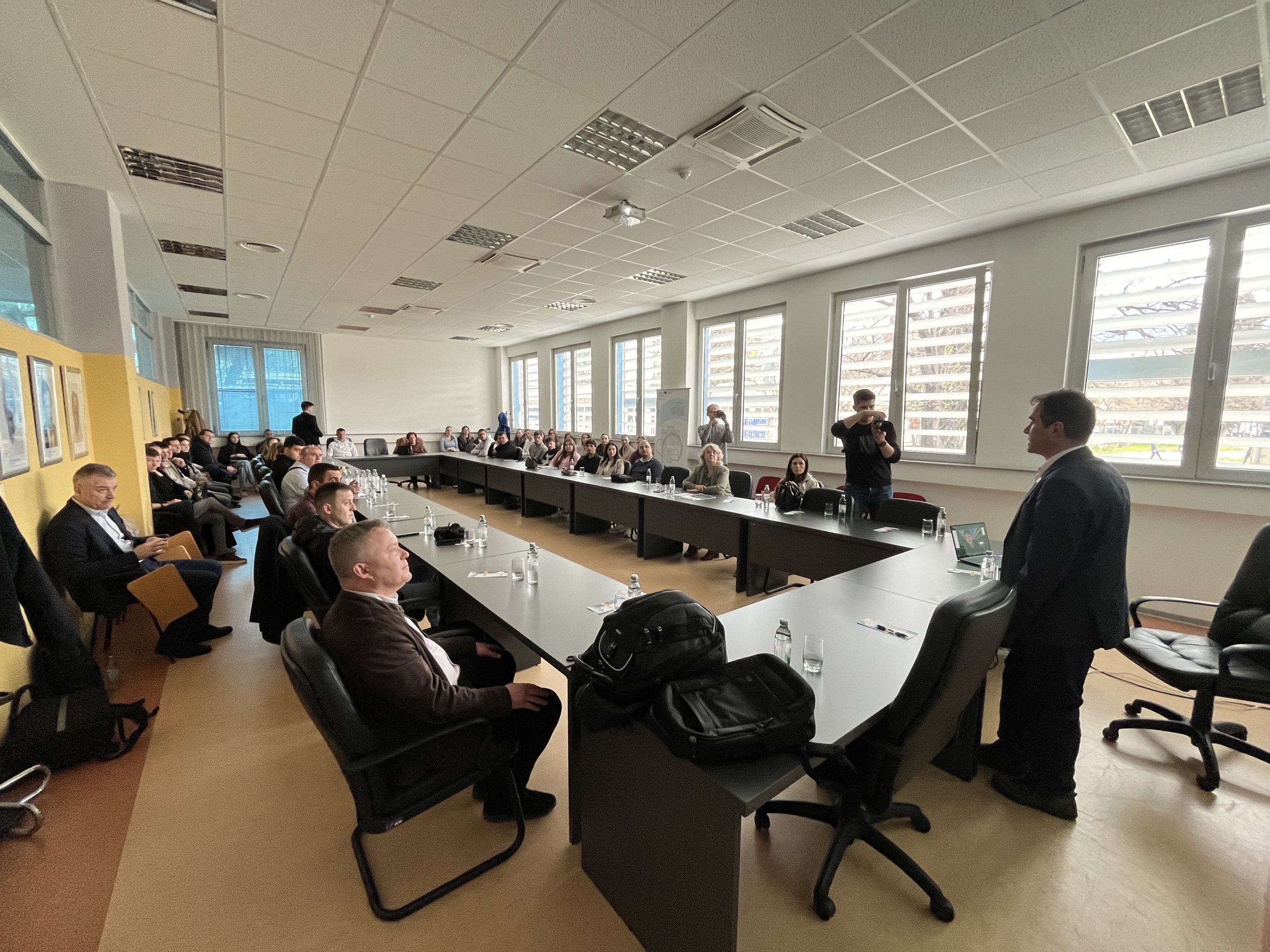
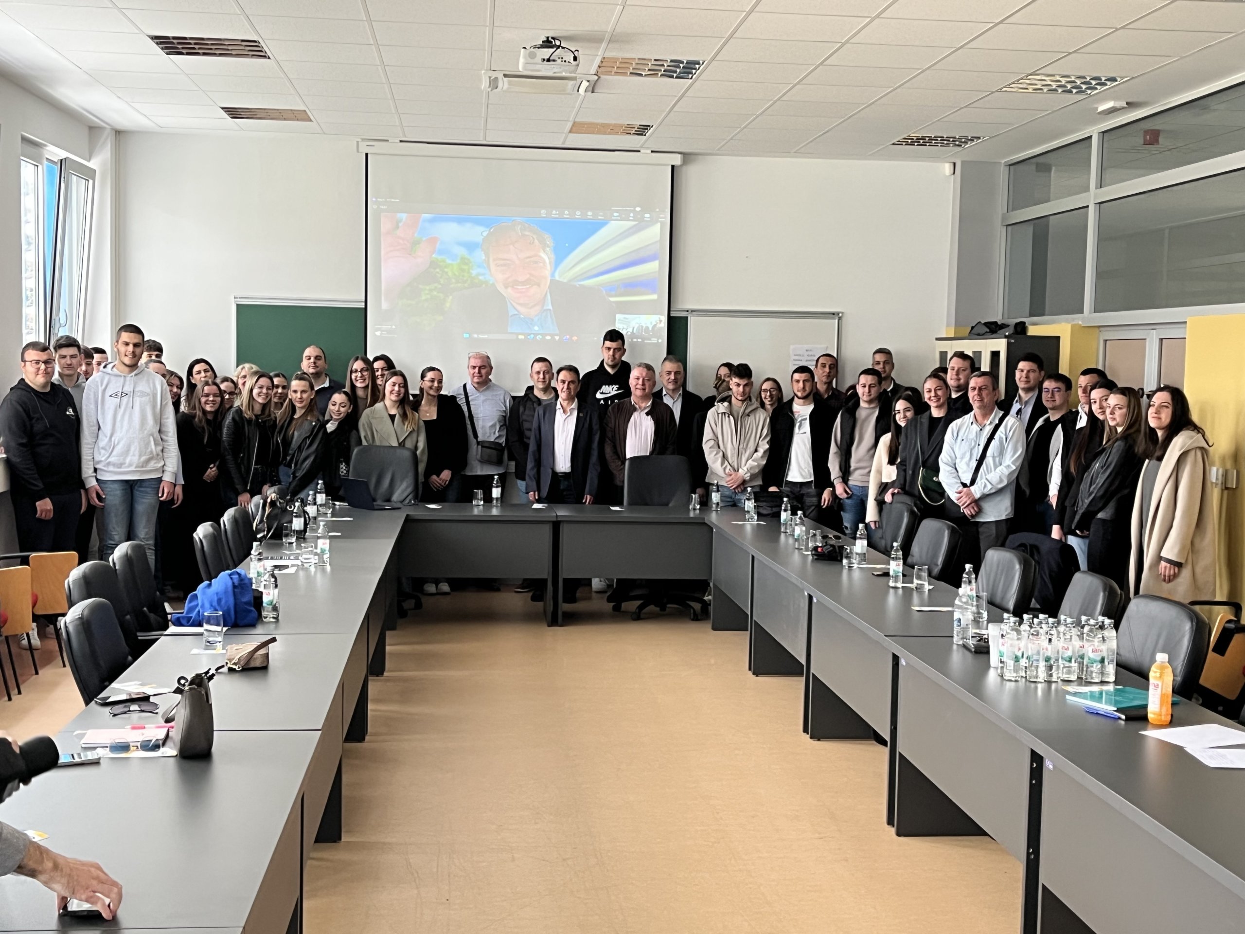
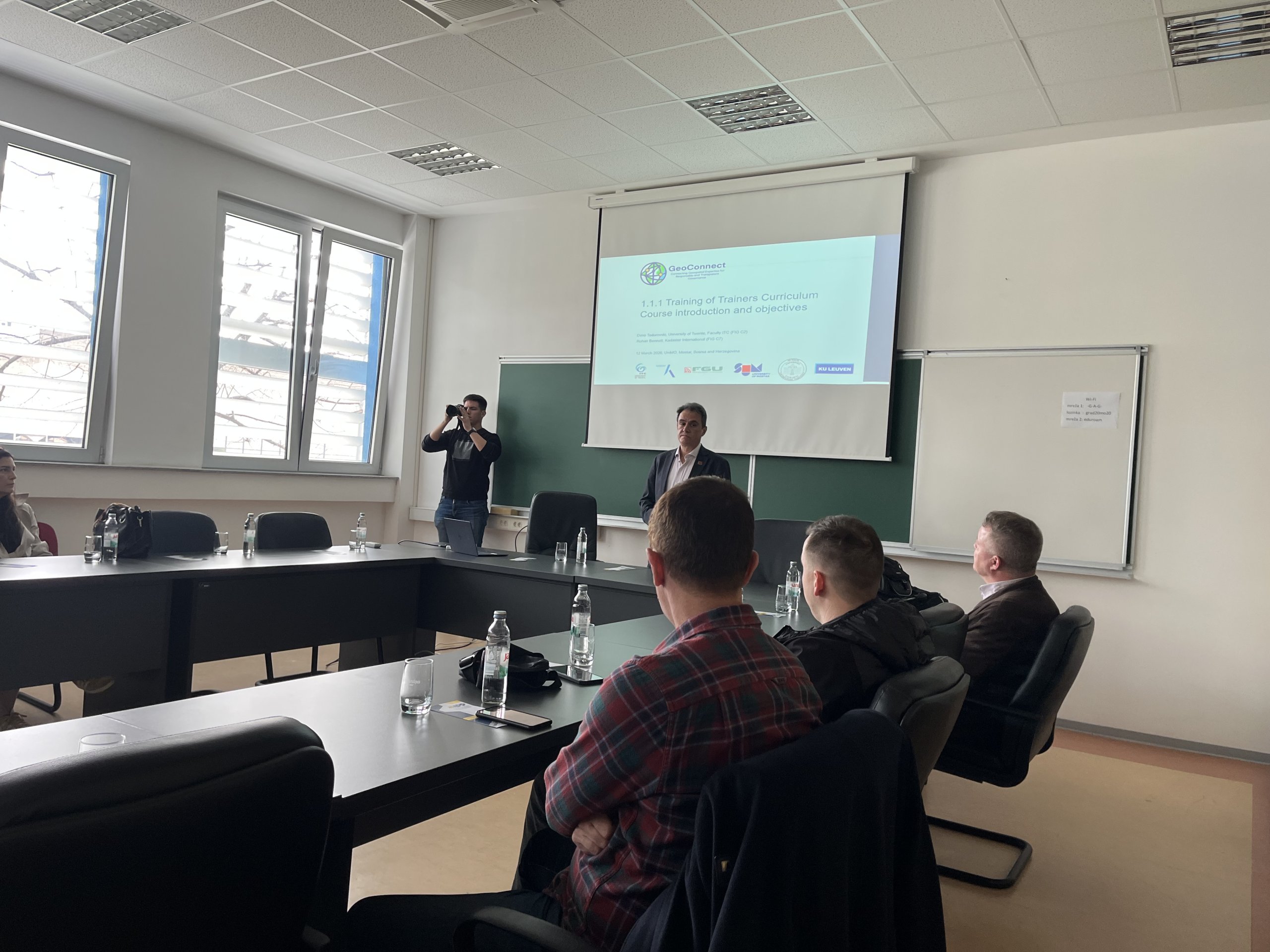
Within the GeoConnect project, funded by the Netherlands Enterprise Agency (RVO) through the Matra Government-to-Government (Matra G2G) programme, the workshop Training of Trainers – Enhanced Institutional Capacity was held on March 12, 2026, at the Faculty of Civil Engineering, Architecture and Geodesy of the University of Mostar. The workshop was led by Dr. Dimo Todorovski from the University of Twente.

The aim of the workshop was to strengthen institutional capacities in the field of geospatial data management and the development of the National Spatial Data Infrastructure (NSDI) in the Federation of Bosnia and Herzegovina. Special emphasis was placed on developing pedagogical and technical skills required for future training in geoinformation and spatial data, as well as on applying standards aligned with the EU INSPIRE Directive.

The workshop programme included lectures, discussions, case studies, and group work, through which participants initiated the process of developing a future curriculum in the field of spatial data infrastructure. Particular attention was given to adult learning methods and modern collaborative learning approaches.

In this process, the University of Sarajevo and the University of Mostar play a key role as leading institutions responsible for the development of the future NSDI curriculum in the Federation of Bosnia and Herzegovina, while international partners – ITC University of Twente and Kadaster International – provide methodological support and share international experience and best practices.

The workshop gathered representatives of universities, secondary schools, and the Federal Administration for Geodetic and Property Affairs. The results of the workshop are expected to contribute to the further development of educational programmes and the strengthening of capacities in the field of geospatial data in Bosnia and Herzegovina.

REQUEST FOR EXPRESSIONS OF INTEREST

REQUEST FOR EXPRESSIONS OF INTEREST (CONSULTING SERVICES -FRAMEWORK AGREEMENT – FIRMS SELECTION)

Bosnia And Herzegovina

Federation of Bosnia And Herzegovina

Federal Administration for Geodetic and Real Property Affairs

Geospatial Infrastructure and Valuation Enhancement Project (GIVE)

Loan No.: 96760-BA

Issue date: 05.03.2026.

Assignment Title: Development of FBiH SDI data standards and model

Reference No. (as per Procurement Plan): A.1.2.1

Bosnia and Herzegovina and Federation of Bosnia and Herzegovina, through sub-agreement with Bosnia and Herzegovina has received financing from the World Bank toward the cost of the Geospatial Infrastructure and Valuation Enhancement Project (GIVE), and intends to apply part of the proceeds for consulting services.

The consulting services (“the Services”) include establishing a repeatable methodology, set of deliverables and acceptance criteria for developing, implementing, and testing spatial data models for spatial data sources of SDI stakeholders. A systematic approach to spatial data model design must be established by defining the conceptual, logical, and physical structures for the selected sources, in line with the relevant international standards (such as ISO, OGC, INSPIRE, Law on SDI FBiH) and requests from SDI stakeholders. This will lay the foundation for long-term interoperability, better organization and accessibility of stakeholder data, and strengthen the role of the SDI as a framework for the digital transformation of public administration and more effective spatial data management in the Federation of BiH.

This shall be used for contracting a Framework Agreement (FA), under which the Procuring Agency may issue multiple Call-Off Contracts/Work Orders. Each Call-Off Contract shall cover one clearly identified spatial data source (or theme) and shall be implemented through the phases and deliverables defined in Terms of Reference (ToR). For each Call-Off Contract, the Procuring Agency shall issue an Assignment Brief specifying: (i) the spatial data source/theme and responsible SDI stakeholder, (ii) available input datasets and formats, (iii) scope boundaries and assumptions, (iv) test environment and access arrangements, and (v) any source-specific constraints.

The Framework Agreement shall be concluded for a Term of 3 years, from the commencement date stated in the Framework Agreement. The initial term may be extended by a maximum of two additional years. The selection of a FA Consultant to be awarded a Call-off Contract will be done through a Secondary Procurement process as defined in Framework Agreement. However, the conclusion of a Framework Agreement shall not impose any obligation on the Procuring Agency, including participating Employers, to purchase Consulting under a Call-off Contract. The overall deadline for the Call-off Contract implementation shall be 180 calendar days from the signing of the Call-off Contract.

The Terms of Reference (TOR) for the primary procurement stage for the assignment can be found at the following website: http://fgu.com.ba/

The Federal Administration for Geodetic and Real Property Affairs now invites eligible consulting firms (“Consultants”) to indicate their interest in providing the Services. Interested Consultants should provide information demonstrating that they have the required qualifications and relevant experience to perform the Services. At the initial stage, the evaluation shall be based solely on the qualifications and experience of the Consulting Firm (as an individual firm or as a joint venture/consortium). Curricula vitae (CVs) of Key Experts are not required and shall not be evaluated at the shortlisting stage. The maximum score is 100 points, awarded based on the cumulative assessment of the shortlisting criteria. An EoI shall be considered responsive and eligible for shortlisting only if it achieves a minimum score of fifty (50) points out of one hundred (100).

Consultants may associate with other firms to enhance their qualifications, but should indicate clearly whether the association is in the form of a joint venture and/or a sub-consultancy. For JV/consortium submissions, the EoI shall clearly indicate: (i) the Lead Partner, (ii) the roles and responsibilities of each member, and  (iii) proposed coordination arrangements. Shortlisting criteria may be fulfilled cumulatively by the JV/consortium, meaning that relevant experience, references, and capacity of all JV/consortium members may be aggregated and considered in the evaluation, considering their proposed roles and responsibilities. The Lead Partner shall act as the primary point of contact for FGA. Required JV/consortium documentation (to be attached to the EoI): A signed Letter of Intent to form a JV/consortium (or equivalent written agreement) by all members, identifying the Lead Partner and confirming commitment to submit a proposal in case shortlisted; and A brief JV/consortium arrangement note describing roles, division of responsibilities, and allocation of references/experience to the proposed roles.

The shortlist will contain five (5) to eight (8) firms.

Shortlisting Criteria, Scoring and Expected Supporting Evidence (to be submitted with the EoI) are:

CRITERION 1: GENERAL EXPERIENCE (MAXIMUM 20 POINTS)

The Firm shall be awarded up to 20 points based on the quality and relevance of corporate experience and references.

  1. Minimum years in business (up to 7 points): At least two (2) years in business providing professional services in one or more of the following fields: geodesy, geoinformatics, GIS/SDI, land administration, IT/software engineering, data engineering, enterprise architecture, digital transformation, environmental information systems, utilities/asset management systems, or related fields. Expected evidence to be submitted with the EoI: Proof of legal establishment and registration (e.g., company registry extract, certificate of incorporation, or equivalent official registration document) indicating the year of establishment (for JV/consortium submissions: for each member).
  2. Core business relevance (up to 13 points): Demonstrated corporate track record in delivering assignments such as: (i) development/integration of information systems or registries; (ii) data modelling and/or standardisation (spatial or non-spatial); (iii) database development and management; (iv) interoperability, data exchange, APIs, or service-oriented architectures; (v) implementation support, documentation and/or training for enterprise systems, for public sector or regulated industries.Expected evidence to be submitted with the EoI:Firm Profile (maximum 2 pages) summarising relevant business lines and service areas; and Relevant project references documented through Project Reference Sheets and corresponding attachments (as described under Criterion 2). References may be provided cumulatively by JV/consortium members.

CRITERION 2: SPECIFIC EXPERIENCE RELEVANT TO THE ASSIGNMENT (MAXIMUM 60 POINTS)

The Firm shall be awarded up to 60 points based on the quality and relevance of project references comparable in deliverables and complexity. References may relate to geospatial SDI work or equivalent data/standards/interoperability projects in other sectors, provided that outputs are transferable to the assignment. Relevant project areas include:

  1. Data modelling / standards / interoperability specifications (up to 18 points);
  2. Standards and frameworks alignment (INSPIRE, ISO 191xx, OGC, CityGML, LADM, GML/XML, GeoPackage, or equivalent national/sectoral standards such as ISO/IEC, W3C, OpenAPI, industry reference models) (up to 14 points);
  3. Schema/API implementation and validation (XSD/JSON Schema, REST/OpenAPI, controlled vocabularies, validation workflows, QA pipelines) (up to 10 points);
  4. Database and platform implementation (spatial/enterprise DB, performance, integrity constraints, migration, ETL/ELT) (up to 10 points);
  5. Service enablement and publication (WMS/WFS/WCS, tile services, catalogues, portals, OGC API, REST services) (up to 8 points).

Expected evidence to be submitted with the EoI (mandatory format): For each reference claimed under this criterion, the Firm shall submit a Project Reference Sheet (maximum 2 pages per reference) including, at minimum: Project title; Client name and contact details; Country; Implementation period (start/end); Firm’s role (Lead / JV member / subcontractor) and brief description of scope; Key deliverables relevant to the assignment; Standards/technologies applied (where relevant); Contract value (indicative, if available). Expected reference attachments (mandatory – at least one per reference):

For each reference, the Firm shall attach at least one (1) of the following (commercially sensitive information may be redacted):

  • Contract extract / purchase order / work order evidencing the Firm’s engagement; or
  • Certificate of completion / acceptance certificate / client confirmation letter; or
  • Client reference/recommendation letter; or
  • Links or screenshots evidencing published deliverables (e.g., public documentation, geoportal/service endpoint), where applicable; or
  • Other verifiable evidence acceptable to FGA confirming participation and delivery.
  • For JV/consortium submissions, references may be submitted cumulatively by all members. Each reference sheet shall clearly indicate which member performed which part of the assignment and how it relates to the proposed role within the JV/consortium.

CRITERION 3: ADDITIONAL PREFERENTIAL CRITERIA (MAXIMUM 20 POINTS)

The Firm shall be awarded up to 20 points based on attributes that enhance implementation feasibility:

  1. Regional/BiH or comparable context experience (up to 8 points). Experience in Bosnia and Herzegovina and/or comparable contexts, or delivery of similar work for public institutions with complex governance arrangements. Expected evidence to be submitted with the EoI: Project Reference Sheets (as per Criterion 2), supported by at least one attachment per reference as listed under Criterion 2.
  2. Local capacity and language (up to 6 points). Ability to operate in Bosnian/Croatian/Serbian and deliver meetings/workshops and key documentation in local language(s). Expected evidence to be submitted with the EoI: Self-declaration confirming operational capacity in Bosnian/Croatian/Serbian; and Optional supporting evidence (recommended): sample excerpt of a prior deliverable/training agenda in local language(s) or client confirmation indicating local-language delivery.
  3. Standards/model governance and maintenance (up to 6 points). Demonstrated experience in establishing or supporting governance and maintenance arrangements for data standards and models, including change management (versioning), stakeholder review cycles, issue tracking, and publication of updated versions (e.g., model repository, registry/catalogue updates). Expected evidence to be submitted with the EoI: One (1) to two (2) Project Reference Sheets where such governance/maintenance arrangements were implemented or supported; and At least one supporting attachment per reference as defined under Criterion 2 (acceptance letter, client confirmation, or deliverable extract/link evidencing versioning/change process).

The attention of interested Consultants is drawn to Section III, paragraphs, 3.14, 3.16, and 3.17 of the World Bank’s “Procurement Regulations for IPF Borrowers” September 2023, revised February 2023 and September 2025 (“Procurement Regulations”), setting forth the World Bank’s policy on conflict of interest. 

A Consultant will be selected in accordance with the Framework Agreement arrangements described in the Procurement Regulations and to be specifically set out in the Request for Proposals.

Further information can be obtained at the address below during office hours from 08:00 to 16:00.

Expressions of interest must be delivered in a written form to the address below by e-mail by March 31st, 2026.

Federal Administration for Geodetic and Real Property Affairs

GIVE Project Implementation Unit

Attn: Iva Vidović, Procurement Specialist

Hamdije Kreševljakovića 96, 71000 Sarajevo, Bosnia and Herzegovina

Tel: +387 33 586 063

E-mail: give_procurement@fgu.com.ba
Federal Administration for Geodetic and Real Property Affairs

Working hours: 08:00 - 16:00
Contact phone: 033/712-616
E-mail: ipp.fbih@fgu.com.ba
Hamdije Kreševljaković br.96

Sarajevo 71000

©FGU 2024, ALL RIGHTS RESERVED.