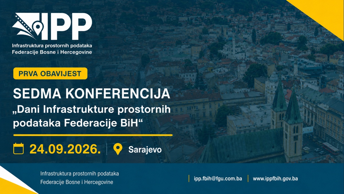
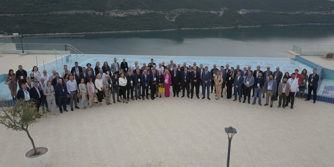
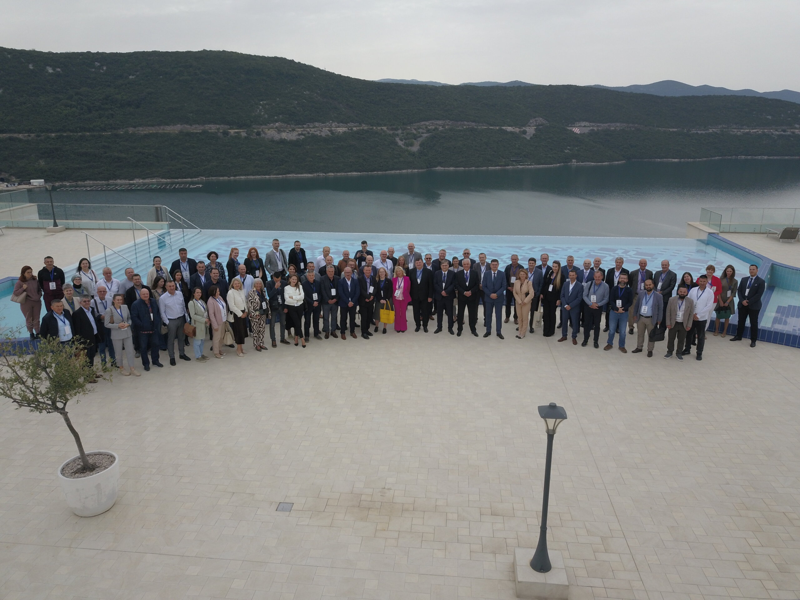
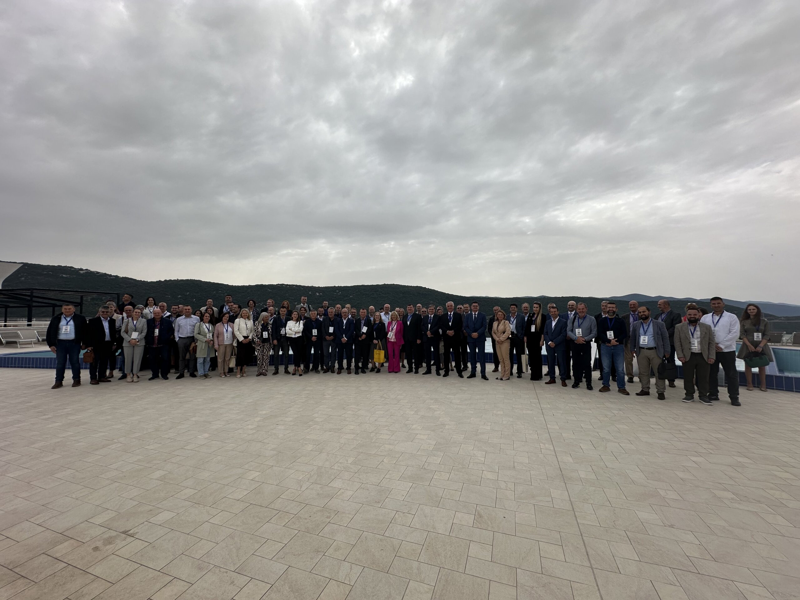
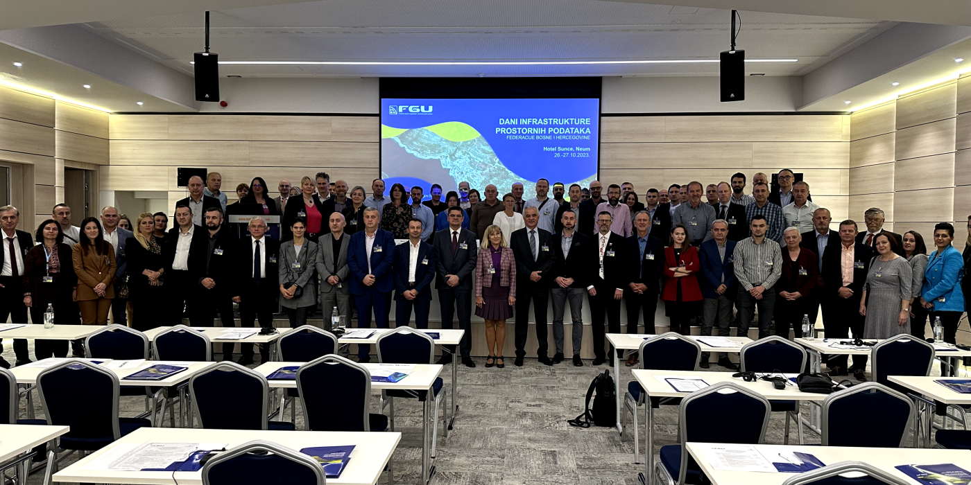
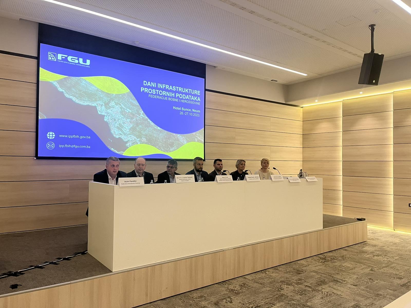
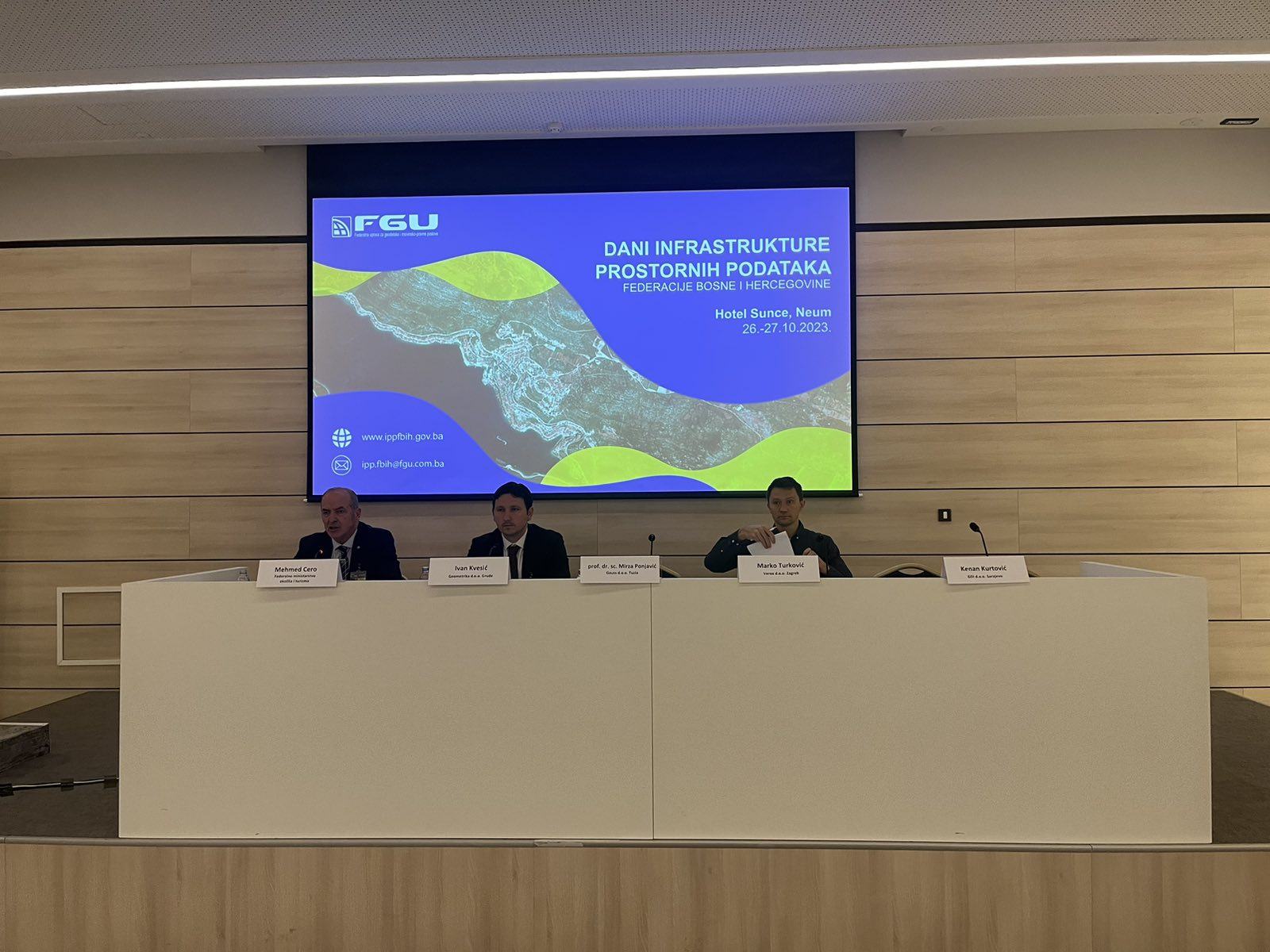
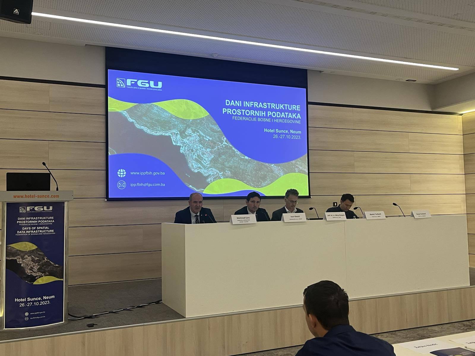
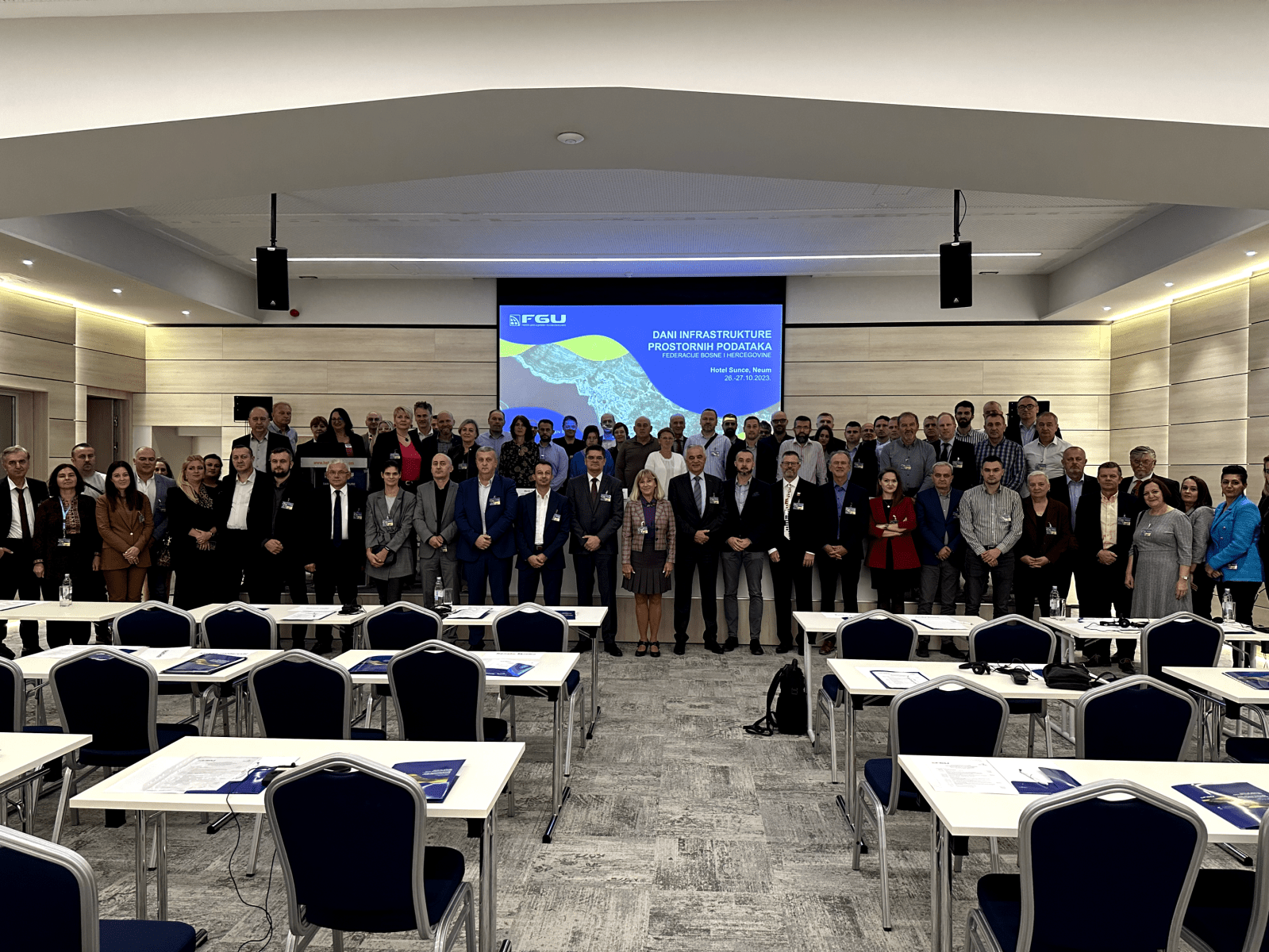
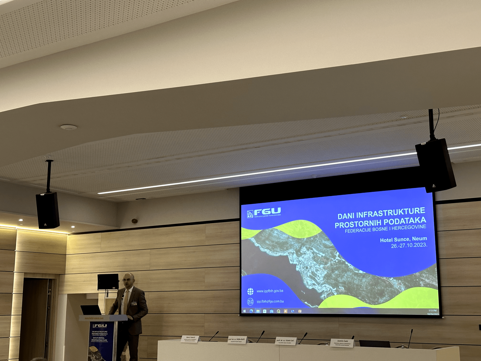
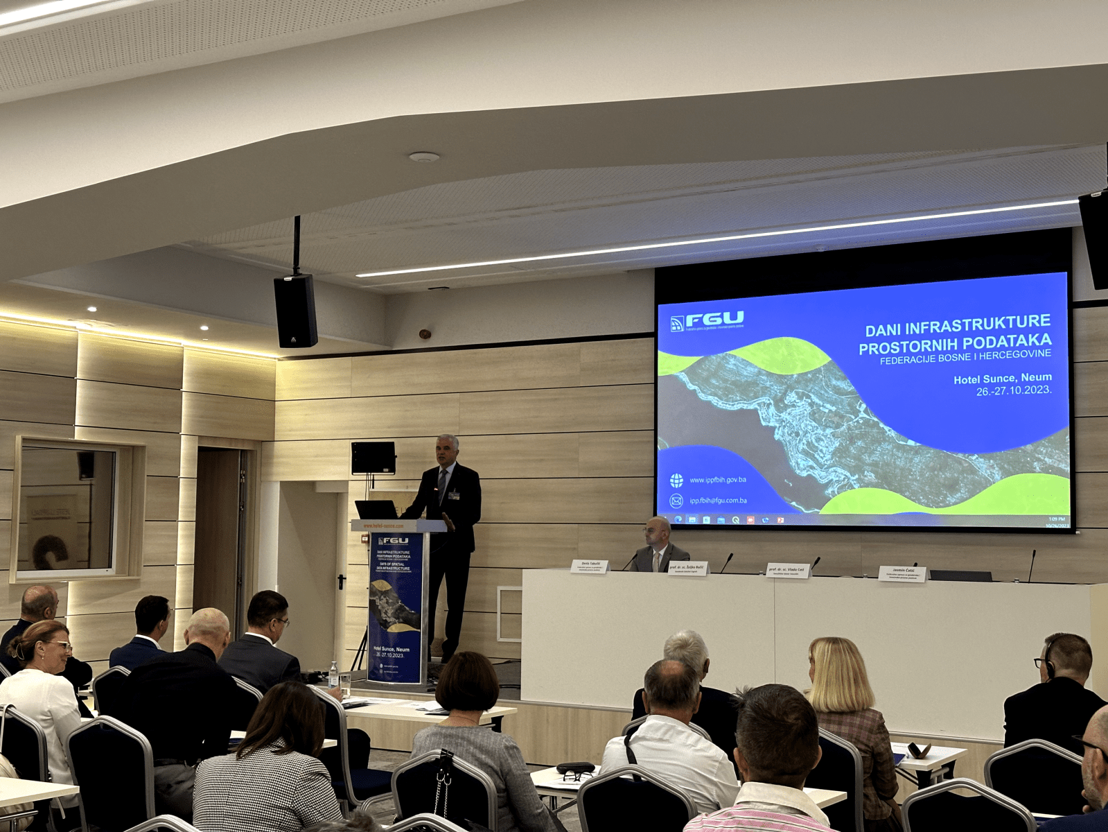
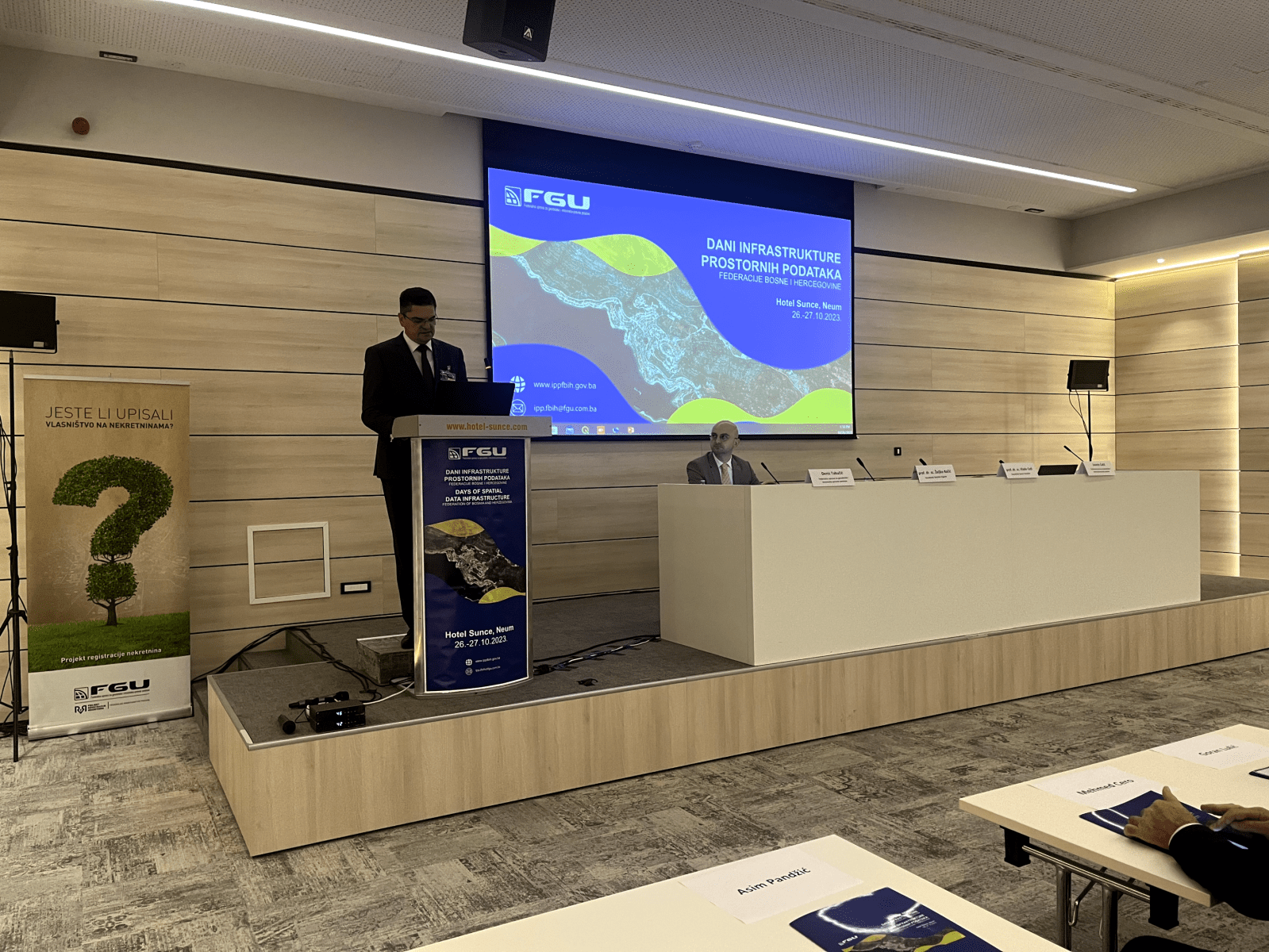
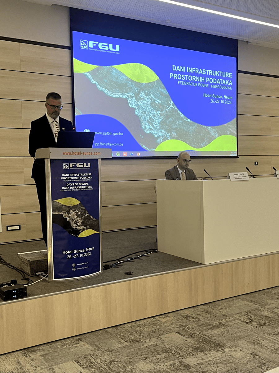
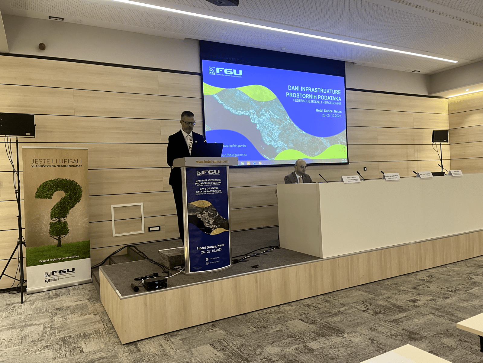
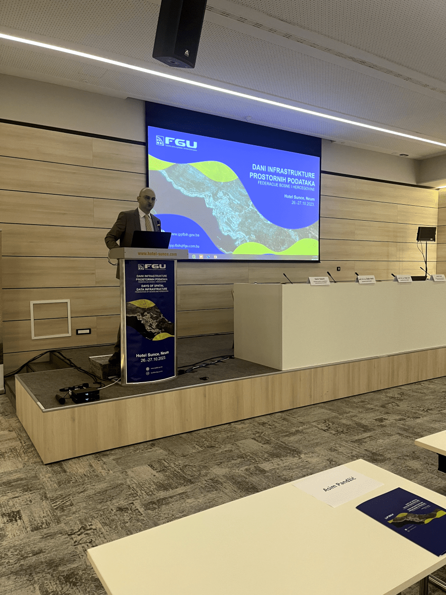
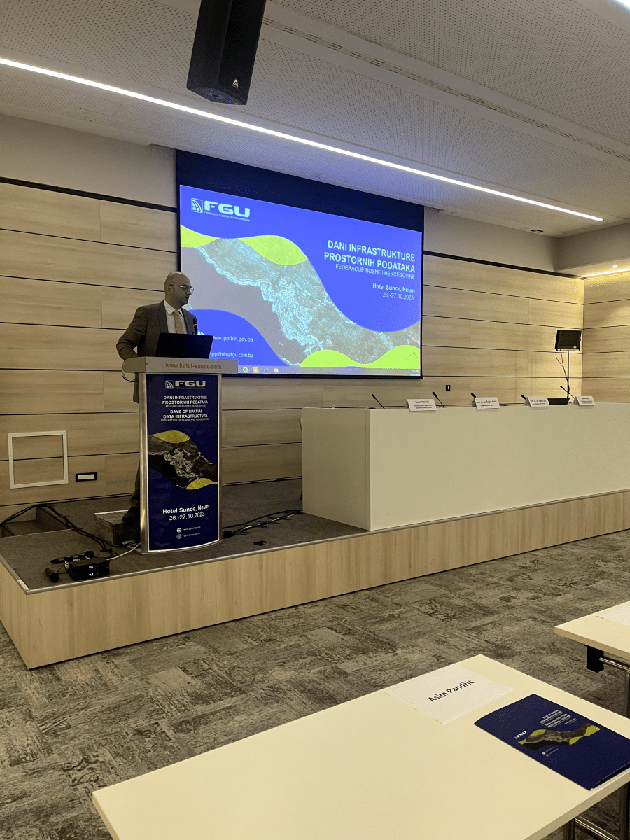
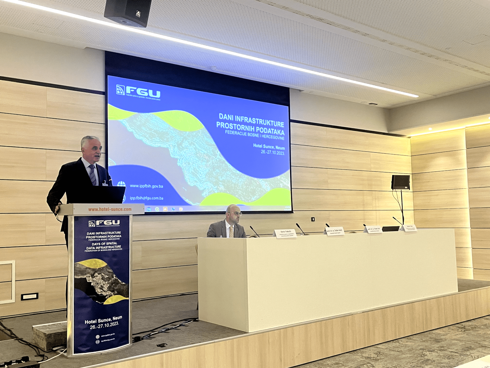
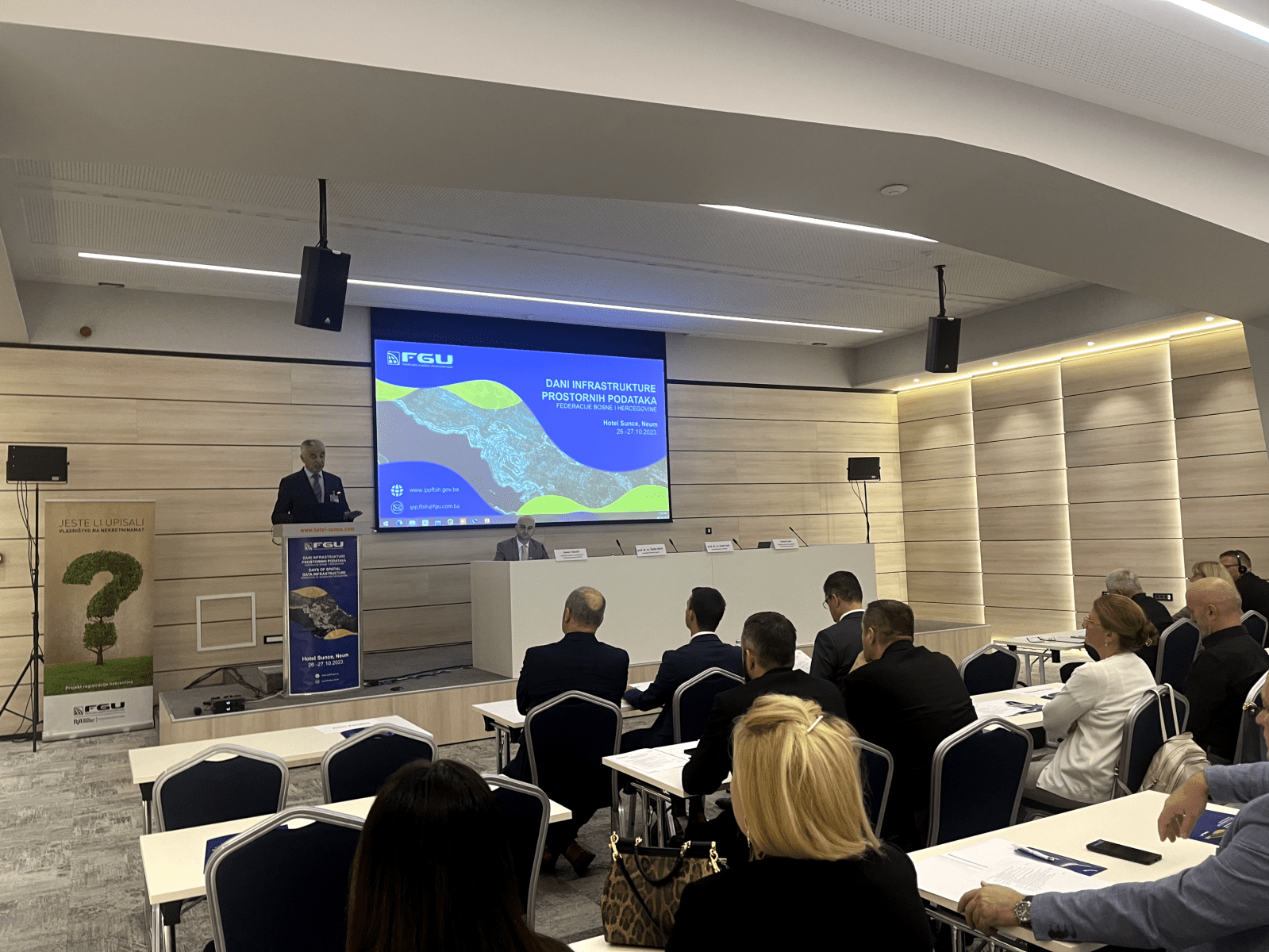
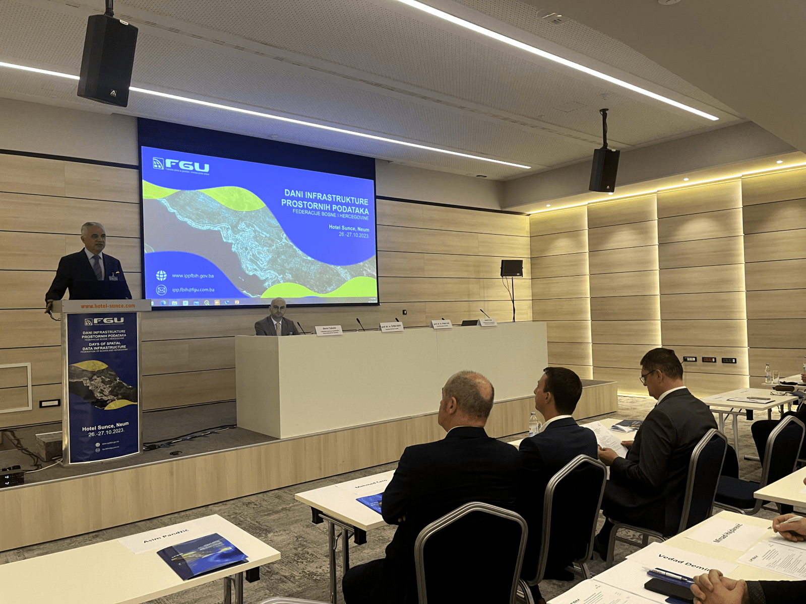
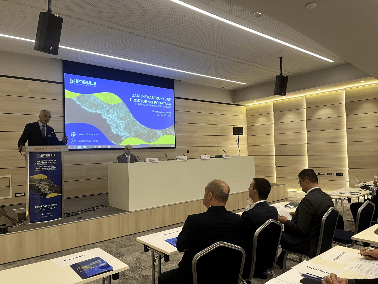
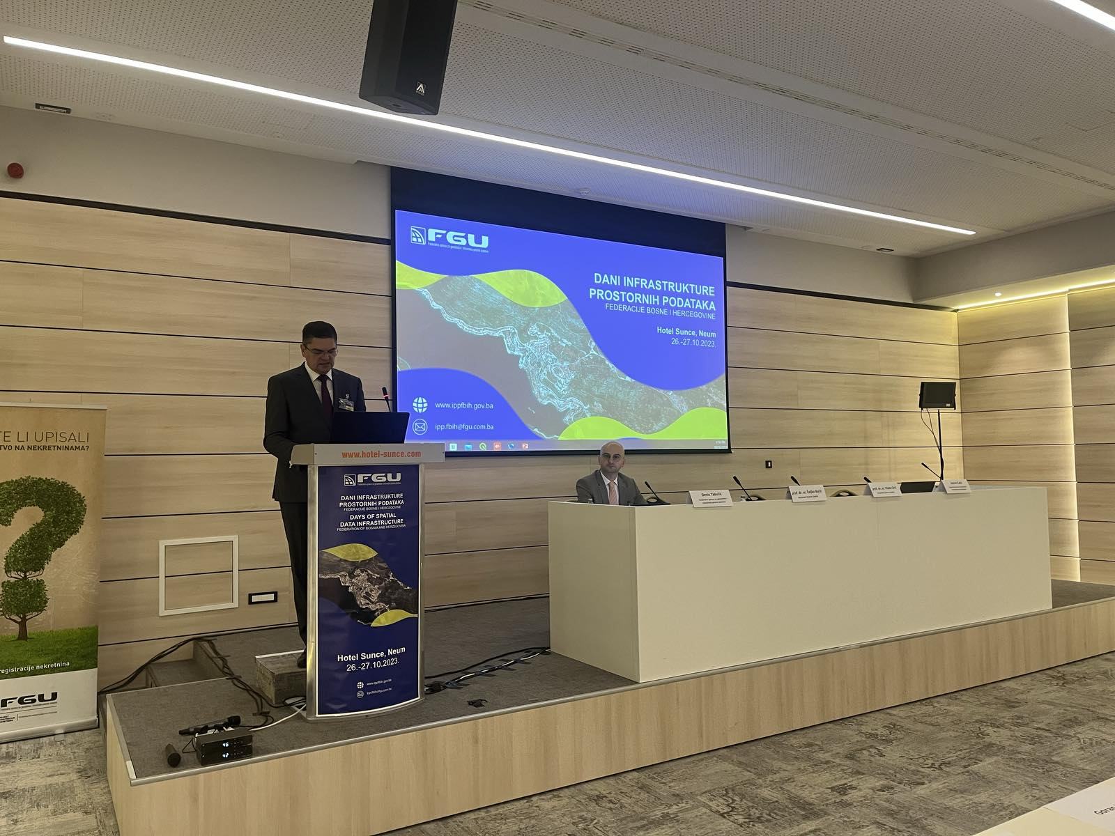
The conference “5th Spatial Data Infrastructure Days of the Federation of Bosnia and Herzegovina” was held in Neum on October 17 and 18, 2024, in the organization of the Federal Administration for Geodetic and Real Property Affairs, the coordinating body of the Spatial Data Infrastructure in the Federation of Bosnia and Herzegovina, and all with the support of the Swedish donor project DELEF.
The Conference represented a unique opportunity to gather all significant participants in the field of Spatial Data Infrastructure, as well as other interested parties, international representatives, the academic sector, and a forum for discussion, exchange of opinions and experiences, as well as an overview of current progress regarding this field.
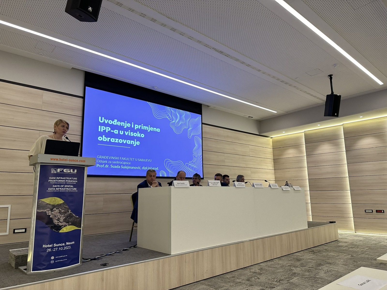
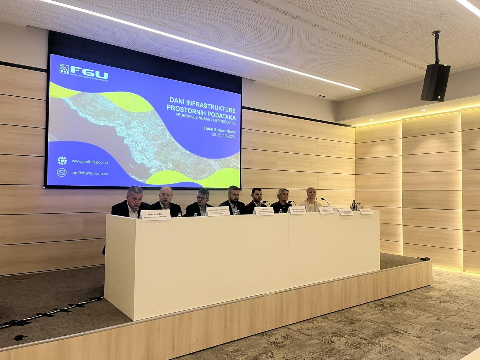
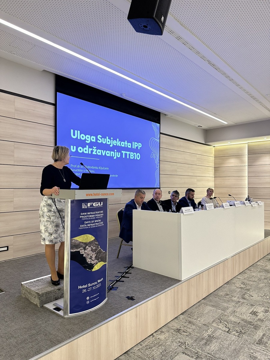
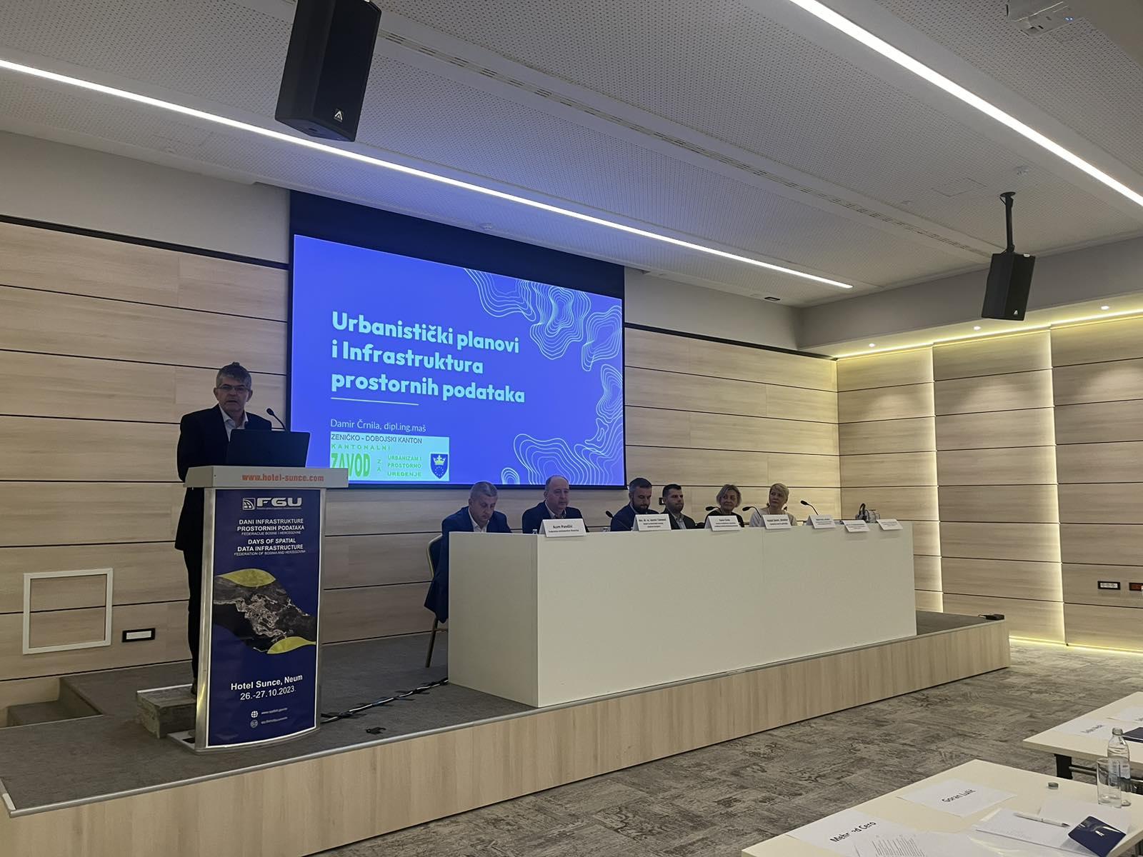
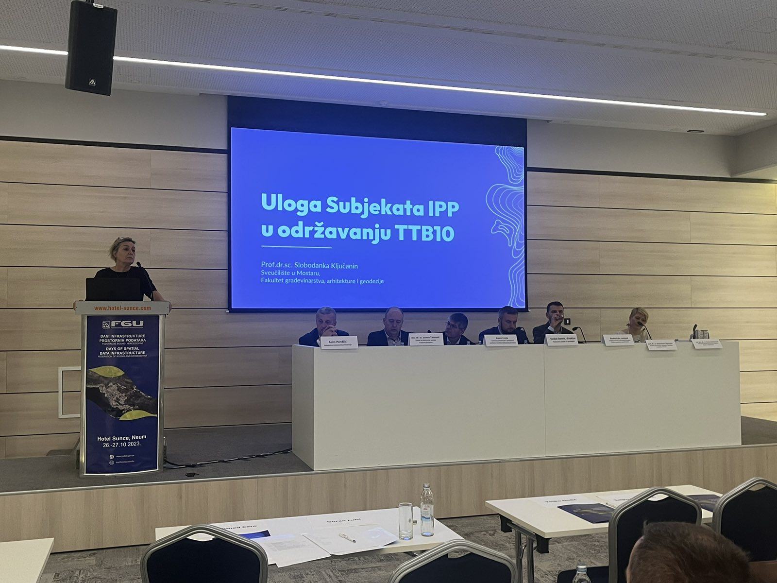
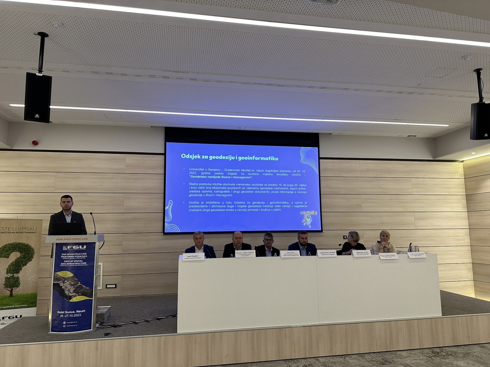
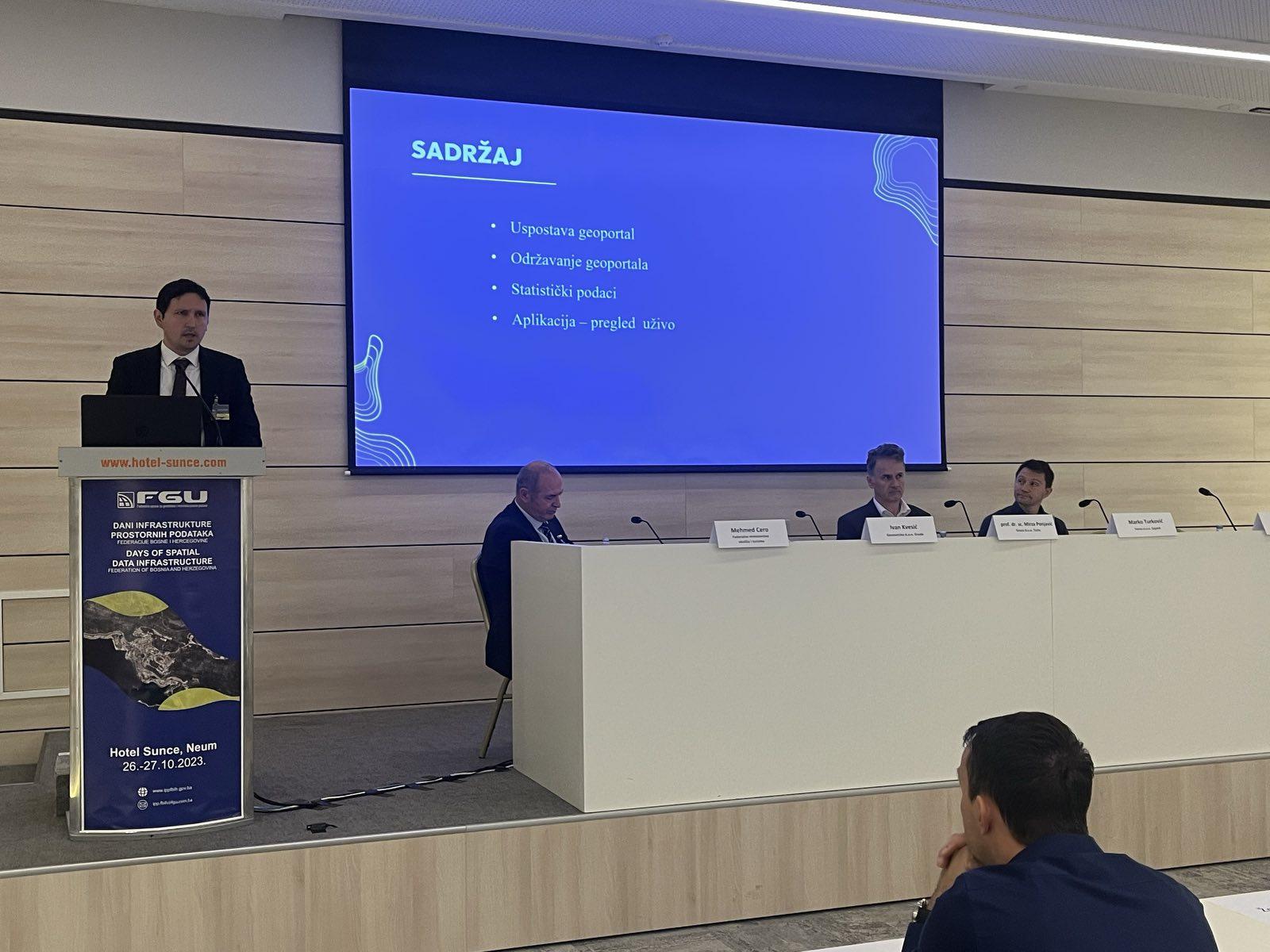
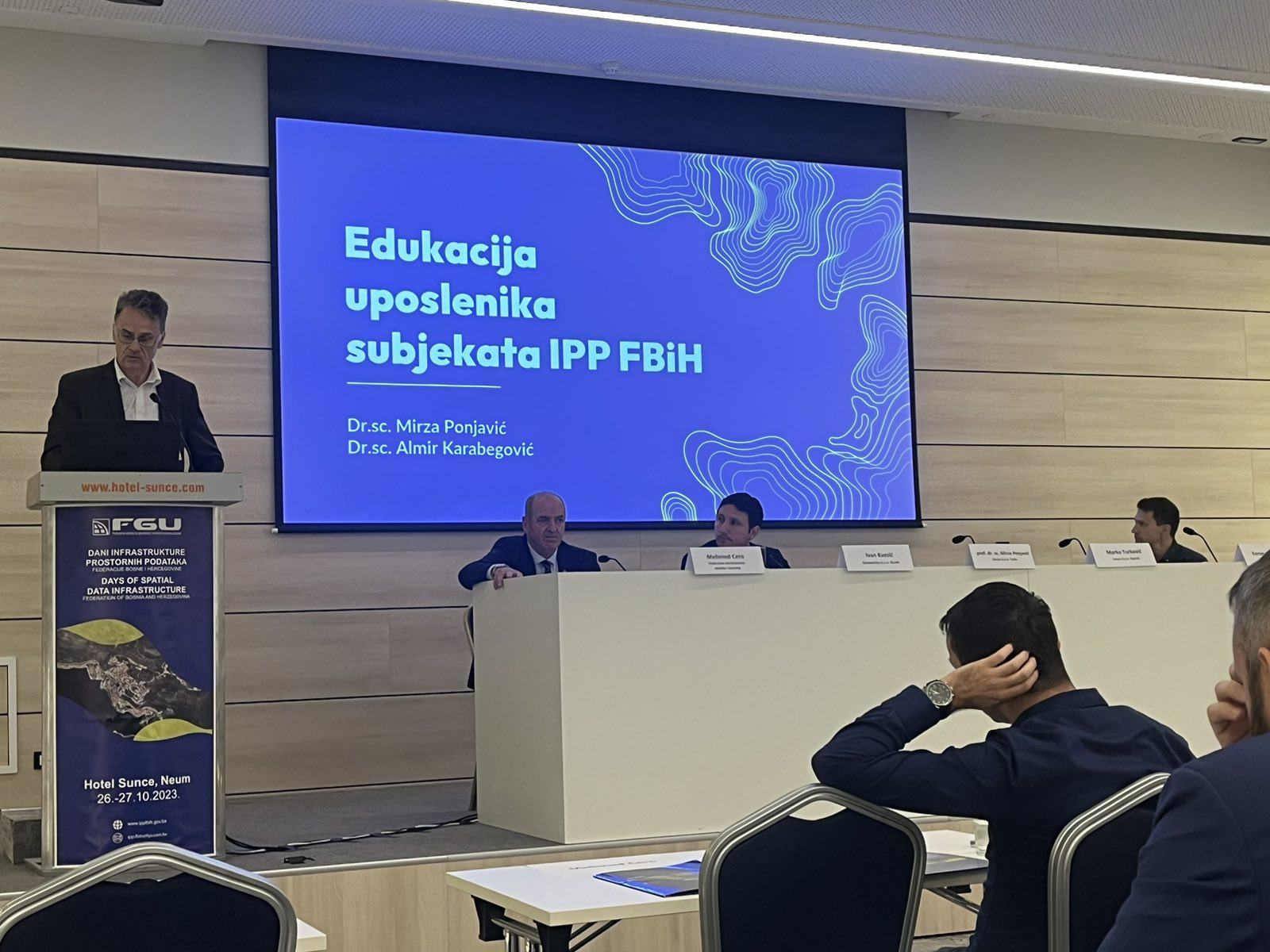
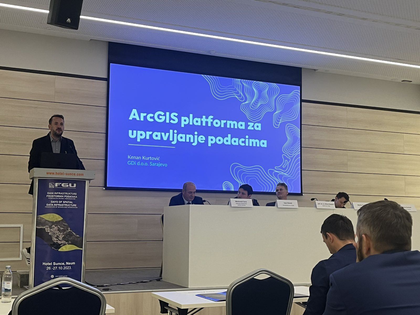
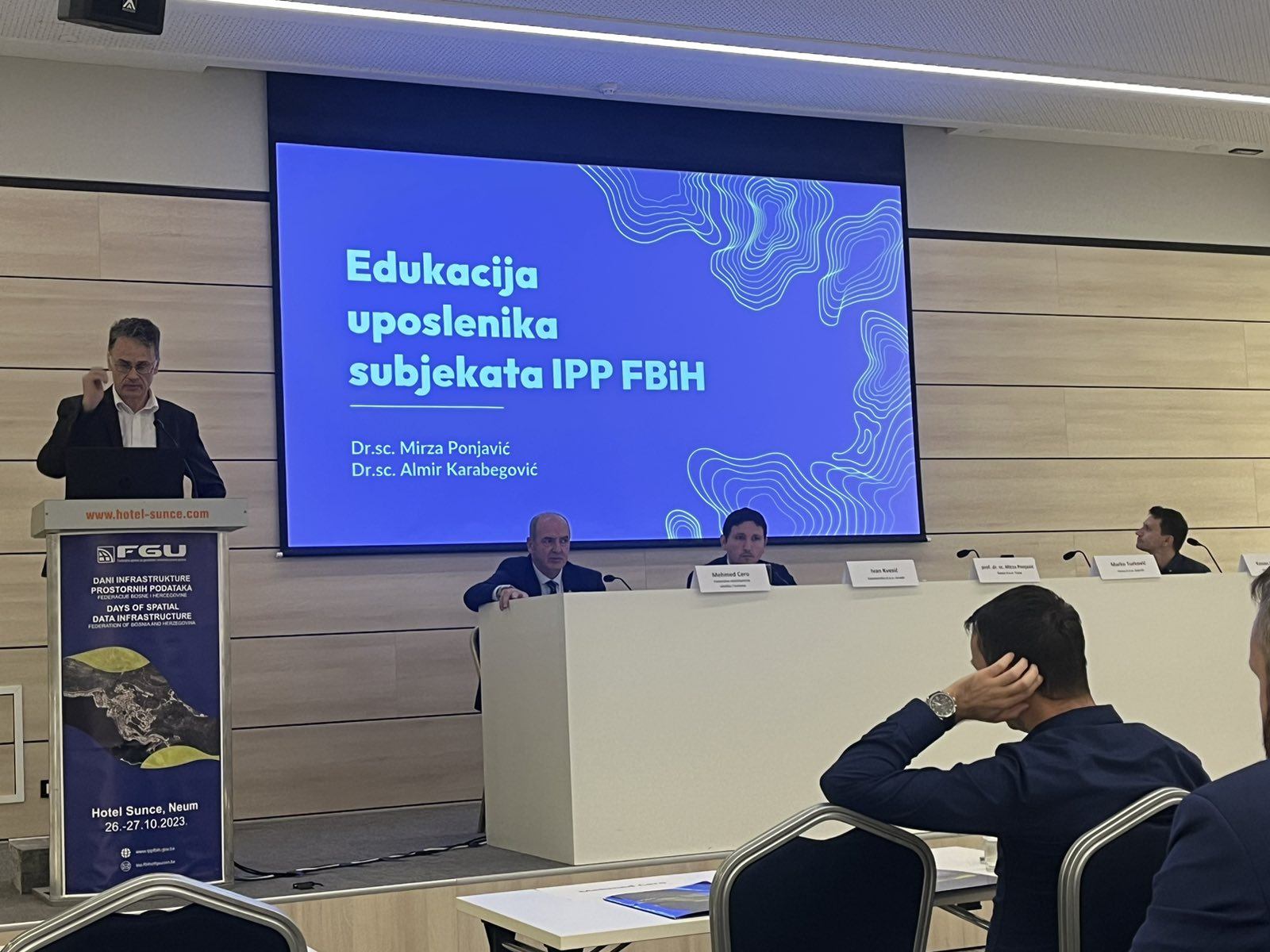
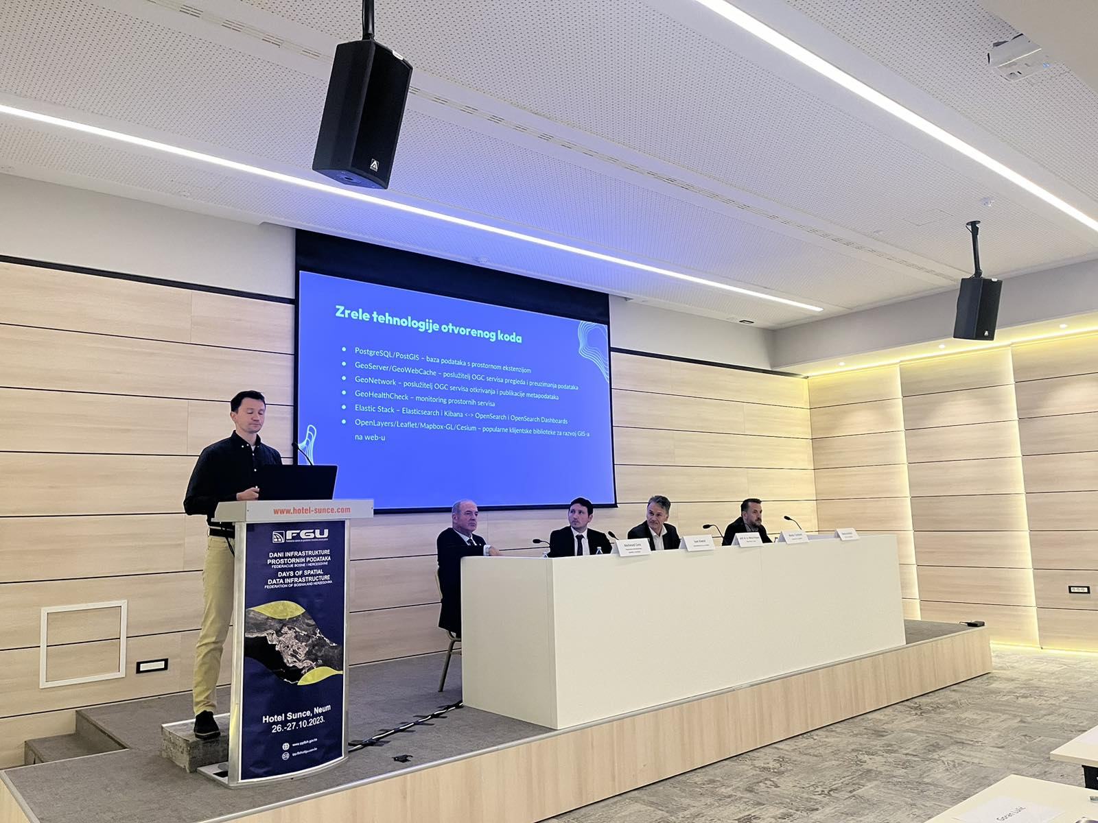
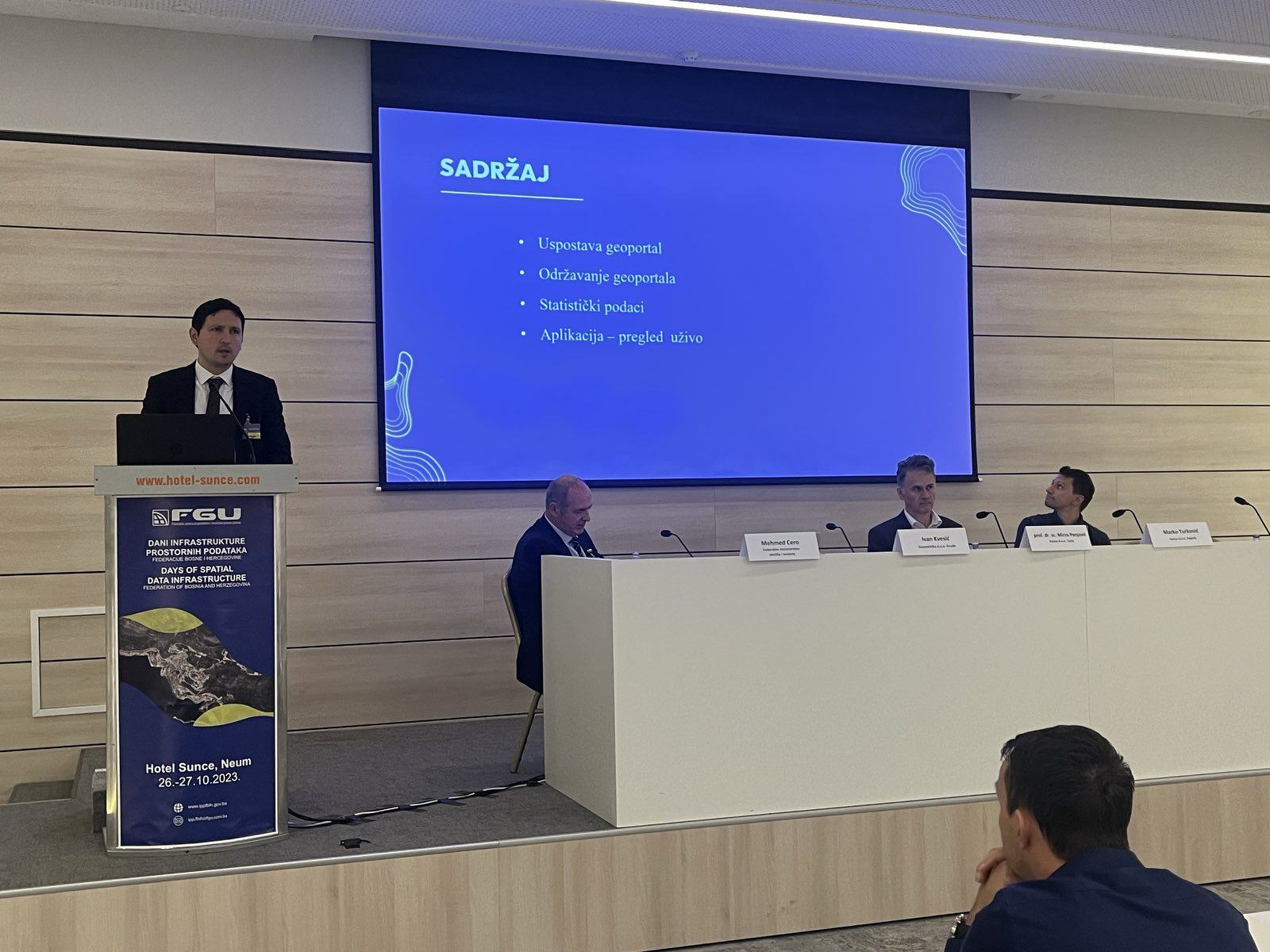
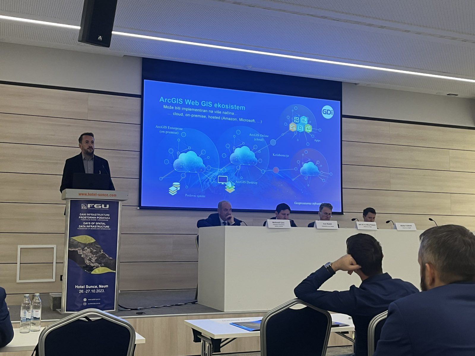
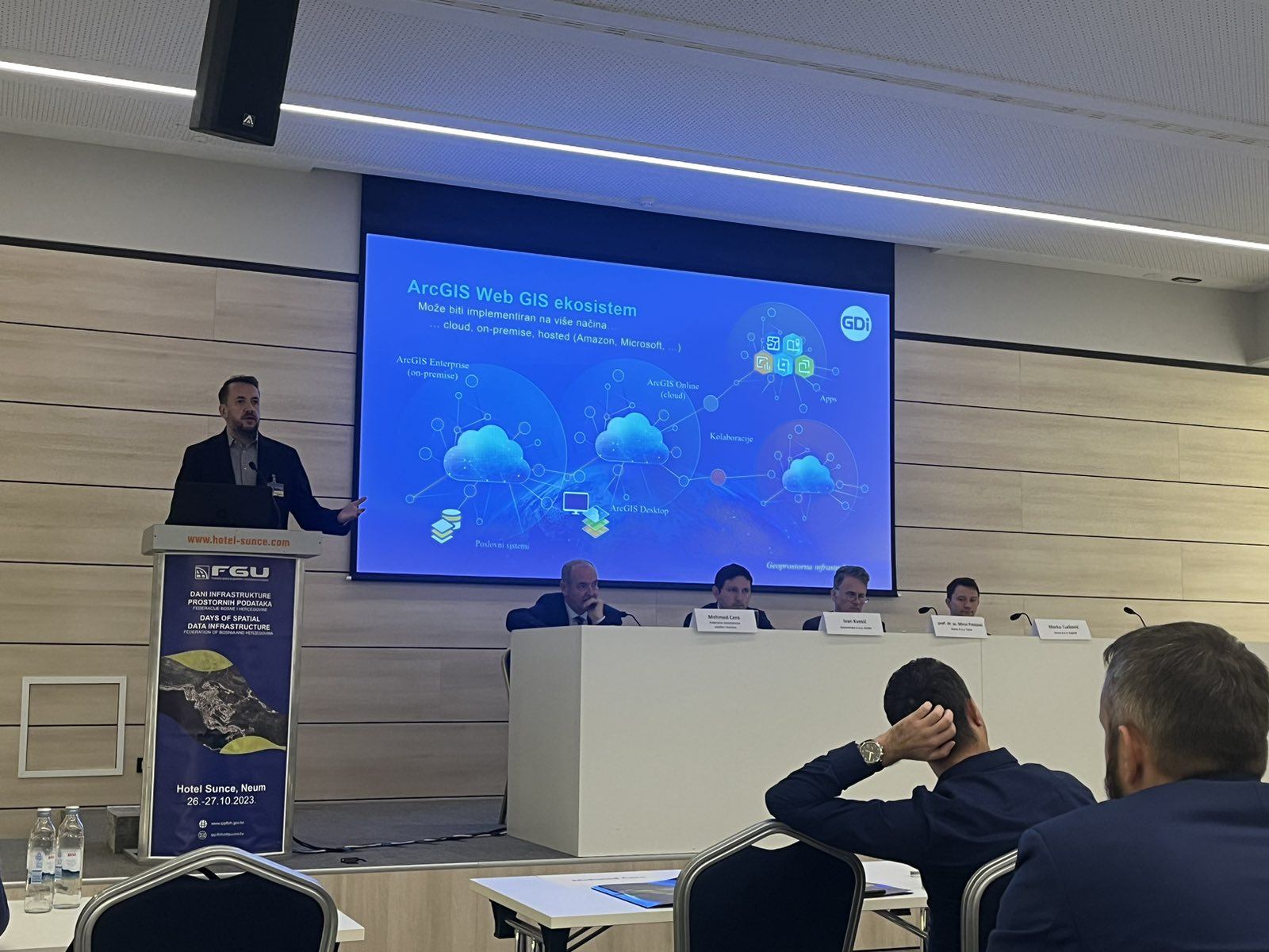
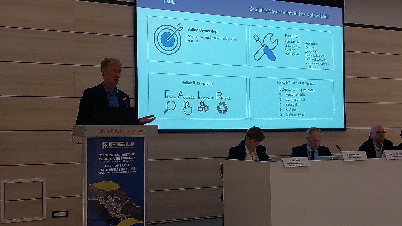
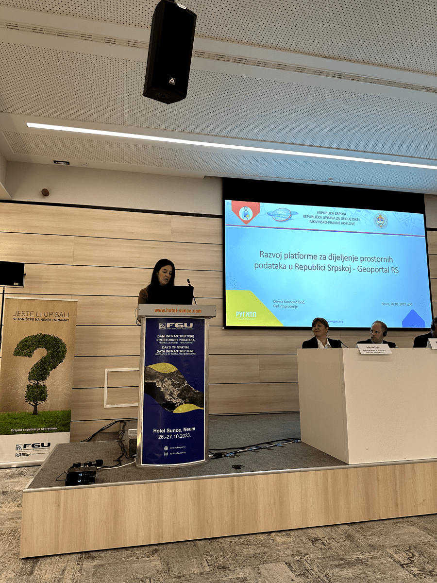
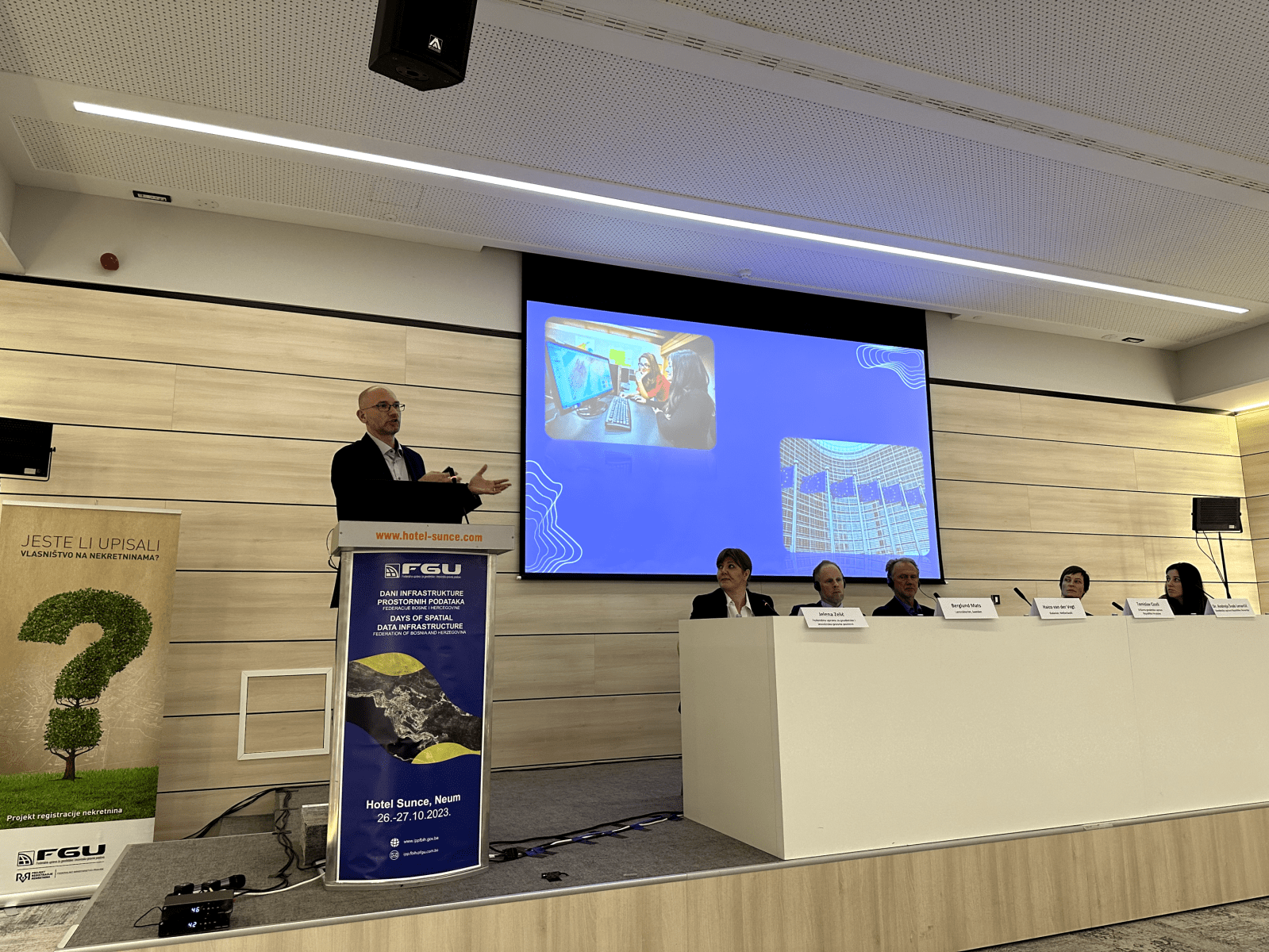
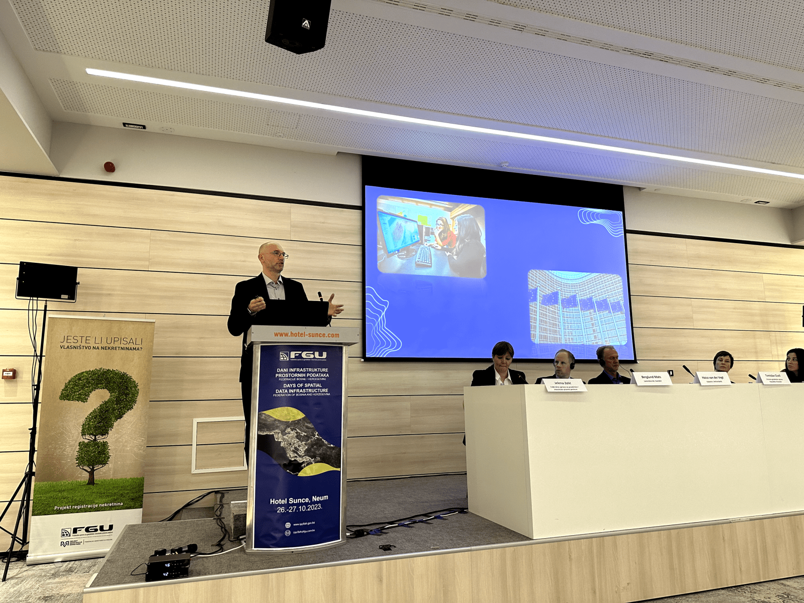
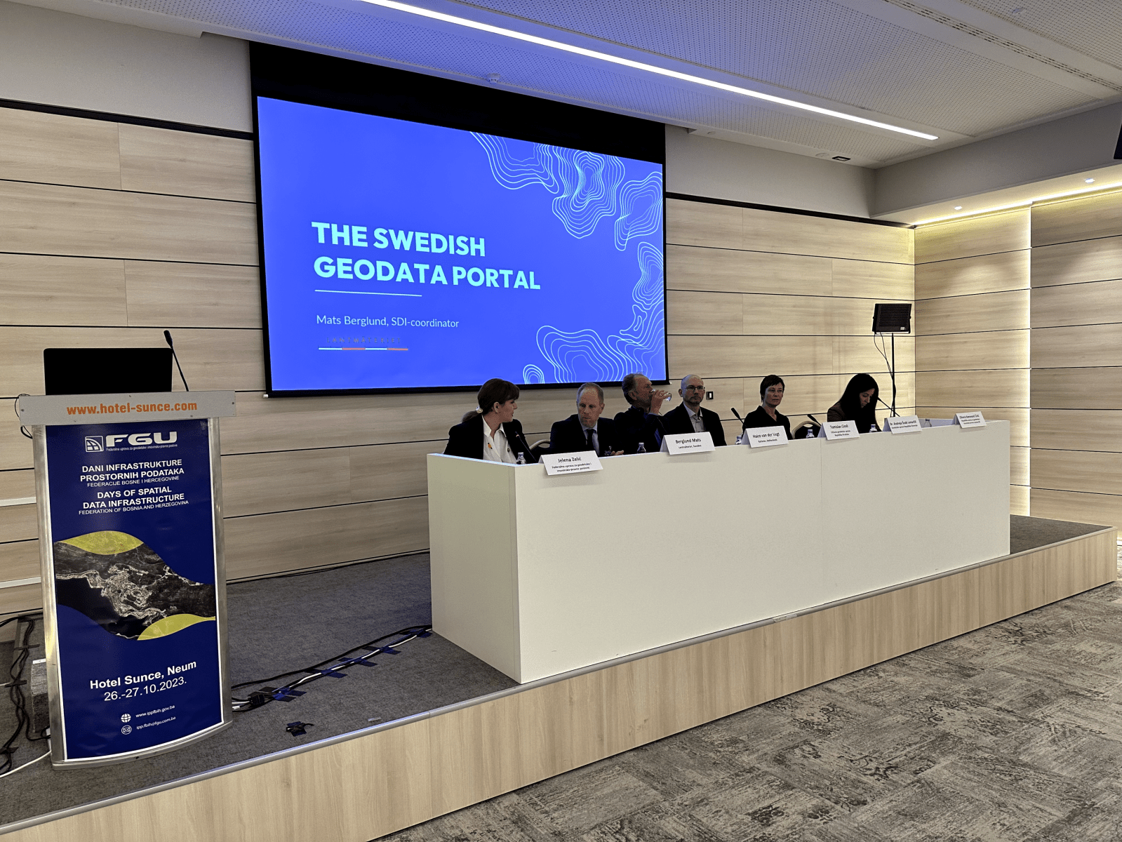
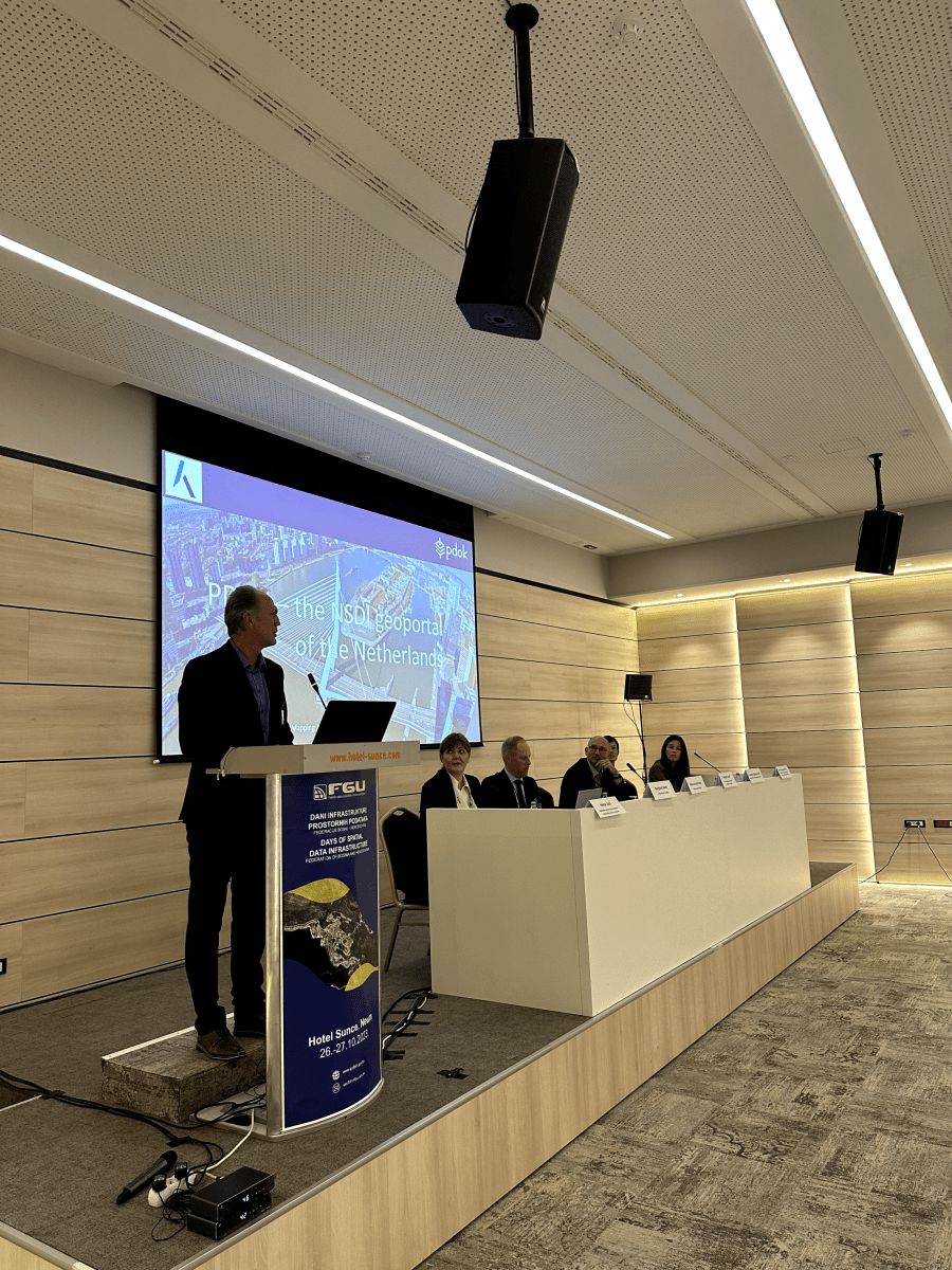
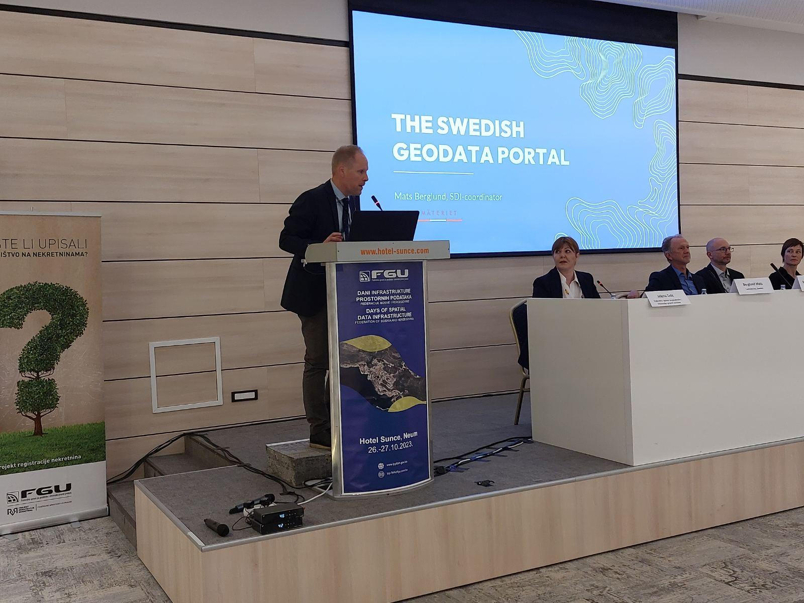
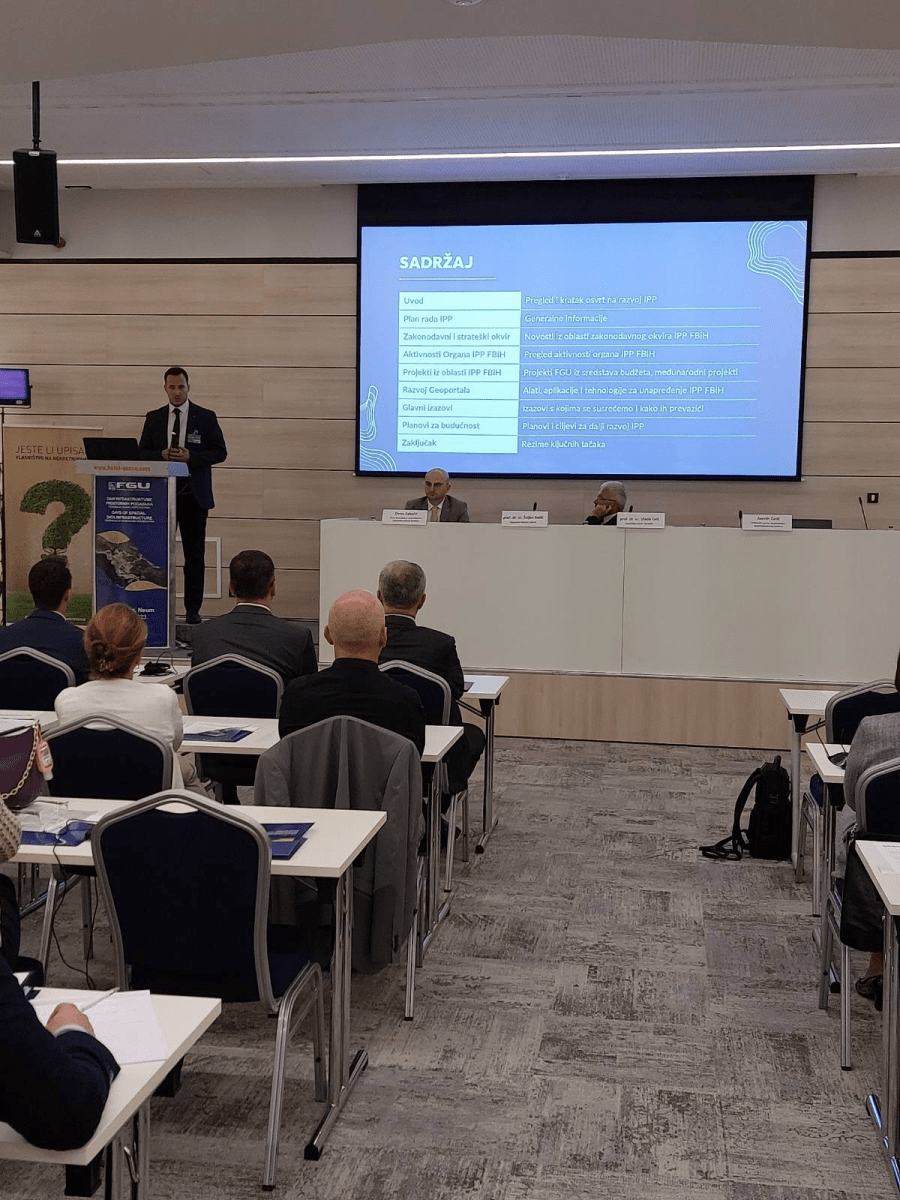
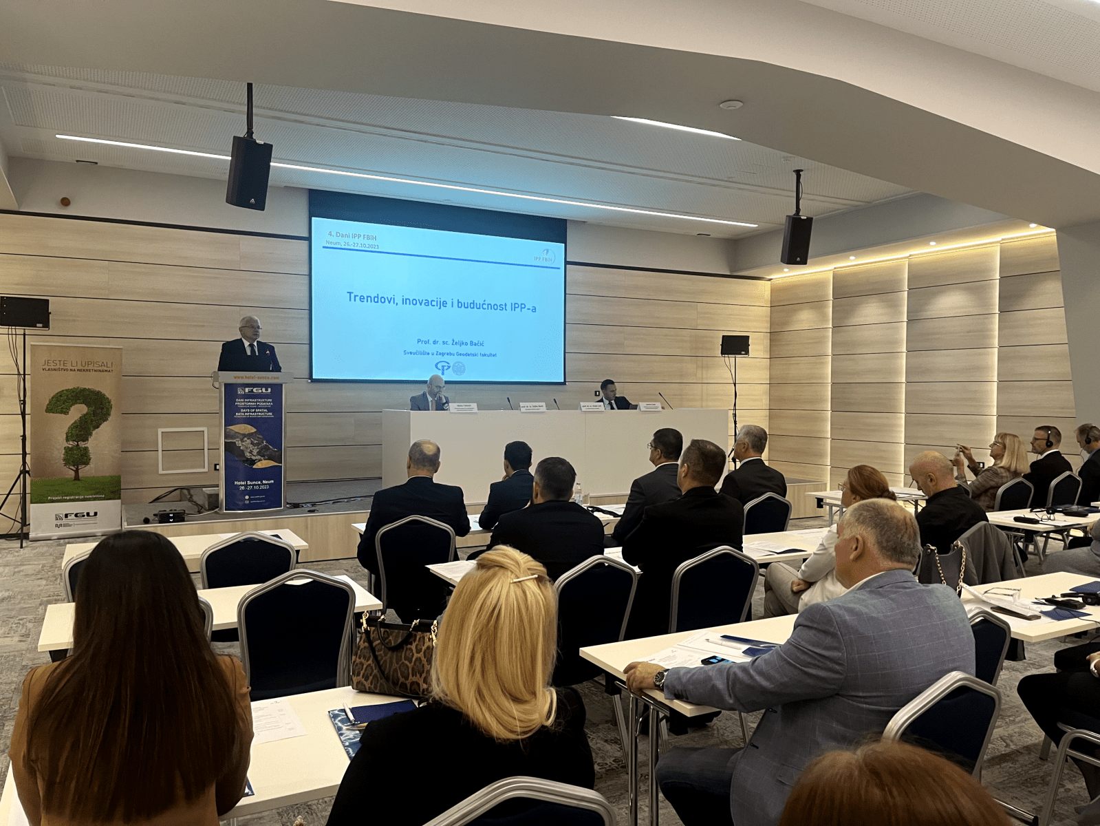
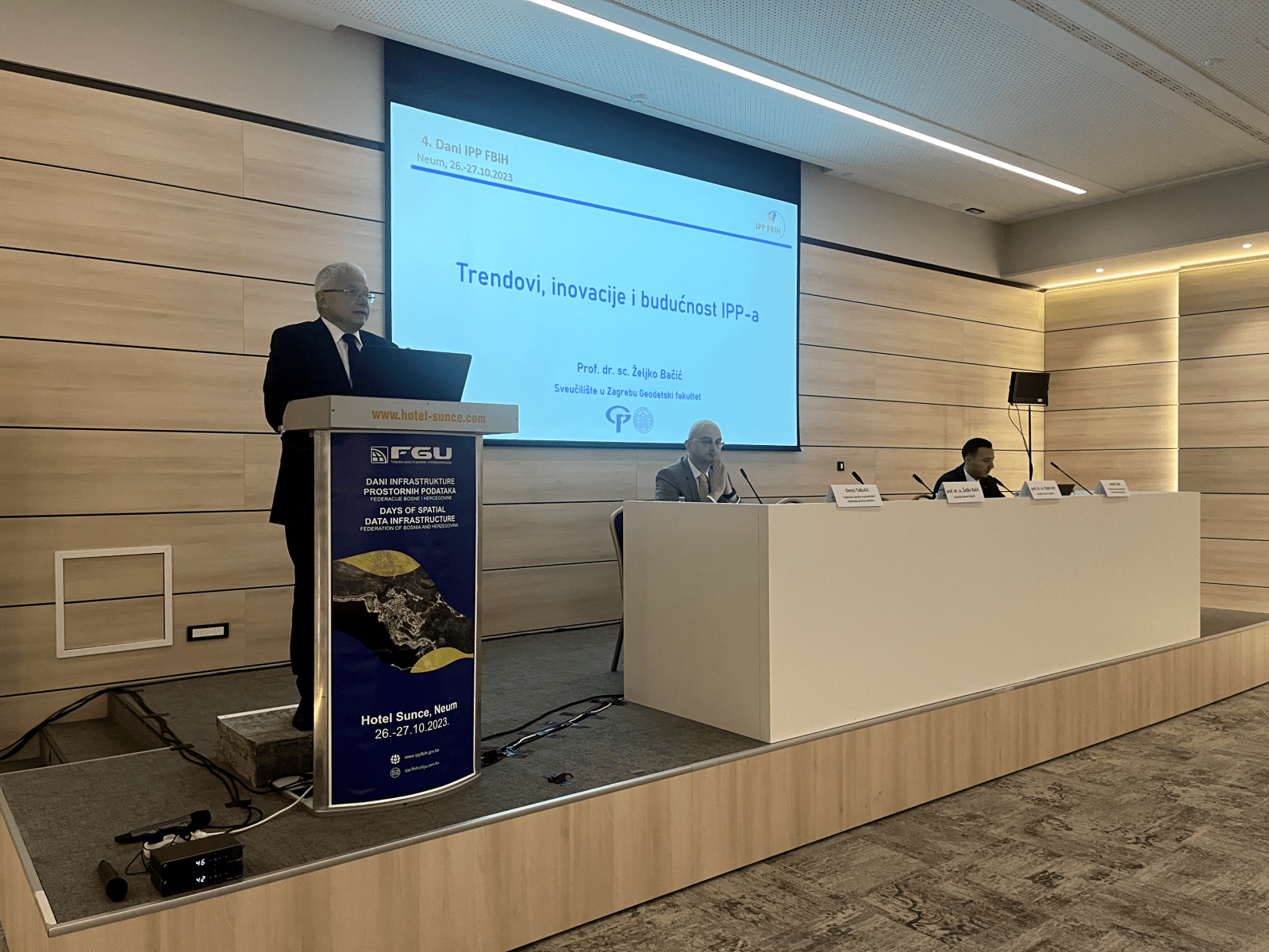
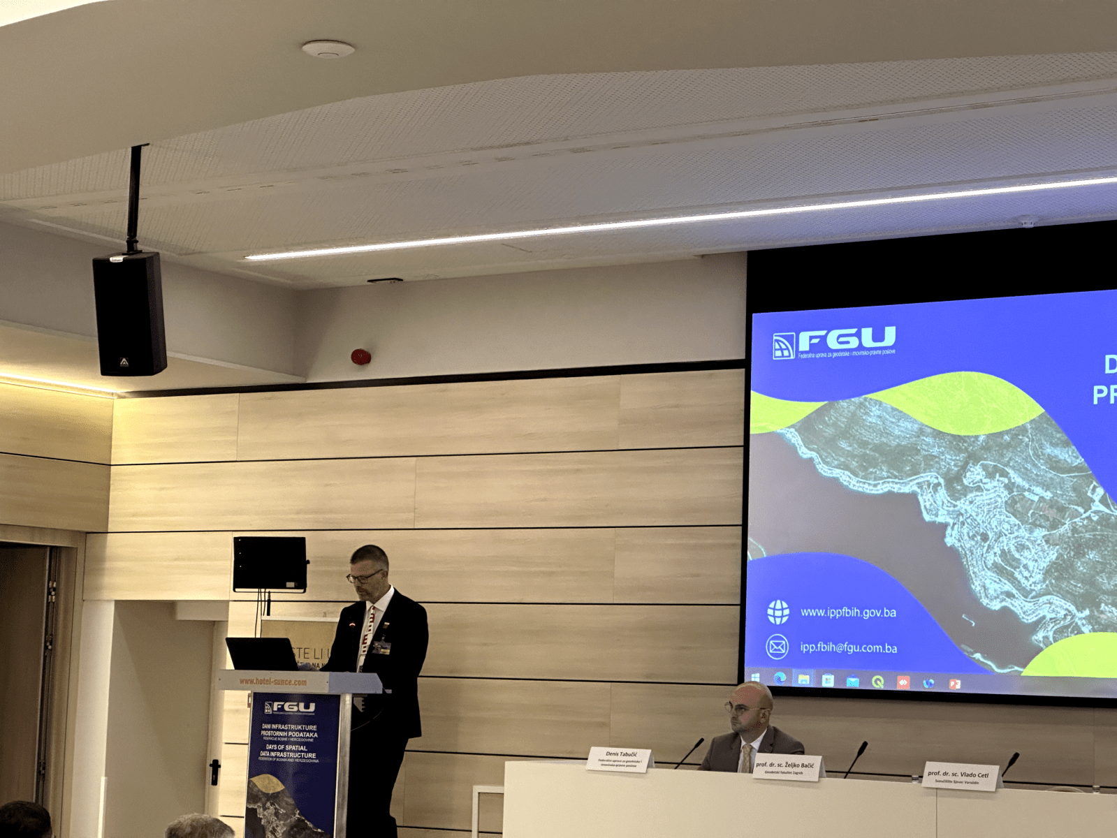
An interesting and professional Conference program was organized for the participants, which was divided into two working days, organized into 4 sessions, and the 5th session was in the form of a panel discussion on the topic “Spatial data infrastructure perspective: Digital transformation and ecological sustainability”. When it comes to opening speeches, the Chairman of the Council for Spatial Data Infrastructure and the Director of the Federal Geodetic Administration, Mr. Željko Obradović, addressed the attendees, as well as representative of the Swedish Development Agency, Mr. Nedim Bukvić, and the Federal Minister of Spatial Planning, Mr. Željko Nedić.
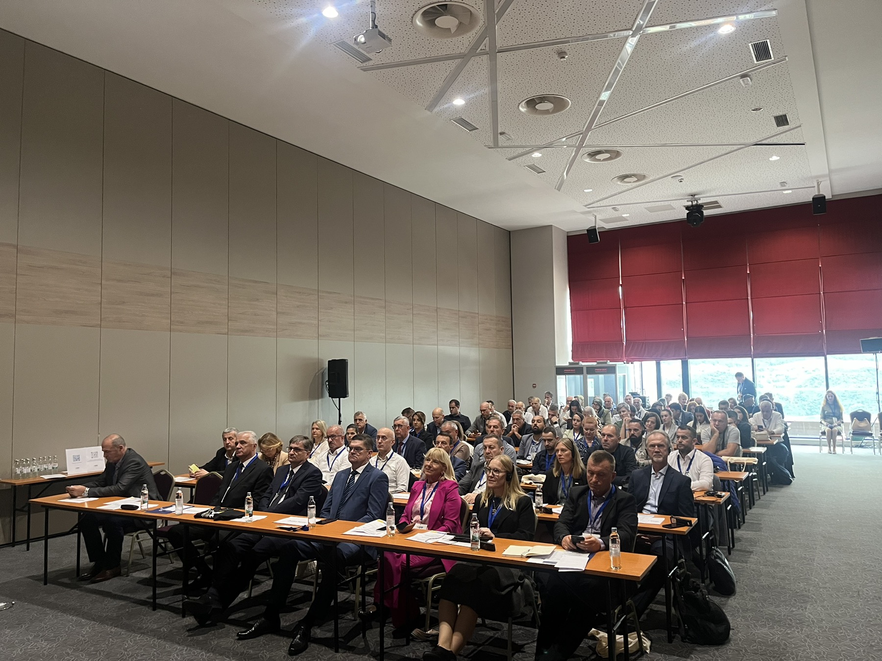
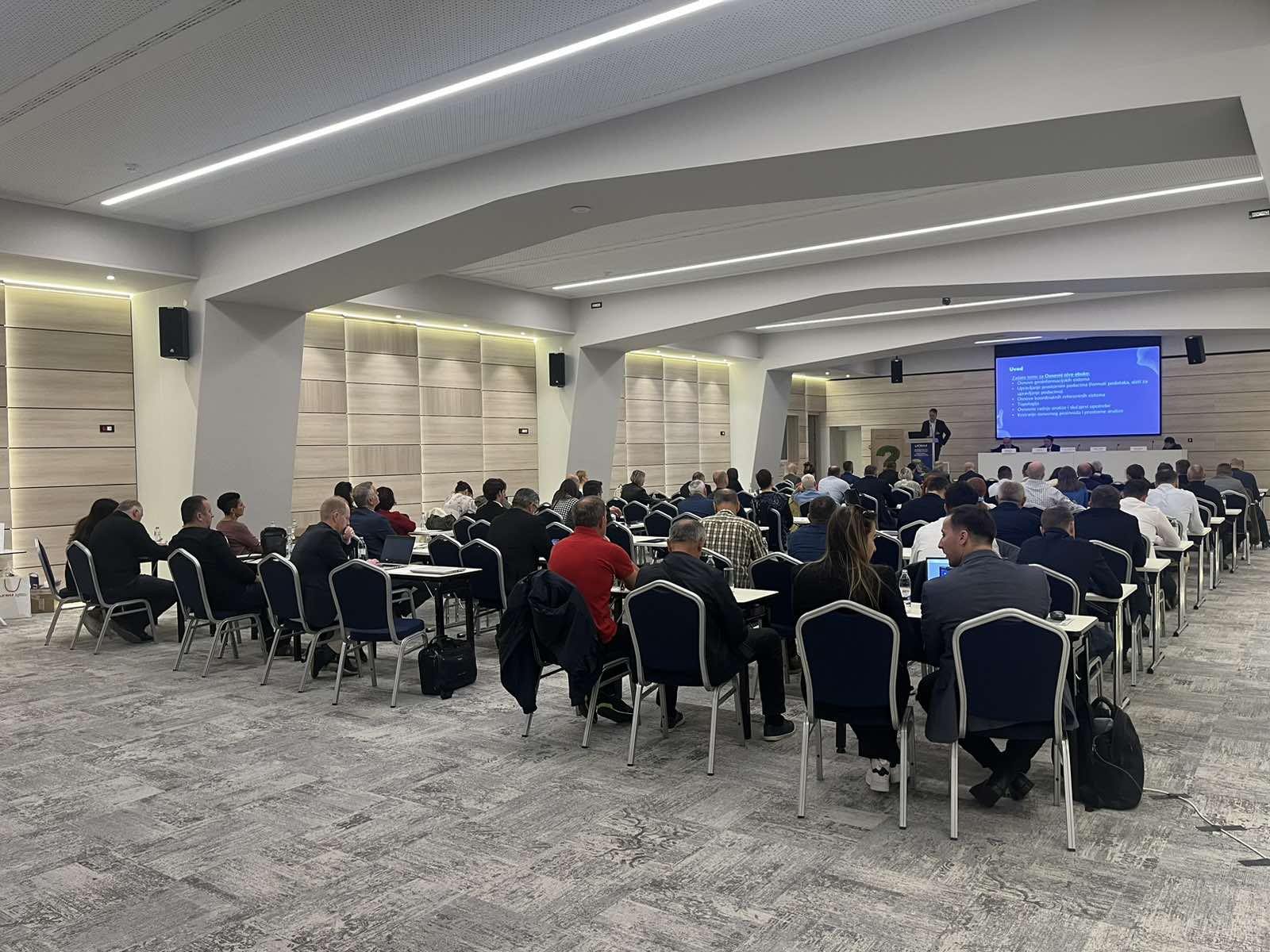
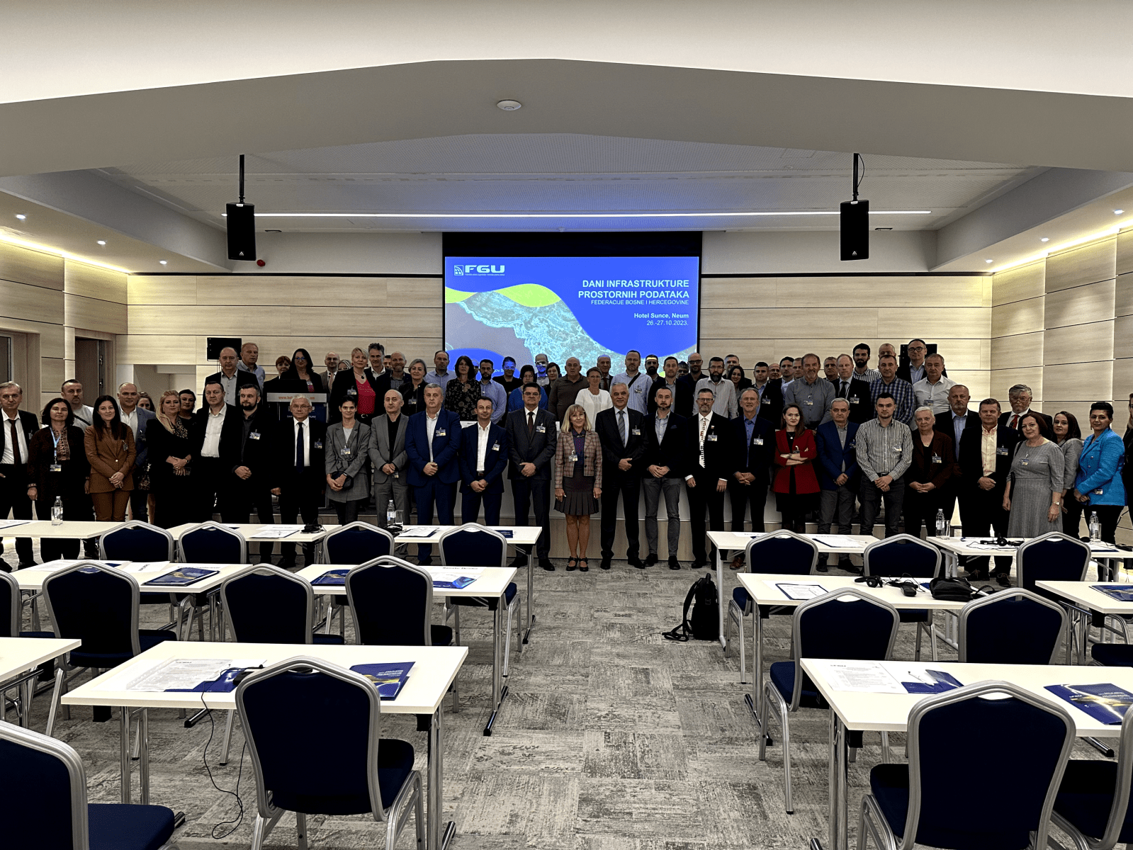
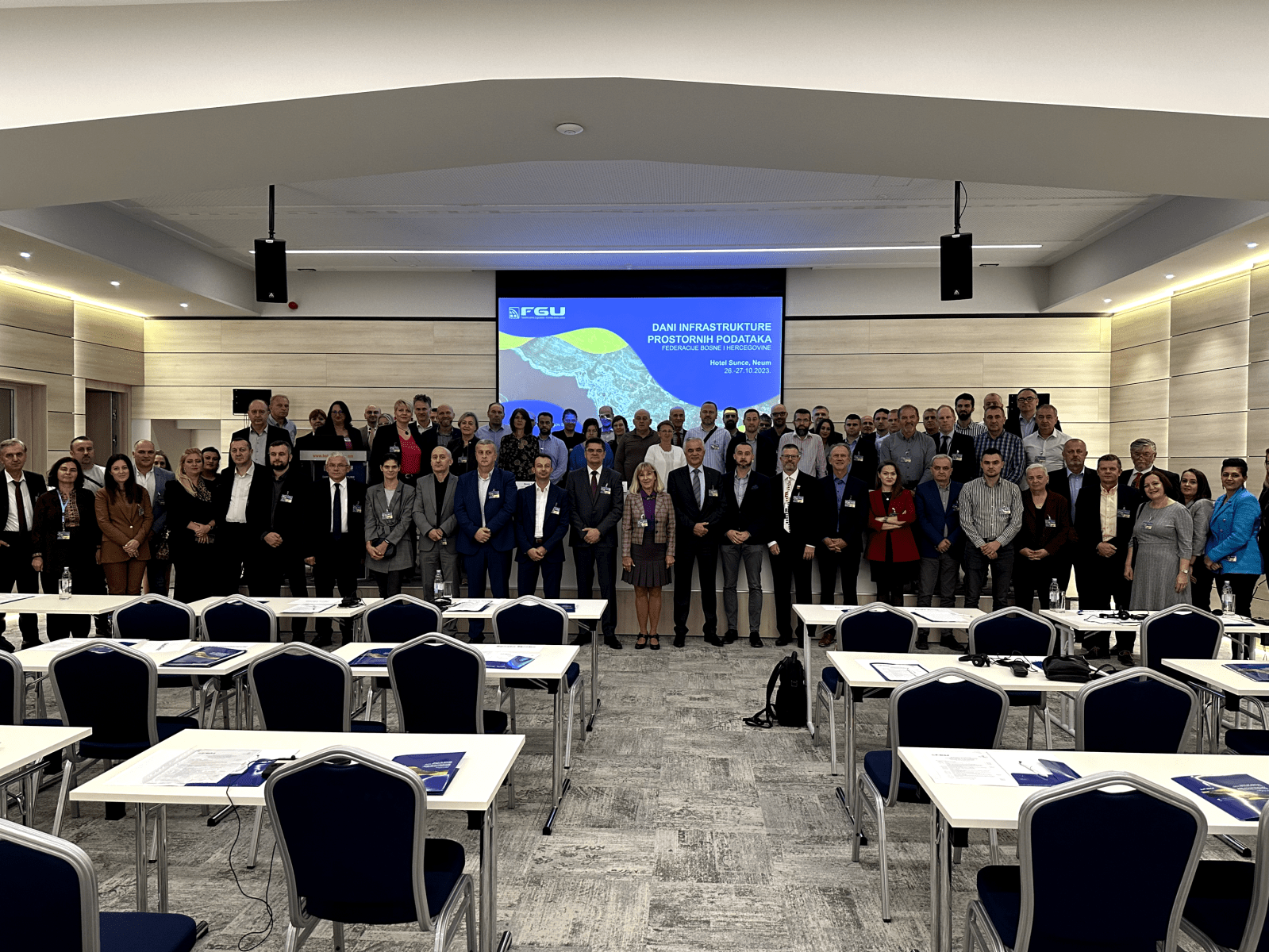
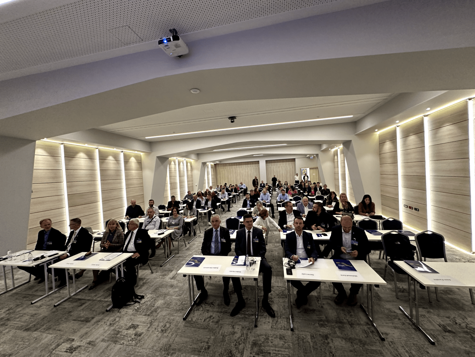
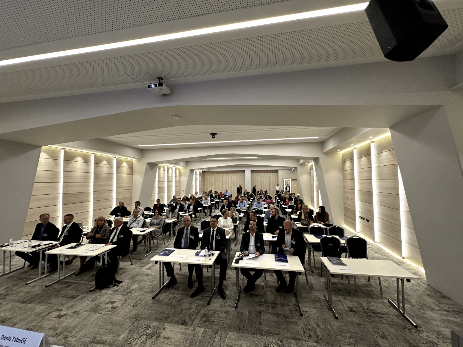
This year’s Conference was attended by around 100 participants from 58 different institutions, domestic and international, academic institutions and the private sector.
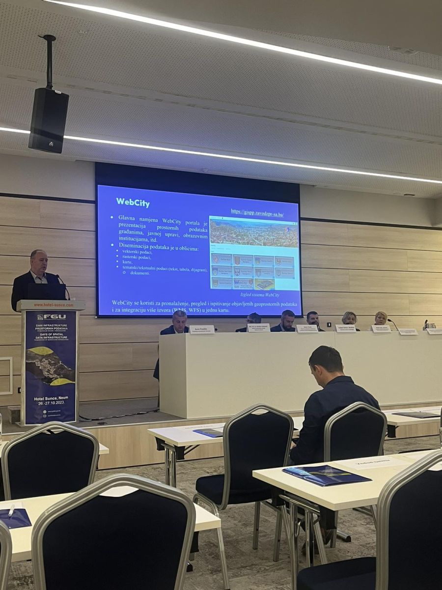
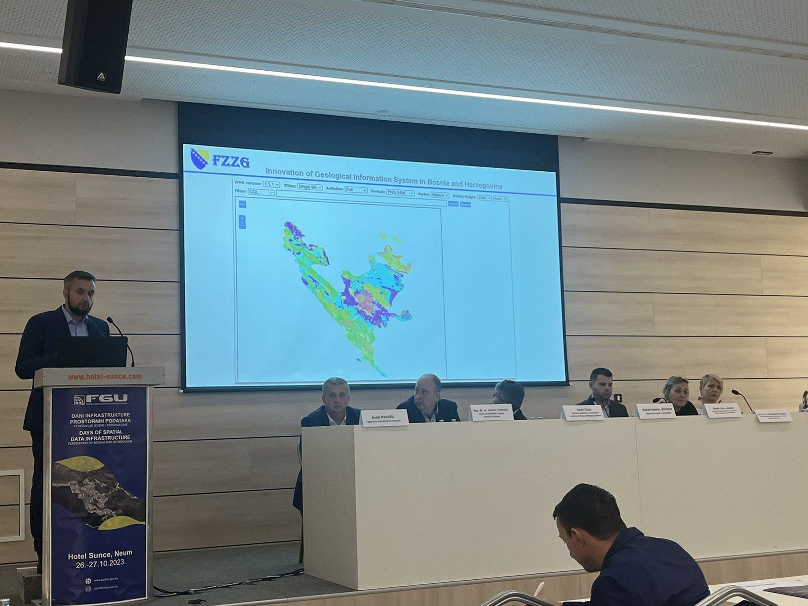
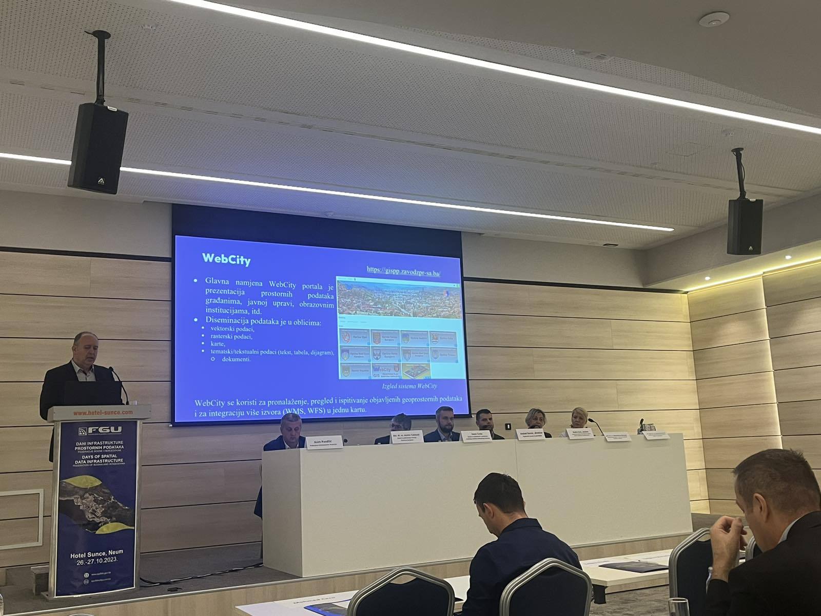
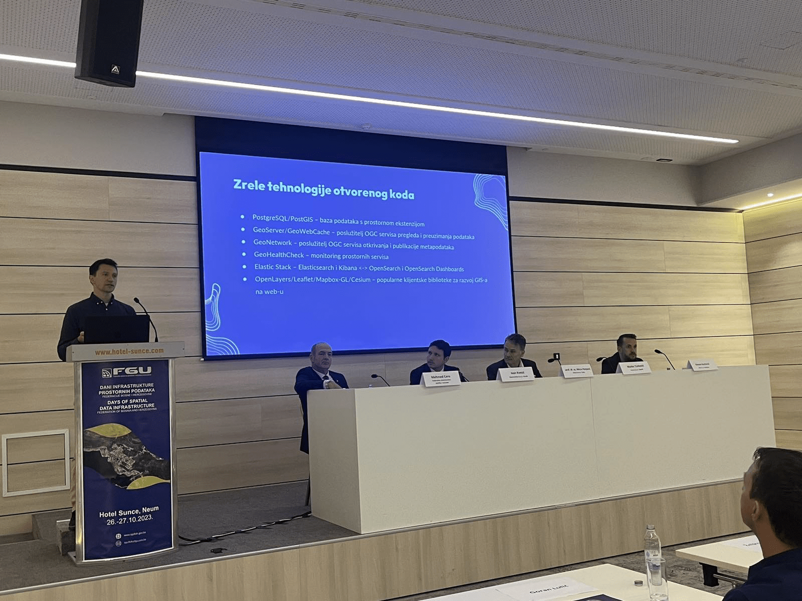
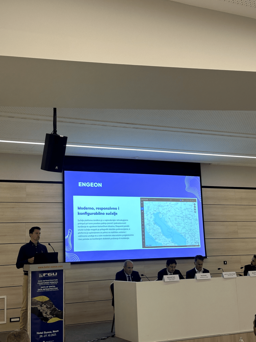
The main goal of the Spatial data infrastructure is to create the prerequisites to collect all spatial data in one place, describe it with metadata, inventory it and make it available. The capacity building, education and spreading of awareness are essential activities when it comes to Spatial data infrastructure, and the Conference represents one aspect of their realization.
Connecting different information that is spatially defined (georeferenced), enables users to carry out complex searches and analyses and connect phenomena in space, the prerequisites for modern management of space and spatial resources are realized.
Below we present conclusions from this year’s Conference, while the picture gallery and presentation repository will be published in the coming days.
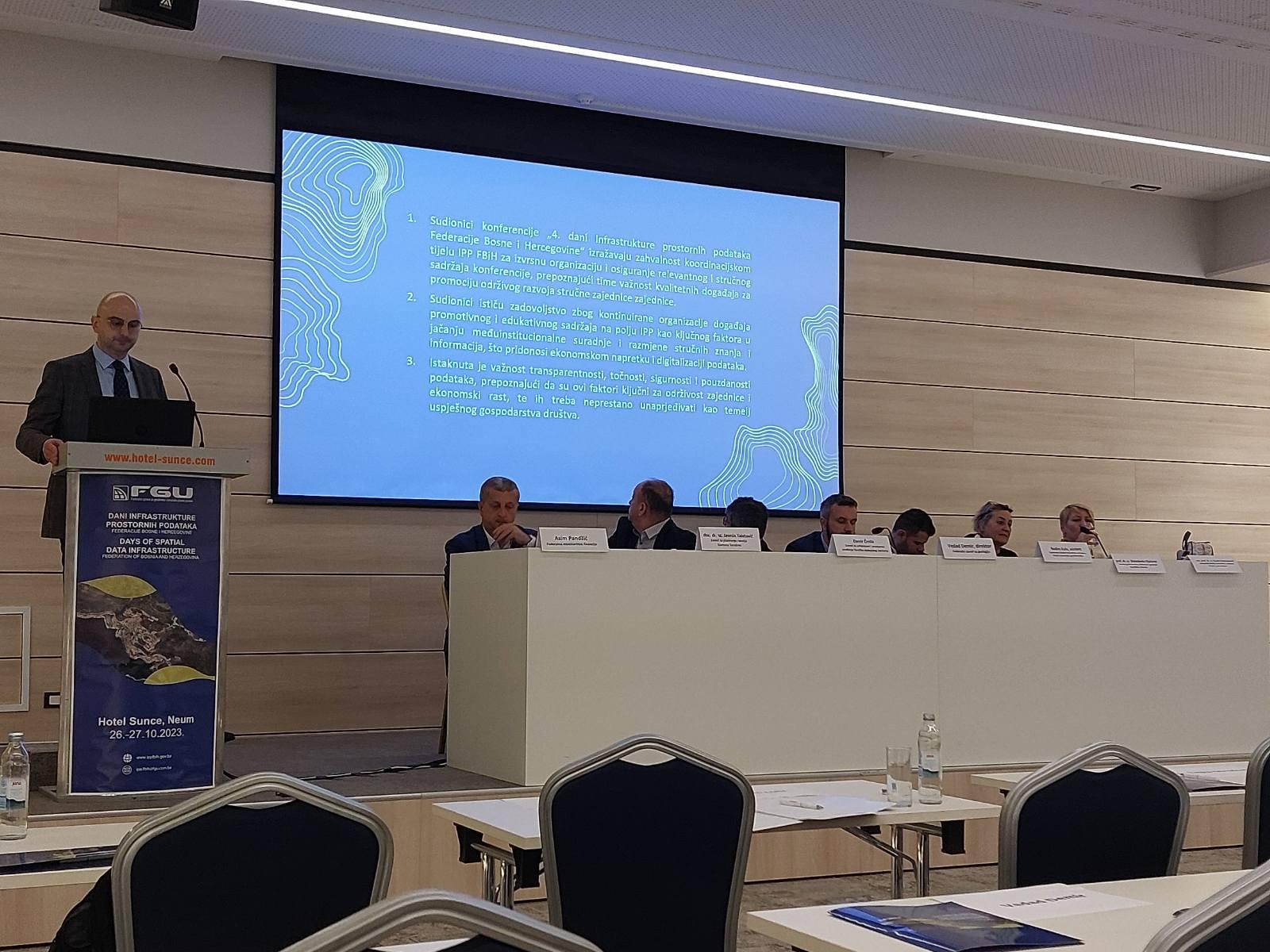
Conclusions from the conference:
- The participants of the “5th Spatial Data Infrastructure Days of the Federation of Bosnia and Herzegovina” express their gratitude to the SDI coordination body for the excellent organization and provision of relevant and professional conference content, thereby recognizing the importance of quality events for the promotion of the sustainable development of the professional community.
- The participants express their satisfaction with the continuous organization of events with promotional and educational content in the field of Spatial Data Infrastructure for the purpose of strengthening inter-institutional cooperation and exchange of professional knowledge and information.
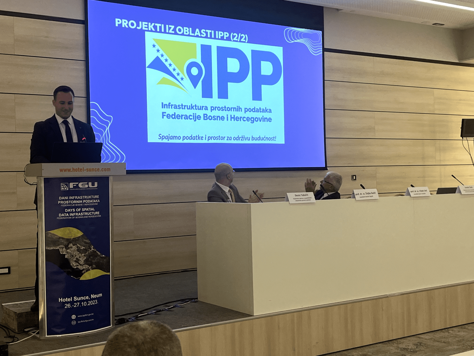
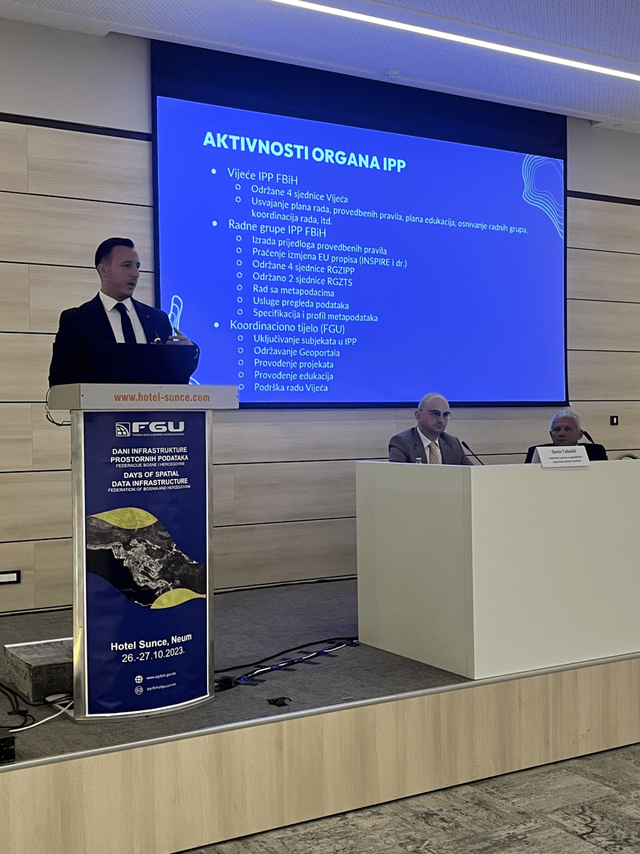
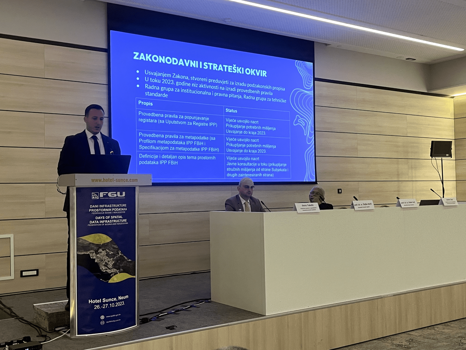
- Through the activities of the SDI FBIH Coordination Body and entities, a significant progress has been made in the development of the Spatial data infrastructure. A legal framework was established, spatial management tools were modernized, and the availability of spatial data and metadata was significantly improved. A special focus was placed on the education of professional staff and raising the capacity of institutions through project activities, which contributed to more efficient use of spatial data in the public and private sector, and support for sustainable development and environmental sustainability.
- The implementation of the World Bank’s GIVE project: Participants recognize the importance of the planned implementation of the GIVE project in strengthening the Spatial data infrastructure. This project will provide key support to institutions and organizations in reaching the required level of involvement in the SDI FBIH activities, especially through strengthening their ICT equipment, equipped with modern tools and knowledge necessary for effective participation in this process. All institutions are invited to actively participate in the project implementation, which is led and coordinated by the Federal Geodetic Administration.
- Transparency, accuracy and reliability of spatial data are recognized as basic factors for sustainable development and environmental protection. Precise data enables responsible planning and long-term preservation of natural resources.
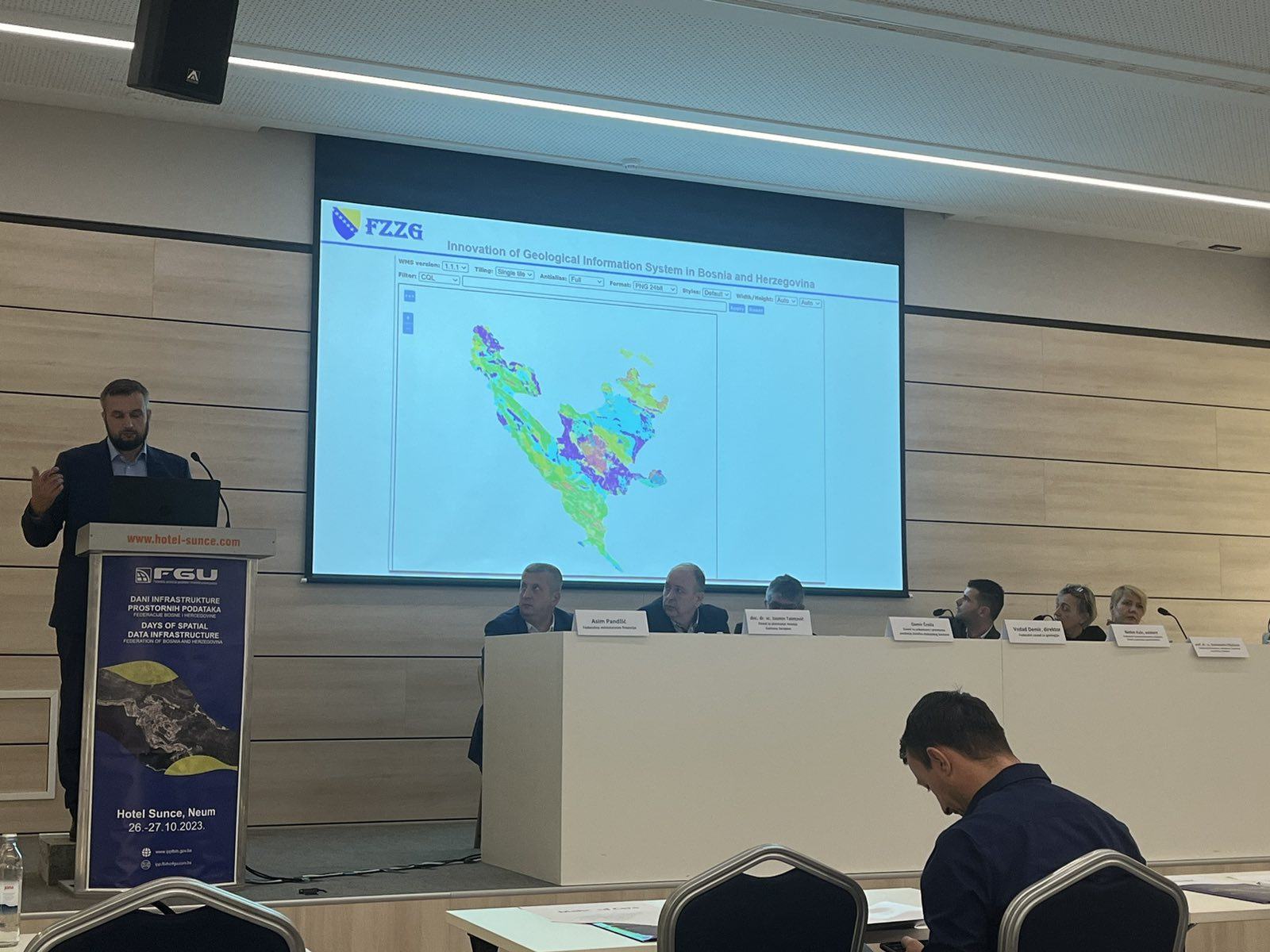
- Successful examples of the spatial data use show the importance of integrating different technologies for effective environmental monitoring and management. The exchange of knowledge and experience between institutions and other SDI entities is important for strengthening the capacity for using spatial data in environmental protection. Examples from practice confirm that spatial data play a key role in developing strategies for sustainable resource management and resilience to climate change.
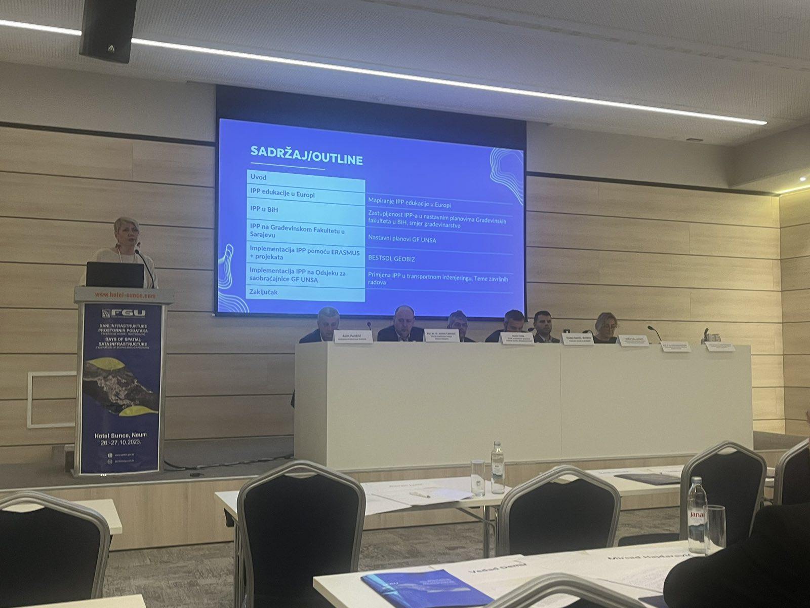
- The role of the academic sector: It was concluded that the academic sector has a key role in the development of the Spatial data infrastructure. Research and innovation contribute to the improvement of technologies and methodologies, while through the education of new personnel they help keeping the relevance of the SDI in the era of rapid technological changes. It is recommended to strengthen the cooperation between academic institutions and the public sector in the development of new solutions.
- The participants emphasized the importance of involving the private sector in the SDI, in order to ensure the commercialization of innovations and technologies related to spatial data. Intensification of cooperation is recommended in order to take advantage of the opportunities provided by spatial data in various sectors, including tourism, energy and economy.
- During the conference, the participants emphasized the need of continuously raising awareness of all participants in this process and raise the level of information exchange, knowledge transfer and the possibility of achieving new levels of activity, thus encouraging sustainable development of the community.
- The participants expressed their gratitude to the international donors for their previous support for the establishment and development of the Spatial Data Infrastructure, emphasizing the further need for cooperation with donors and creditors in designing activities aimed to develop the Spatial data infrastructure in the Federation of BiH as a key participant in sustainable development.