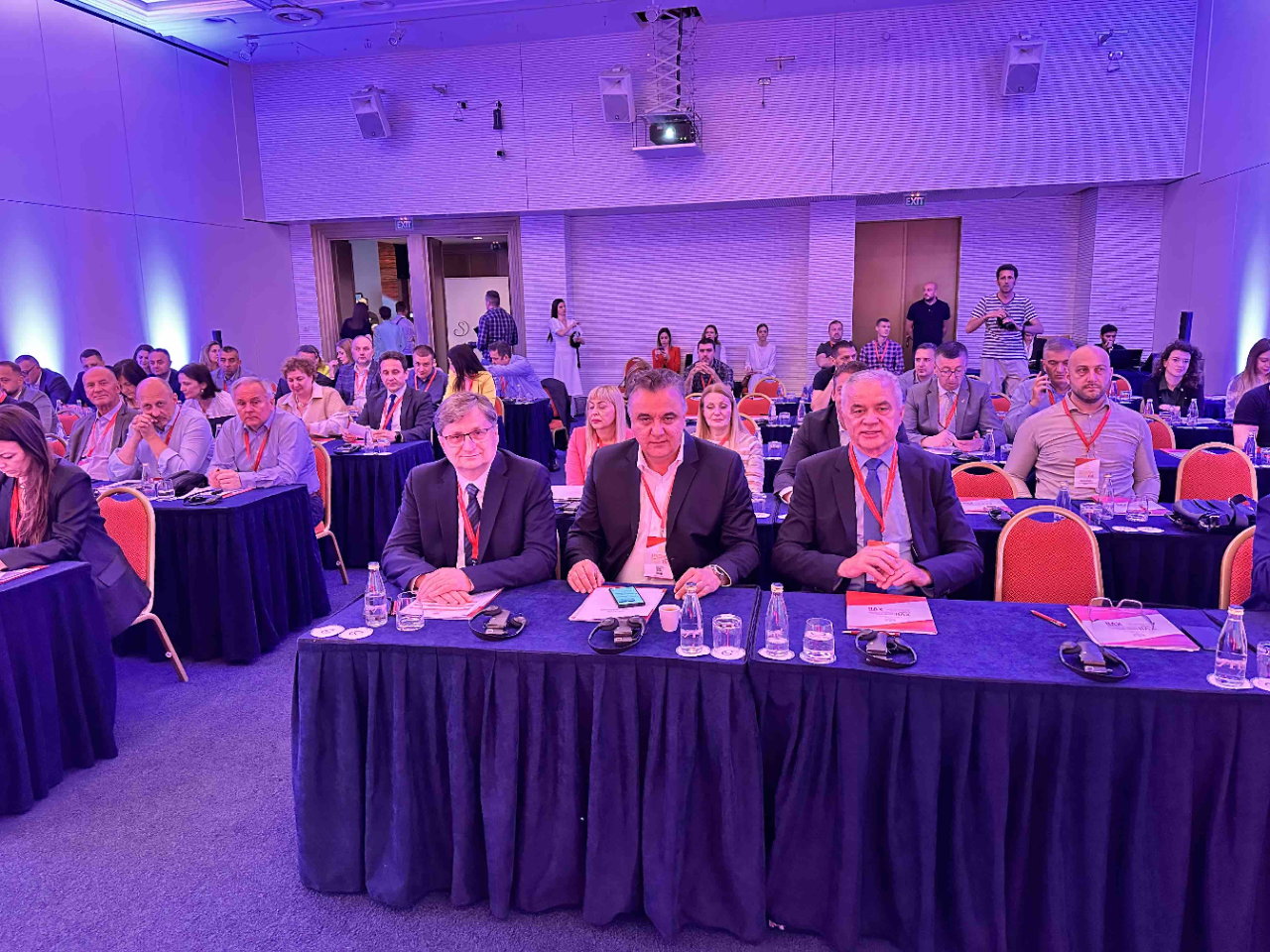
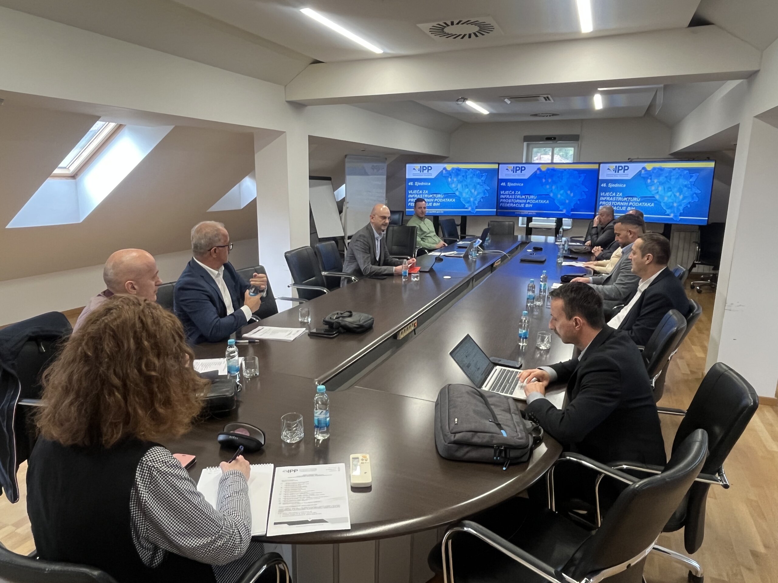
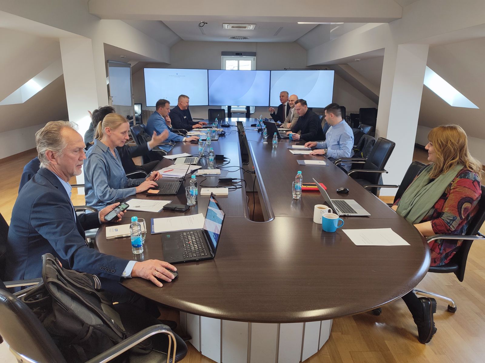
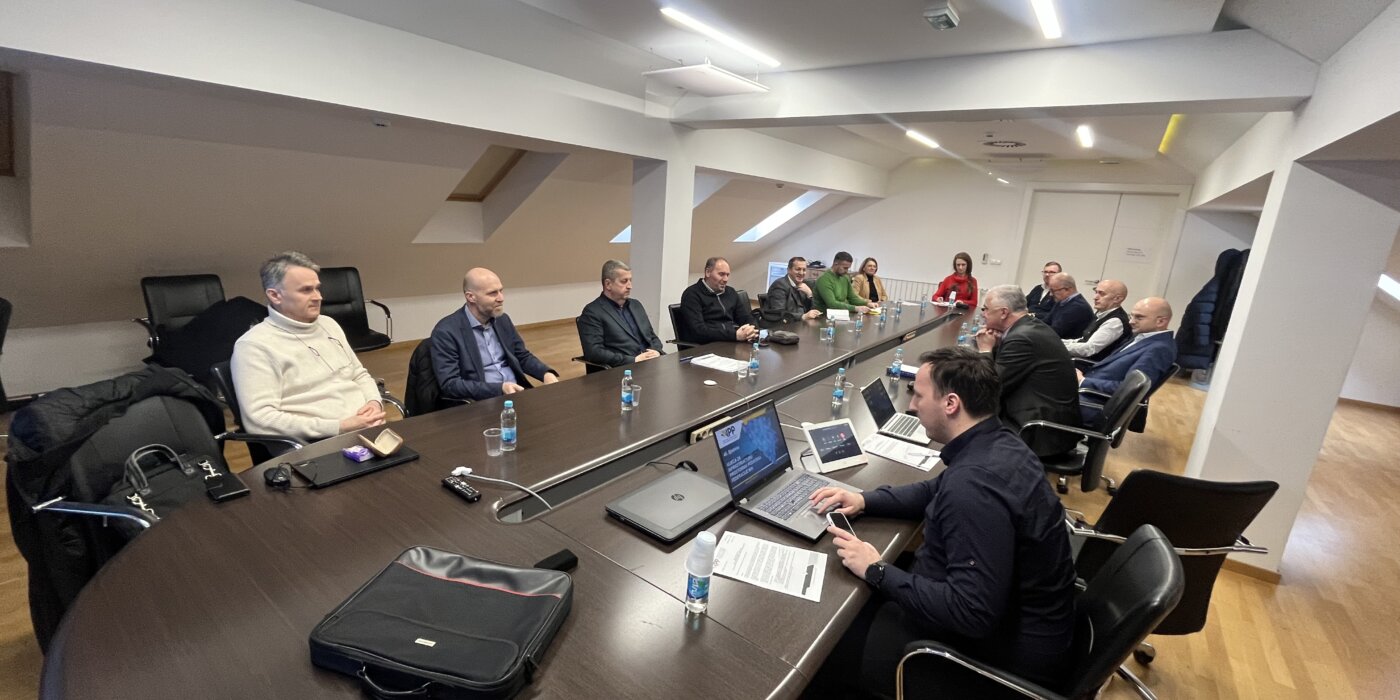
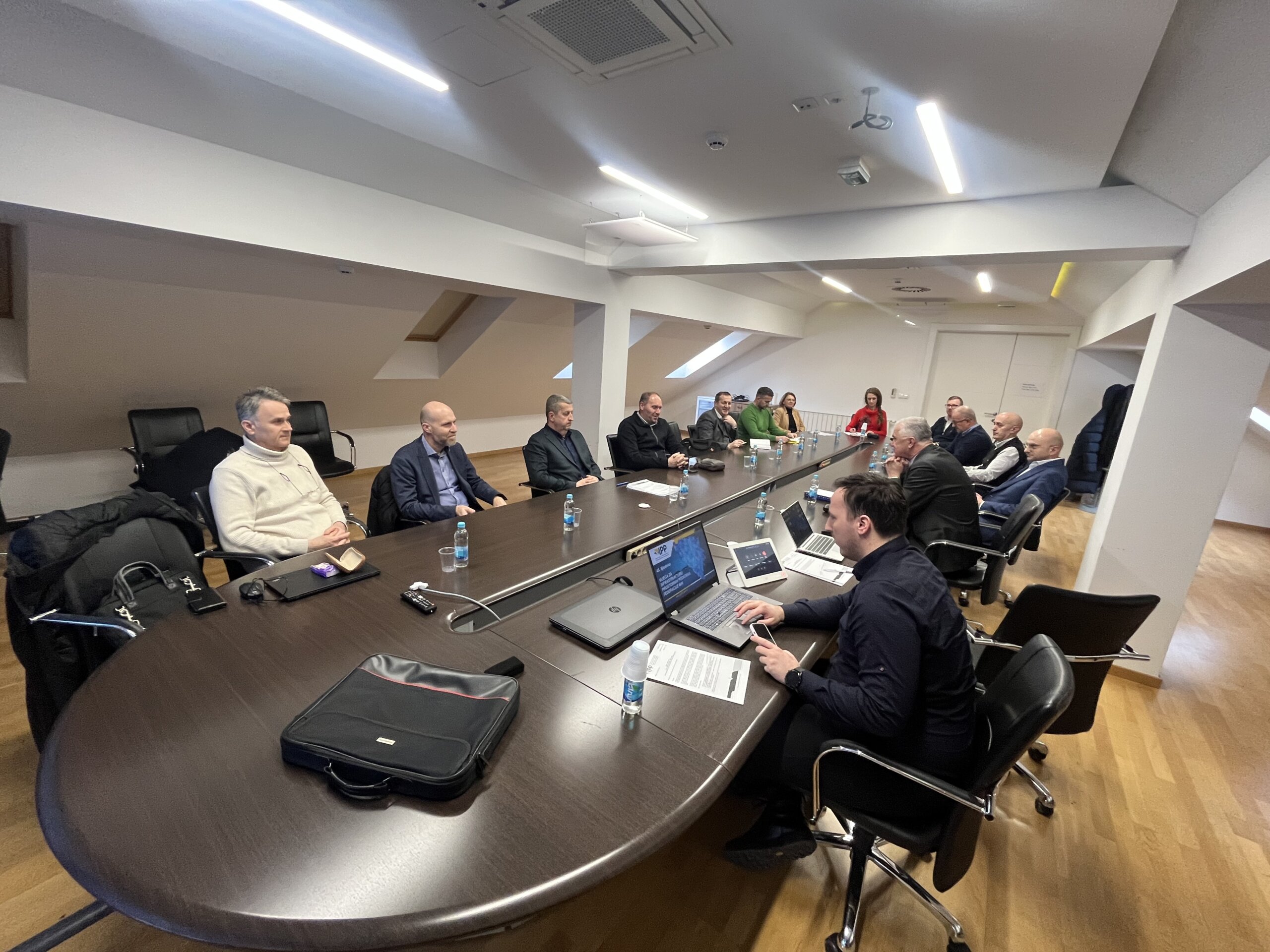
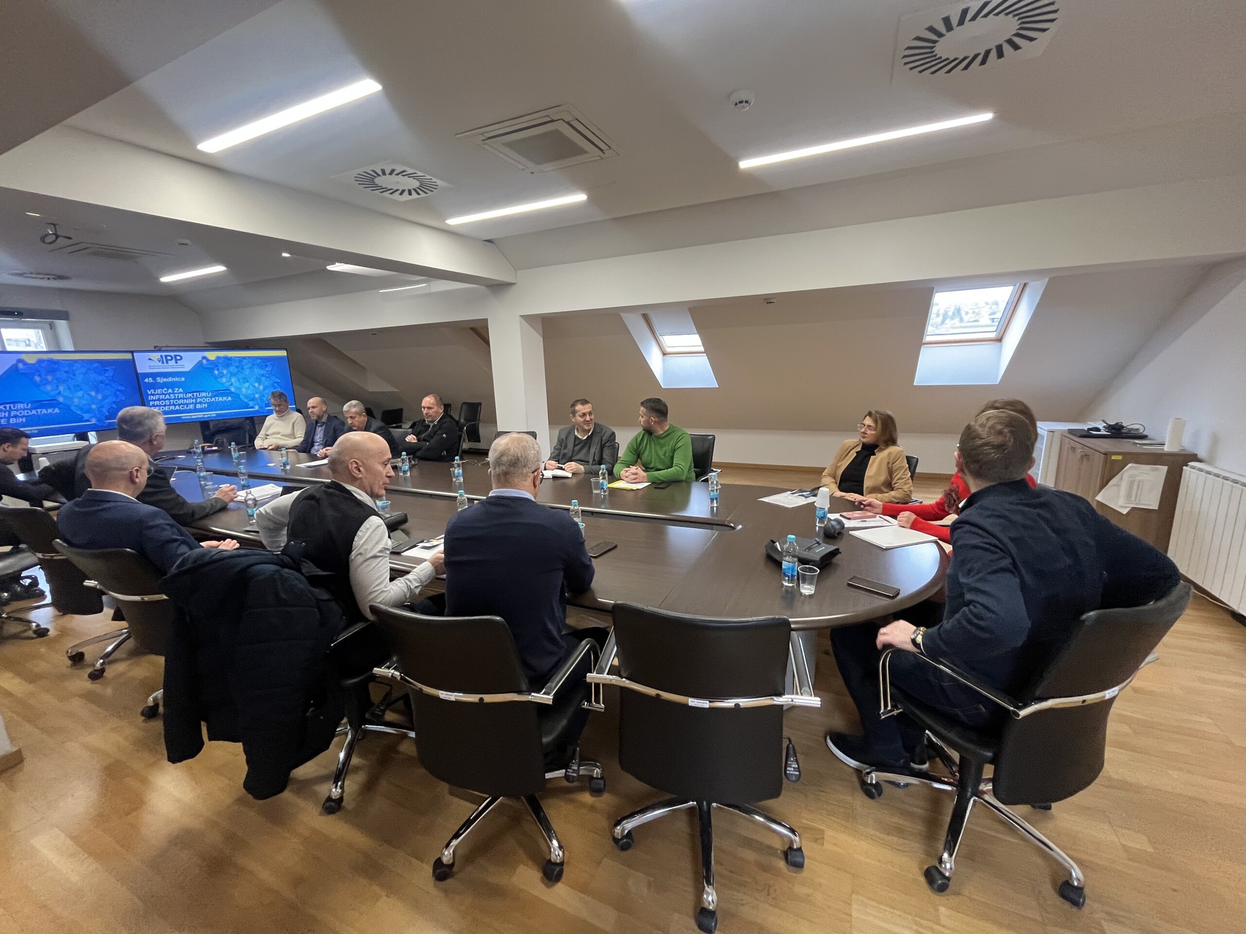
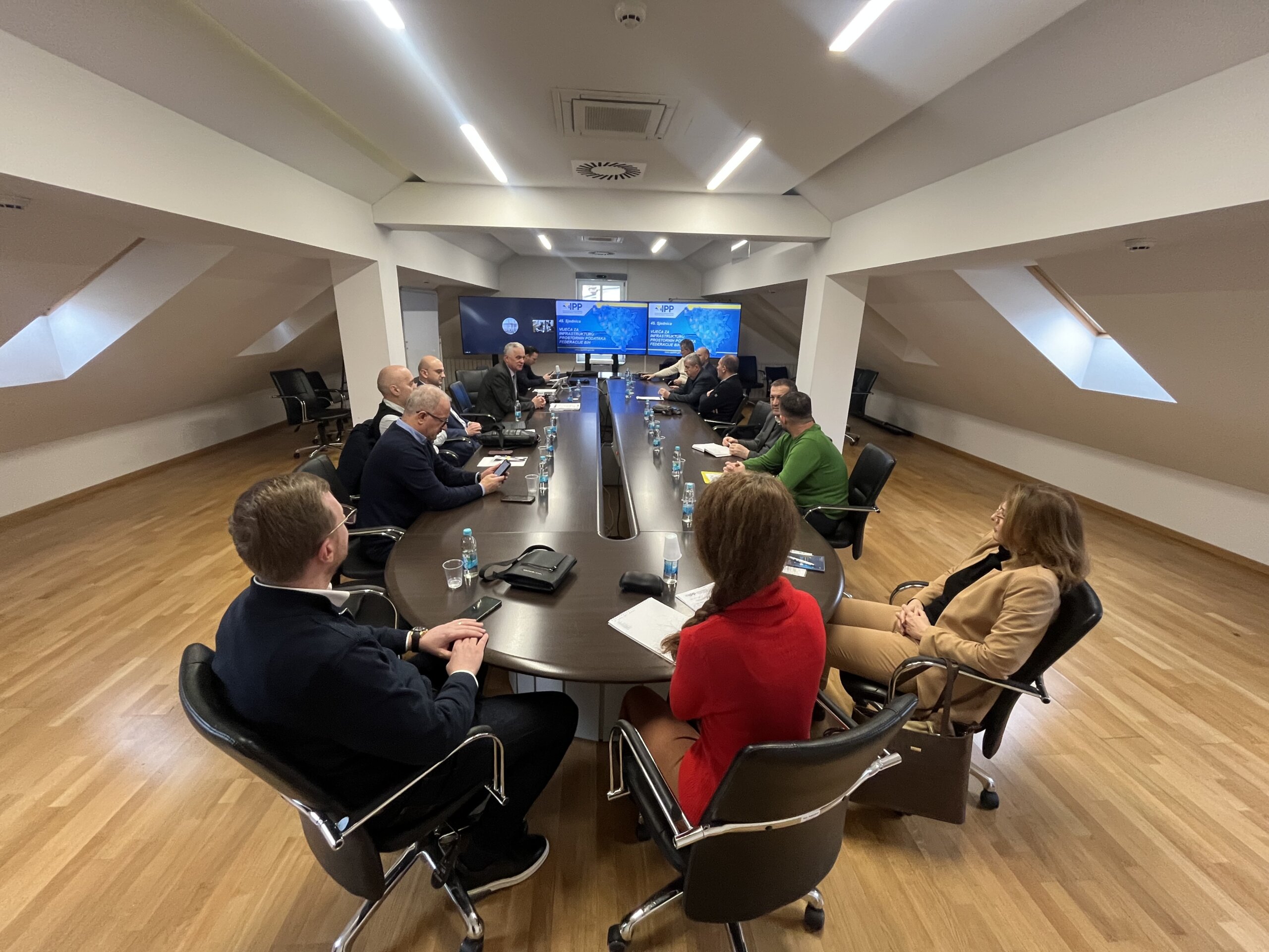
The 16th Regional Conference on Cadastre and Spatial Data Infrastructure

The 16th Regional Conference on Cadastre and Spatial Data Infrastructure

The 16th Regional Conference on Cadastre and Spatial Data Infrastructure 2024 was held in Bosnia and Herzegovina, Laktaši from June 24 to June 26, in the organization of the Republic Authority for Geodetic and Real Property Affairs of the Republic of Srpska.

The Conference gathered a large number of managers and representatives of the cadastral agencies of the Western Balkan region, as well as representatives of the World Bank, the Swedish Mapping, Cadastral and Land Registration Authority- Lantmäteriet, The Netherlands’ Cadastre, Land Registry and Mapping Agency- Kadaster, Eurogeographics and others.

The topics of this year’s conference focused on the following areas:

  1. Cadastre and geodetic infrastructure
  2. Spatial Data Infrastructure
  3. Mass valuation

The Federal Administration for Geodetic and Real Property Affairs actively participated in the work for all the mentioned areas, and Mrs. Jelena Zelić, Mr. Jasmin Ćatić and Mr. Denis Tabučić, during the conference session, were held lectures on the general status of activities and progress during 2024.

At this year’s conference, attention was paid to the implementation of the Memorandum of Understanding and Cooperation in the field of Cadastre, Topographic Surveying and Cartography, Geodetic Networks and Spatial Data Infrastructure signed in 2019, and the directors of cadastral and cartographic institutions held discussions related to the possibilities of organizing a regional project for capacity building of the institutions.

At the end, appropriate conclusions were adopted and the next Regional Conference will be held in Montenegro.

On behalf of the FGA at the Conference attended director Mr. Željko Obradović with the assistant and officials mentioned above.

Workshop on the topic “SDI Registers and Data Entry” held

Workshop on the topic “SDI Registers and Data Entry” held

On June 24, 2024, a workshop on the topic ” SDI Registers and Data Entry” was held in Sarajevo. Ten representatives from the following institutions attended the workshop:

  • Federal Hydrometeorological Institute
  • Federal Ministry of Education and Science
  • Federal Ministry of Trade
  • Cantonal Institute for Urbanism, Spatial Planning and Protection of the Cultural and Historical Heritage of the Central Bosnia Canton
  • Ministry of Spatial Planning, Construction, and Environmental Protection of the West Herzegovina Canton
  • Administration for Geodetic and Real Property Affairs of the Central Bosnia Canton
  • Anticorruption and Quality Control Office of the Sarajevo Canton

During the workshop, participants were introduced to the Organizational Model of the Spatial Data Infrastructure of the Federation of Bosnia and Herzegovina (SDI FBiH) and the SDI FBiH Registers. The application solution for the SDI Registers and the method for entering data into the SDI Registers were presented. Following the introduction, participants, with the help of the organizers, entered basic information about the institutions accessing SDI FBiH as SDI FBiH stakeholders.

At the end of the workshop, participants were also given a brief introduction to the concept of the Metadata Catalogue and the entry of information on spatial data sources into the Spatial Data Source Register of SDI FBiH as well as the Metadata Catalogue.

The inclusion of the aforementioned institutions in SDI FBiH represents an important step towards enhancing the metadata database and ensures that stakeholders included in SDI FBiH are equipped with the knowledge and tools necessary for consistent management and updating of spatial data and metadata.

The Federal Administration for Geodetic and Real Property Affairs remains committed to providing support to all SDI FBiH stakeholders and continuously improving the quality and availability of spatial data.

Workshop Held on the Topic: Entry and Update of Metadata

Workshop Held on the Topic: Entry and Update of Metadata

On June 12, 2024, a workshop on the topic “Entry and Update of Metadata” was held at the premises of the Federal Administration for Geodetic and Real Property Affairs. The workshop was attended by nine representatives of the stakeholders of the Spatial Data Infrastructure of the Federation of Bosnia and Herzegovina (SDI FBiH). Representatives attended on behalf of the following stakeholders:

  • Federal Hydrometeorological Institute
  • Federal Institute for Geology
  • Fund for Environmental Protection of the Federation of BiH
  • Agency for the Sava River Basin
  • Federal Ministry of Physical Planning
  • Roads of the Federation of Bosnia and Herzegovina, Sarajevo
  • Public Company Motorways of the Federation of Bosnia and Herzegovina Ltd. Mostar

During the workshop, participants were introduced to the new version of the Metadata Catalogue, the implementation rules for metadata, and the new SDI FBiH metadata profile. Additionally, a demonstration of data entry into the Metadata Catalogue was conducted, providing practical insight into the process crucial for maintaining the accuracy and up-to-date of spatial data.

This workshop represents a significant step towards improving the metadata database and ensures that all SDI FBiH stakeholders are adequately equipped with the knowledge and tools necessary for consistent management and updating of spatial data and metadata. Following the workshop, all necessary materials will be provided to the participants to facilitate the continued active entry of metadata for spatial data sources managed by the relevant institutions, all in accordance with the SDI FBiH Law.

In line with the Work Plan for 2024 in the field of SDI FBiH, other thematic workshops will be organized in the coming period, thereby continuing the ongoing education and enhancement of the spatial data, metadata, and network services management system.

The Federal Administration for Geodetic and Property Affairs remains committed to providing support to all SDI FBiH stakeholders and continuously improving the quality and accessibility of spatial data.

INITIATIVE “GREEN DATA FOR ALL” – Information on the intention to revise the EU INSPIRE Directive

INITIATIVE "GREEN DATA FOR ALL" - Information on the intention to revise the EU INSPIRE Directive

The European Data Strategy has announced the development of a Common European Data Space for the Green Deal, aiming to harness the vast potential of data in supporting the Green Deal’s priority actions related to climate change, circular economy, zero pollution ambition, biodiversity, deforestation, and ensuring compliance. 

This includes the launch of the ‘GreenData4All’ initiative, which consists of assessing and potentially revising the Directive establishing an infrastructure for spatial information in the EU (INSPIRE Directive 2007/2/EC), along with the Directive on access to environmental information (Directive 2003/4/EC). GreenData4All plans to update the rules on environmental spatial data present an opportunity for better governance and access to geospatial information within the European Union (EU). The aim of the initiative would be to modernize both directives to align them with contemporary technology; promote active dissemination and sharing of data held by governments and the private sector in support of environmental legislation and the goals of the European Green Deal; and define and implement interoperable building blocks for sharing public data in the Green Deal data space. 

In its work program for 2022, adopted on October 19, 2021, the European Commission announced that, as part of the European Green Deal, it would propose a revision of both directives, following their assessment in 2021. The legislative proposal, accompanied by an impact assessment, was originally expected in the fourth quarter of 2022. The European Commission issued a call for proposals/comments on February 26, 2024, which was open for feedback until March 25, 2024. 

The “Green Data for All” initiative (GreenDeal4All) will contribute to the European green and digital transformation by updating EU rules on geospatial environmental data and public access to environmental information. Its purposes are: 

  • Enable greater data exchange between the public and private sectors and with the public 
  • Enable all the benefits of data sharing for data-driven innovation and evidence-based decision-making. 

Compared to the INSPIRE Directive, the “Green Data for All” initiative aims to make the INSPIRE Directive an effective and cost-efficient instrument for sharing environmental data in support of environmental policy development and the transition to a more sustainable economy, requiring additional regulations of the INSPIRE Directive. 

This will be achieved by simplifying and modernizing technical provisions for data harmonization, web services – including extensive use of application programming interfaces (APIs) – and metadata, aligning data characteristics and rules on data sharing and reuse with relevant horizontal legislation, considering flexible solutions for setting data characteristics and standards for data sharing through flexible coordination mechanisms to make them future-proof and technologically neutral, but also at other levels such as covered data (distinguishing environmental data and other data, using other non-spatial environmental data through linking attributes to spatial data or as separate data sets) and organizational/managerial structure, among others. 

For this purpose, EuroGeographics, a nonprofit association for national mapping, cadastral, and land registry authorities in Europe (NMCAs), called on all to provide their comments and suggestions. One of the solutions considered in this Call is to redirect the scope of the INSPIRE Directive to environmental data, while non-environmental data (cadastral parcels and agricultural parcels, buildings, road networks, etc.) would be outside the scope – covered by other sectoral tools. Everyone welcomed the modernization of the INSPIRE Directive’s rules but warned that removing location data from its scope could lead to weak or no governance in the geospatial sector. It was added that the GreenData4All initiative should include a specific chapter on geospatial data and their role in the Green Deal data space, noting that the involvement of NMCAs is crucial to overcoming shortcomings in existing governance. 

You can find other opinions at the following link: 

https://ec.europa.eu/info/law/better-regulation/have-your-say/initiatives/13170-GreenData4All-updated-rules-on-geospatial-environmental-data-and-access-to-environmental-information/feedback_en?p_id=32551842 

The legislative proposal is now planned for the first quarter of 2025. 

“SDI Days 2024” Conference held in Zagreb

THE CONFERENCE “SDI DAYS 2024” HELD IN ZAGREB

The 14th Conference “Spatial Data Infrastructure Days” was held in the organization of the State Geodetic Administration of the Republic of Croatia on May 28, 2024. This year’s Conference was held in the National and University Library in Zagreb. The conference was attended, among others, by representatives of the countries of the region, who presented current events in the field of spatial data infrastructure in their countries.

On behalf of the Federal Geodetic Administration the conference was attended by Mr. Jasmin Ćatić, senior expert associate for Geoportal SDI FBIH, and held a presentation on the topic “Current affairs in the field of the Spatial Data Infrastructure in the Federation of BiH”.

Through the presentations held in all sessions as well as the accompanying panel discussion, achievements in the field of SDI, future development, plans, as well as the SDI application in current initiatives and trends in the field of spatial data management and land administration in general, were highlighted.

Overview of access to data and services provided by SDI FBiH

Overview of access to data and services provided by SDI FBiH

The Federal Administration for Geodetic and Real Property Affairs has been actively working with the SDI FBiH stakeholders on harmonizing spatial data according to the technical specifications of the INSPIRE Directive. Through the ETL procedures project, which began in 2023 and concluded at the beginning of 2024, harmonization was achieved for 12 sources of spatial data under the jurisdiction of 5 SDI FBiH stakeholders.

Harmonization of spatial data involves several phases. First, there is the phase of analyzing the initial data state, data models, and formats, with the main goal being to obtain information about the current data status and provide recommendations for the next phase. The next phase is data modeling, while the final phase involves defining, creating, and executing ETL procedures. After completing all three phases, the final delivery includes an INSPIRE-compliant GML for each data source, an ETL scheme for updating purposes, and accompanying documentation (reports, analyses, models, etc.). Following this, web services are created to facilitate data viewing, and metadata is generated for the treated spatial data sources if not previously created.

The following institutions participated in the latest project with their respective spatial data sources:

  1. Ministry of Spatial Planning and Environmental Protection of Tuzla Canton
    1. Source: Spatial Planning Documentation (INSPIRE theme: Land Use)
      1. Land use
      2. Planned land use
    2. Source: Spatial Planning Documentation (INSPIRE theme: Protected Sites)
      1. Modrac
      2. Konjuh
  2. Institute for Urbanism and Spatial Planning of Zenica-Doboj Canton
    1. Source: Spatial Planning Documentation (INSPIRE theme: Land Use)
      1. Planned land use – Visoko
  3. Federal Institute for Agropedology
    1. Source: Basic Pedological Map of FBiH (INSPIRE theme: Soil)
  4. Planning Institute of Sarajevo Canton
    1. Source: Spatial Planning Documentation (INSPIRE theme: Land Use)
      1. Hadžići
      2. Bijambare
      3. Spatial Plan of Sarajevo Canton
      4. Urban Plan of Sarajevo Canton
      5. Skakavac
  5. Federal Institute for Geology
    1. Source: Geological Mapping Documentation (INSPIRE theme: Geology)
      1. Lithostratigraphic units in FBiH

The Federal Administration has also developed ETL procedure projects for data sources under its jurisdiction. To date, this has been done for all data from the following themes:

  1. Administrative Units
  2. Geographical Names
  3. Coordinate Reference Systems
    1. Gravimetric Reference Framework
    2. Spatial Reference Framework
    3. Height Reference Framework
  4. Geographic Grid Systems
    1. Division into cadastral plan sheets
    2. Division into topographic map sheets
  5. Addresses
  6. Orthophoto Images
  7. Elevations
    1. Terrain Models
    2. Contour Lines

The Federal Administration will review, enhance, and update all ETL procedures in the upcoming period and create additional ETL procedures for the remaining data. The main goal is a repository of INSPIRE-compliant GML records and accompanying services for all data under the jurisdiction of FGU.

Additionally, as a result of previously completed projects, ETL procedures have been developed for harmonizing the following data sets, which are available for viewing:

  1. Federal Institute for Statistics
    1. Spatial units for statistics
    2. Population distribution and demographics
  2. Federal Hydrometeorological Institute
    1. Meteorological-geographical features
      1. Average temperatures
      2. Average precipitation
    2. Environmental monitoring systems
      1. Observation stations
  3. Sava River Basin Agency
    1. Hydrography (Watercourses, Sub-basins)
  4. Adriatic Sea Basin Agency
    1. Hydrography (Watercourses, Sub-basins, Natural Lakes, Reservoirs)
  5. Environmental Protection Fund of FBiH
    1. Protected areas according to the Nature Protection Law
  6. Federal Ministry of Spatial Planning
    1. Protected areas (Highway Vc)
    2. Land use
  7. Federal Institute for Geology
    1. Basic Geological Map of FBiH

All available data is described with metadata, and over 300 metadata records have been entered for spatial data under the jurisdiction of all mentioned institutions. The entry of additional metadata into the SDI FBiH Metadata Catalog is ongoing.

Current statistics on the Geoportal Viewer are as follows:

Number of data layers

78

Number of covered INSPIRE themes

16

Number of stakeholders sharing data

12

You can access the Metadata Catalog via the URL: https://metapodaci.ippfbih.gov.ba.

For example, on the viewer, you can review data under the jurisdiction of the Federal Institute for Geology:

Basic Geological Map of the Federation of BiH

Additionally, you can find information about how to access the data, the responsible institutions, access conditions, data quality, temporal reference, and more (see the image below). All of this is available by clicking on the Metadata option (arrow in the image above).

Below are a few more examples of spatial data under the jurisdiction of various institutions, which you can view on the SDI Geoportal, and get additional information by consulting the Metadata Catalog.

Pedological Map of BiH
Land Use in Tuzla Canton
Highway Vc - Overview
Protected sites
Address data with search implemented
Digital elevation models
Hidrography data
Census data (Municipalities and Settlements)

The Federal Administration is actively working on maintaining the Viewer and the Metadata Catalog, and it collaborates with all stakeholders to ensure that all spatial data in the Federation of BiH is harmonized according to INSPIRE technical guidelines, made interoperable, and accessible via internet services. Over time, all spatial data will be available on the SDI Geoportal for view service, described with metadata for search and additional information purposes, and the Federal Administration will also work on providing transformation and download services.

For user inquiries or if you encounter any difficulties with accessing and viewing the data, please contact: ipp.fbih@fgu.com.ba.

World Bank approved a new project for the modernization of the Land Administration sector in the Federation of BiH

WORLD BANK APPROVED A NEW PROJECT FOR THE MODERNIZATION OF THE LAND ADMINISTRATION SECTOR IN THE FEDERATION OF BIH

The Federation of BiH intends to modernize and improve the accuracy and availability of data in the Land Administration sector through the Geospatial Infrastructure and Valuation Enhancement (GIVE) project. For the implementation of the project, which will be managed by the Federal Administration for Geodetic and Real Property Affairs, on May 15, 2024, the World Bank’s Board of Executive Directors approved a loan totaling 23.1 million euros.

The purpose of the GIVE project is to overcome key challenges in Land Administration in the Federation of BiH, with three main goals:

  1. Improvement of geospatial data infrastructure (SDI FBiH, https://ippfbih.gov.ba/),
  2. Updating cadastral and land registry data in the Federation of BiH,
  3. Collecting real estate data and developing a methodology for establishing a mass property valuation system.

The project will increase the interoperability of key geospatial data sets and harmonize land administration registers (cadastral and land registry), which will contribute to improving the business environment, data-driven spatial planning policies, and enhancing the assessment of seismic and climate risks – all of which are crucial for building a more sustainable and better future for all residents of Bosnia and Herzegovina.

By strengthening cooperation between ministries and institutions at the local, cantonal, and entity levels, the GIVE project will also focus on improving decision-making processes. This will be achieved through better data accessibility and capacity-building initiatives that can help optimize public service delivery, improve disaster management, and provide spatial planning information throughout the Federation of BiH.

The project is largely aligned with the World Bank’s strategy for Bosnia and Herzegovina, aimed at increasing private sector growth and improving public service delivery. It also builds on the country’s Economic Reform Program and supports alignment with EU policies and regulations.

Forty-first session of the SDI Council of FBiH held

FORTY-FIRST SESSION OF THE SDI COUNCIL OF FBiH HELD

On May 21, 2024, the forty-first session of the SDI Council of FBiH was held at the premises of the Federal Administration for Geodetic and Property Affairs.

The following agenda items were discussed at the Council meeting:

  1. Approval of the agenda for the 41st session of the SDI Council of FBiH;
  2. Adoption of the minutes from the previous 40th session of the SDI Council of FBiH;
  3. Information about and introduction of a new member of the SDI Council of FBiH;
  4. Information on the implementation of the Work Plan for the establishment, maintenance, and development of the SDI of FBiH for Year 2024;
  5. Information on the status of activities of the working groups since the previous session;
  6. Information on the implementation of the SDI component of the DELEF project;
  7. Information on the planned revision of the EU INSPIRE Directive;
  8. Information on the approval for the implementation of a new World Bank project in FBiH;
  9. Other.

As the Coordination Body of the SDI of FBiH, the Federal Administration for Geodetic and Property Affairs prepared information for Council members regarding the implementation of the Work Plan for the establishment, maintenance, and development of the SDI of FBiH for 2024. In accordance with the SDI Strategy for the period 2023-2027 and the Action plan for 2024, activities related to increasing the number of entities and available resources continued to improve the level of availability and interoperability of spatial data. Efforts also continued on the development of a formal framework that will be the subject of future actions in the area of the SDI of FBiH. Additionally, in the coming period, there will be a focus on promoting the importance of the SDI through the development and implementation of a communication plan.

Geospatial World Forum (GWF) held in Rotterdam, The Netherlands

GEOSPATIAL WORLD FORUM (GWF) HELD IN ROTTERDAM, THE NETHERLANDS

Geospatial World Forum (GWF) is a collaborative and interactive platform that demonstrates the collective and shared vision of the global geospatial community. GWF is an annual gathering of geospatial professionals and leaders representing the entire ecosystem of public policies, national mapping agencies, private sector enterprises, multilateral and development organizations, scientific and academic institutions, and large end-users from government businesses and citizen services.

In the period from May 13 to 16, 2024, the 15th Geospatial World Forum (GWF) was held in Rotterdam, the Netherlands. On behalf of the Federal Geodetic Administration participated Mrs. Jelena Zelić and Mr. Jasmin Ćatić. At the “National Mapping Summit” session, Mr. Jasmin Ćatić held a presentation on the topic „Digital transformation of the land administration sector in the Federation of Bosnia and Herzegovina“, and presented key moments and milestones in this process from the aspect of the FGA.

Several hundred delegates from more than 70 countries of the world participated in this year’s Forum, and a fair was organized where it was possible to see the latest technology when it comes to spatial data management.

Training on “Geospatial Knowledge Infrastructure” held in Rotterdam, The Netherlands

TRAINING ON "GEOSPATIAL KNOWLEDGE INFRASTRUCTURE" HELD IN ROTTERDAM, THE NETHERLANDS

A three-day training program on “Geospatial Knowledge Infrastructure (GKI) for National Development” addressed key issues regarding the growth of geospatial knowledge, the impact of new technology ecosystems—including artificial intelligence, big data analysis, cloud computing, robotics, and drones—on user segments, and the role and relevance of the shift from data to knowledge in national development. Participants had the opportunity to learn about relevant practices and share experiences, all aimed at improving data management, promoting data sharing, interoperability, better decision-making, and adapting to new technologies.

Representatives from the Federal Administration for Geodetic and Real Property Affairs had the opportunity to attend the organized training in Rotterdam, the Netherlands, from May 10 to 12, 2024. The training was attended by Ms. Jelena Zelić, Senior Advisor for NSDI and International Cooperation, and Mr. Jasmin Ćatić, Senior Associate for Geoportal NSDI FBiH. This engagement resulted in the awarding of appropriate certificates that confirm their active participation and contribution to the training.

Federal Administration for Geodetic and Real Property Affairs

Working hours: 08:00 - 16:00
Contact phone: 033/712-616
E-mail: ipp.fbih@fgu.com.ba

Hamdije Kreševljaković br.96

Sarajevo 71000

©FGU 2024, ALL RIGHTS RESERVED.