Successfully Completed Development of ETL Procedures for Harmonization of Spatial Data of SDI FBiH with the INSPIRE Directive
The Federal Administration for Geodetic and Real Property Affairs successfully completed the project for the development of ETL procedures for the harmonization of spatial data of the Federation of Bosnia and Herzegovina in accordance with the INSPIRE Directive.
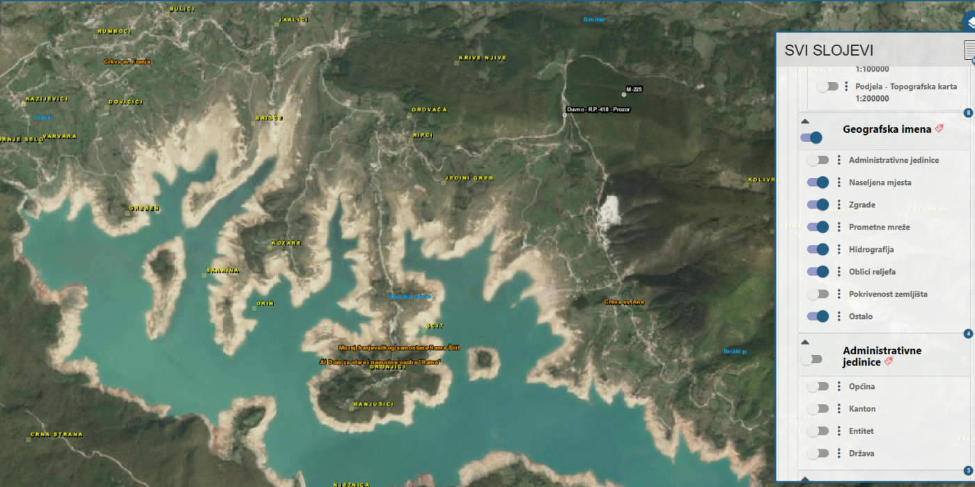
The ETL procedures were developed by Gauss d.o.o.. The project covered INSPIRE themes from the Annexes: geographical names, geology, and land use. The following SDI stakeholders participated in the data harmonization process:
Federal Institute for Geology
Institute for Urban Planning and Spatial Development of Zenica-Doboj Canton
Federal Administration for Geodetic and Real Property Affairs
As part of the project, comprehensive technical and implementation documentation was prepared, including data models, transformation procedures, and tools for spatial data harmonization in accordance with INSPIRE standards. Spatial datasets were harmonized and exported into standardized formats, enabling interoperability and further use at both national and European levels.
The result of the project is a set of operational and repeatable ETL procedures that enable continuous data harmonization while improving the quality, standardization, and exchange of spatial data within the SDI FBiH.
The harmonized datasets are already available to users through the SDI FBiH Web Viewer, providing simple access, transparency, and more efficient use of spatial data.