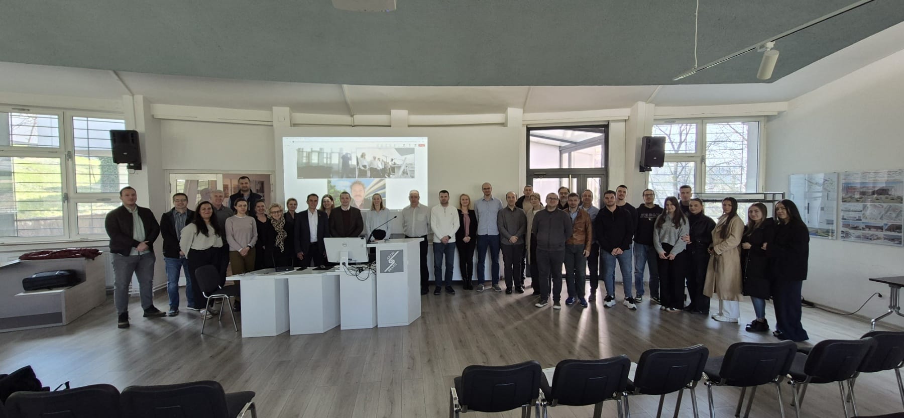
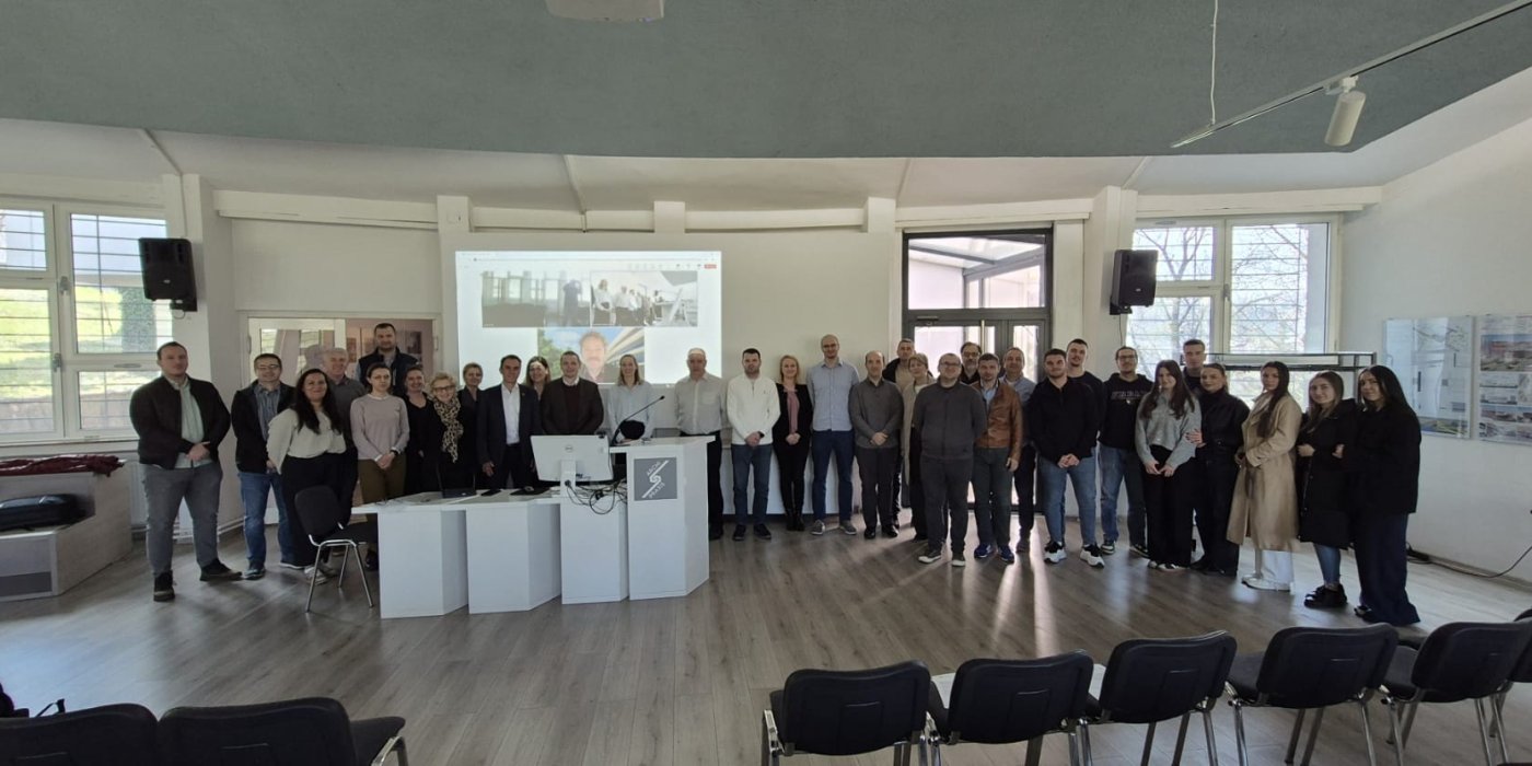
On March 10, 2026, a Train-the-Trainer workshop was held at the Faculty of Civil Engineering, University of Sarajevo, within the framework of the GeoConnect project, as part of activities aimed at strengthening institutional capacities in the field of geospatial data management and the development of the Spatial Data Infrastructure in the Federation of Bosnia and Herzegovina. The workshop was implemented as one of two workshops planned for March 2026, with the second workshop scheduled for March 12 at the University of Mostar.
This workshop represents an important step in the development of sustainable, locally driven capacities for managing geospatial data and implementing the NSDI concept in Bosnia and Herzegovina. Unlike traditional professional training sessions, the objective of this event was not to confirm or verify a predefined curriculum, but rather to strengthen the pedagogical, conceptual, and organizational capacities of participants and to jointly initiate the process of developing a future curriculum in the field of spatial data infrastructure.
The importance of the workshop is further emphasized by the fact that the University of Sarajevo and the University of Mostar have been recognized as key stakeholders and co-owners of the future development of the NSDI curriculum in the Federation of Bosnia and Herzegovina. International partners, primarily the ITC University of Twente and Kadaster International, play the role of facilitators and providers of methodological support in this process, sharing international experience and best practices while maintaining a clear focus on locally driven development of content and directions for action.
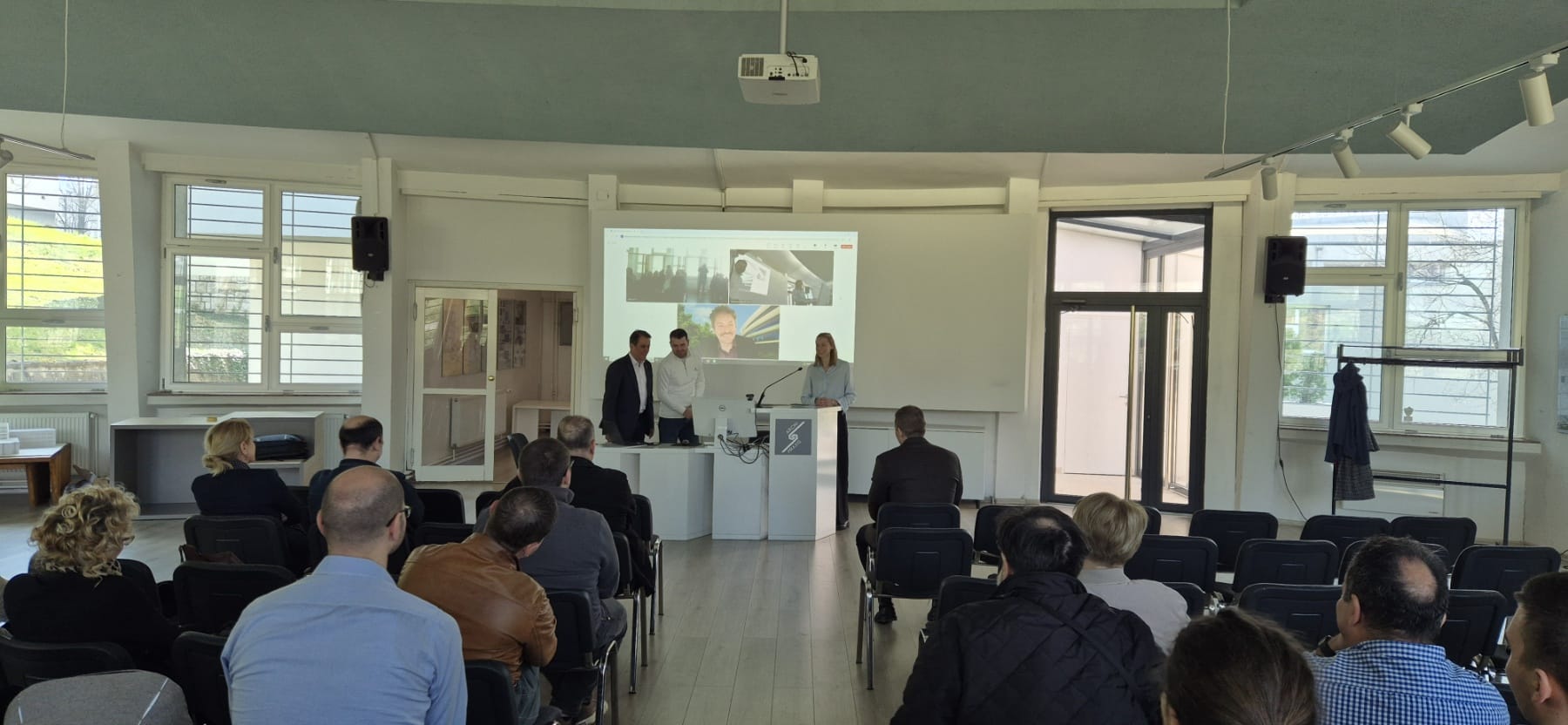
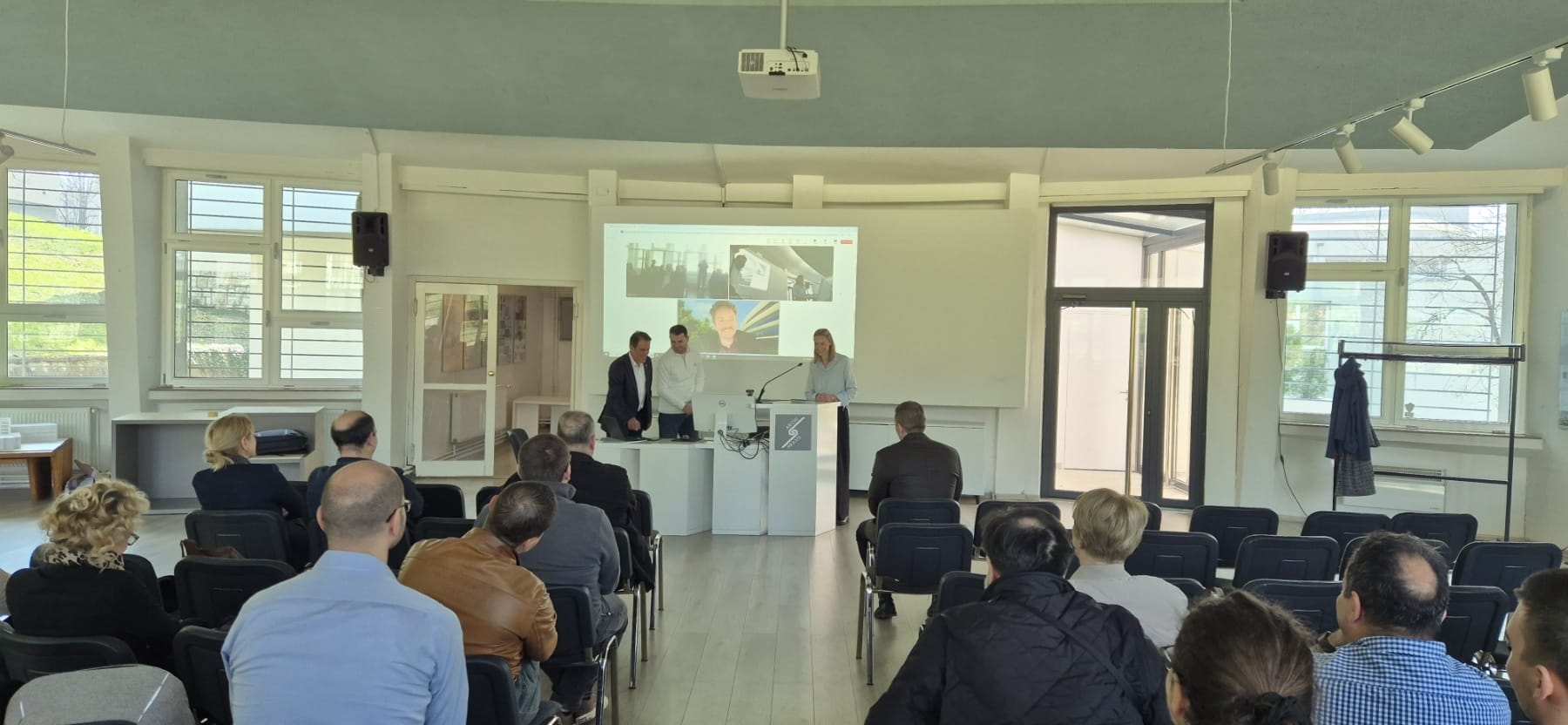
The workshop program was designed as a one-day intensive training combining introductory lectures, discussions, practical examples, and group work. The thematic focus was on understanding the role of NSDI and geospatial data in transparent governance, the application of INSPIRE principles and standards, methods for teaching adult learners, as well as joint reflection on future teaching content and models for their implementation in both academic and professional environments.
Through sessions and collaborative curriculum design activities, participants began drafting the future curricular components, including the definition of target groups, key learning outcomes, possible modules, and indicative content. In this way, the workshop did not represent a final product, but rather the beginning of a broader and gradual process of developing educational and professional programs in the field of spatial data infrastructure tailored to the needs of the Federation of Bosnia and Herzegovina.
The workshop also reaffirmed the importance of cooperation between the academic community, competent institutions, and international partners in strengthening knowledge and competencies in the field of geospatial information. The results of these activities are expected to serve as a foundation for further curriculum development, the preparation of supporting teaching materials, and the long-term institutional strengthening of the field of geospatial data and spatial data infrastructure in Bosnia and Herzegovina.