Promotional and Educational Video Materials of IPP FBiH

Promotional and Educational Video Materials of IPP FBiH

In accordance with the Procurement Plan and the Work Plan for the establishment, maintenance, and development of the Spatial Data Infrastructure of the Federation of Bosnia and Herzegovina (IPP FBiH) for 2024, the Federal Administration for Geodetic and Property Affairs has carried out a public procurement procedure for the services of presenting and promoting the effects and importance of IPP FBiH.

The main goal of this activity was to create promotional and educational-informative materials to bring IPP FBiH closer to end users. The focus was on increasing the understanding of the functionalities and importance of IPP, whether for citizens or entities using IPP FBiH applications for entering and exchanging spatial data.

As part of this initiative, one promotional video and four educational video clips were created, which provide detailed explanations of data entry into registers, metadata catalog, data sharing processes, and spatial data harmonization in accordance with the INSPIRE directive. Additionally, five short video clips in Reels format were created, creatively and engagingly communicating key aspects of IPP FBiH.

All video materials are available on the IPP FBiH website and YouTube channel, where they will serve as a valuable resource for education and promotion at future events.

Visit our YouTube channel and watch the videos to learn more about the significance and benefits of IPP FBiH!

Forty-fourth session of the SDI Council of FBiH held

Forty-fourth session of the SDI Council of FBiH held

On December 18, 2024, the forty-fourth session of the SDI FBiH Council was held in the premises of the Federal Administration for Geodetic and Property Affairs. The session was attended by members of the Council in accordance with the Decision of the Government of the Federation of BiH.

The following agenda was discussed at the Council session:

  1. Approval of the agenda for the 44th session of the SDI Council of FBiH;
  2. Adoption of the minutes from the previous 43rd session of the SDI Council of FBiH;
  3. Adoption of the Decision related to the definition and detailed description of Spatial Data themes of SDI Federation BiH;
  4. Information on the development of promotional and educational video materials of SDI FBiH;
  5. Information on draft of the Framework Study for spatial data licensing of SDI FBiH;
  6. Information on draft of the Communication Plan;
  7. Information on the appointment of new members of the Working Group for Technical Standards and the proposal for a Decision on amending and supplementing the decision;
  8. Adoption of the Report on the establishment, maintenance and development of SDI FBiH for the Year 2024;
  9. Information on the status of the Regulation on the content and holders of the unified information system, the methodology of data collection and processing, and the unique forms on which records are kept;
  10. Other.

At the 44th session, the Council approved the Decision on establishing the definitions and detailed description of spatial data themes of the SDI of Federation BiH, i.e. the implementation rule related to the application of spatial data themes in the territory of the Federation of BiH.

The SDI FBiH Council regularly monitored the implementation of planned activities, carried out a comprehensive assessment of the implementation on an annual basis and proposed possible changes and additions to the annual work plan. The Federal Administration for Geodetic and Real Property Legal Affairs, as the Coordinating Body of the SDI FBiH, prepared and submitted the Work Report for the Year 2024 to the members of the Council for consideration. At the 44th session, the proposed Report was adopted for submission to the Government of the Federation of BiH for acceptance.

Final Event of the SPATIAL II Project Held in Belgrade

Final Event of the SPATIAL II Project Held in Belgrade

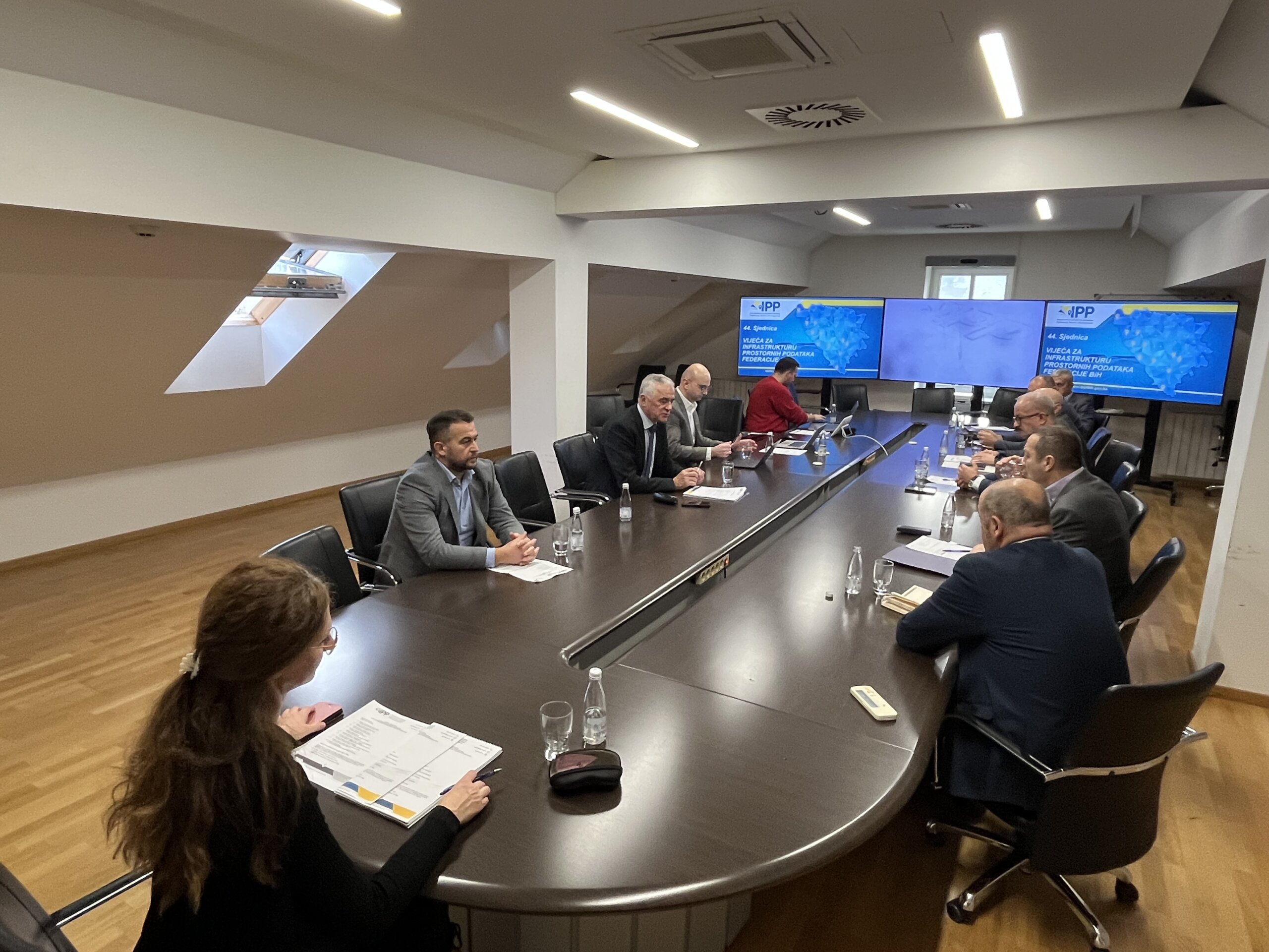
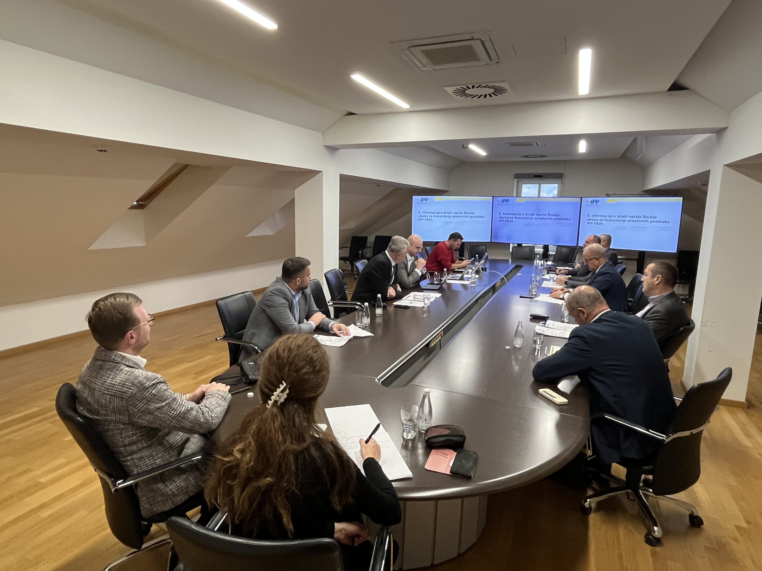
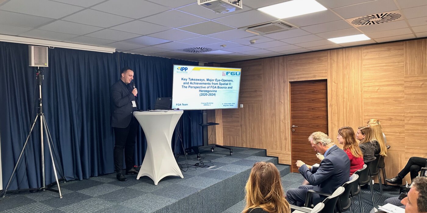
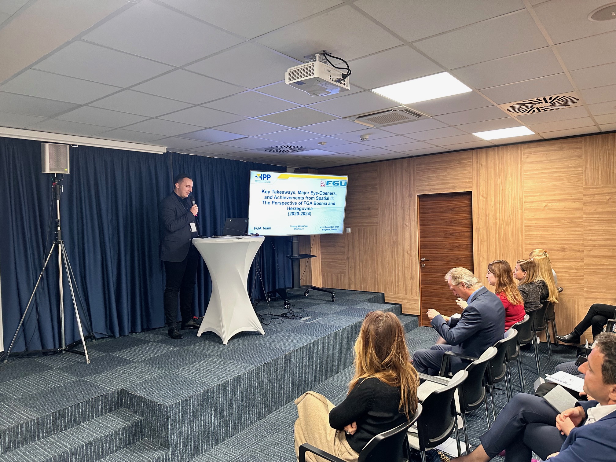
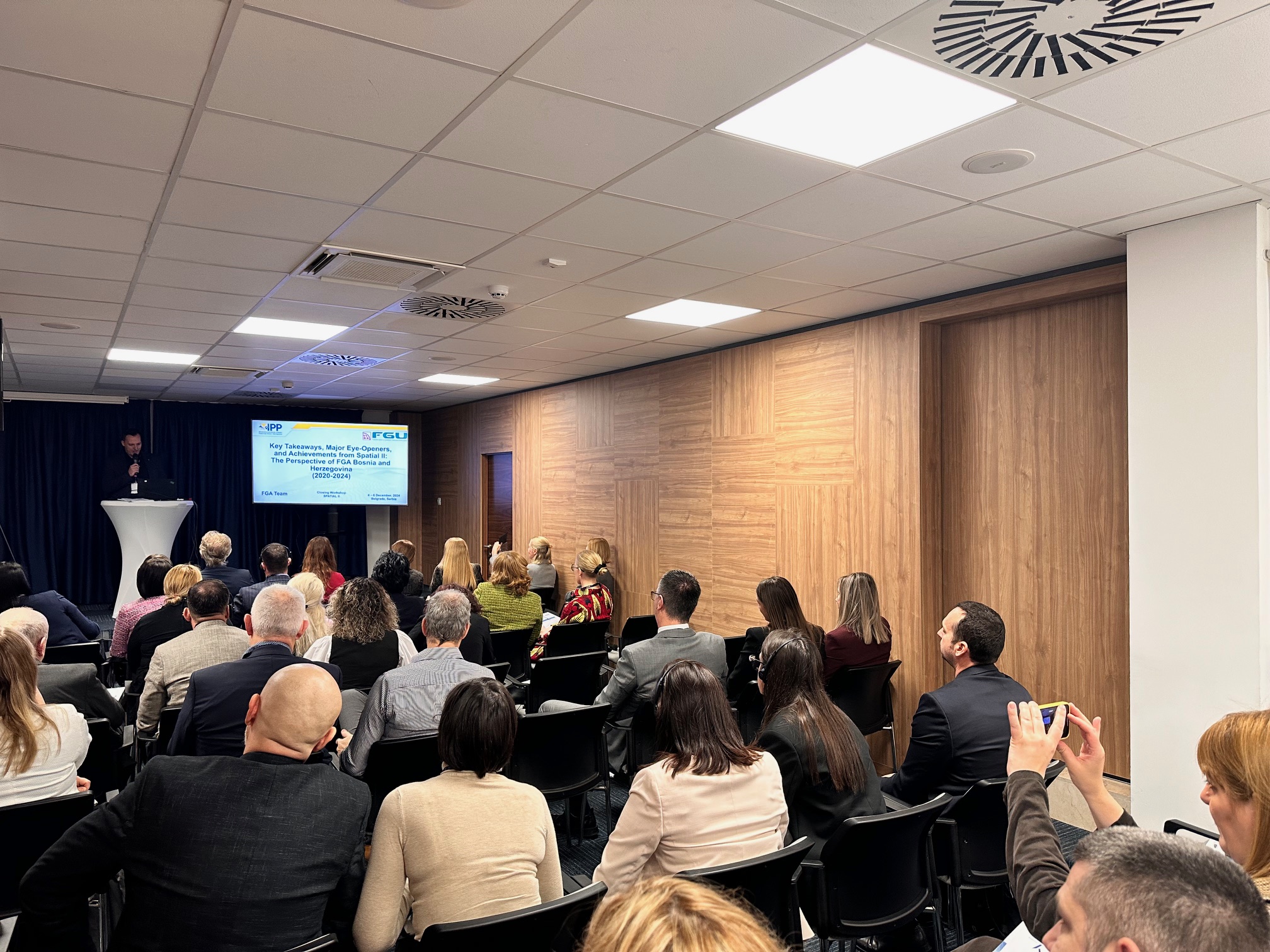
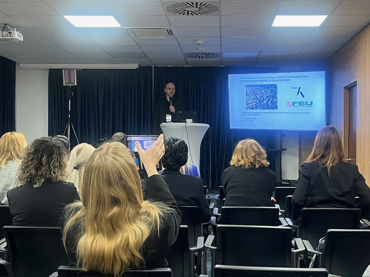
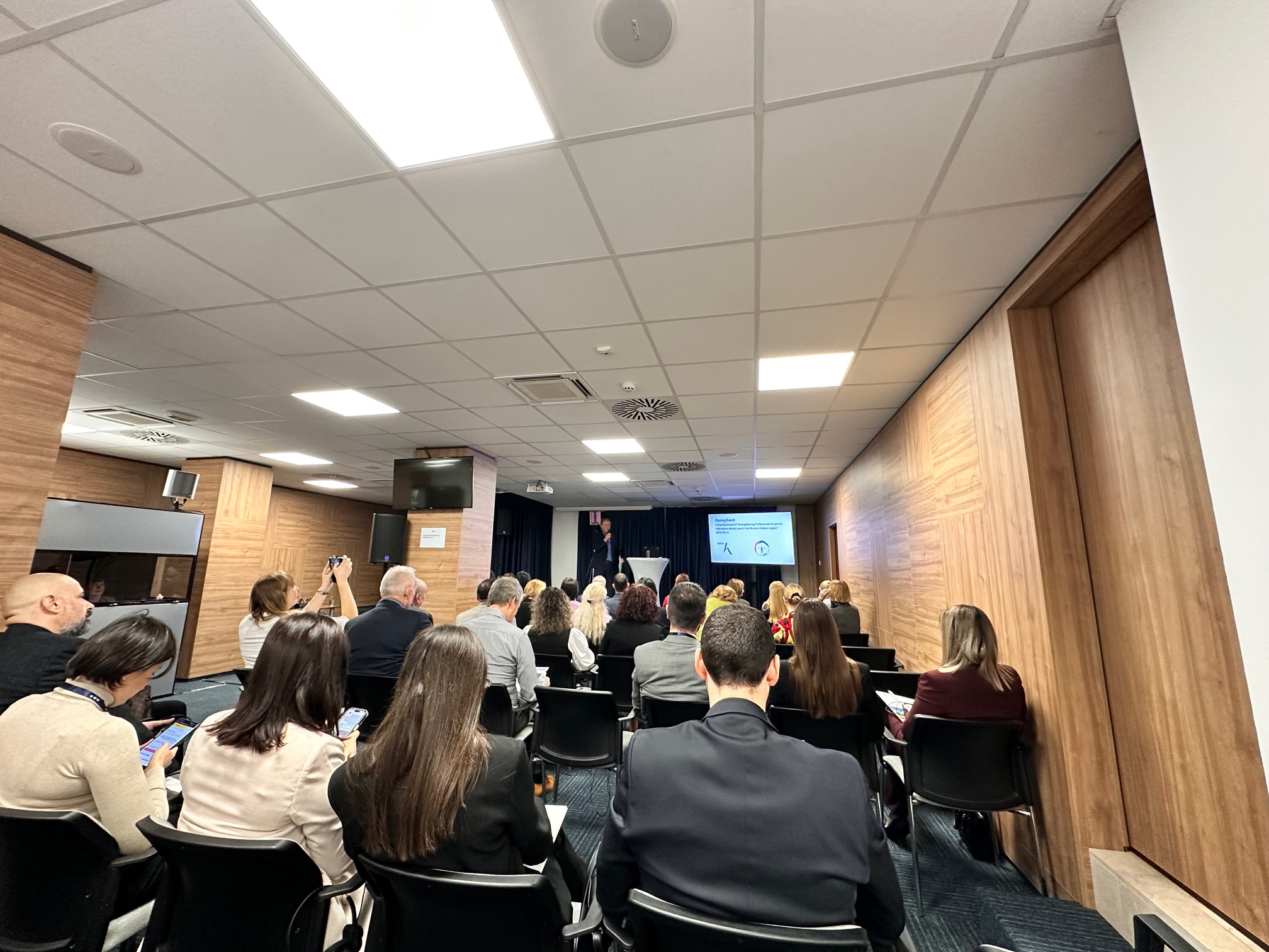
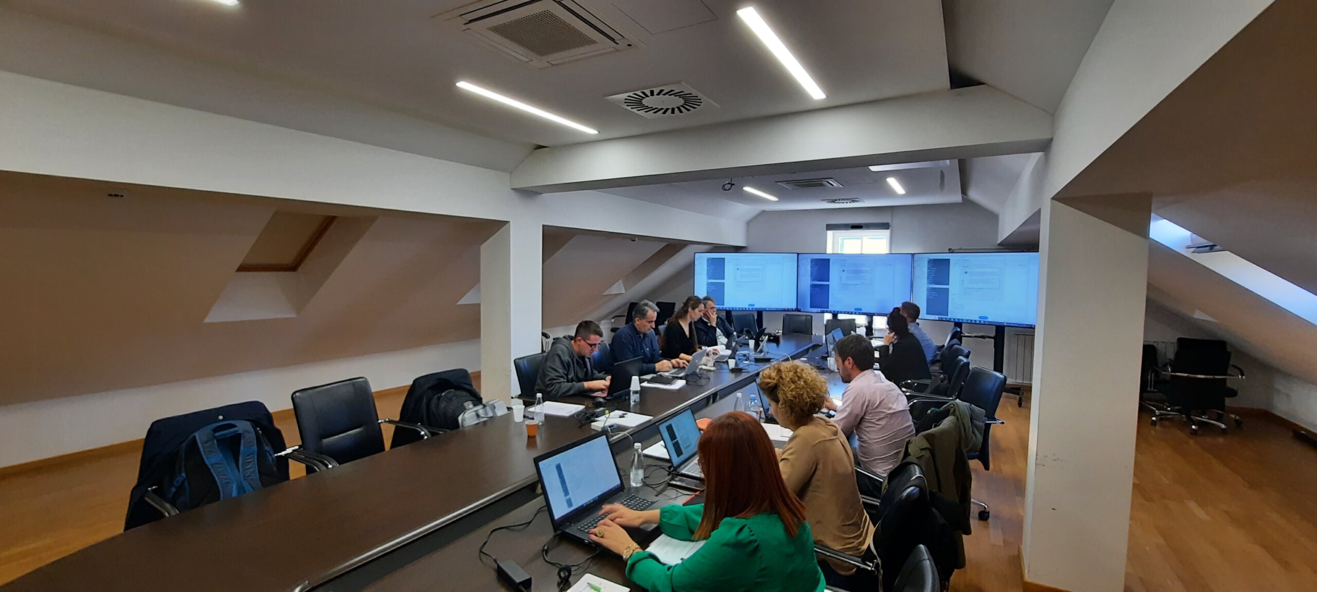
From December 4 to 6, 2024, the final event of the regional SPATIAL II project, focused on the modernization of geodetic processes and spatial data management in the Western Balkans, was held in Belgrade. The host of this important gathering was the Republic Geodetic Authority of Serbia (RGA), and the event brought together representatives from key geodetic institutions in the region, including the Federal Administration for Geodetic and Real Property Affairs (FGA), as well as delegations from Montenegro, Albania, Kosovo, and North Macedonia.

Launched in 2020 with financial support from the Kingdom of the Netherlands, SPATIAL II aimed to strengthen the capacities of national geodetic agencies for the collection, analysis, and exchange of spatial data. The project’s key partner was Kadaster, the national land administration agency of the Netherlands.

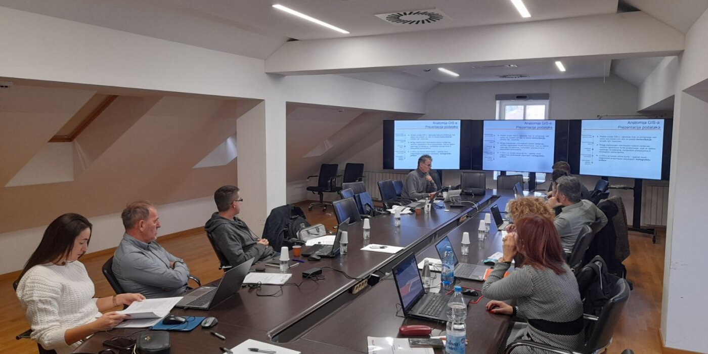
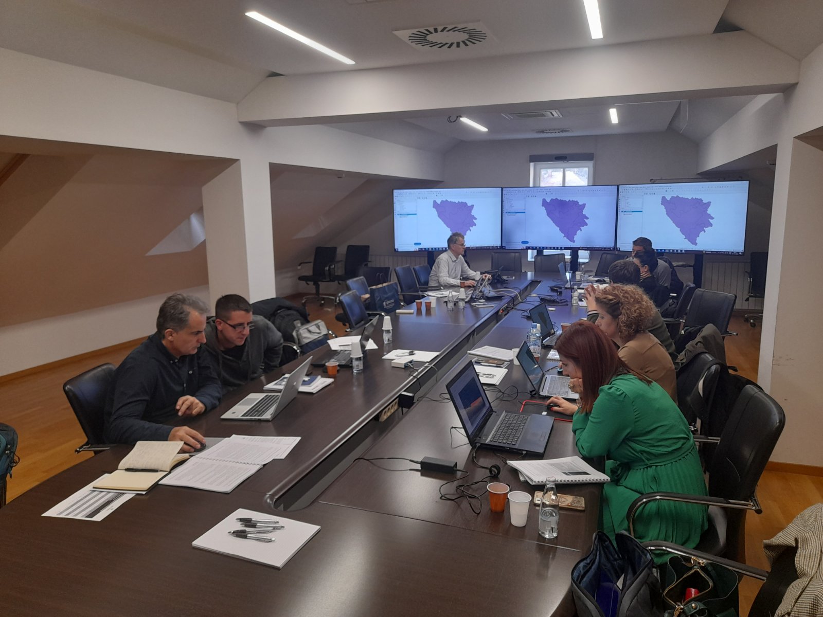
The project lasted four years, during which regional institutions received continuous support to enhance digital registers, standardize procedures, and increase the interoperability of their systems. Particular emphasis was placed on the application of new technologies.

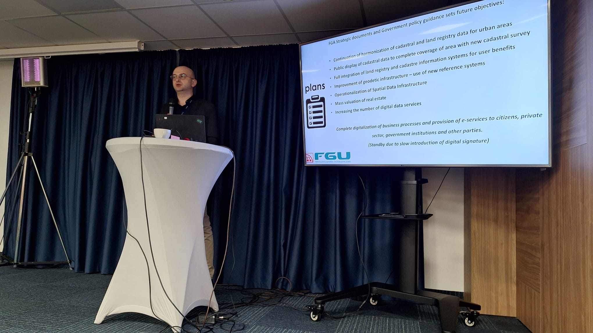
During the closing event, participants presented the results of their work and exchanged experiences gained during the project’s implementation. The following achievements were particularly highlighted:

  • Development of modern digital geodetic products such as digital terrain models and orthophoto imagery.
  • Enhancement of infrastructure for data exchange between countries in the region.
  • Introduction of innovative technologies for spatial data management, with a special focus on updating land registers.

Discussions also addressed the challenges faced in the digitization process, including legal and technical barriers, and emphasized the need for continued regional cooperation and sustainable spatial resource management.

SPATIAL II has made a significant impact on advancing geodetic practices in the Western Balkans, laying the groundwork for future projects focused on digitization and spatial modernization. Participants highlighted the importance of continuing collaboration, particularly in the context of harmonization with European Union standards.

Capacity building regarding Spatial Data Infrastructure of the Federation of Bosnia and Herzegovina

Capacity building regarding Spatial Data Infrastructure of the Federation of Bosnia and Herzegovina

Following the expressed interest from SDI stakeholders, the Federal Administration for Geodetic and Property Affairs during November continued building capacity in the field of spatial data infrastructure of the Federation of Bosnia and Herzegovina (SDI FBiH). The Federal Administration for Geodetic and Property Legal Affairs and in budget funds ensured Basic and Advanced training. The company Gauss d.o.o. Tuzla was selected as a service provider which has rich experience in capacity building in the field of SDI and spatial data in general. The main goal is to acquire competences in the field of spatial data management, their preparation, presentation and sharing, as well as the acquisition of basic knowledge when it comes to spatial data infrastructure.

The institutions that attended training organized by FGA are: Public Institution for Protected Natural Areas of Sarajevo Canton, Ministry of Construction and Spatial Planning of Herzegovina-Neretva Canton, Federal Institute for Agriculture Sarajevo, Administration for Geodetic and Property Legal Affairs of Central Bosnia Canton, Institute for Urban Planning, spatial planning and protection of the cultural and historical heritage of Central Bosnia Canton.

At the end of each held training, an evaluation of the acquired knowledge was carried out, within which the attendees could present their observations during the training, including the content of the training, methodology and everything else. By reviewing the completed evaluation forms of the trainings, it can be concluded that the training was successfully conducted and that the set goal was met.

The Federal Administration for Geodetic and Real Property Affairs will continue to invest in the development and training of its employees as well as employees of other institutions in order to ensure a better use of Spatial Data in the future.

Federal Administration for Geodetic and Real Property Affairs

Working hours: 08:00 - 16:00
Contact phone: 033/712-616
E-mail: ipp.fbih@fgu.com.ba

Hamdije Kreševljaković br.96

Sarajevo 71000

©FGU 2024, ALL RIGHTS RESERVED.