Year: 2024
Forty-fourth session of the SDI Council of FBiH held
Forty-fourth session of the SDI Council of FBiH held
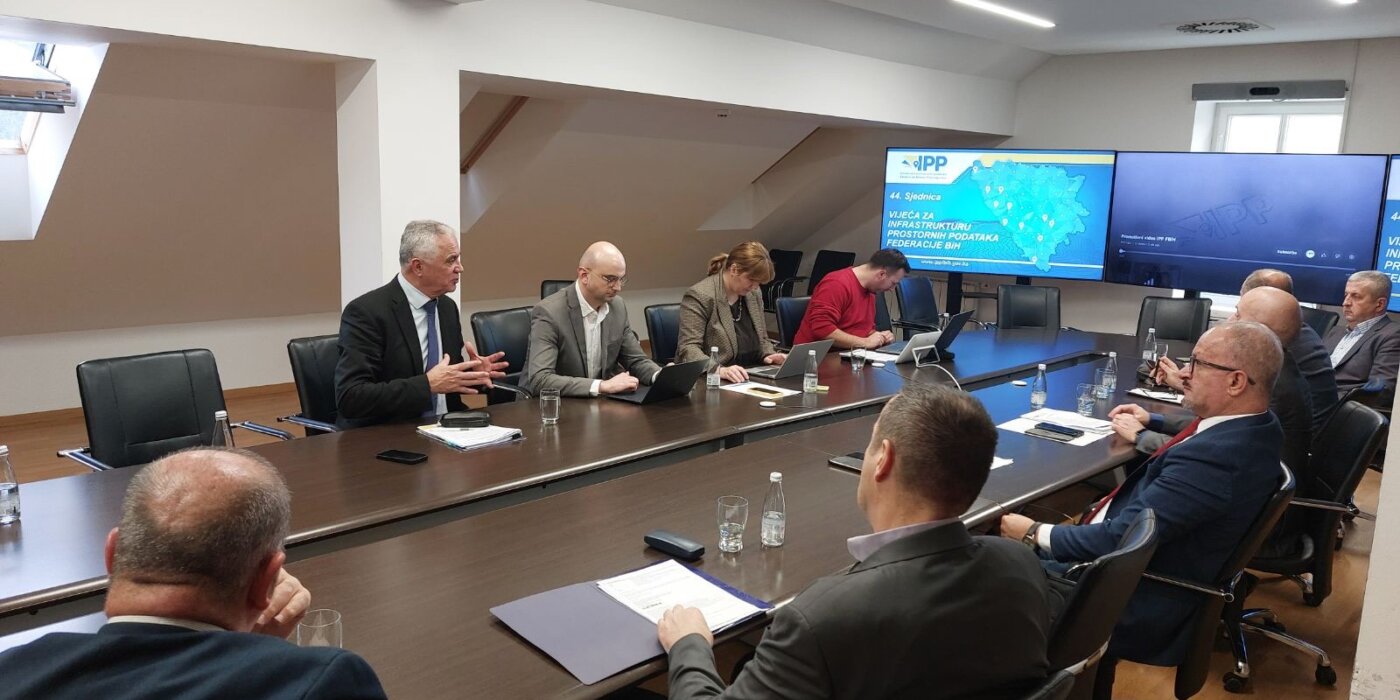
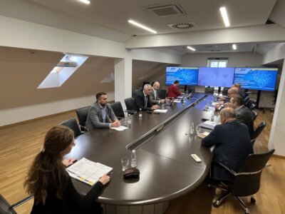
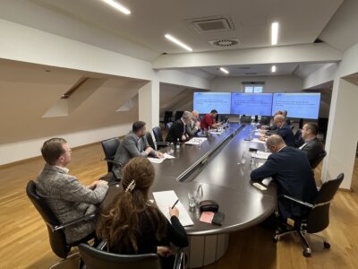
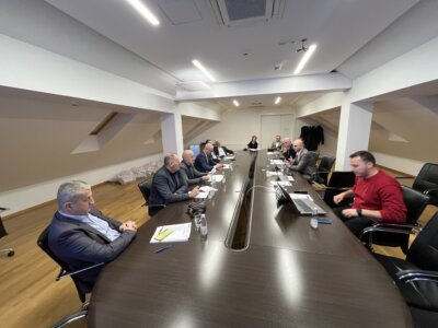
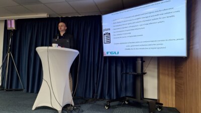
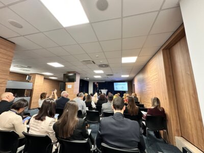
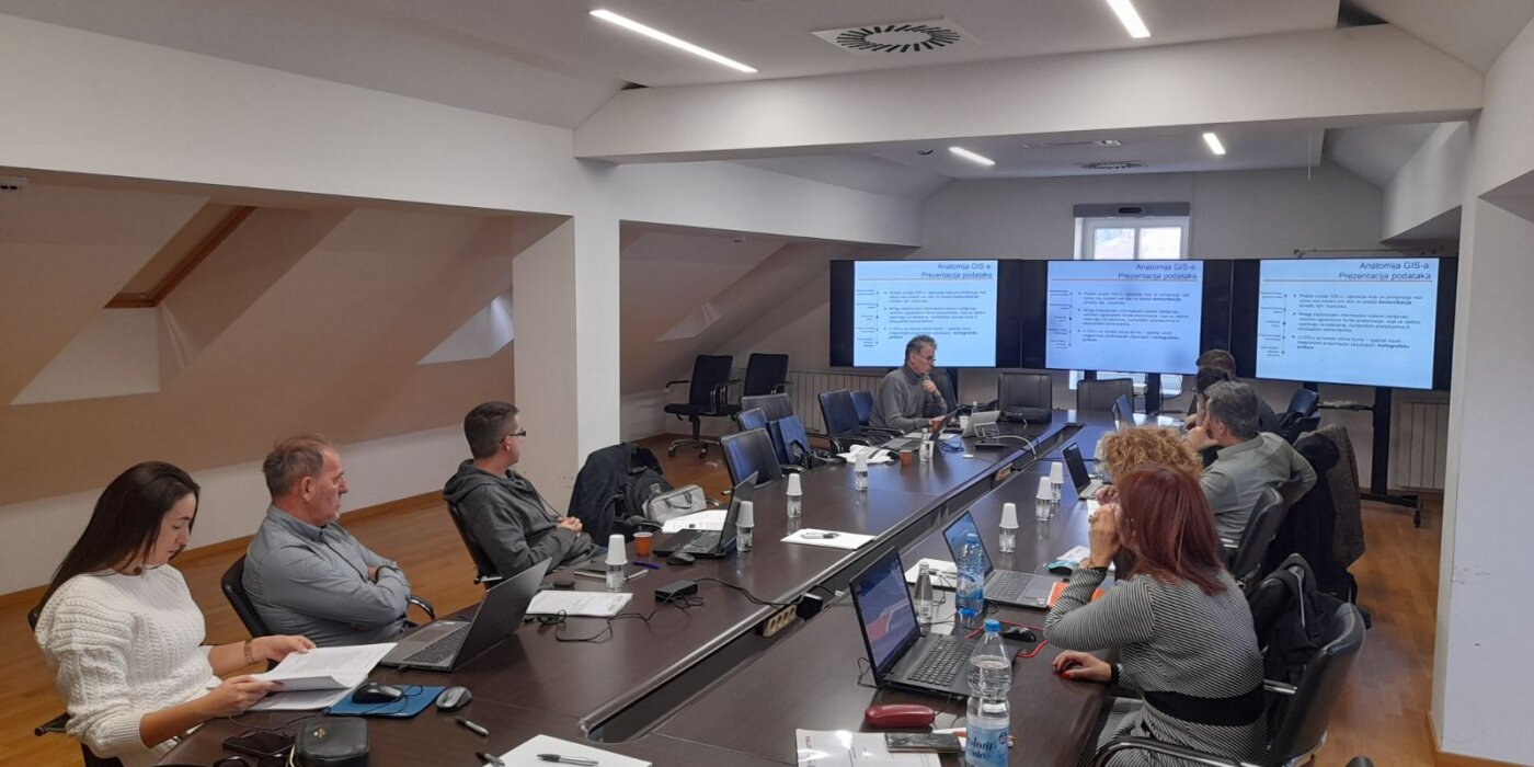
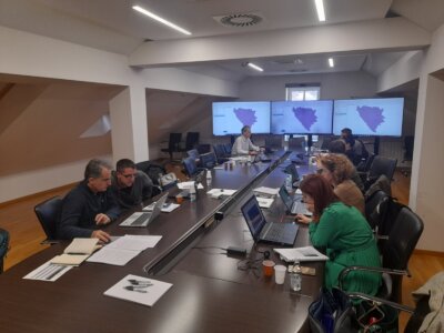
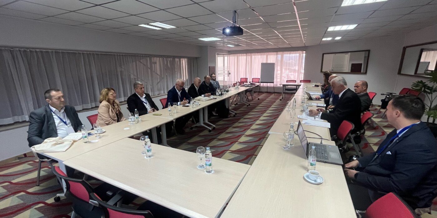
On December 18, 2024, the forty-fourth session of the SDI FBiH Council was held in the premises of the Federal Administration for Geodetic and Property Affairs. The session was attended by members of the Council in accordance with the Decision of the Government of the Federation of BiH.
The following agenda was discussed at the Council session:
- Approval of the agenda for the 44th session of the SDI Council of FBiH;
- Adoption of the minutes from the previous 43rd session of the SDI Council of FBiH;
- Adoption of the Decision related to the definition and detailed description of Spatial Data themes of SDI Federation BiH;
- Information on the development of promotional and educational video materials of SDI FBiH;
- Information on draft of the Framework Study for spatial data licensing of SDI FBiH;
- Information on draft of the Communication Plan;
- Information on the appointment of new members of the Working Group for Technical Standards and the proposal for a Decision on amending and supplementing the decision;
- Adoption of the Report on the establishment, maintenance and development of SDI FBiH for the Year 2024;
- Information on the status of the Regulation on the content and holders of the unified information system, the methodology of data collection and processing, and the unique forms on which records are kept;
- Other.
At the 44th session, the Council approved the Decision on establishing the definitions and detailed description of spatial data themes of the SDI of Federation BiH, i.e. the implementation rule related to the application of spatial data themes in the territory of the Federation of BiH.
The SDI FBiH Council regularly monitored the implementation of planned activities, carried out a comprehensive assessment of the implementation on an annual basis and proposed possible changes and additions to the annual work plan. The Federal Administration for Geodetic and Real Property Legal Affairs, as the Coordinating Body of the SDI FBiH, prepared and submitted the Work Report for the Year 2024 to the members of the Council for consideration. At the 44th session, the proposed Report was adopted for submission to the Government of the Federation of BiH for acceptance.
Final Event of the SPATIAL II Project Held in Belgrade
Final Event of the SPATIAL II Project Held in Belgrade
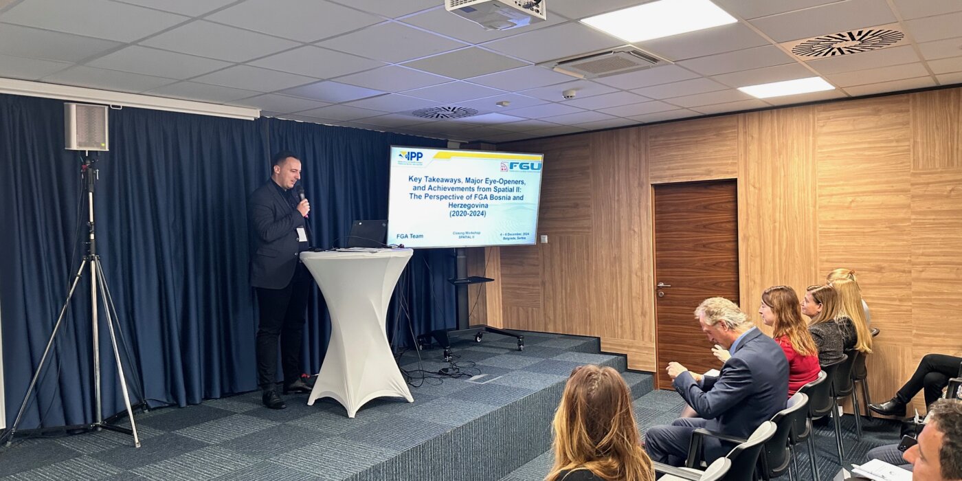
From December 4 to 6, 2024, the final event of the regional SPATIAL II project, focused on the modernization of geodetic processes and spatial data management in the Western Balkans, was held in Belgrade. The host of this important gathering was the Republic Geodetic Authority of Serbia (RGA), and the event brought together representatives from key geodetic institutions in the region, including the Federal Administration for Geodetic and Real Property Affairs (FGA), as well as delegations from Montenegro, Albania, Kosovo, and North Macedonia.
Launched in 2020 with financial support from the Kingdom of the Netherlands, SPATIAL II aimed to strengthen the capacities of national geodetic agencies for the collection, analysis, and exchange of spatial data. The project’s key partner was Kadaster, the national land administration agency of the Netherlands.
The project lasted four years, during which regional institutions received continuous support to enhance digital registers, standardize procedures, and increase the interoperability of their systems. Particular emphasis was placed on the application of new technologies.
During the closing event, participants presented the results of their work and exchanged experiences gained during the project’s implementation. The following achievements were particularly highlighted:
- Development of modern digital geodetic products such as digital terrain models and orthophoto imagery.
- Enhancement of infrastructure for data exchange between countries in the region.
- Introduction of innovative technologies for spatial data management, with a special focus on updating land registers.
Discussions also addressed the challenges faced in the digitization process, including legal and technical barriers, and emphasized the need for continued regional cooperation and sustainable spatial resource management.
SPATIAL II has made a significant impact on advancing geodetic practices in the Western Balkans, laying the groundwork for future projects focused on digitization and spatial modernization. Participants highlighted the importance of continuing collaboration, particularly in the context of harmonization with European Union standards.
Capacity building regarding Spatial Data Infrastructure of the Federation of Bosnia and Herzegovina
Capacity building regarding Spatial Data Infrastructure of the Federation of Bosnia and Herzegovina
Following the expressed interest from SDI stakeholders, the Federal Administration for Geodetic and Property Affairs during November continued building capacity in the field of spatial data infrastructure of the Federation of Bosnia and Herzegovina (SDI FBiH). The Federal Administration for Geodetic and Property Legal Affairs and in budget funds ensured Basic and Advanced training. The company Gauss d.o.o. Tuzla was selected as a service provider which has rich experience in capacity building in the field of SDI and spatial data in general. The main goal is to acquire competences in the field of spatial data management, their preparation, presentation and sharing, as well as the acquisition of basic knowledge when it comes to spatial data infrastructure.
The institutions that attended training organized by FGA are: Public Institution for Protected Natural Areas of Sarajevo Canton, Ministry of Construction and Spatial Planning of Herzegovina-Neretva Canton, Federal Institute for Agriculture Sarajevo, Administration for Geodetic and Property Legal Affairs of Central Bosnia Canton, Institute for Urban Planning, spatial planning and protection of the cultural and historical heritage of Central Bosnia Canton.
At the end of each held training, an evaluation of the acquired knowledge was carried out, within which the attendees could present their observations during the training, including the content of the training, methodology and everything else. By reviewing the completed evaluation forms of the trainings, it can be concluded that the training was successfully conducted and that the set goal was met.
The Federal Administration for Geodetic and Real Property Affairs will continue to invest in the development and training of its employees as well as employees of other institutions in order to ensure a better use of Spatial Data in the future.
Education on the topic of Spatial Data Infrastructure held in Travnik
Education on the topic of Spatial Data Infrastructure held in Travnik
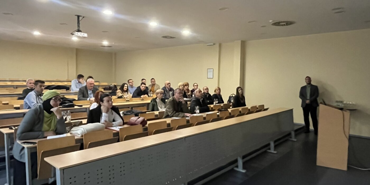
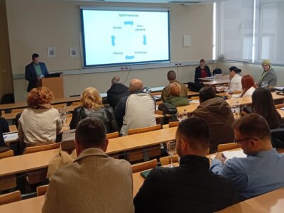
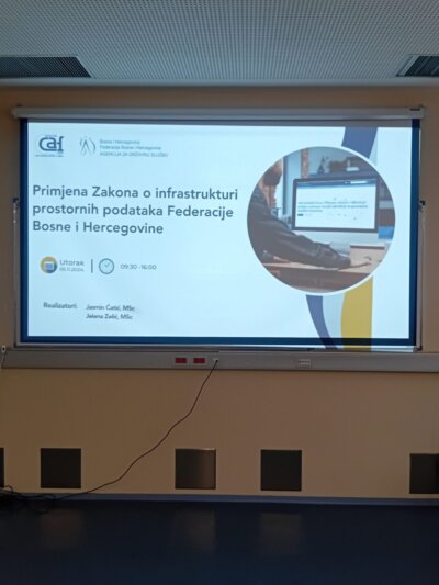
The education on the topic of Spatial Data Infrastructure of the Federation of Bosnia and Herzegovina was held at the IUT Hotel in Travnik, on November 5, 2024. The education was organized in cooperation with the FBiH Civil Service Agency, within the framework of the program for local self-government units. In addition to representatives of local self-government units, representatives of Ministries and Institutes from Central Bosnia and Zenica-Doboj cantons also attended the training.
Educators in front of the Federal Administration for Geodetic and Real Property Affairs, Mr. Jasmin Ćatić and Mrs. Jelena Zelić, had the opportunity to hold an introductory education in the field of Spatial Data Infrastructure in the FBiH. The education is divided into 3 modules; Introduction and basic principles of the SDI, Legislative and strategic framework, SDI in practice (examples, solutions and tools).
The goals of the education were:
- Familiarize participants with basic concepts and definitions of the Spatial Data Infrastructure (SDI)
- Explain the key aspects of the SDI Law, implementing rules and the INSPIRE directive
- Provide insight into legal obligations
- Show the current status of SDI FBiH
- Show practical applications and benefits of the SDI for the public sector and society.
The Federal Administration for Geodetic and Real Property Affairs, as the coordinating body of the SDI FBiH, hereby thanks the FBiH Civil Service Agency for the recognized importance of organizing this education, which created the prerequisites for continued cooperation in the field of capacity building and spreading awareness about the Spatial Data Infrastructure in FBiH.
Regular annual meeting of the DELEF project
Regular annual meeting of the DELEF project
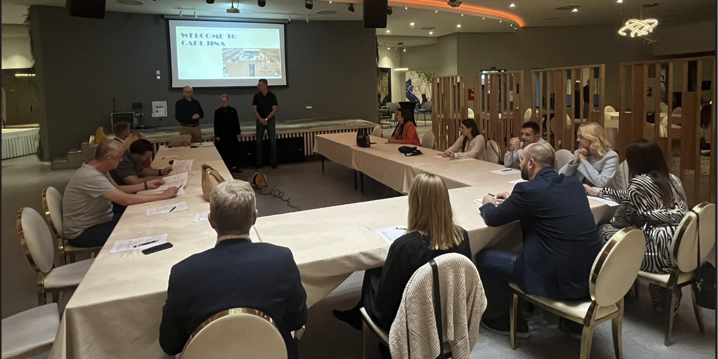
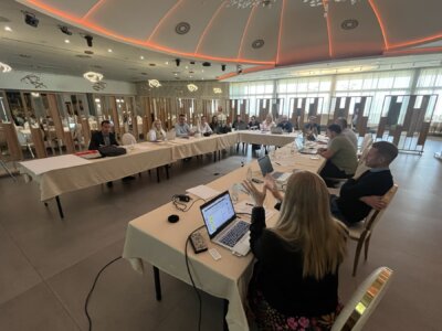
The regular annual meeting of the DELEF project management and component leaders – the Federal Administration for Geodetic and Real Property Affairs and the Republic Authority for Geodetic and Real Property Affairs of RS was held in Čapljina from October 22 to 24, 2024.
The meeting was led by Mrs. Jenny Svennewall, director of the DELEF project, in cooperation with the project coordinators who were appointed in front of both entity geodetic administrations. During the meeting, the coordinators of the components discussed the results so far and the achieved indicators for the year 2024, as well as the plans and indicators for the year 2025. As the annual meeting is an important activity that defines the work and time plan, the additional consultations and arrangements have been made between the leaders of the components.
The regular annual meeting of the DELEF project management and component leaders also serves as a basis and preparation for the preparation of the Annual report that will be considered at the Steering Committee, which will be held in early 2025. All participants expressed their satisfaction with the results achieved and their joint work and expect similar and even better results in the continuation of the DELEF project implementation.
Repository of Photos and Presentations from the 5th Conference “Days of the Spatial Data Infrastructure of the Federation of BiH”
Repository of Photos and Presentations from the 5th Conference "Days of the Spatial Data Infrastructure of the Federation of BiH"
As we announced in our previous post, we have prepared a repository of photos and all presentations from the fifth conference “Days of the Spatial Data Infrastructure of the Federation of Bosnia and Herzegovina,” which you can find and download at the following URL:
We thank you for your participation, engagement, and support. We hope to see you again next year at the sixth conference “Days of the Spatial Data Infrastructure of the Federation of Bosnia and Herzegovina.”
The conference “5th Spatial Data Infrastructure Days of the Federation of Bosnia and Herzegovina”
The conference "5th Spatial Data Infrastructure Days of the Federation of Bosnia and Herzegovina"
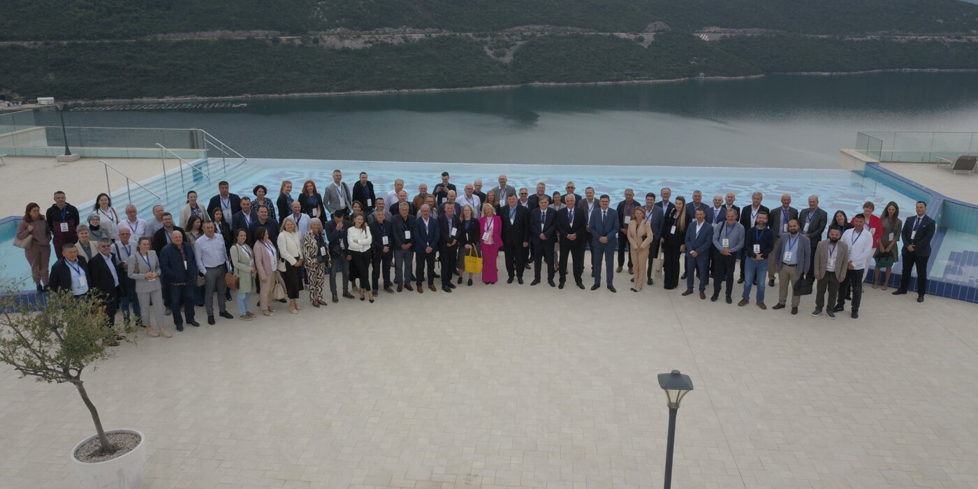
The conference “5th Spatial Data Infrastructure Days of the Federation of Bosnia and Herzegovina” was held in Neum on October 17 and 18, 2024, in the organization of the Federal Administration for Geodetic and Real Property Affairs, the coordinating body of the Spatial Data Infrastructure in the Federation of Bosnia and Herzegovina, and all with the support of the Swedish donor project DELEF.
The Conference represented a unique opportunity to gather all significant participants in the field of Spatial Data Infrastructure, as well as other interested parties, international representatives, the academic sector, and a forum for discussion, exchange of opinions and experiences, as well as an overview of current progress regarding this field.
An interesting and professional Conference program was organized for the participants, which was divided into two working days, organized into 4 sessions, and the 5th session was in the form of a panel discussion on the topic “Spatial data infrastructure perspective: Digital transformation and ecological sustainability”. When it comes to opening speeches, the Chairman of the Council for Spatial Data Infrastructure and the Director of the Federal Geodetic Administration, Mr. Željko Obradović, addressed the attendees, as well as representative of the Swedish Development Agency, Mr. Nedim Bukvić, and the Federal Minister of Spatial Planning, Mr. Željko Nedić.
This year’s Conference was attended by around 100 participants from 58 different institutions, domestic and international, academic institutions and the private sector.
The main goal of the Spatial data infrastructure is to create the prerequisites to collect all spatial data in one place, describe it with metadata, inventory it and make it available. The capacity building, education and spreading of awareness are essential activities when it comes to Spatial data infrastructure, and the Conference represents one aspect of their realization.
Connecting different information that is spatially defined (georeferenced), enables users to carry out complex searches and analyses and connect phenomena in space, the prerequisites for modern management of space and spatial resources are realized.
Below we present conclusions from this year’s Conference, while the picture gallery and presentation repository will be published in the coming days.
Conclusions from the conference:
- The participants of the “5th Spatial Data Infrastructure Days of the Federation of Bosnia and Herzegovina” express their gratitude to the SDI coordination body for the excellent organization and provision of relevant and professional conference content, thereby recognizing the importance of quality events for the promotion of the sustainable development of the professional community.
- The participants express their satisfaction with the continuous organization of events with promotional and educational content in the field of Spatial Data Infrastructure for the purpose of strengthening inter-institutional cooperation and exchange of professional knowledge and information.
- Through the activities of the SDI FBIH Coordination Body and entities, a significant progress has been made in the development of the Spatial data infrastructure. A legal framework was established, spatial management tools were modernized, and the availability of spatial data and metadata was significantly improved. A special focus was placed on the education of professional staff and raising the capacity of institutions through project activities, which contributed to more efficient use of spatial data in the public and private sector, and support for sustainable development and environmental sustainability.
- The implementation of the World Bank’s GIVE project: Participants recognize the importance of the planned implementation of the GIVE project in strengthening the Spatial data infrastructure. This project will provide key support to institutions and organizations in reaching the required level of involvement in the SDI FBIH activities, especially through strengthening their ICT equipment, equipped with modern tools and knowledge necessary for effective participation in this process. All institutions are invited to actively participate in the project implementation, which is led and coordinated by the Federal Geodetic Administration.
- Transparency, accuracy and reliability of spatial data are recognized as basic factors for sustainable development and environmental protection. Precise data enables responsible planning and long-term preservation of natural resources.
- Successful examples of the spatial data use show the importance of integrating different technologies for effective environmental monitoring and management. The exchange of knowledge and experience between institutions and other SDI entities is important for strengthening the capacity for using spatial data in environmental protection. Examples from practice confirm that spatial data play a key role in developing strategies for sustainable resource management and resilience to climate change.
- The role of the academic sector: It was concluded that the academic sector has a key role in the development of the Spatial data infrastructure. Research and innovation contribute to the improvement of technologies and methodologies, while through the education of new personnel they help keeping the relevance of the SDI in the era of rapid technological changes. It is recommended to strengthen the cooperation between academic institutions and the public sector in the development of new solutions.
- The participants emphasized the importance of involving the private sector in the SDI, in order to ensure the commercialization of innovations and technologies related to spatial data. Intensification of cooperation is recommended in order to take advantage of the opportunities provided by spatial data in various sectors, including tourism, energy and economy.
- During the conference, the participants emphasized the need of continuously raising awareness of all participants in this process and raise the level of information exchange, knowledge transfer and the possibility of achieving new levels of activity, thus encouraging sustainable development of the community.
- The participants expressed their gratitude to the international donors for their previous support for the establishment and development of the Spatial Data Infrastructure, emphasizing the further need for cooperation with donors and creditors in designing activities aimed to develop the Spatial data infrastructure in the Federation of BiH as a key participant in sustainable development.
Forty-third session of the SDI Council of FBiH held
Forty-third session of the SDI Council of FBiH held
On October 17, 2024 during the conference “Days of Spatial Data Infrastructure of the Federation of Bosnia and Herzegovina”, the 43rd session of the SDI Council of the Federation of Bosnia and Herzegovina was held in Neum.
The following agenda was discussed at the Council session:
- Approval of the agenda for the 43rd session of the SDI Council of FBiH;
- Adoption of the minutes from the previous 42nd session of the SDI Council of FBiH;
- Information on the implementation of the Work Plan for the establishment, maintenance, and development of the SDI of FBiH for Year 2024;
- Information about the new Netherlands donor project;
- Information on the current fifth conference “Days of SDI FBiH and proposal of conclusions of conference;
- Other.
As the Coordination Body of the SDI of FBiH, the Federal Administration for Geodetic and Property Affairs prepared information for Council members regarding the implementation of the Work Plan for the establishment, maintenance, and development of the SDI of FBiH for 2024. In accordance with the SDI Strategy for the period 2023-2027 and the Action plan for 2024, activities related to increasing the number of entities and available resources continued to improve the level of availability and interoperability of spatial data. The Coordination Body is also working on the configuration of the SDI validator of the Federation of BiH in order to provide support to the SDI stakeholders when fulfilling their obligations. Additionally, in the coming period, there will be a focus on promoting the effects and importance of the SDI through the creation of a promo video and the implementation of a communication plan.
Framework Study for Spatial Data Licensing – Survey Data Collection
Framework Study for Spatial Data Licensing - Survey Data Collection
Dear colleagues and representatives of SDI FBiH entities and other interested parties,
The Federal Administration for Geodetic and Property Affairs, as the coordinating body of the Spatial Data Infrastructure (in accordance with the Law on Spatial Data Infrastructure of the Federation of Bosnia and Herzegovina, Official Gazette of FBiH no. 55/21), as part of the implementation of the Work Plan for the establishment, maintenance, and development of SDI FBiH for the year 2024, is carrying out the activity of developing a framework study for spatial data licensing. The aim of this Study is to explore the possibilities and prerequisites for establishing a comprehensive and transparent licensing framework for spatial data within the Spatial Data Infrastructure of the Federation of Bosnia and Herzegovina. This framework will align with the EU INSPIRE Directive, ensuring interoperability and compliance with European standards, while simultaneously addressing the specific needs and challenges of FBiH. The primary purpose of the Study is to support easier exchange, reuse, and sharing of spatial data between different institutions, organizations, and individuals in FBiH. By defining clear rules and conditions for data usage, the intention is to reduce legal uncertainty and facilitate access to valuable information crucial for decision-making in various sectors, such as spatial planning, environmental management, economic development, and public administration.
A public procurement for service provision was previously conducted, and a service provider was selected. Gauss d.o.o. Tuzla, with an appropriate expert team, will, in cooperation with the coordinating body and other SDI FBiH entities, carry out the study.
In line with the methodology for drafting the Study, it is planned to collect information from SDI entities and other interested parties about current practices, needs, and challenges they face regarding spatial data licensing. Spatial data and service licensing entails clearly defining terms of use and potential restrictions.
The questionnaire will be available online from 11.10. to 31.10.2024, and can be easily accessed via the URL: https://gauss.ba/ipp-anketa/
We kindly ask the SDI FBiH entities for their cooperation in completing the questionnaire, which will not take much time and is easy to fill out.

