Category: News
THE FIFTIETH SESSION OF THE SDI FBiH COUNCIL HELD
On February 17, 2026, the 50th session of the IPP FBiH Council was held at the premises of the Federal Administration for Geodetic and Real Property Affairs, where key issues related to the establishment, maintenance, and further development of the Spatial Data Infrastructure of the Federation of Bosnia and Herzegovina (SDI FBiH) were discussed.
At the session, the Council considered the following agenda items:
- Adoption of the agenda for the 50th session of the IPP FBiH Council;
- Adoption of the Minutes from the previous, 49th session of the IPP FBiH Council;
- Decision on the adoption of the General Licensing Conditions for Spatial Data of FBiH – proposal;
- Information on the drafting of a bylaw – Implementing Rules for SDI network services;
- Information on the amendment of the composition of the Working Group for Institutional and Legal Issues;
- Information and proposal of the Report on the establishment, maintenance, and development of SDI FBiH for 2025;
- Information and proposal of the Work Plan for the establishment, maintenance, and development of SDI FBiH for 2026;
- Lecture within the GeoConnect project by Prof. Dr. Ir. Joep Crompvoets — KU Leuven, Belgium;
- Information on the planned study visit of the IPP FBiH Council within the GeoConnect project;
- Other.
Through discussions on the agenda items, the importance of the continuous development of IPP FBiH was reaffirmed, with particular emphasis placed on improving network services and adopting the Decision on the General Licensing Conditions for Spatial Data of FBiH, with the aim of further alignment with European initiatives and regulations.
During the session, the Report on the establishment, maintenance, and development of IPP FBiH for 2025 was presented. The Report provides an overview of implemented activities, achieved results, and identified challenges during the past year. At the same time, the proposal of the Work Plan for 2026 was considered, defining priorities and strategic activities for the upcoming period, with special emphasis on strengthening institutional cooperation and the digitalization of spatial data.
A special contribution to the session was made by the guest lecturer, Prof. Dr. Ir. Joep Crompvoets from KU Leuven (Belgium), who, within the GeoConnect project, delivered an expert lecture on contemporary trends in managing spatial data infrastructures, institutional models, and European experiences in the field of interoperability and open data. The lecture encouraged a constructive discussion on the possibilities of applying good practices in the Federation of Bosnia and Herzegovina.
By holding its 50th session, the IPP FBiH Council reaffirmed its continuous commitment to the development of a modern, interoperable, and efficient spatial data system, in line with European standards and the needs of public administration, the economy, and the citizens of the Federation of Bosnia and Herzegovina.
GeoConnect “Use Cases” Workshop Held: Supporting SDI Stakeholders Through Practical Examples
On 13 February 2026, the “Use Cases” workshop was held in Sarajevo as part of the GeoConnect project, hosted by the Federal Administration for Geodetic and Property-Legal Affairs (FGU). The workshop brought together representatives of the Spatial Data Infrastructure stakeholders of the Federation of Bosnia and Herzegovina (SDI FBiH), including:
- Federal Institute of Geology,
- Federal Hydrometeorological Institute,
- Federal Ministry of the Interior,
- Environmental Protection Fund,
- Federal Ministry of Environment and Tourism,
- Federal Ministry of Education and Science,
- Federal Institute of Statistics,
- Federal Administration of Civil Protection,
- Institute for Urbanism and Spatial Planning of Zenica-Doboj Canton,
- Institute for Development Planning of Sarajevo Canton,
- Institute for Urbanism, Spatial Planning and Protection of Cultural and Historical Heritage of Central Bosnia Canton.
The workshop focused on strengthening the professional capacities of SDI stakeholders through an approach based on real-world use cases, with an emphasis on practical applicability in day-to-day work.
In the introductory session, GeoConnect and the purpose of the workshop were presented, along with a brief introduction of participants. This set the stage for a shared understanding of how a use case approach can help institutions prioritize datasets and services that provide the greatest operational value within the SDI framework.
The thematic part of the workshop opened with a lecture on the SDI/IPP and INSPIRE context, delivered by Prof. Dr. Joep Crompvoets (KU Leuven – Public Governance Institute, Belgium). His work focuses on information governance in the public sector, digital transformation, and geospatial data and SDI topics. Within this context, he highlighted the importance of linking standards and interoperability to concrete institutional needs.
The practical dimension was further strengthened through a presentation of SDI use case examples from the Netherlands, providing insight into how interoperable data and standardized services support more efficient coordination and more reliable information exchange. The examples were presented by Jaap-Willem Sjoukema from the Dutch Kadaster—the Netherlands’ national cadastre, land registry, and mapping agency—which also plays a significant role in developing and supporting the national spatial data infrastructure.
The second part of the day was dedicated to interactive work: following an introduction to the workshop, participants engaged in group work and then presented results in a plenary session, followed by a joint discussion and conclusions. This format enabled institutions to directly connect standards, data, and services with their own business processes and to identify priorities within the SDI more clearly.
The workshop was implemented with the support of the GeoConnect project, a donor initiative funded by the Kingdom of the Netherlands, further confirming the strategic importance of investing in capacities, interoperability, and the practical use of spatial data in the Federation of Bosnia and Herzegovina.
GeoConnect workshops held at the Faculty of Civil Engineering, University of Sarajevo: metadata, interoperability and practical uses of SDI
Održane GeoConnect radionice na Građevinskom fakultetu UNSA: metapodaci, interoperabilnost i praktične koristi IPP-a
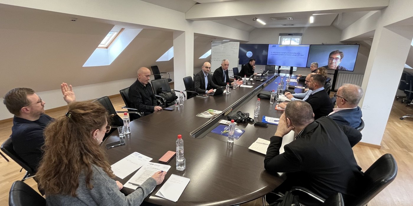
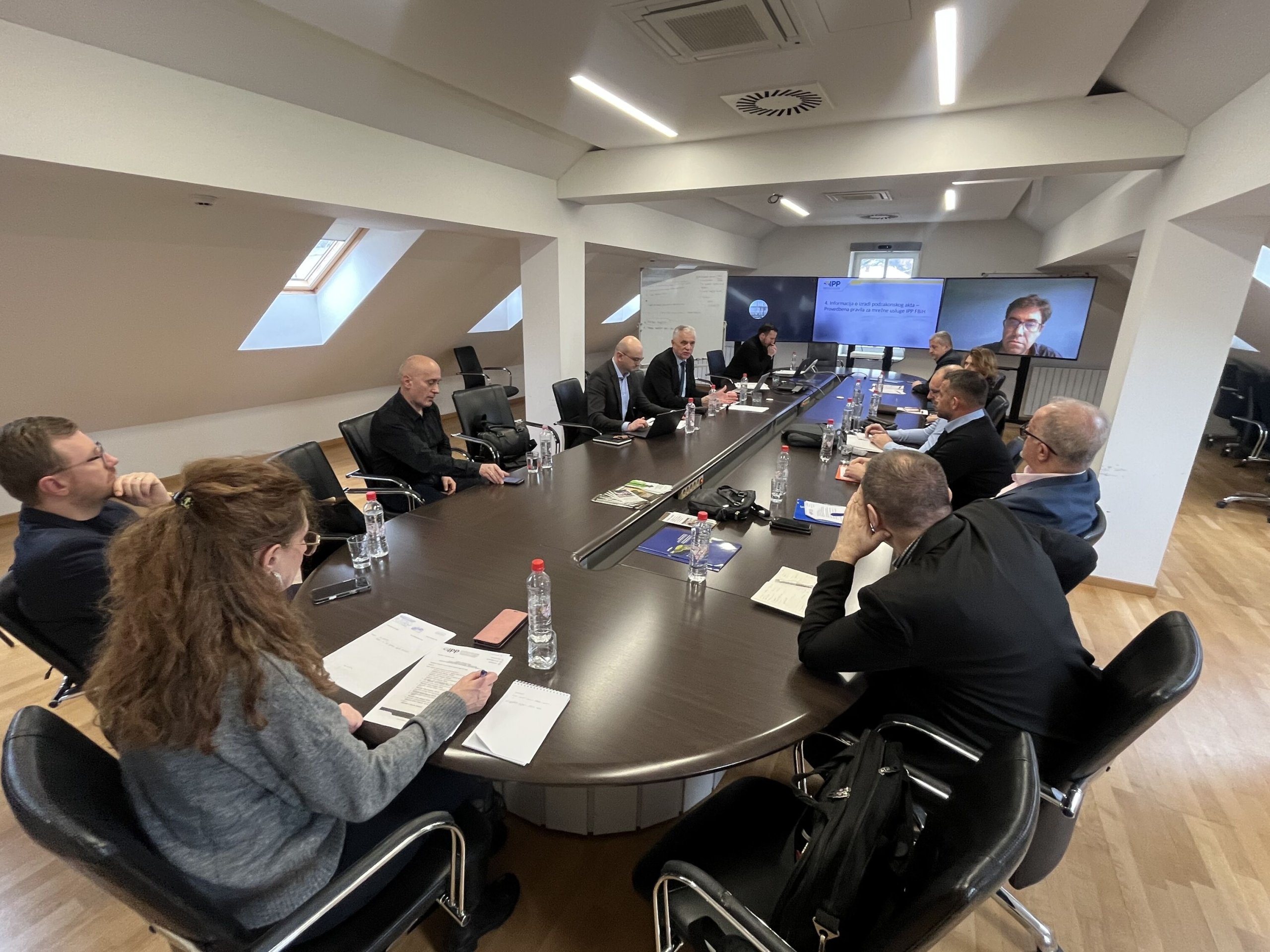
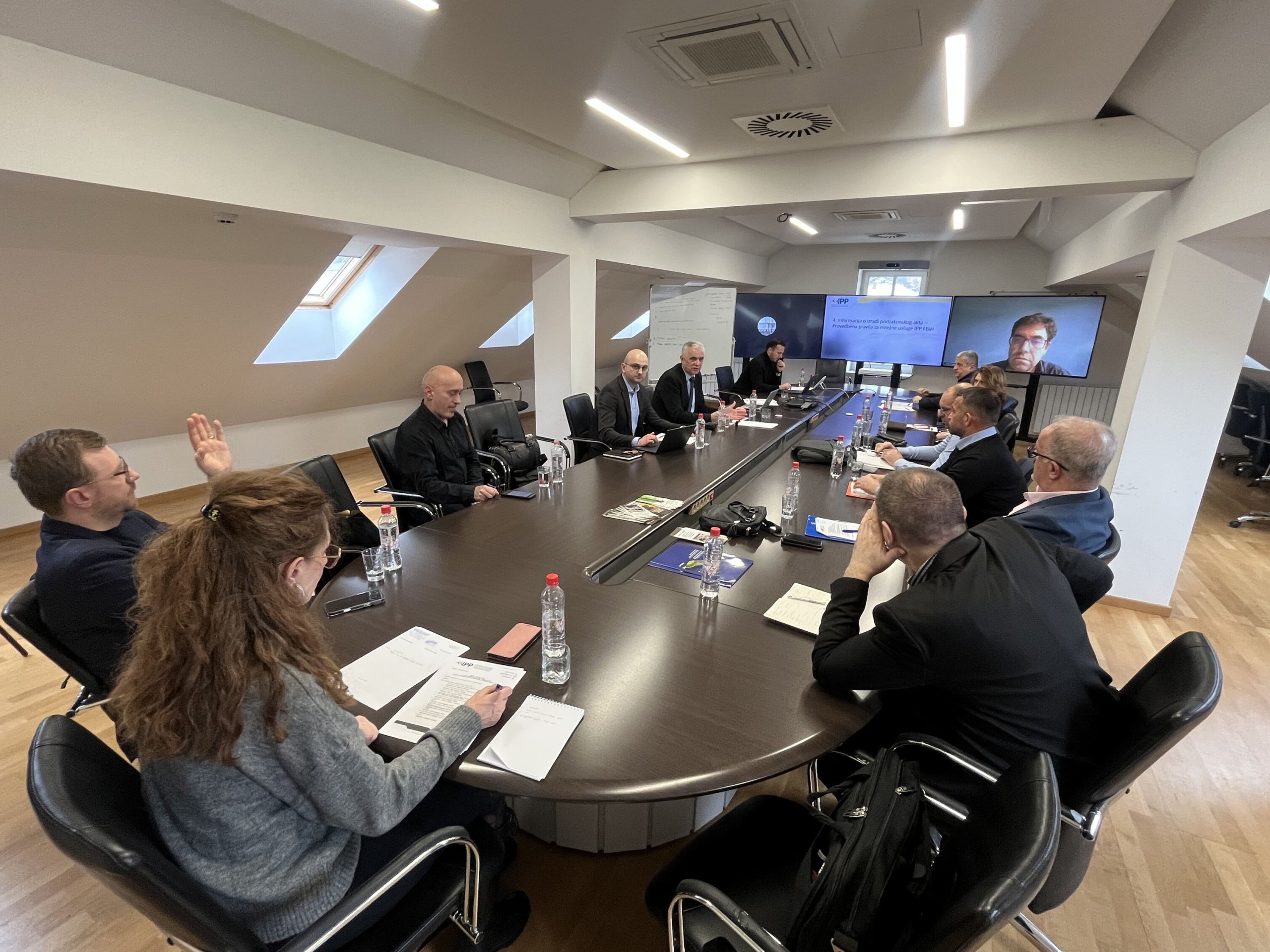
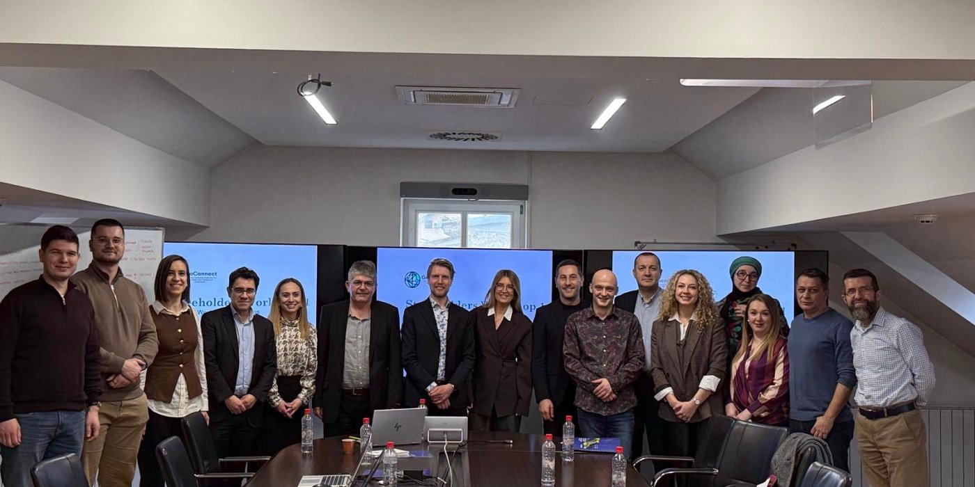
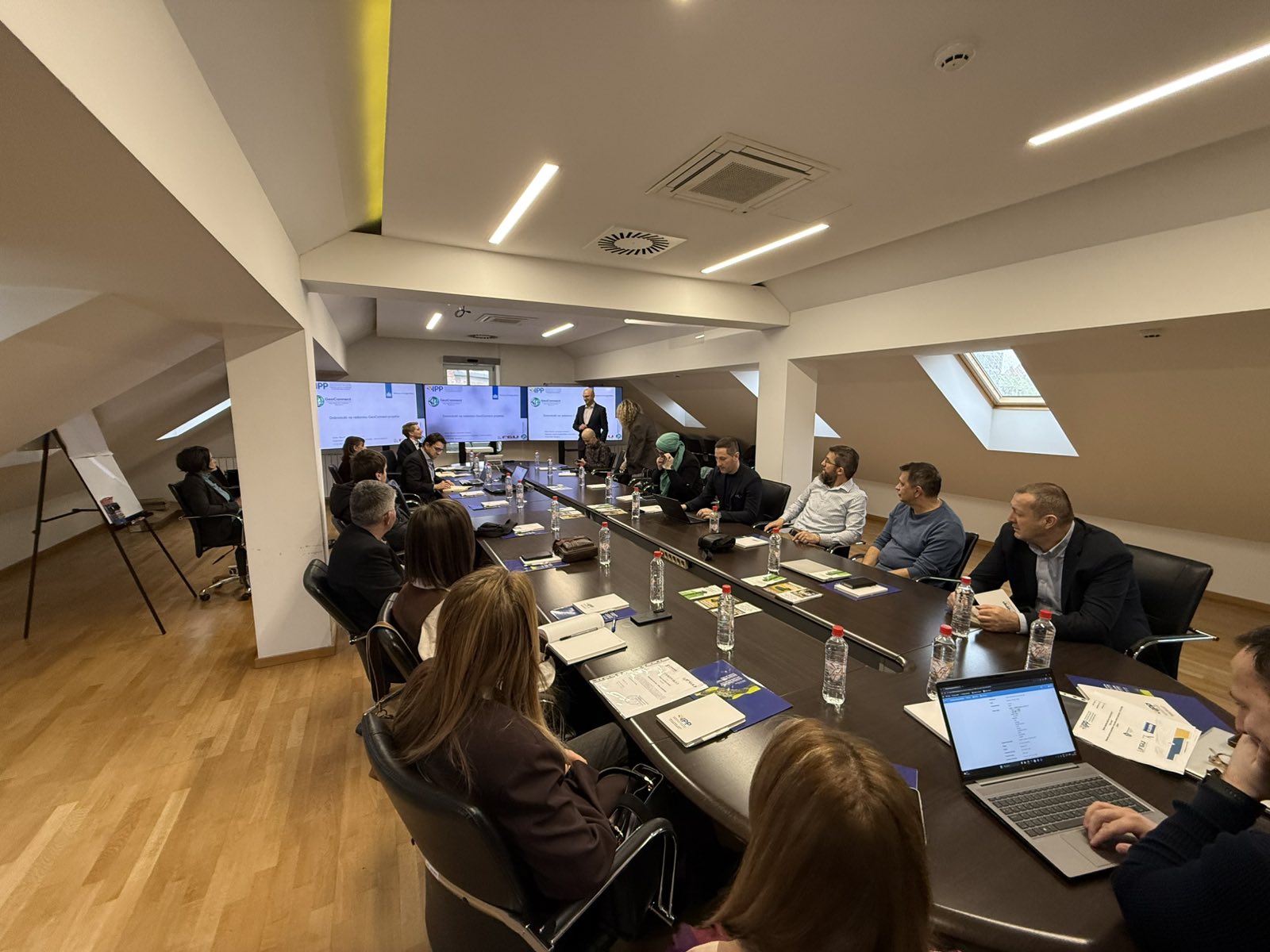
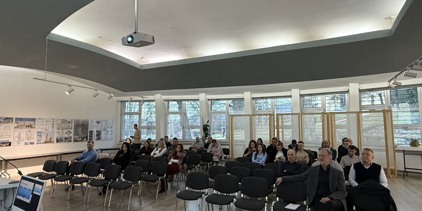
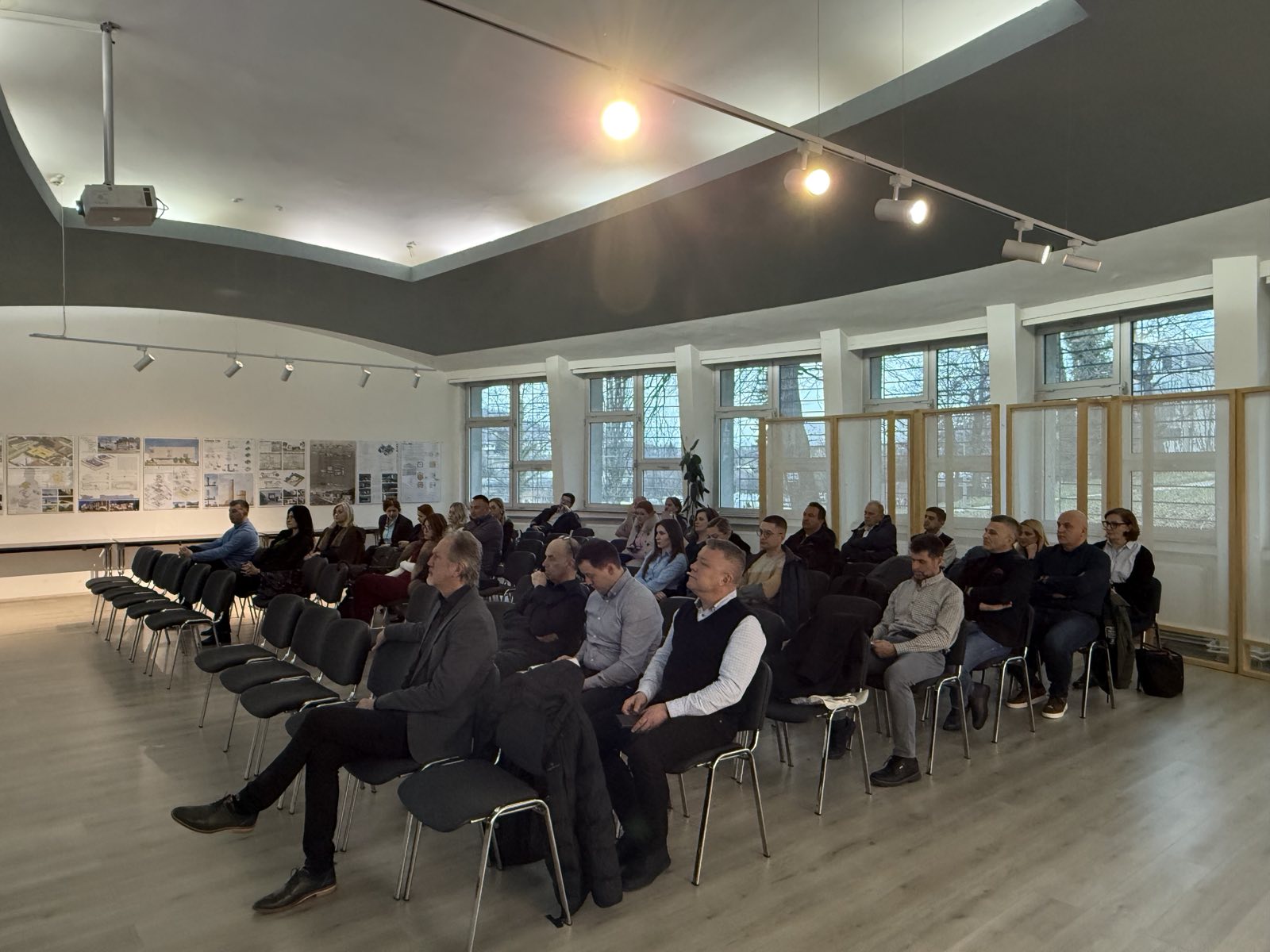
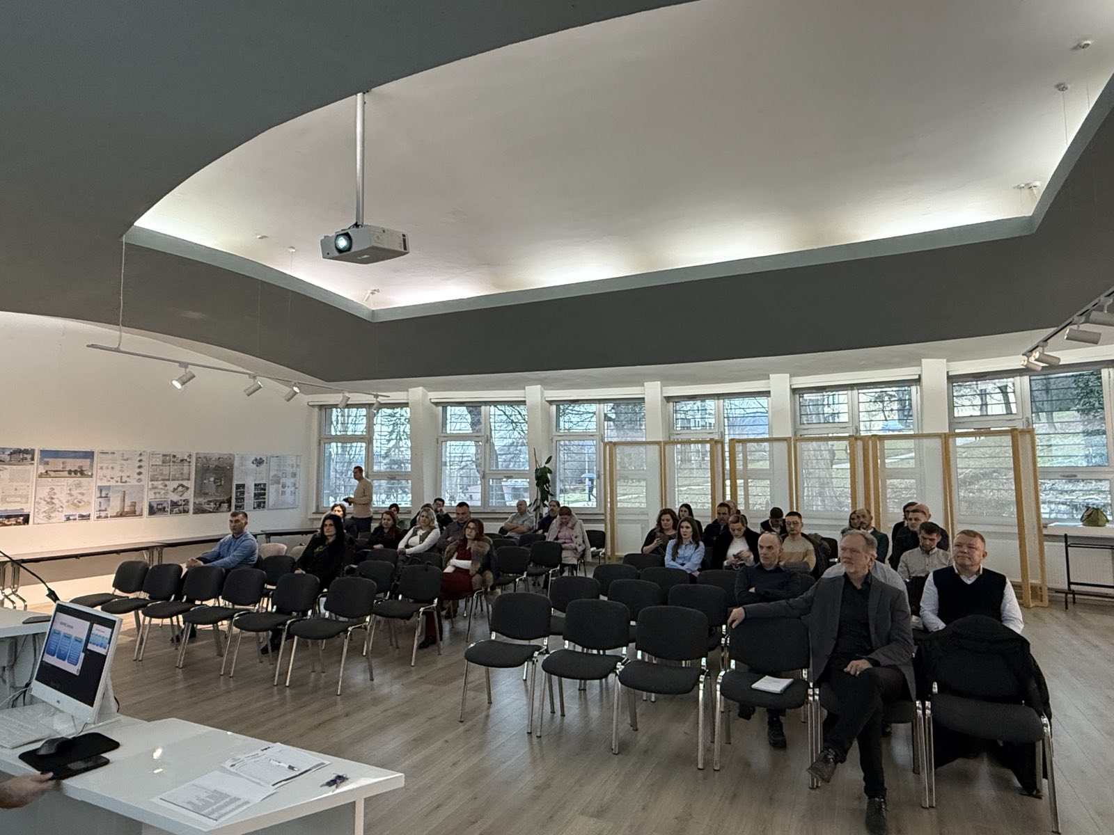
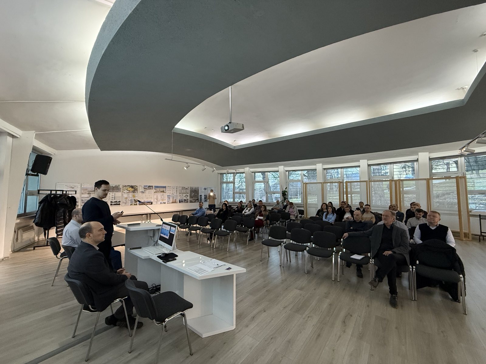
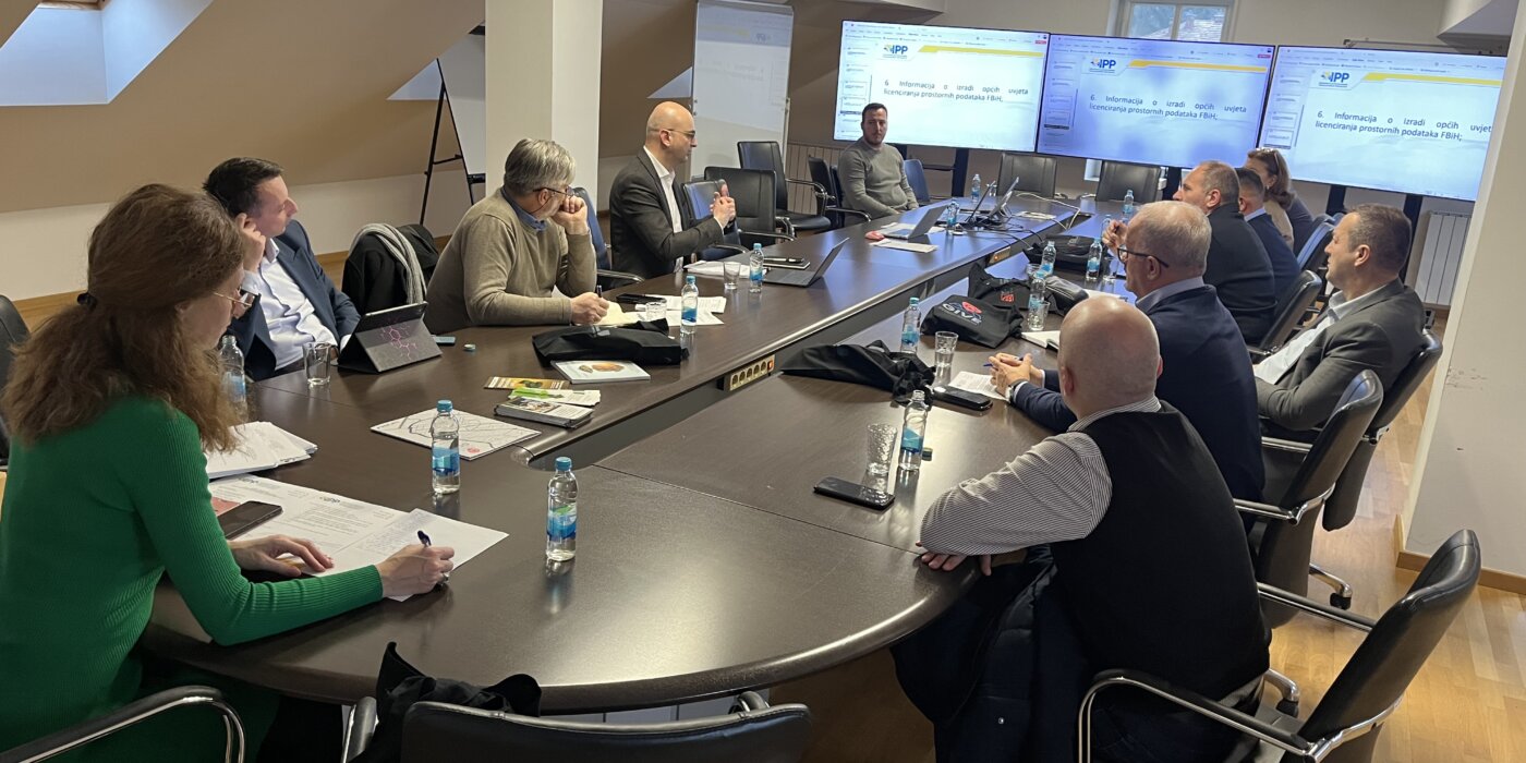
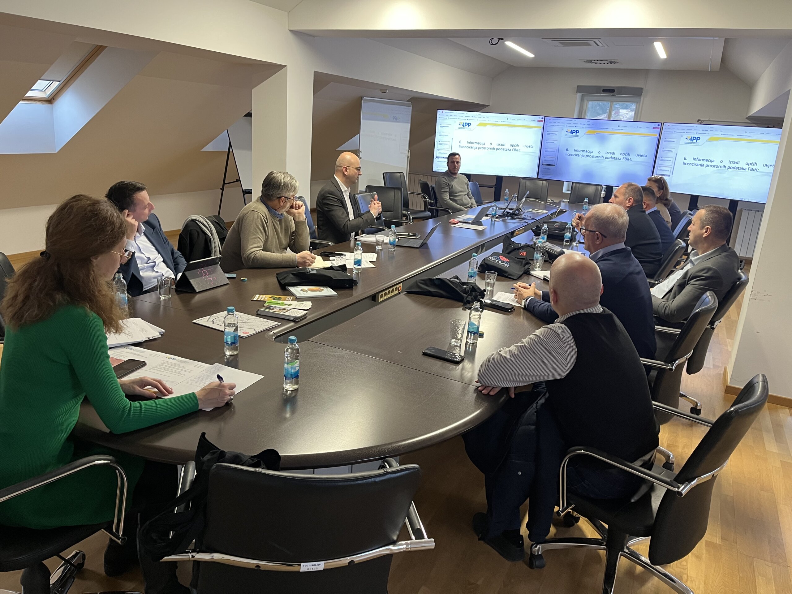
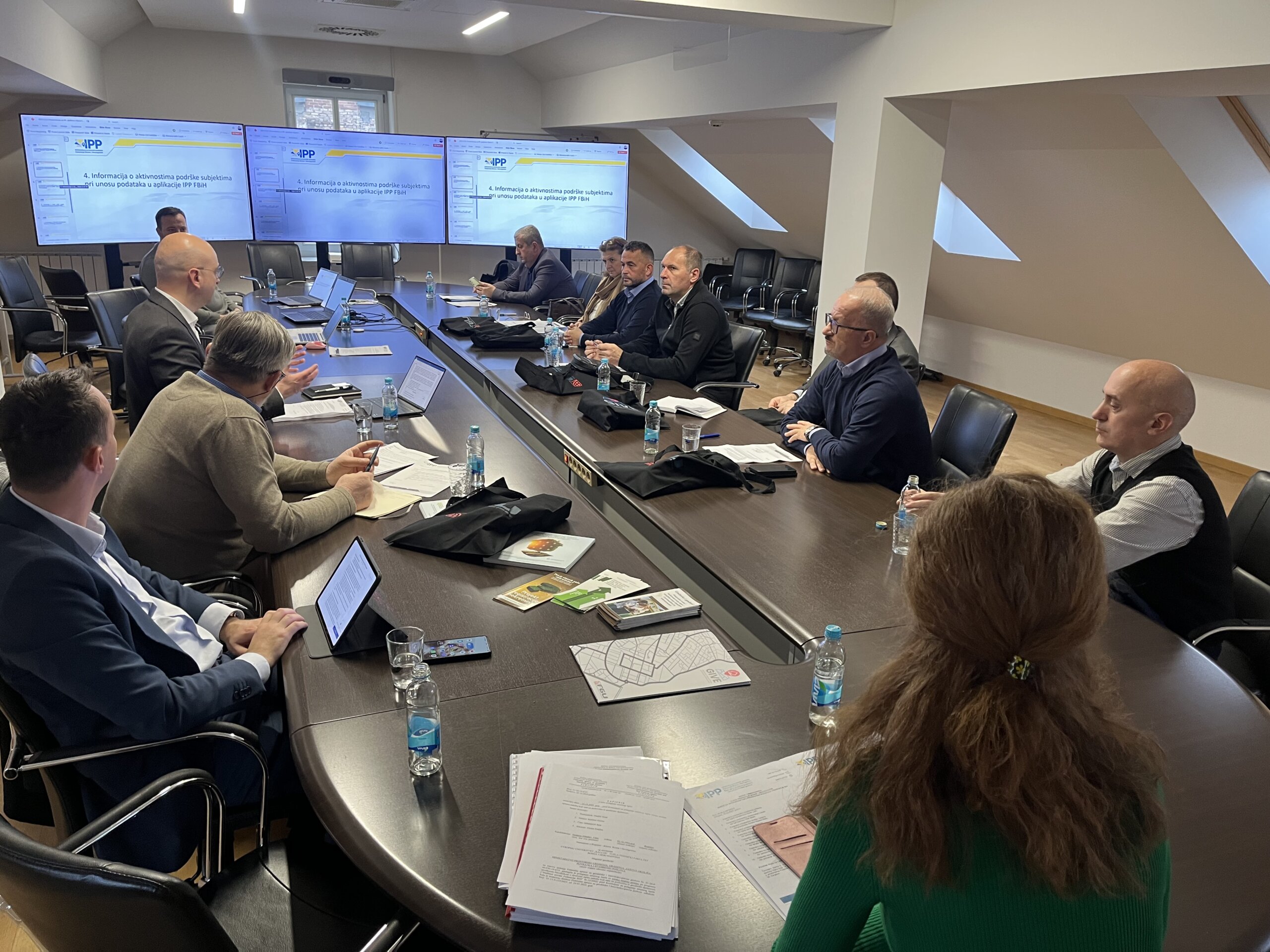
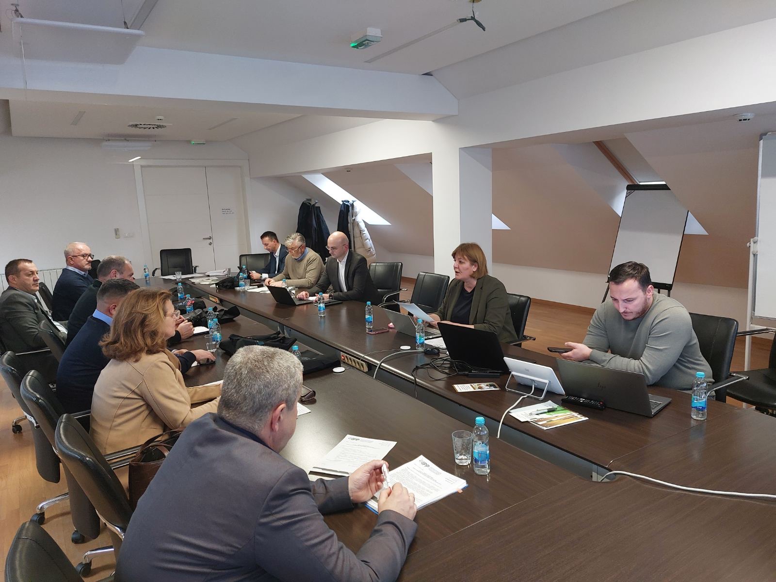
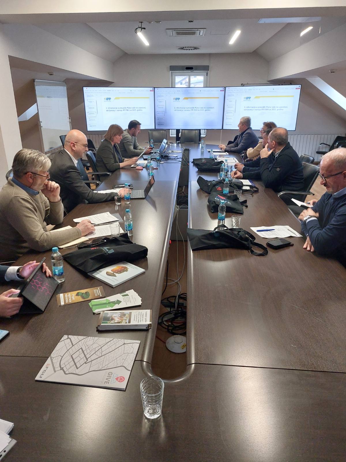
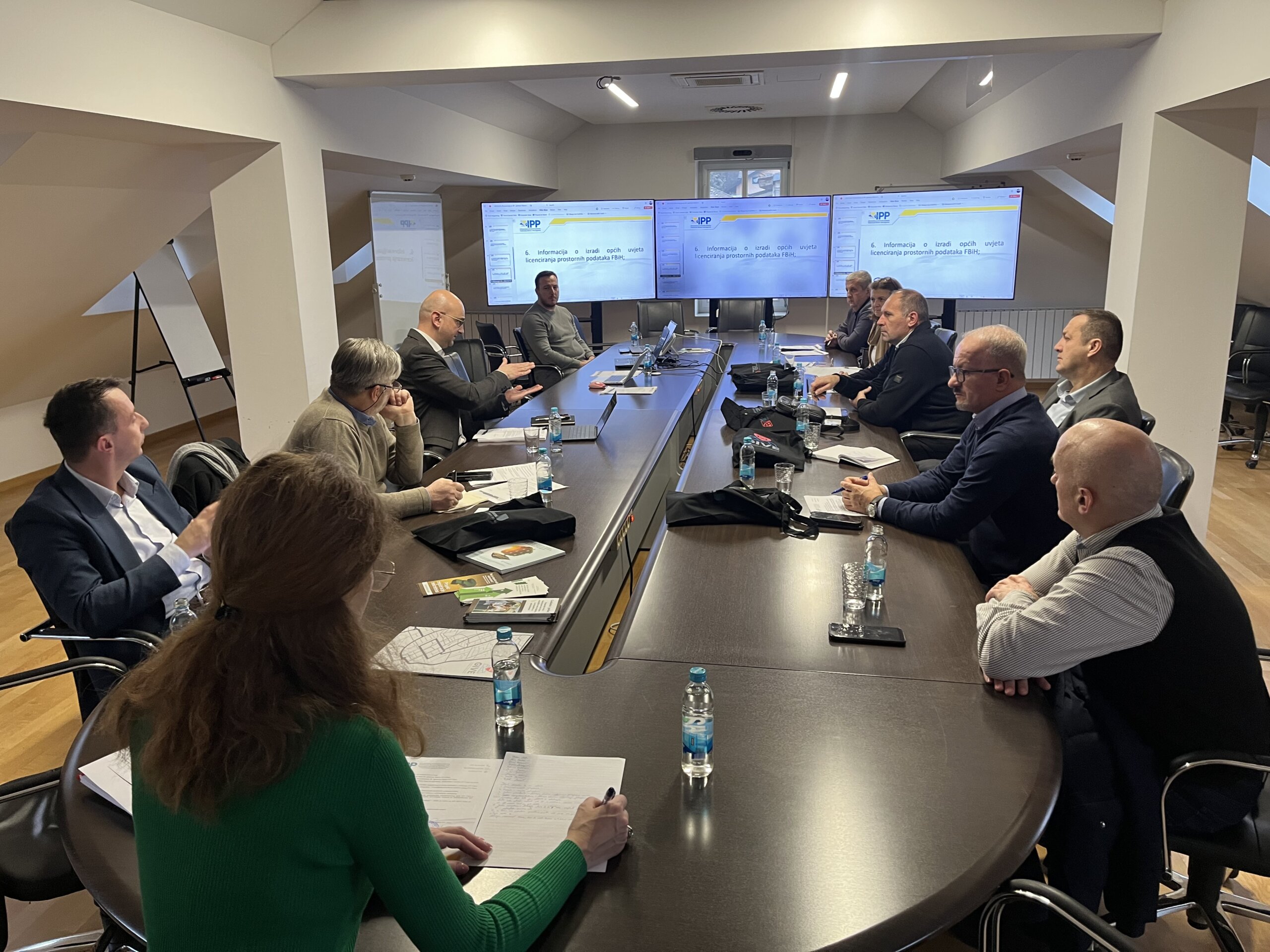
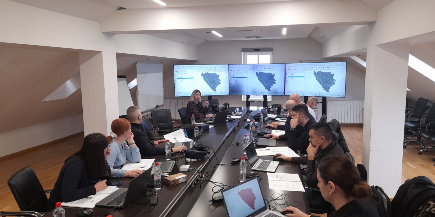
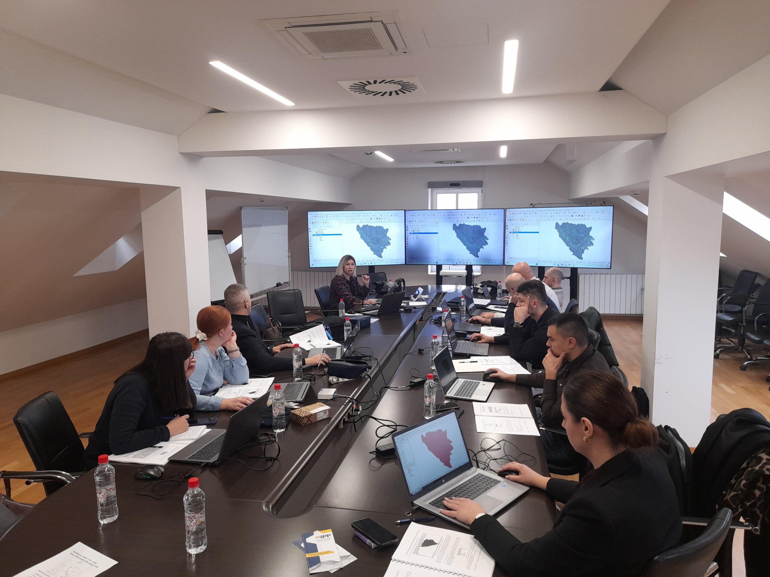
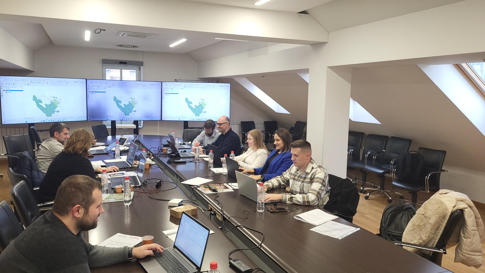
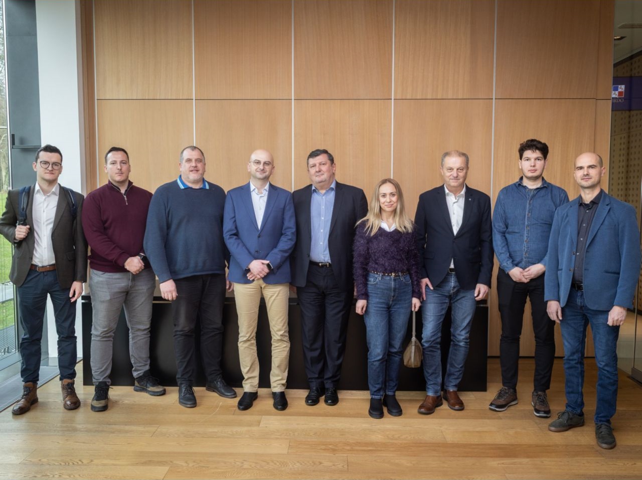
On February 6, 2026, full-day workshops for stakeholders of the Spatial Data Infrastructure of the Federation of Bosnia and Herzegovina (SDI FBiH) were held at the Faculty of Civil Engineering, University of Sarajevo. The workshops were implemented as part of the GeoConnect project – Connecting Geoinformatics Expertise for Responsible and Transparent Governance, which aims to strengthen the professional capacities of institutions and improve spatial data management through the application of standards, interoperability, and practical solutions in everyday work.
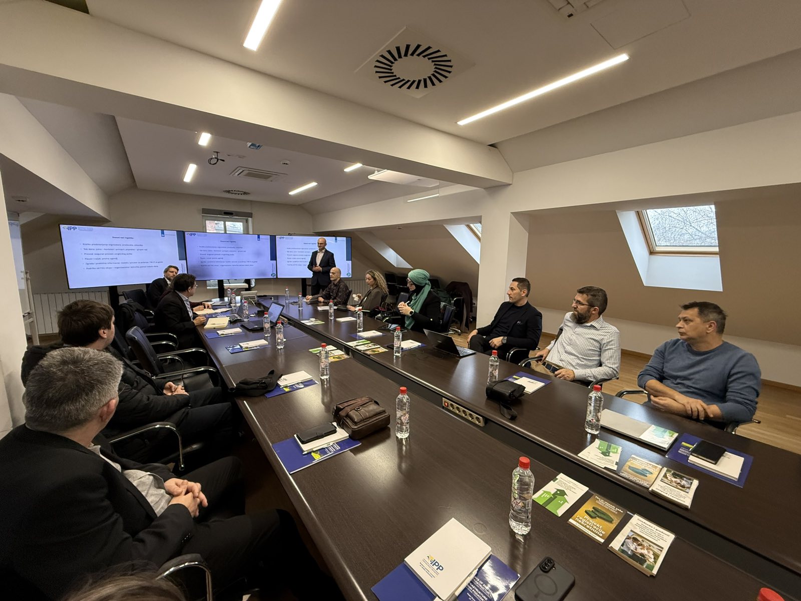
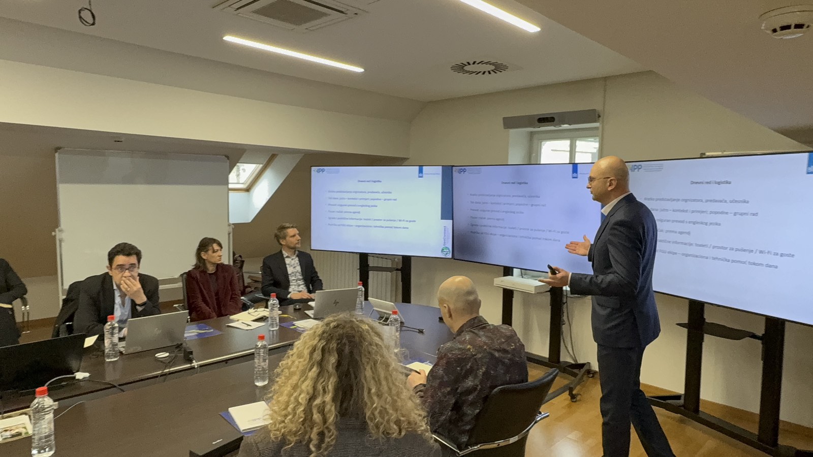
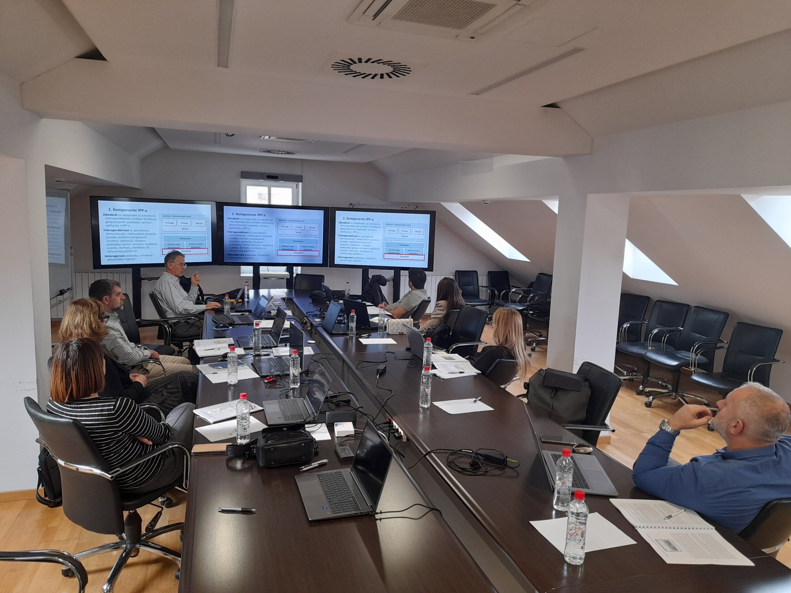
The program was structured into several thematic units that correspond to the key practical needs of institutions. In the introductory part, the basic concepts of the SDI FBiH were presented, along with the role of metadata and their importance for the discovery, understanding, and use of spatial data, as well as for the high-quality publication of datasets and network services. Special emphasis was placed on metadata standards and elements that enable a consistent and unambiguous description of datasets and services, highlighting the importance of metadata quality and the responsibility of institutions for their accuracy and currency.
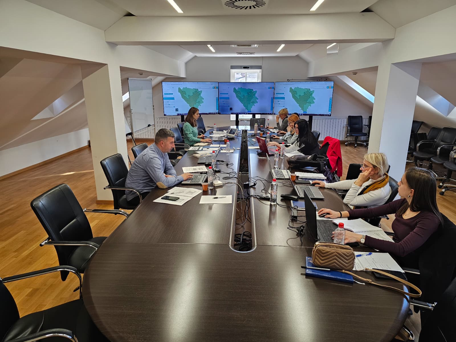
In the continuation of the workshops, the topic of the practical benefits of the SDI approach was addressed, supported by examples of good practice from the international context. Through the discussion, it was emphasized that interoperable data and standardized services bring measurable benefits, such as faster exchange of information between institutions, reduced duplication of data collection, increased transparency and data availability, and higher-quality inputs for planning and decision-making. Particular emphasis was placed on the need to connect users and institutions around concrete use cases, in order to ensure that standards and tools are applied to real processes and practical challenges.
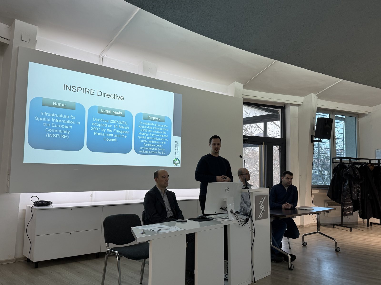
The workshops also included a segment dedicated to interoperability and network services, within which the key elements of modern interoperability frameworks were presented, along with current trends in the European context (including the concept of data spaces) and principles that promote data usability and reuse. In this context, the FAIR principles were addressed, together with a review of relevant standards and technologies for the publication and exchange of spatial data, including OGC web services (WMS, WFS, WCS, Atom) and the modern approach based on the OGC API. Through practical examples, it was further demonstrated how these standards and services can be applied within the SDI FBiH framework and how they contribute to more reliable and efficient data exchange between institutions.
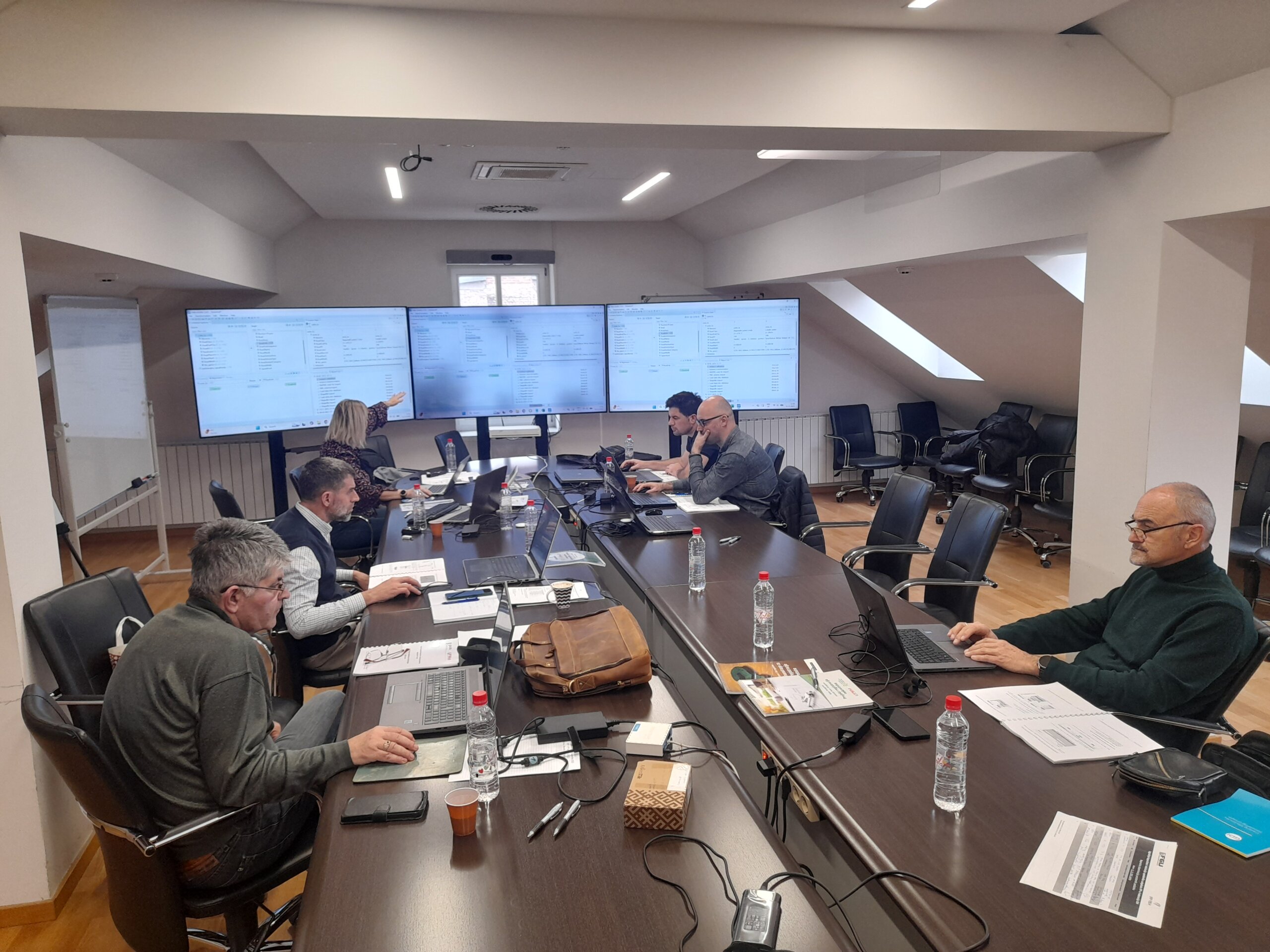
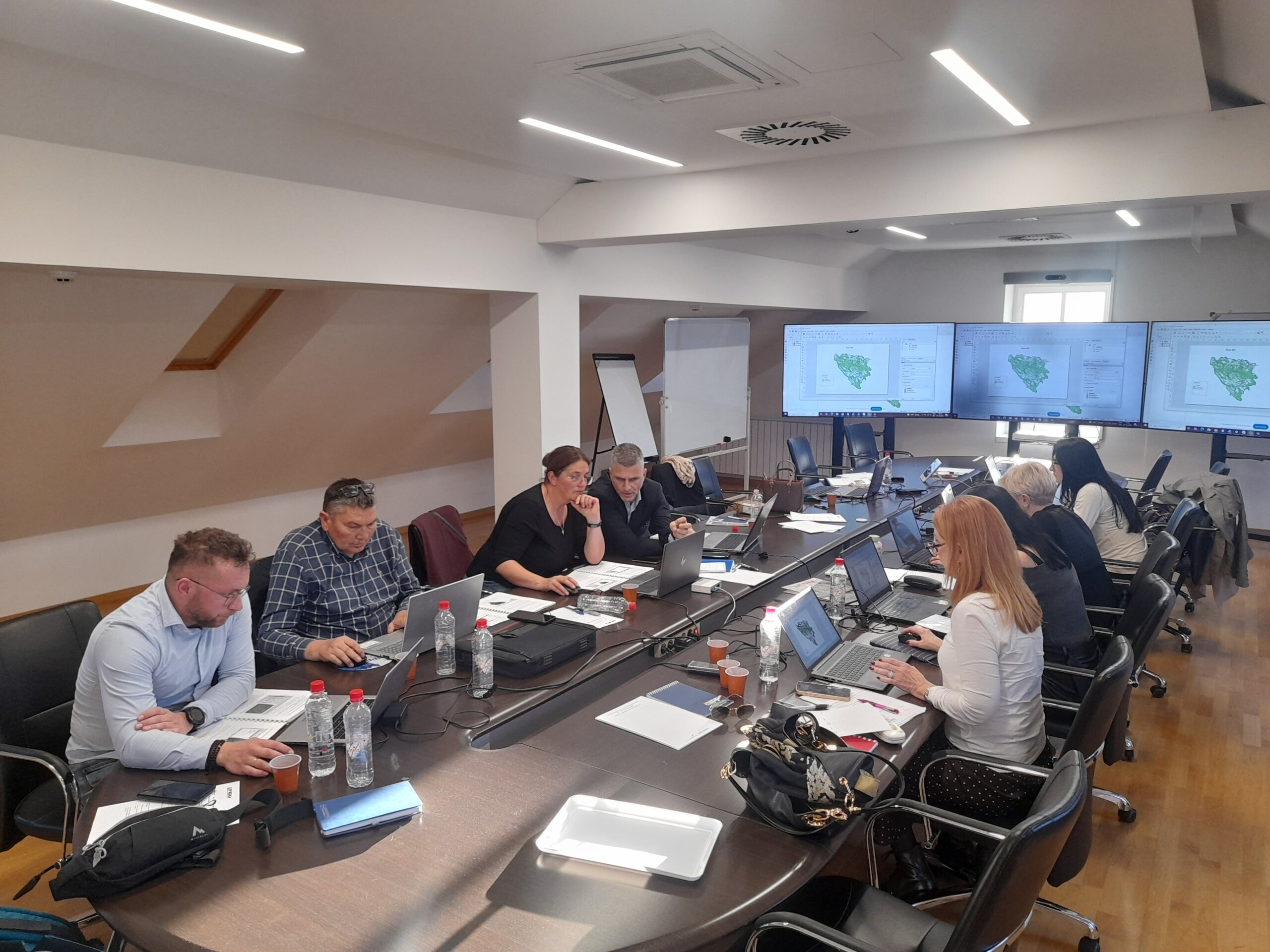
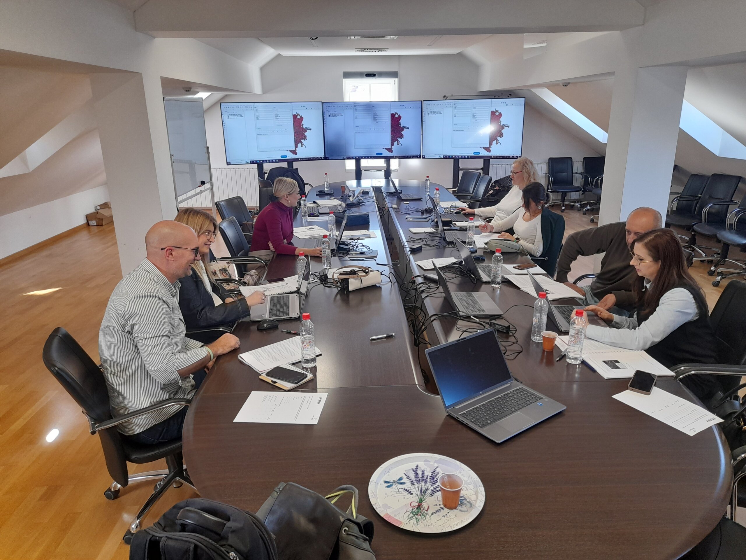
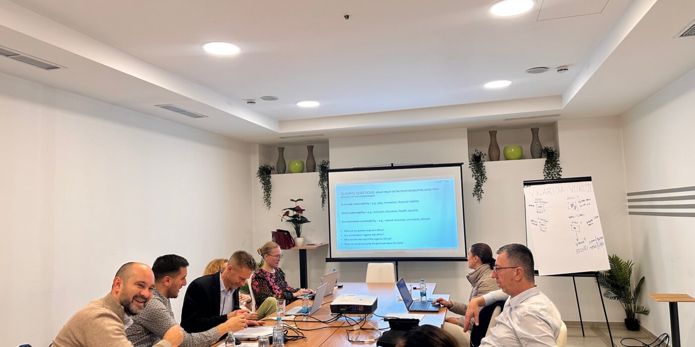
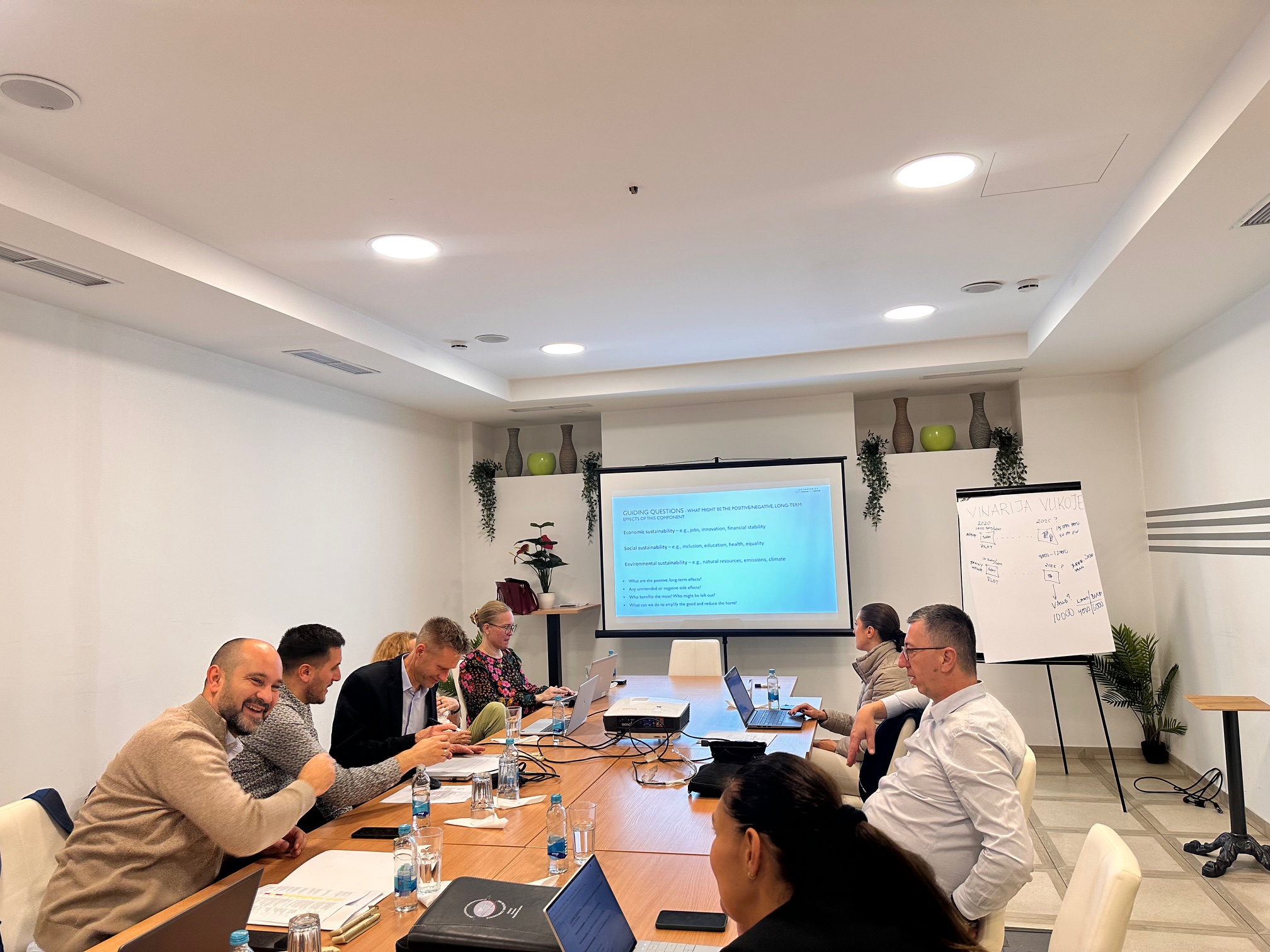
As part of the interactive segment of the workshops, participants had the opportunity to exchange experiences, raise questions from their own practice, and discuss challenges and possible solutions related to the application of standards, publication of metadata, and development of network services. Particular emphasis was placed on the importance of coordination, clearly defined rules and roles, as well as continuous capacity building, with the aim of achieving a harmonized approach and the sustainable development of the SDI framework in the Federation of Bosnia and Herzegovina.
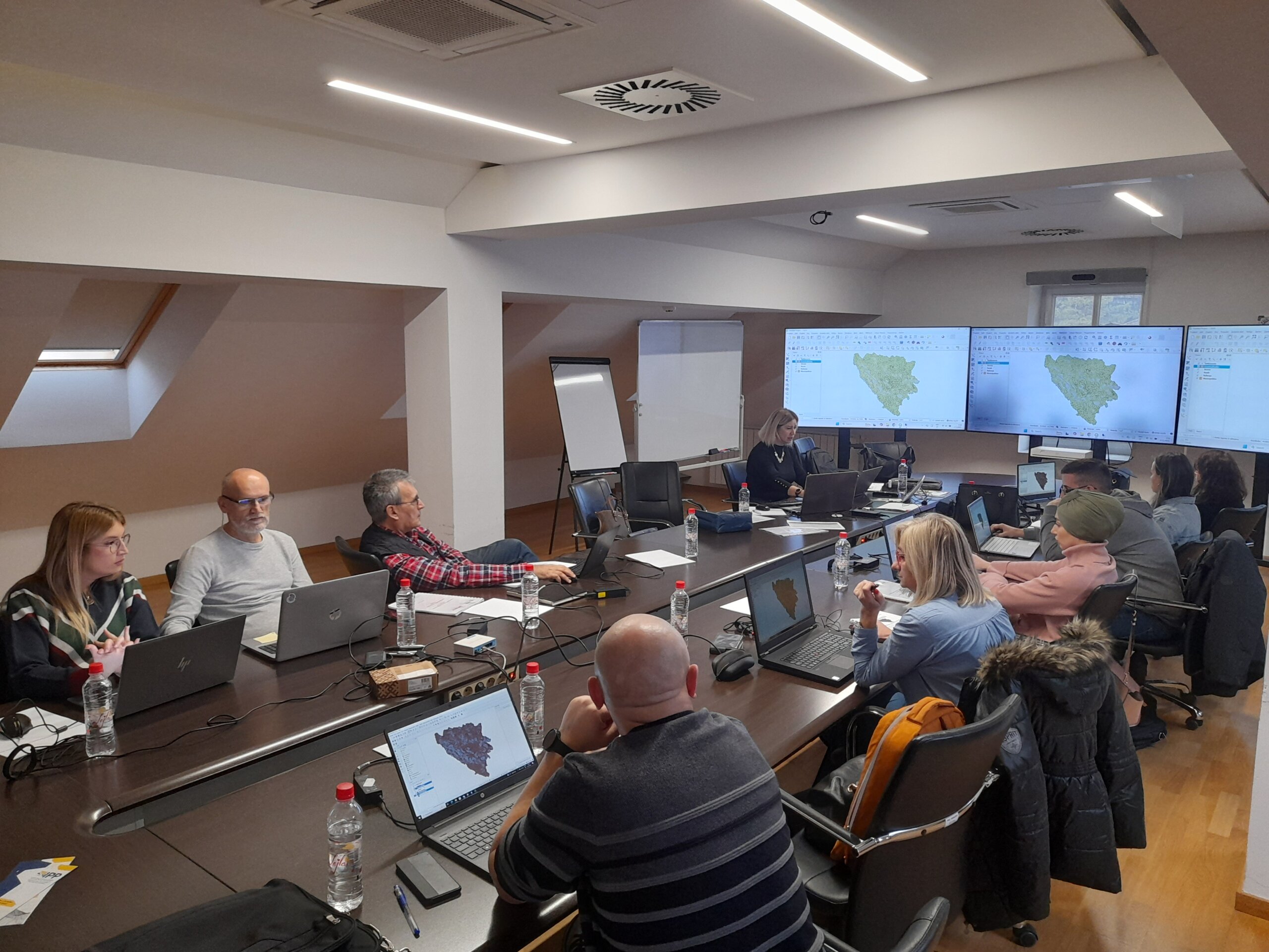
The workshops concluded with a joint discussion and the identification of next steps, with a focus on the practical applicability of the topics addressed within institutions and the need to continue activities through concrete initiatives based on use cases, strengthened governance, and further collaboration within the SDI community. By organizing these workshops, the Federal Administration for Geodetic and Real Property Affairs reaffirmed its commitment to supporting SDI FBiH stakeholders through a proactive approach, partnership-based cooperation, and continuous education, in order to modernize processes, standardize data, and enhance interoperable exchange of spatial data and services.
THE FORTY-NINTH SESSION OF THE SDI FBiH COUNCIL HELD
On December 22, 2025 the forty-ninth session of the Spatial Data Infrastructure (SDI) Council of the Federation of Bosnia and Herzegovina was held.
During the session, the Council discussed the following agenda items:
- Adoption of the agenda for the 49th session of the SDI FBiH Council;
- Approval of the minutes from the 48th session of the SDI FBiH Council;
- Information on the implementation of the Work Plan for the establishment, maintenance and development of SDI FBiH for 2025;
- Information on support activities for stakeholders related to data entry into SDI FBiH applications;
- Information on the preparation of a by-law – Implementing Rules for SDI FBiH network services (draft);
- Information on the preparation of general conditions for licensing spatial data in the Federation of BiH;
- Information on CEN/ISO standards and the Decision on the adoption of standards;
- Information on the initiative to include representatives of the SDI FBiH coordination body in the Technical Committee BAS/TC 1 (Information Technology) of the Institute for Standardization of Bosnia and Herzegovina (ISBiH);
- Information on the “European Data Union Strategy” – its relevance for SDI FBiH and its connection with INSPIRE and other EU regulations;
- Other.
Through discussion of the agenda items, the importance of the continuous development of SDI FBiH was emphasized, with particular focus on improving network services, applying international standards and strengthening coordination with institutions and SDI stakeholders, in order to ensure further alignment with European initiatives and regulations.
Capacity Building of SDI Stakeholders in the Federation of Bosnia and Herzegovina in 2025
Following the expressed interest of SDI stakeholders, the Federal Administration for Geodetic and Property Legal Affairs continued its capacity-building activities in the field of Spatial Data Infrastructure of the Federation of Bosnia and Herzegovina (FBiH SDI) during November. The Federal Administration secured and implemented, with budgetary funds, the Basic and Advanced training programs. The trainings were delivered by Gauss d.o.o. Tuzla, a company with extensive experience in capacity building in the field of SDI and spatial data in general. The main objective of the trainings was to enhance competencies in spatial data management, including data preparation, visualization and sharing, as well as to provide fundamental knowledge on spatial data infrastructure.
The first phase of the Framework Agreement was implemented during Year 2025 and lasted until 11 December 2025. During this period, a total of 20 one-day training sessions were organized in the field of spatial data infrastructure.
The trainings covered Basic and Advanced training, SDI/INSPIRE training, Advanced Database Management, and Advanced Dissemination of Spatial Data. The sessions were held between 20 October and 11 December 2025.
A total of 35 institutions from the federal, cantonal and state levels participated in the trainings, including ministries, administrations, institutes, public companies and agencies. Particularly significant was the participation of institutions responsible for managing spatial data in the fields of geodesy, spatial planning, environmental protection, forestry, water management, transport, statistics, health, and cultural and historical heritage.
Study Visit to the Surveying and Mapping Authority of the Republic of Slovenia within the DELEF Project
A delegation of the Federal Administration for Geodetic and Real Property Affairs (Working Group for SDI within the DELEF project) visited the Republic of Slovenia from December 2-4, 2025 as part of the implementation of the DELEF project. The host of the study visit was the Surveying and Mapping Authority of the Republic of Slovenia, with participation from partner institutions as well as representatives from academia and the private sector. The programme included attendance at the SLO4D conference, working meetings at the Surveying and Mapping Authority headquarters in Ljubljana, visits to various geodetic companies, and a working session at the Faculty of Electrical Engineering and Computer Science (FERI) of the University of Maribor.
On the first day of the visit, the FGA delegation participated in the SLO4D conference held in Brdo pri Kranju. Within the conference programme were presented the concept and experiences of the SLO4D project, the use of satellite imagery (PlanetScope), and the application of 3D building models in different sectors. Particularly valuable was a brief discussion with the Director General of Surveying and Mapping Authority of the Republic of Slovenia, during which experiences were exchanged on reforms in cadastral and cartographic infrastructure and the role of digital transformation in modernization of land administration.
On the second day, at the Surveying and Mapping Authority of the Republic of Slovenia headquarters in Ljubljana, an introductory session was held focusing on horizontal integration and the common building blocks of the SLO4D system, as well as the national geoportal platform Geo Slovenia. The Authority’s team, led by spatial data experts, presented the system architecture, the establishment of common components, and data and service management models at the national level. The programme also included a presentation by Flycom dedicated to LiDAR surveying and 3D building modelling, with emphasis on data quality, applications in spatial planning and environmental protection, and integration with other official datasets.
Later that day, the FGA delegation held a working meeting with the company IGEA, focused on geoportal infrastructure and software architecture. Topics discussed included system design, security and authentication, monitoring and supervision, as well as the implementation of vector tiles and 3D visualization. Special attention was given to web services and data sharing (OGC/OGC API), INSPIRE workflows, ETL harmonization and publishing processes, and performance optimization. The exchange of experiences on these topics is of particular importance for the further development of the SDI Geoportal of the Federation of Bosnia and Herzegovina and for establishing modern spatial data services.
On the third day of the visit, the delegation visited the Faculty of Electrical Engineering and Computer Science (FERI) at the University of Maribor. FERI experts presented advanced concepts for managing and serving large spatial datasets- point clouds (LAZ/E57), ortho photos, digital terrain and surface models (DTM/DSM), as well as 3D objects and city models. They also introduced approaches to data processing, visualization and access patterns, as well as the Gemma Fusion solution and the new supercomputing infrastructure.
The study visit to Surveying and Mapping Authority of the Republic of Slovenia provided the FGA delegation with valuable insight into practical solutions and best practices in the field of spatial data infrastructure, 3D data management, and modern geoportal services. The knowledge will serve as an important contribution to the continued implementation of the DELEF and GIVE projects, the improvement of the SDI of the Federation of Bosnia and Herzegovina, and the development of new digital services for citizens, institutions and the private sector.
Workshop on Planning DELEF Project Activities for 2026 Held
Hosted by the Republic Administration for Geodetic and Property Affairs of the Republic of Srpska (RGU RS), a workshop for planning activities within the project Digital Enhancement of Land Administration for the Future of the EU – DELEF was held in Trebinje from 20 to 22 October 2025. The project is implemented with the support of the Swedish International Development Cooperation Agency (Sida) and in partnership with Lantmäteriet from Sweden.
The workshop was attended by representatives of RGU RS, the Federal Administration for Geodetic and Real Property Affairs (FGU), and Lantmäteriet as the project’s technical partner.
The aim of the workshop was to align the activity plan for 2026 in accordance with the provisions of the Project Implementation Agreement and the framework defined by Sida. During the meeting, the progress of implementation to date was analyzed, and it was concluded that the activities are proceeding according to the planned schedule, with no need for major adjustments.
The DELEF Project aims to improve land administration and spatial infrastructure in Bosnia and Herzegovina through digital transformation, strengthening institutional capacities, and applying European interoperability standards.
The project is implemented through four support components:
- Capacity building – strengthening institutional, professional, and technical capacities of the geodetic authorities;
- Support for mass property valuation – developing and testing valuation models and standards;
- Support for spatial data infrastructure (SDI) – enhancing interoperability, standardization, and exchange of spatial information;
- Support for geodetic infrastructure – modernization of reference systems and improvement of geodetic data quality control.
It was concluded that the planned activities for 2026 will further strengthen the institutional capacities and contribute to the successful achievement of the strategic goals of the DELEF Project, with continued technical support from Lantmäteriet and Sida, and close cooperation between the entity-level geodetic authorities.
Establishment of a Monitoring System for SDI FBiH Network Services
The Federal Administration for Geodetic and Real Property Affairs has established a system for monitoring the network services of the Spatial Data Infrastructure of the Federation of Bosnia and Herzegovina (SDI FBiH), available at: https://ippfbih.gov.ba/monitoring/.
This system enables continuous monitoring of the availability and functionality of network services (WMS, WFS, ATOM, etc.) published by institutions – SDI FBiH subjects. The goal of establishing the monitoring system is to ensure greater transparency, reliability, and quality of the data and services that form part of the spatial data infrastructure in the Federation of BiH.
The monitoring system provides:
• real-time tracking of network service status,
• automatic logging of possible service interruptions,
• analysis of service availability over a selected time period,
• support to institutions in maintaining a high level of interoperability and compliance with the INSPIRE Directive and relevant standards.
The establishment of this system represents an important step in strengthening the transparency and functionality of SDI FBiH, as it allows all participants and users to easily check the status and availability of services published within the SDI FBiH framework.
Further development plans include expanding system functionalities and integrating it with other components of the SDI portal, which will further enhance the quality and sustainability of the spatial data infrastructure of the Federation of BiH.
48th Session of the SDI Council of FBiH Held
On September 25, 2025, the 48th session of the SDI Council of the Federation of BiH was held in Mostar, within the framework of the “Days of the Spatial Data Infrastructure of the Federation of Bosnia and Herzegovina” Conference.
The Council discussed the following agenda items:
- Adoption of the agenda of the 48th session of the SDI Council of FBiH;
- Adoption of the minutes from the previous 47th session of the SDI Council of FBiH;
- Information on the appointment of a new member of the SDI Council of FBiH and introduction;
- Information on the implementation of the Work Plan for the establishment, maintenance, and development of SDI FBiH for 2025;
- Information on planned support activities for entities in entering data into SDI FBiH applications;
- Information on the drafting of a bylaw – Implementing Rules for SDI FBiH network services (first draft);
- Information on the signing of the Memorandum of Understanding and institutional cooperation within the GeoConnect project;
- Information on the ongoing 6th Conference “Days of SDI Federation of BiH” with proposed conclusions;
- Other.
Through discussion, Council members contributed to improving activities related to the implementation of the SDI of the Federation of BiH, with particular emphasis on the planned tasks for 2025, strengthening cooperation with SDI entities, and active participation in the program of the “Days of the Spatial Data Infrastructure of the Federation of Bosnia and Herzegovina” Conference.