Framework Study for Spatial Data Licensing – Survey Data Collection

Framework Study for Spatial Data Licensing - Survey Data Collection

Dear colleagues and representatives of SDI FBiH entities and other interested parties,

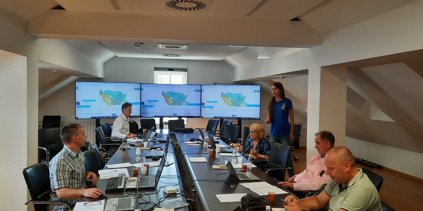
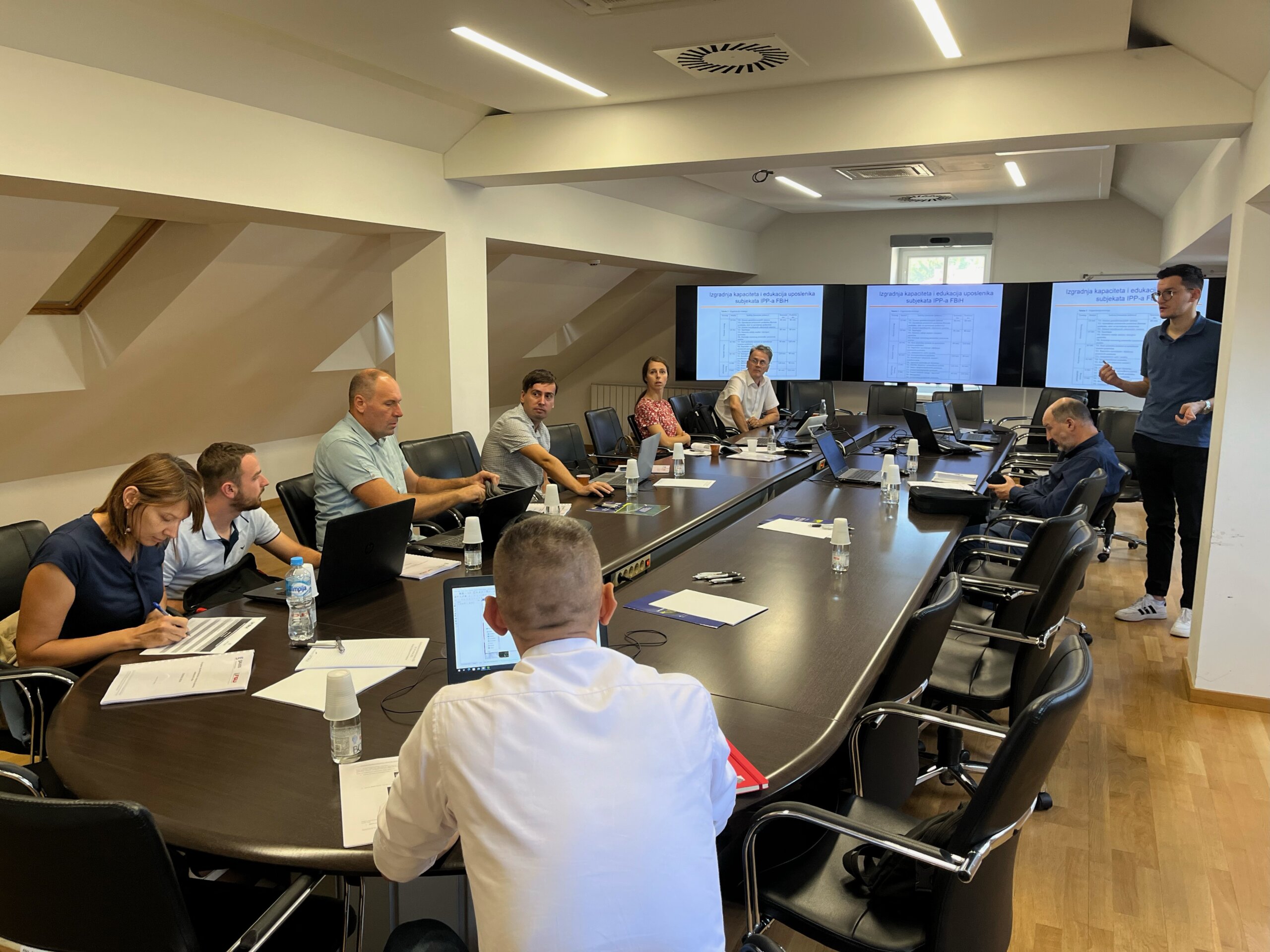
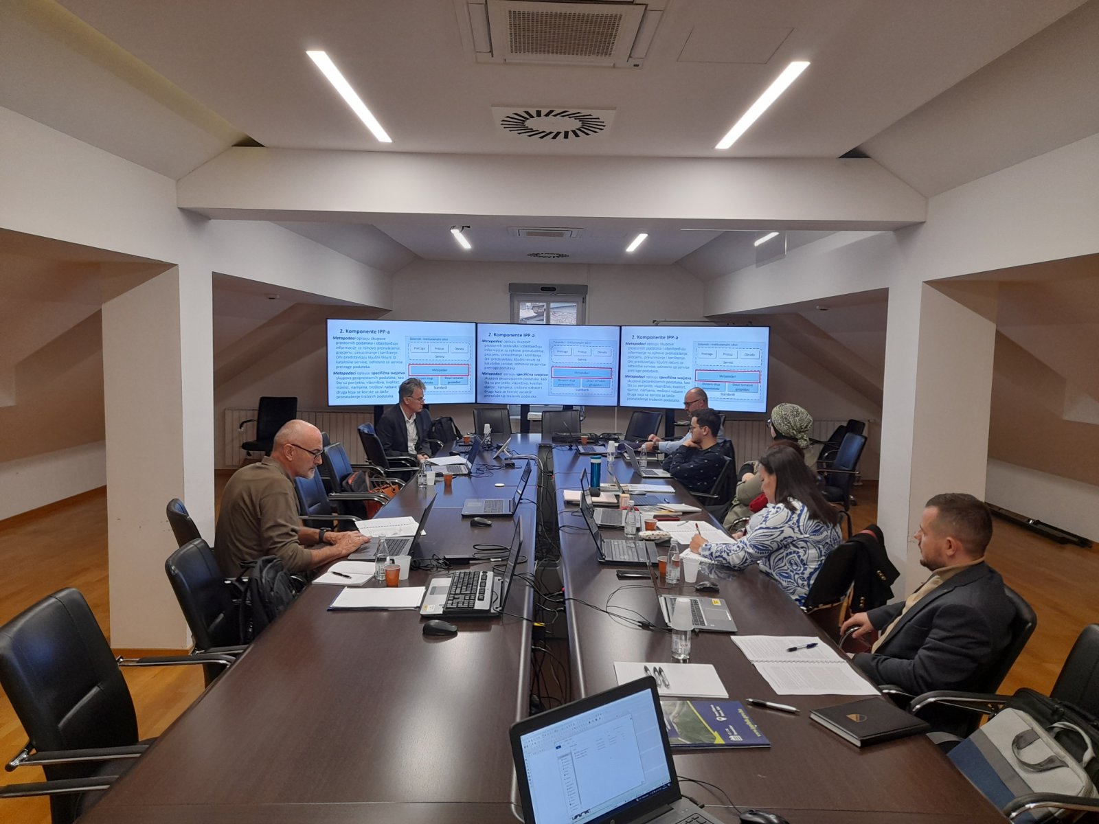
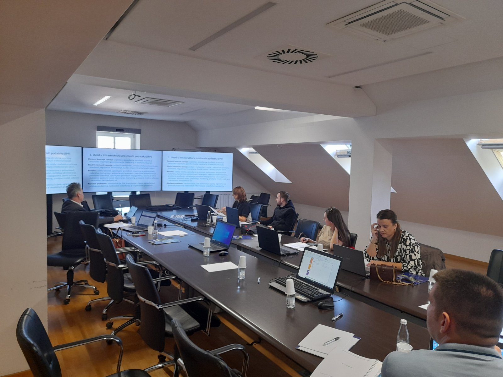
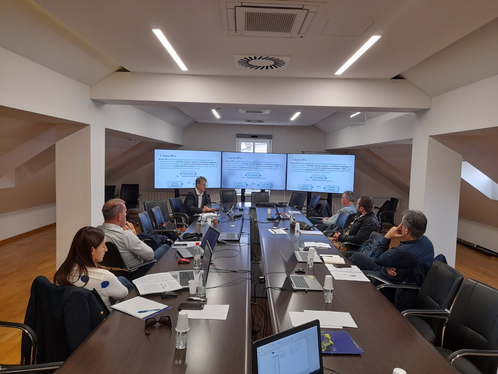
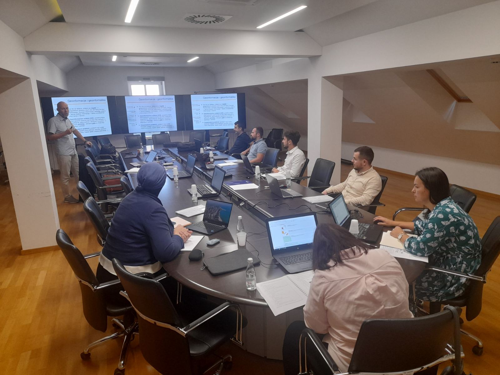
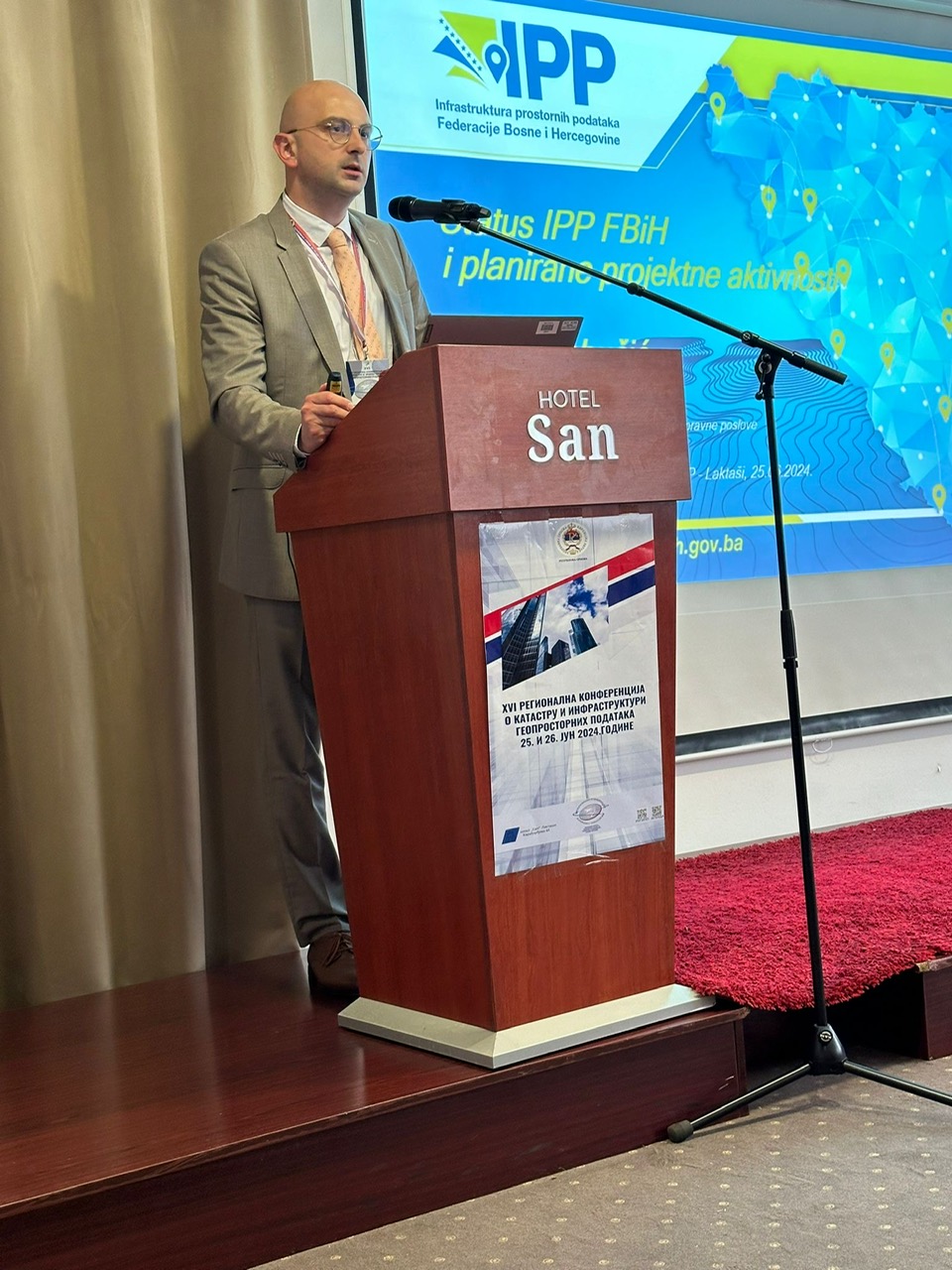
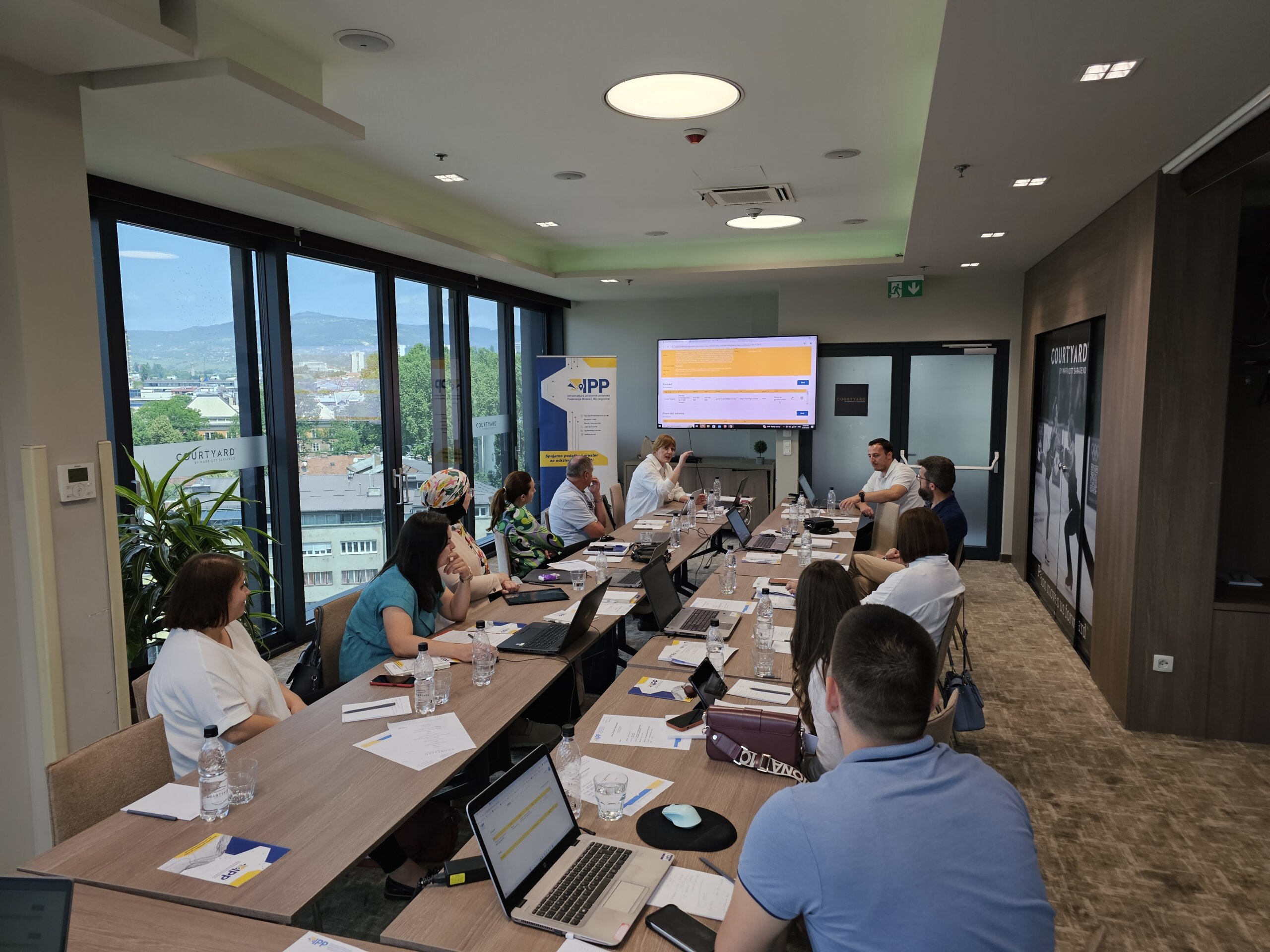
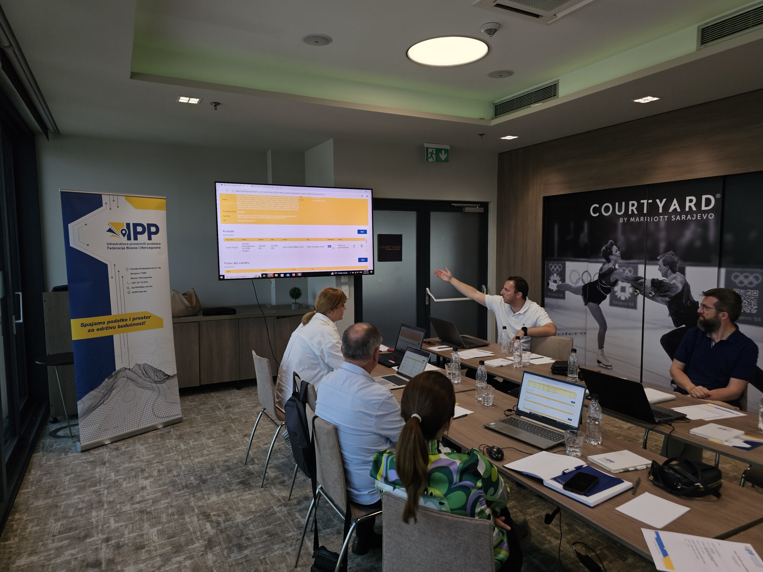
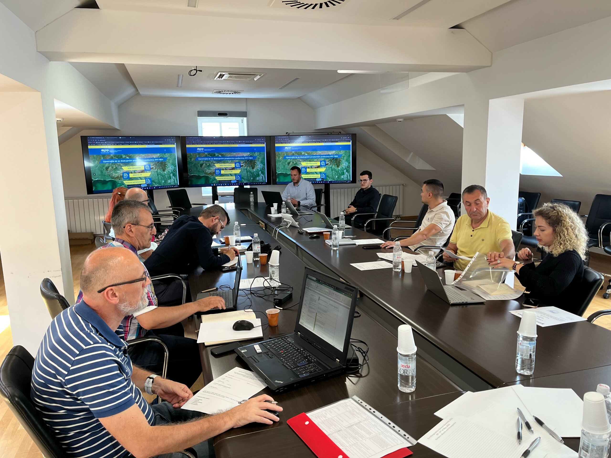
The Federal Administration for Geodetic and Property Affairs, as the coordinating body of the Spatial Data Infrastructure (in accordance with the Law on Spatial Data Infrastructure of the Federation of Bosnia and Herzegovina, Official Gazette of FBiH no. 55/21), as part of the implementation of the Work Plan for the establishment, maintenance, and development of SDI FBiH for the year 2024, is carrying out the activity of developing a framework study for spatial data licensing. The aim of this Study is to explore the possibilities and prerequisites for establishing a comprehensive and transparent licensing framework for spatial data within the Spatial Data Infrastructure of the Federation of Bosnia and Herzegovina. This framework will align with the EU INSPIRE Directive, ensuring interoperability and compliance with European standards, while simultaneously addressing the specific needs and challenges of FBiH. The primary purpose of the Study is to support easier exchange, reuse, and sharing of spatial data between different institutions, organizations, and individuals in FBiH. By defining clear rules and conditions for data usage, the intention is to reduce legal uncertainty and facilitate access to valuable information crucial for decision-making in various sectors, such as spatial planning, environmental management, economic development, and public administration.

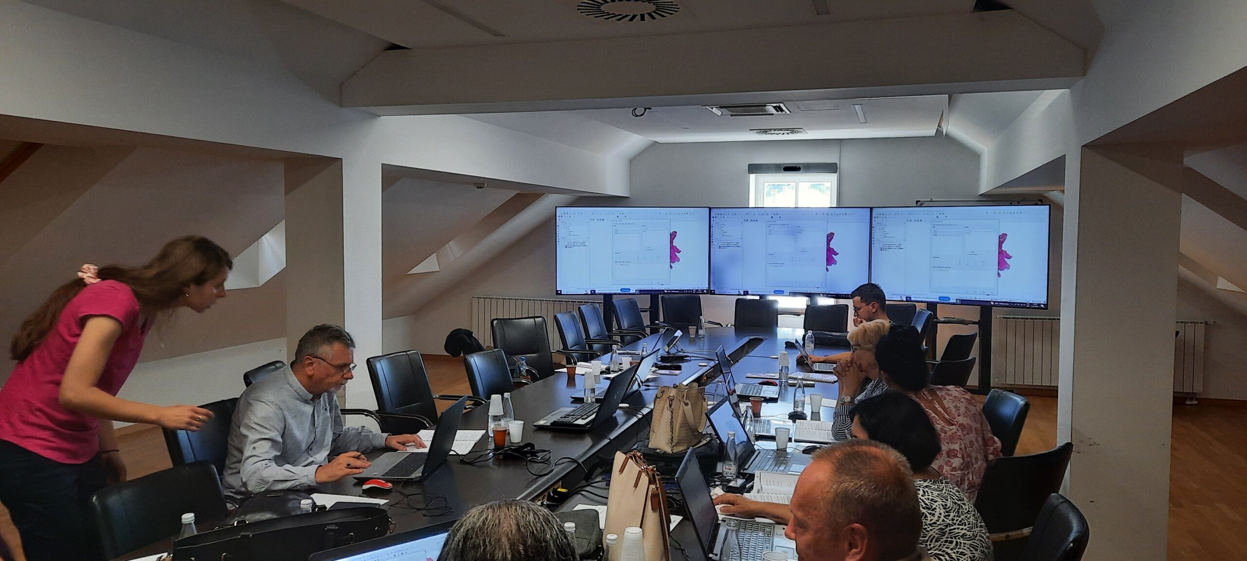
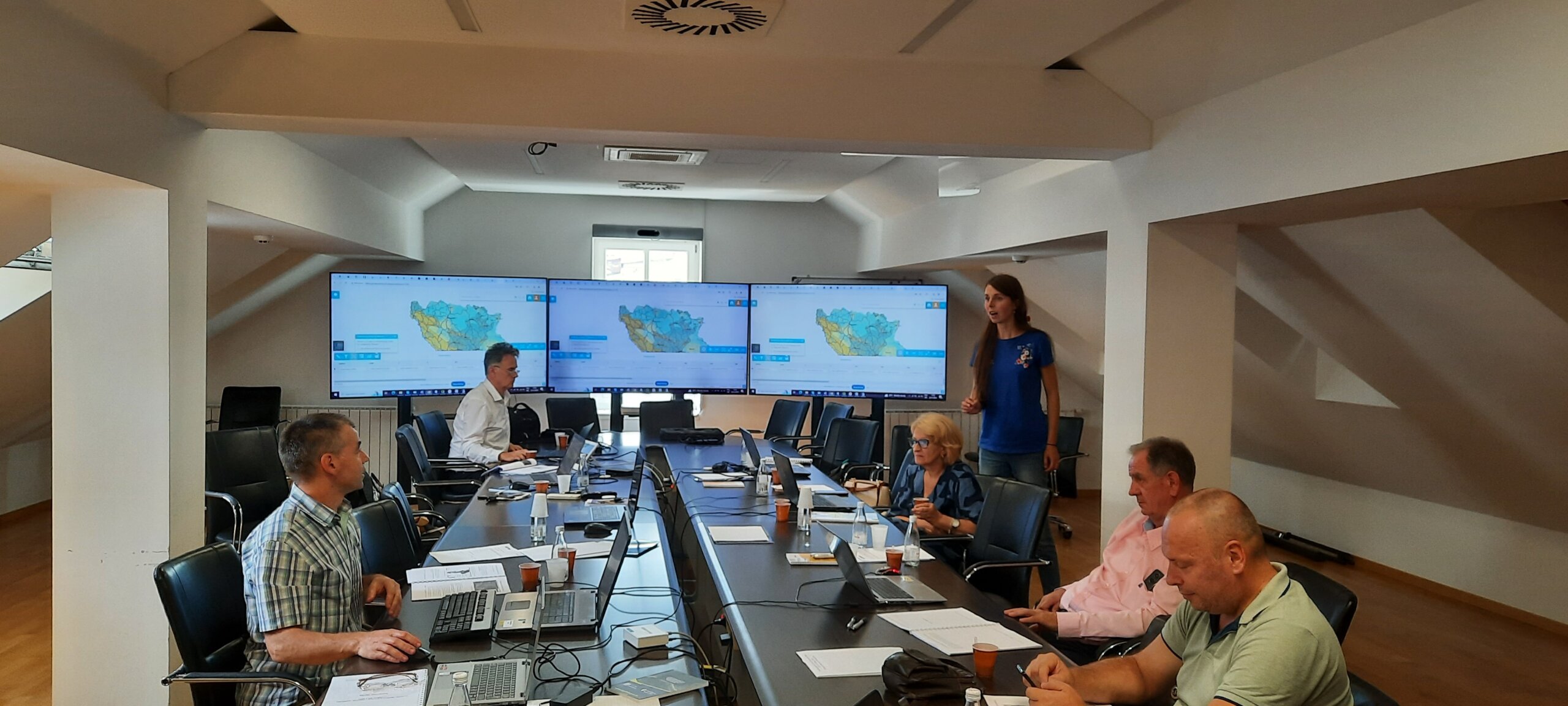
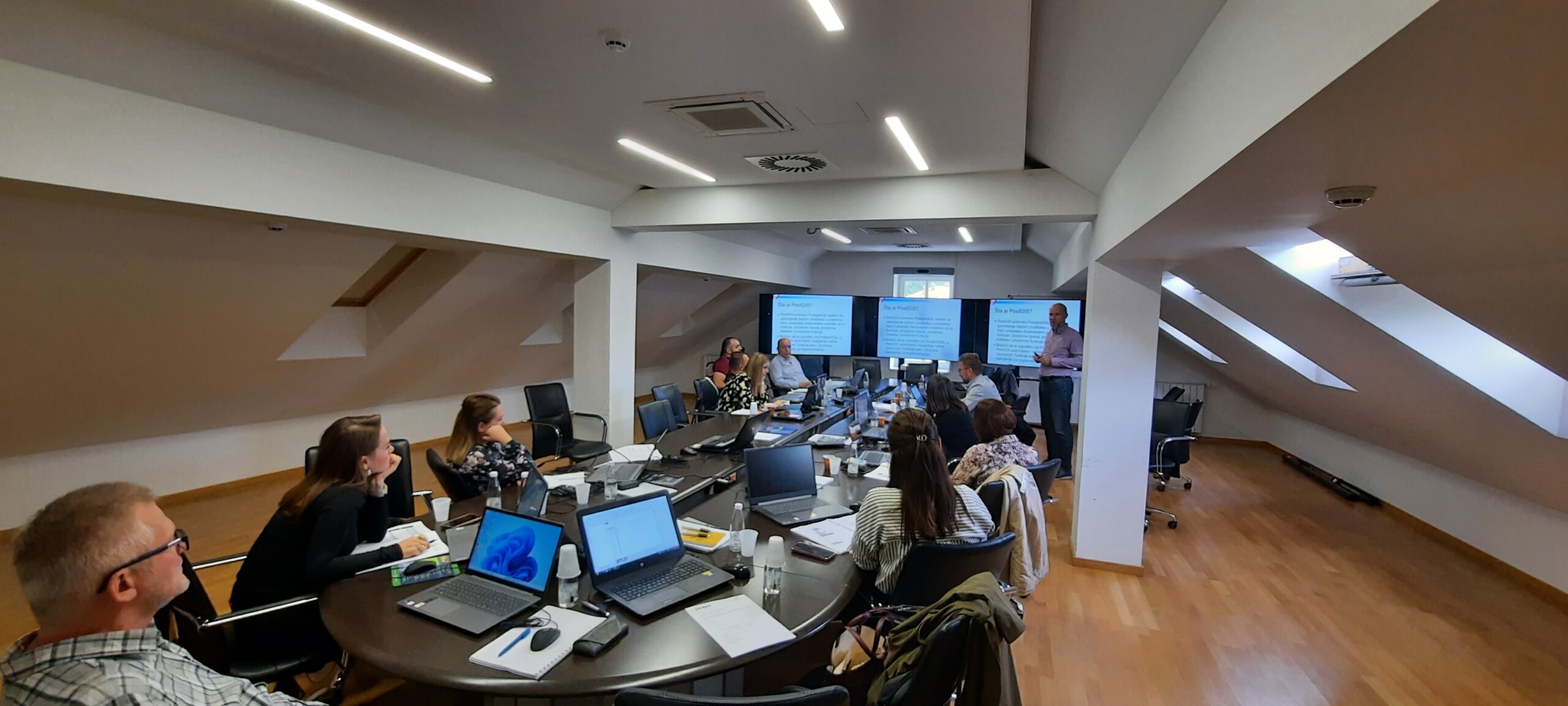
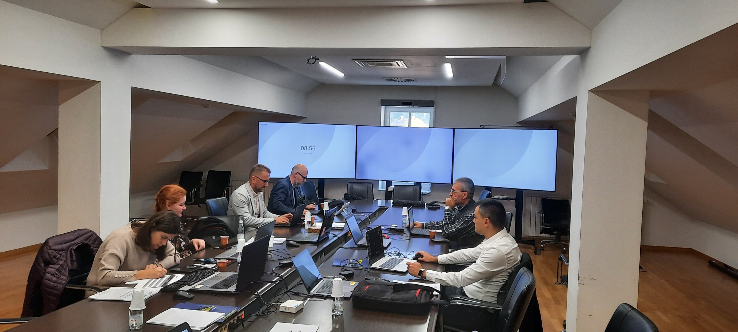
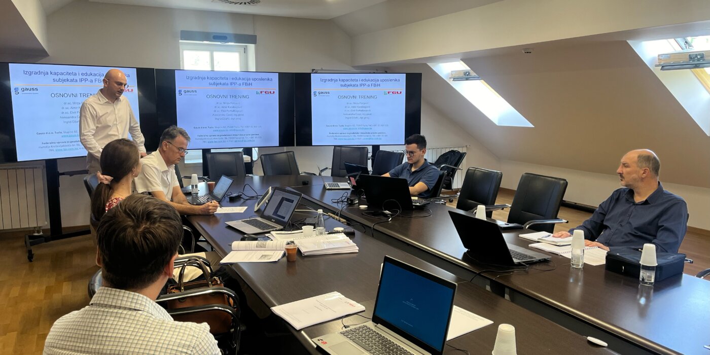
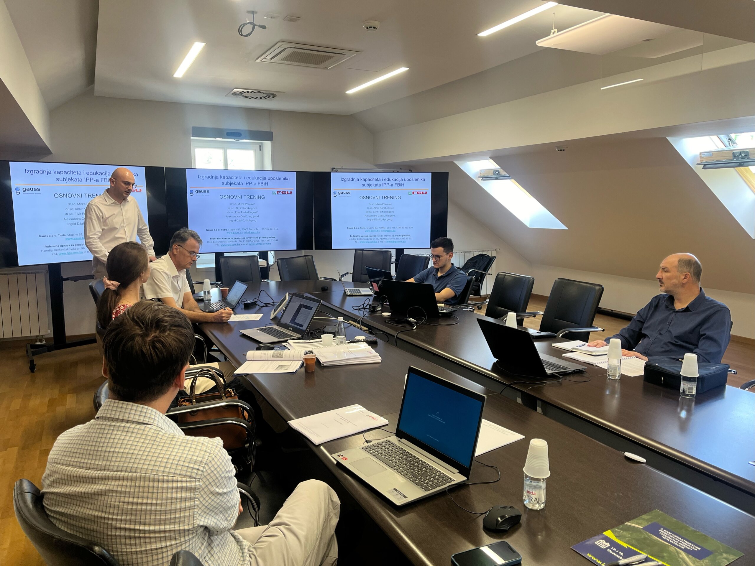
A public procurement for service provision was previously conducted, and a service provider was selected. Gauss d.o.o. Tuzla, with an appropriate expert team, will, in cooperation with the coordinating body and other SDI FBiH entities, carry out the study.

In line with the methodology for drafting the Study, it is planned to collect information from SDI entities and other interested parties about current practices, needs, and challenges they face regarding spatial data licensing. Spatial data and service licensing entails clearly defining terms of use and potential restrictions.

The questionnaire will be available online from 11.10. to 31.10.2024, and can be easily accessed via the URL: https://gauss.ba/ipp-anketa/

We kindly ask the SDI FBiH entities for their cooperation in completing the questionnaire, which will not take much time and is easy to fill out.

Capacity building regarding Spatial Data Infrastructure of the Federation of Bosnia and Herzegovina

Capacity building regarding Spatial Data Infrastructure of the Federation of Bosnia and Herzegovina

In an effort to improve the field of Spatial Data Infrastructure Of The Federation Of Bosnia And Herzegovina (SDI FBiH) and build capacities, the Federal Administration for Geodetic and Real Property Affairs organized and in budget funds ensured three cycles of education: Basic, Advanced and INSPIRE/IPP training. The company GAUSS d.o.o. Tuzla was selected as a service provider which has rich experience in capacity building in the field of SDI and spatial data in general.

The main goal is to acquire competences in the field of spatial data management, their preparation, presentation and sharing, as well as the acquisition of basic knowledge when it comes to spatial data infrastructure. Representatives of 24 institutions/public companies recognized as SDI stakeholders participated in the mentioned trainings.

The institutions that attended training organized by FGU are: Federal Institute of Geology, Federal Ministry of Energy, Mining and Industry, Federal Ministry of Education and Science, Federal Ministry of Agriculture, Water Management and Forestry, Ministry of Spatial Planning, Construction and Environmental Protection of West Herzegovina County, Cantonal Administration of Civil Protection of Zenica-Doboj Canton, Cantonal Institute for spatial arrangement and planning Bihać, Forestry Administration of Sarajevo Canton, Cantonal Institute for Urban Planning, Spatial Planning and Protection of Cultural and Historical Heritage of Central Bosnia Canton, Office for Combating Corruption and Quality Management of Sarajevo Canton, Ministry of Construction, Spatial Planning and Environmental Protection Unsko – of the Sana Canton, the Development Planning Institute of the Sarajevo Canton, the Directorate for Roads of the Sarajevo Canton, the Federal Ministry of Trade, the Agency for the Water Area of ​​the Sava River, the Agency for the Water Area of ​​the Adriatic Sea, the Federal Institute for Agriculture Sarajevo, the Administration for geodetic and property legal affairs of the Central Bosnian Canton, the Ministry of Spatial Planning and Environmental Protection of the Tuzla Canton, the Environmental Protection Fund of the Federation of Bosnia and Herzegovina, Public Company Motorways of the Federation of Bosnia and Herzegovina, Roads of the Federation of Bosnia and Herzegovina and The Cantonal public gas utility company Sarajevogas.

At the end of each held training, an evaluation of the acquired knowledge was carried out, within which the attendees could present their observations during the training, including the content of the training, methodology and everything else. By reviewing the completed evaluation forms of the trainings, it can be concluded that the training was successfully conducted and that the set goal was met.

The Federal Administration for Geodetic and Real Property Affairs will continue to invest in the development and training of its employees as well as employees of other institutions in order to ensure a better use of Spatial Data in the future.

Conference “Days of Spatial Data Infrastructure of the Federation of Bosnia and Herzegovina” – Second Notice

Conference “Days of Spatial Data Infrastructure of the Federation of Bosnia and Herzegovina” - Second Notice

We inform all participants of the fifth conference “Days of the Spatial Data Infrastructure of the Federation of Bosnia and Herzegovina” which will take place at the “Grand Hotel Neum” in Neum on 17th and 18th of October 2024, that the preliminary conference program is available and published on the SDI FBiH website, and is available at the following link: PROGRAM.

Federal Administration for Geodetic and Real Property Affairs invites all interested participants to submit their applications to the Conference by October 1st, via application FORM.

Implementing Rules for Filling Out SDI FBiH Registers and Implementing Rules for Metadata of SDI FBiH Adopted

Implementing Rules for Filling Out SDI FBiH Registers and Implementing Rules for Metadata of SDI FBiH Adopted

At its regular 42nd session held in Sarajevo on September 4, 2024, the Council for Spatial Data Infrastructure of the Federation of BiH adopted the Implementing Rules for Filling Out the Registers of SDI FBiH and the Implementing Rules for Metadata of SDI FBiH.

The adoption of the Law on Spatial Data Infrastructure of the Federation of Bosnia and Herzegovina (“Official Gazette of the Federation of BiH”, No. 55/21) established the preconditions and need for drafting bylaws, which, upon the proposal of the Coordination Body, are adopted by the SDI FBiH Council. The legal basis for adopting these implementing rules is Articles 12, 13, and 14 of the Law on SDI FBiH, which provide for the adoption of bylaws defining metadata, technical conditions for interoperability, harmonization, and sharing of spatial data sources.

The Implementing Rules for Filling Out the Registers of SDI FBiH regulate the process of entering data into the Registers of the Spatial Data Infrastructure. The technical implementation of these rules, along with detailed instructions and clarifications, are contained in the Instructions for Filling Out the Register of Entities and the Register of SDI Sources, which are also adopted by the SDI FBiH Council and form an integral part of these Implementing Rules.

The Implementing Rules for Metadata of SDI FBiH prescribe the criteria, standards, and methods for documenting and exchanging metadata of spatial data infrastructure entities of the Federation of Bosnia and Herzegovina. These rules also include Instructions for Filling Out the Metadata Catalog of SDI FBiH, the Metadata Profile, the Metadata Specification for SDI FBiH, and the Metadata Glossary for SDI FBiH.

By adopting these bylaws, SDI FBiH entities, the Coordination Body, and spatial data users gain significant benefits. For SDI FBiH entities, these rules provide clear guidelines on how to consistently enter data into registers, ensuring data standardization and quality across the Federation. The Coordination Body is enabled to more effectively coordinate and supervise data entry, as well as to manage registers and metadata more easily. Data users, on the other hand, gain access to better-organized and reliable spatial data, facilitating their use and analysis. The implementing rules enhance data interoperability and harmonization, making it easier to share and use data among various institutions.

These rules will be published in the official gazettes of the Federation of BiH and on the official SDI FBiH website, ensuring transparency and availability to all interested parties.

Forty-second session of the SDI Council of FBiH held

Forty-second session of the SDI Council of FBiH held

On September 04, 2024, the forty-second session of the SDI Council of FBiH was held at the premises of the Federal Administration for Geodetic and Property Affairs.

The following agenda items were discussed at the Council meeting:

  1. Approval of the agenda for the 42nd session of the SDI Council of FBiH;
  2. Adoption of the minutes from the previous 41st session of the SDI Council of FBiH;
  3. Information on the implementation of the Work Plan for the establishment, maintenance, and development of the SDI of FBiH for Year 2024;
  4. Information on the status of the activities of the working groups from the previous session;
  5. Adoption of Implementation Rules for SDI stakeholder registers;
  6. Adoption of Implementation Rules for SDI FBiH metadata;
  7. Information about the new donor project of the Kingdom of the Netherlands;
  8. Information regarding 5th conference “SDI Days of the Federation of BiH”;
  9. Other.

As the Coordination Body of the SDI of FBiH, the Federal Administration for Geodetic and Property Affairs prepared information for Council members regarding the implementation of the Work Plan for the establishment, maintenance, and development of the SDI of FBiH for 2024. In accordance with the SDI Strategy for the period 2023-2027 and the Action plan for 2024, activities related to increasing the number of entities and available resources continued to improve the level of availability and interoperability of spatial data.

With the adoption of the Law on SDI FBiH, the conditions and the need for the creation of by-laws were created. During the Year 2024, through the implementation of this Plan, with the support of SDI working groups, a formal framework, respectively implementation rules, were developed in accordance with Article 14 of the SDI Act. At the 42nd session, the SDI Council adopted the Implementing Rules for Spatial Data Infrastructure Stakeholder registers and the Implementing Rules for SDI Metadata of the Federation of Bosnia and Herzegovina.

Capacity building regarding Spatial Data Infrastructure of the Federation of Bosnia and Herzegovina

Capacity building regarding Spatial Data Infrastructure of the Federation of Bosnia and Herzegovina

In order to build capacity regarding Spatial Data Infrastructure of the Federation of Bosnia and Herzegovina (SDI FBiH), the Federal Administration for Geodetic and Real Property Affairs (FGA) in the work plan for Year 2024 and in budget funds ensured the education of employees of the subjects of IPP FBiH for 2024, which will be done through a qualified service provider with experience in capacity building in the field of SDI and spatial data in general. The company GAUSS d.o.o. Tuzla was selected as a service provider regarding this topic.

The training program included three types of training, each with specific competencies that participants should acquire in order to improve their understanding of thematic areas. The main goal is to acquire competences in the field of spatial data management, their preparation, presentation and sharing, as well as the acquisition of basic knowledge when it comes to spatial data infrastructure.

Interest in training was expressed by 24 institutions/public companies recognized as SDI stakeholders. During the entire September, 4 basic trainings, 5 advanced trainings and 3 trainings related to the INSPIRE directive will be held.

All three training cycles and capacity building in these areas represent an important step towards strengthening the infrastructure of spatial data in the Federation of Bosnia and Herzegovina and enables institutions to better use spatial data in their activities. The Federal Administration for Geodetic and Real Property Affairs continues to invest in the development and training of its employees as well as employees of other institutions in order to ensure a better use of spatial data in the future.

Study visit within the DELEF project, component 3 – Spatial Data Infrastructure

Study visit within the DELEF project, component 3 - Spatial Data Infrastructure

In the period from August 26 to August 30, 2024 a study visit was realized within the component 3 of the DELEF project; Support for the development of Spatial Data Infrastructure. The delegation stayed at the headquarters of the Swedish Mapping, Cadastral and Land Registration Authority – Lantmäteriet, and they had the opportunity to visit several other institutions, such as the SCB – Statistics Sweden, and the Municipality of Sollentuna, which belongs to the metropolitan area of ​​Stockholm.

The delegation of the Federal Geodetic Administration consisted of Mr. Jasmin Ćatić, coordinator of the component 3, Mrs. Jelena Zelić, member of the SDI working group, and Mr. Benjamin Emirhafizović, also a member of the working group.

The study visit was realized according to the DELEF project annual activity plan, and the main goal was the exchange of experiences, examples of good practices in the domain of network service implementation, Geoportal development, and activities related to communication with SDI entities, communication platforms, strategies and plans. The remaining activities for 2024 were also planned in detail, and a preliminary draft of the plan for 2025 was created when it comes to the Spatial Data Infrastructure component.

The 16th Regional Conference on Cadastre and Spatial Data Infrastructure

The 16th Regional Conference on Cadastre and Spatial Data Infrastructure

The 16th Regional Conference on Cadastre and Spatial Data Infrastructure 2024 was held in Bosnia and Herzegovina, Laktaši from June 24 to June 26, in the organization of the Republic Authority for Geodetic and Real Property Affairs of the Republic of Srpska.

The Conference gathered a large number of managers and representatives of the cadastral agencies of the Western Balkan region, as well as representatives of the World Bank, the Swedish Mapping, Cadastral and Land Registration Authority- Lantmäteriet, The Netherlands’ Cadastre, Land Registry and Mapping Agency- Kadaster, Eurogeographics and others.

The topics of this year’s conference focused on the following areas:

  1. Cadastre and geodetic infrastructure
  2. Spatial Data Infrastructure
  3. Mass valuation

The Federal Administration for Geodetic and Real Property Affairs actively participated in the work for all the mentioned areas, and Mrs. Jelena Zelić, Mr. Jasmin Ćatić and Mr. Denis Tabučić, during the conference session, were held lectures on the general status of activities and progress during 2024.

At this year’s conference, attention was paid to the implementation of the Memorandum of Understanding and Cooperation in the field of Cadastre, Topographic Surveying and Cartography, Geodetic Networks and Spatial Data Infrastructure signed in 2019, and the directors of cadastral and cartographic institutions held discussions related to the possibilities of organizing a regional project for capacity building of the institutions.

At the end, appropriate conclusions were adopted and the next Regional Conference will be held in Montenegro.

On behalf of the FGA at the Conference attended director Mr. Željko Obradović with the assistant and officials mentioned above.

Workshop on the topic “SDI Registers and Data Entry” held

Workshop on the topic “SDI Registers and Data Entry” held

On June 24, 2024, a workshop on the topic ” SDI Registers and Data Entry” was held in Sarajevo. Ten representatives from the following institutions attended the workshop:

  • Federal Hydrometeorological Institute
  • Federal Ministry of Education and Science
  • Federal Ministry of Trade
  • Cantonal Institute for Urbanism, Spatial Planning and Protection of the Cultural and Historical Heritage of the Central Bosnia Canton
  • Ministry of Spatial Planning, Construction, and Environmental Protection of the West Herzegovina Canton
  • Administration for Geodetic and Real Property Affairs of the Central Bosnia Canton
  • Anticorruption and Quality Control Office of the Sarajevo Canton

During the workshop, participants were introduced to the Organizational Model of the Spatial Data Infrastructure of the Federation of Bosnia and Herzegovina (SDI FBiH) and the SDI FBiH Registers. The application solution for the SDI Registers and the method for entering data into the SDI Registers were presented. Following the introduction, participants, with the help of the organizers, entered basic information about the institutions accessing SDI FBiH as SDI FBiH stakeholders.

At the end of the workshop, participants were also given a brief introduction to the concept of the Metadata Catalogue and the entry of information on spatial data sources into the Spatial Data Source Register of SDI FBiH as well as the Metadata Catalogue.

The inclusion of the aforementioned institutions in SDI FBiH represents an important step towards enhancing the metadata database and ensures that stakeholders included in SDI FBiH are equipped with the knowledge and tools necessary for consistent management and updating of spatial data and metadata.

The Federal Administration for Geodetic and Real Property Affairs remains committed to providing support to all SDI FBiH stakeholders and continuously improving the quality and availability of spatial data.

Workshop Held on the Topic: Entry and Update of Metadata

Workshop Held on the Topic: Entry and Update of Metadata

On June 12, 2024, a workshop on the topic “Entry and Update of Metadata” was held at the premises of the Federal Administration for Geodetic and Real Property Affairs. The workshop was attended by nine representatives of the stakeholders of the Spatial Data Infrastructure of the Federation of Bosnia and Herzegovina (SDI FBiH). Representatives attended on behalf of the following stakeholders:

  • Federal Hydrometeorological Institute
  • Federal Institute for Geology
  • Fund for Environmental Protection of the Federation of BiH
  • Agency for the Sava River Basin
  • Federal Ministry of Physical Planning
  • Roads of the Federation of Bosnia and Herzegovina, Sarajevo
  • Public Company Motorways of the Federation of Bosnia and Herzegovina Ltd. Mostar

During the workshop, participants were introduced to the new version of the Metadata Catalogue, the implementation rules for metadata, and the new SDI FBiH metadata profile. Additionally, a demonstration of data entry into the Metadata Catalogue was conducted, providing practical insight into the process crucial for maintaining the accuracy and up-to-date of spatial data.

This workshop represents a significant step towards improving the metadata database and ensures that all SDI FBiH stakeholders are adequately equipped with the knowledge and tools necessary for consistent management and updating of spatial data and metadata. Following the workshop, all necessary materials will be provided to the participants to facilitate the continued active entry of metadata for spatial data sources managed by the relevant institutions, all in accordance with the SDI FBiH Law.

In line with the Work Plan for 2024 in the field of SDI FBiH, other thematic workshops will be organized in the coming period, thereby continuing the ongoing education and enhancement of the spatial data, metadata, and network services management system.

The Federal Administration for Geodetic and Property Affairs remains committed to providing support to all SDI FBiH stakeholders and continuously improving the quality and accessibility of spatial data.

Federal Administration for Geodetic and Real Property Affairs

Working hours: 08:00 - 16:00
Contact phone: 033/712-616
E-mail: ipp.fbih@fgu.com.ba

Hamdije Kreševljaković br.96

Sarajevo 71000

©FGU 2024, ALL RIGHTS RESERVED.