REQUEST FOR EXPRESSIONS OF INTEREST
Bosnia And Herzegovina
Federation Of Bosnia And Herzegovina
Federal Administration For Geodetic And Real Property Affairs
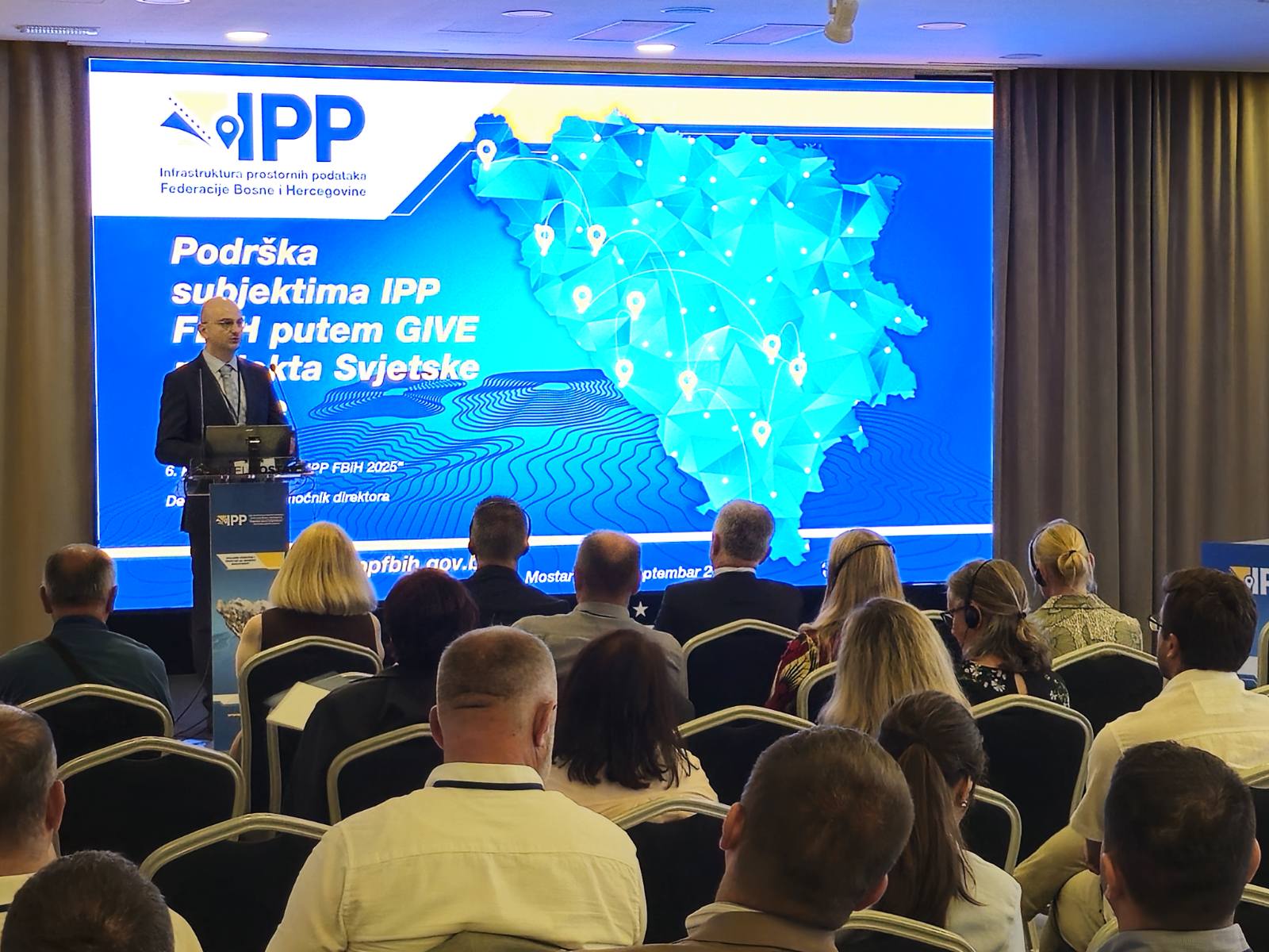
Geospatial Infrastructure And Valuation Enhancement Project (GIVE)
Loan No.: 96760-BA
Issue date: 29.08.2025.
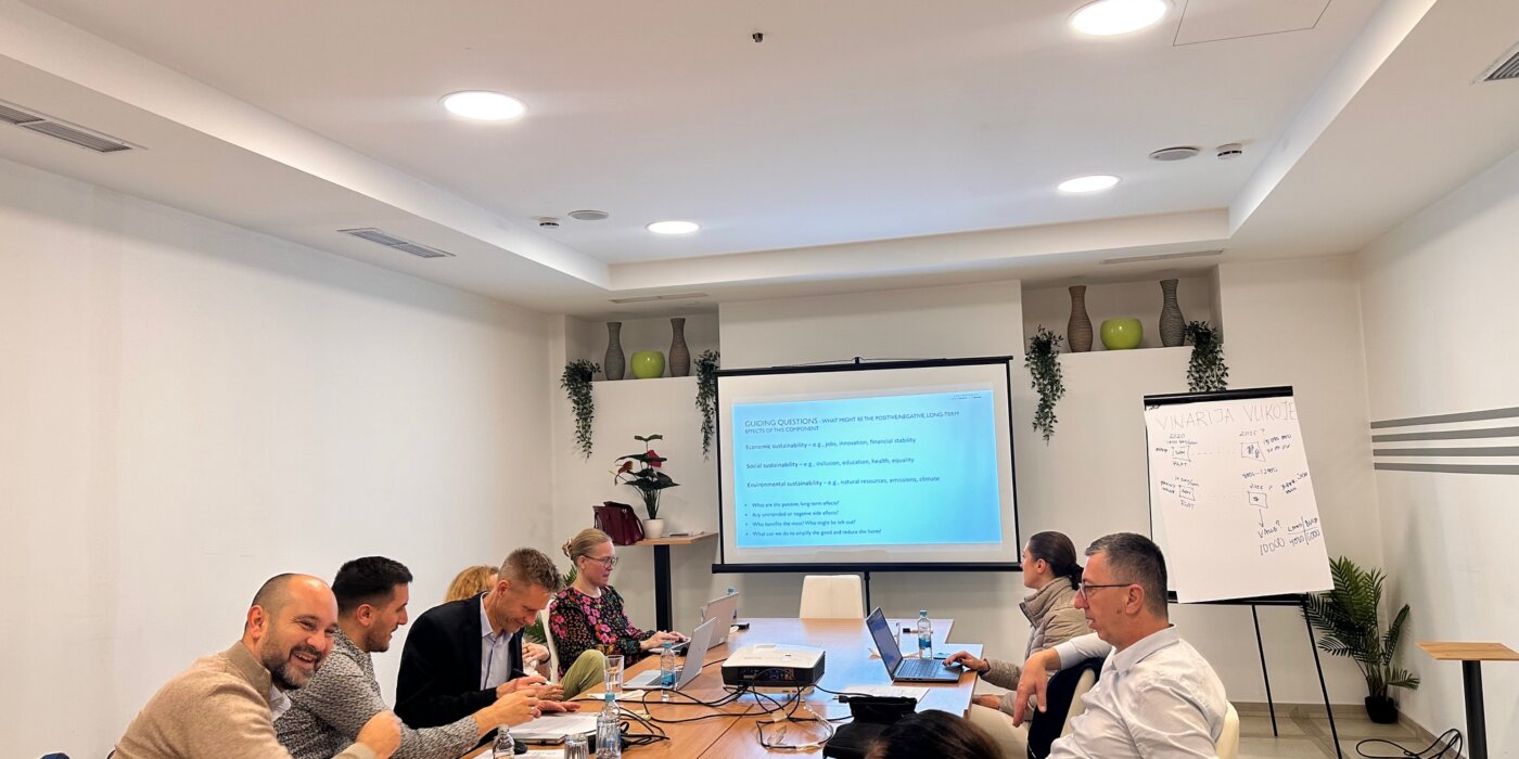
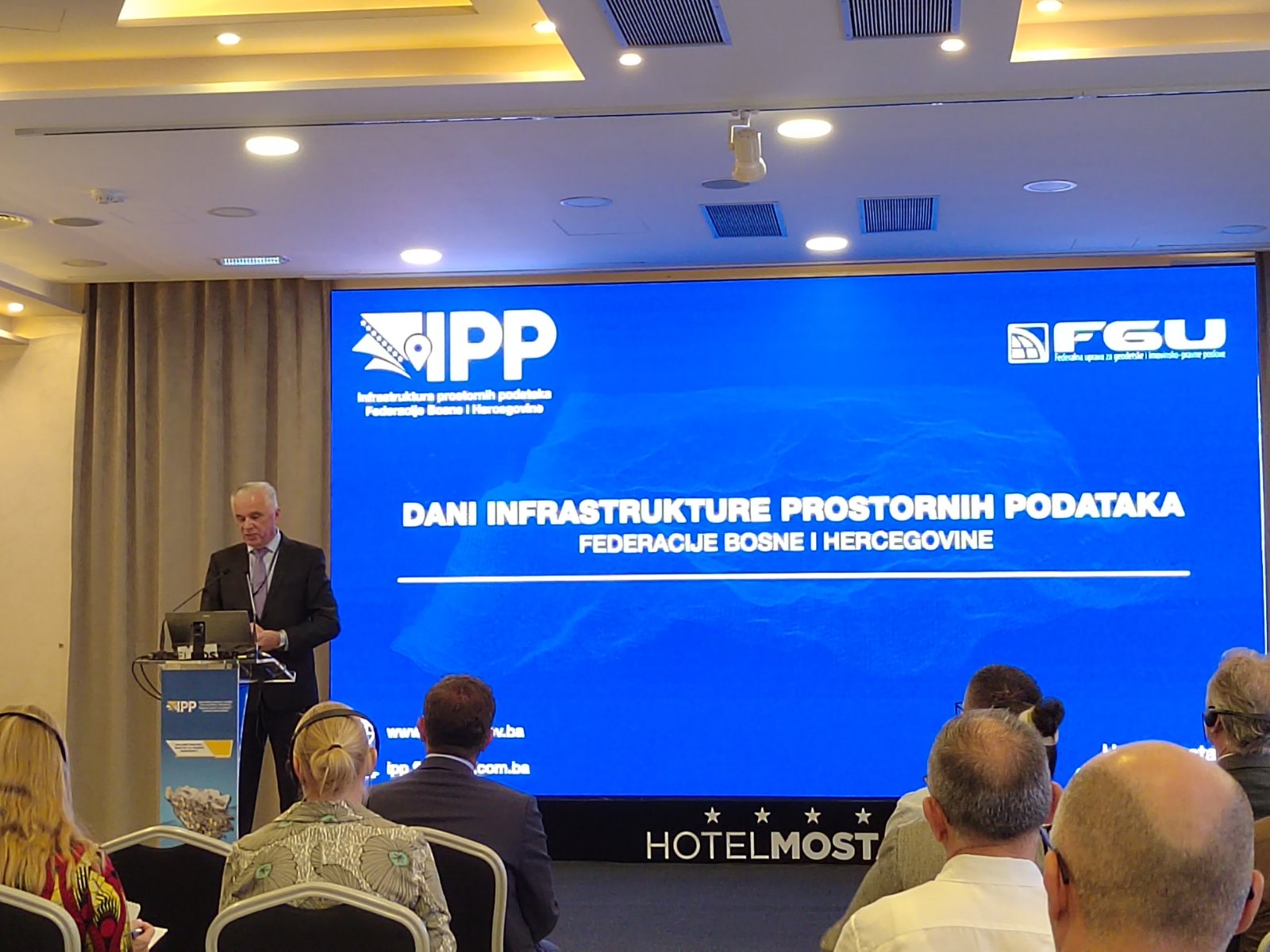
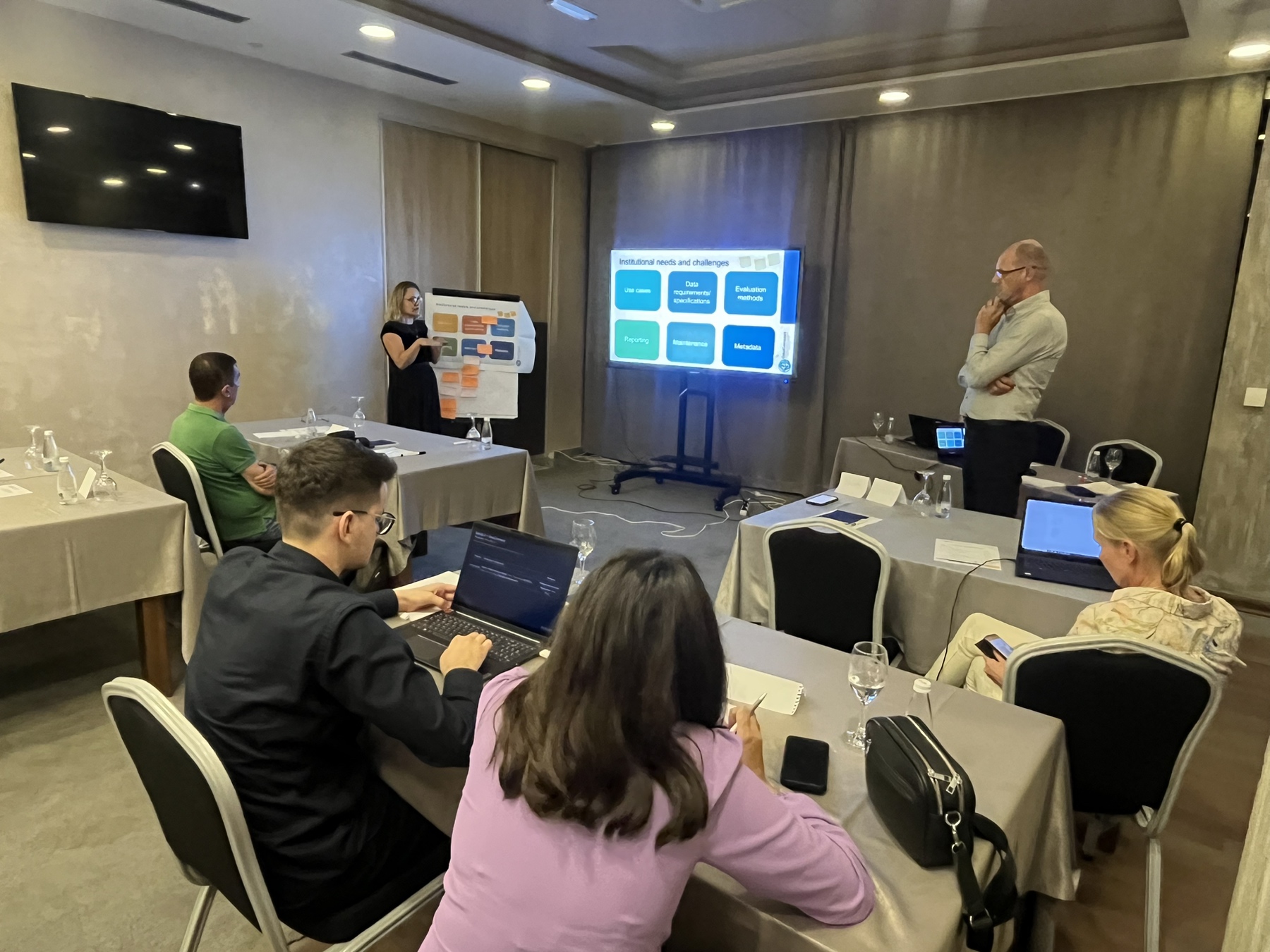
Assignment Title:SDI Digital Platform specifications
Reference No: A.1.3.1
The Bosnia and Herzegovina has received financing from the World Bank toward the cost of the Geospatial Infrastructure And Valuation Enhancement Project (GIVE), and intends to apply part of the proceeds for consulting services.
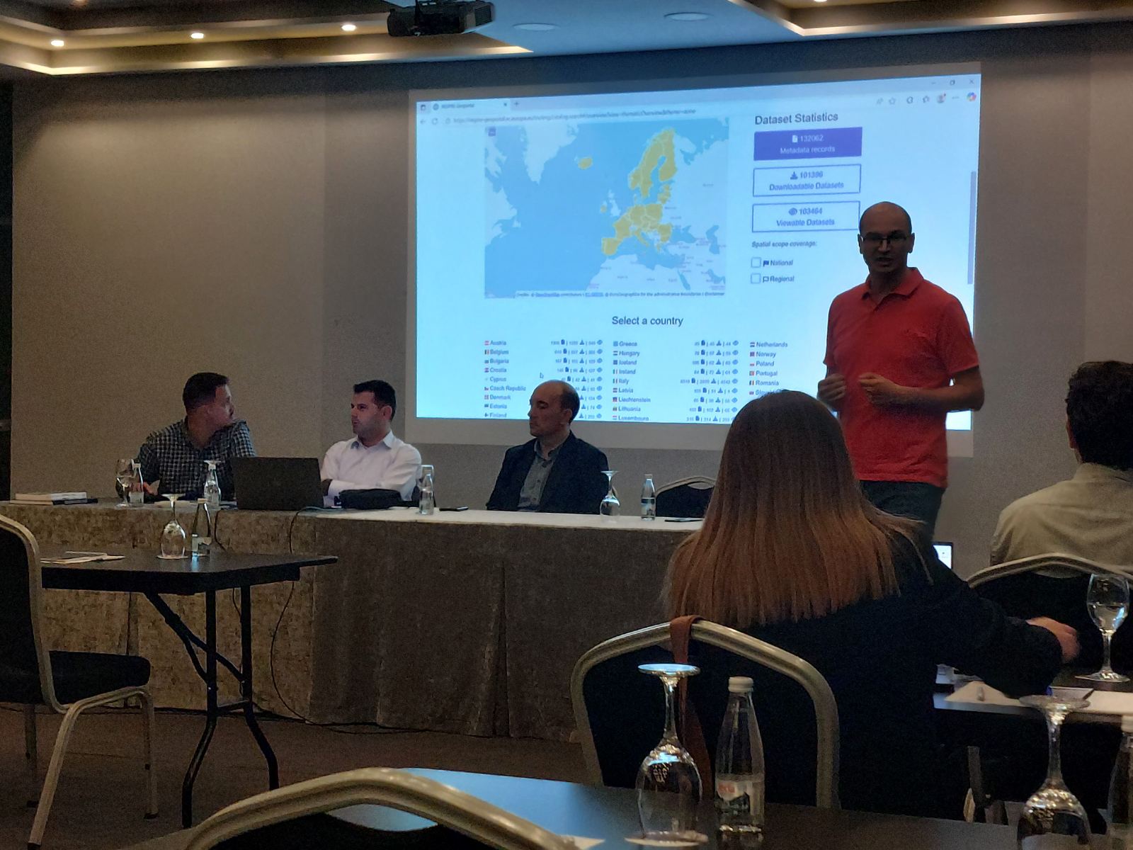
The consulting services (“the Services”) include development of a detailed functional and technical specification for the centralized SDI Digital Platform of the Spatial Data Infrastructure of the Federation of Bosnia and Herzegovina, which will serve as the foundation for its future development.
The detailed Terms of Reference (TOR) for the assignment can be found at the following website: www.fgu.com.ba
The Federal Administration For Geodetic And Real Property Affairs now invites eligible consulting firms (“Consultants”) to indicate their interest in providing the Services. Interested Consultants should provide information demonstrating that they have the required qualifications and relevant experience to perform the Services. The shortlisting criteria are:
- Legal and professional capacity – The Consultant must be a legally registered entity with the capacity to operate in the fields of geospatial information systems, software development, or IT consulting.
- Relevant experience – Demonstrated experience in at least two comparable assignments within the last 5 years, involving: Spatial data infrastructure (SDI), Design of digital platforms for geospatial data management, Development of system specifications for public institutions or international organizations.
- Multidisciplinary capacity – Proven ability to mobilize a multidisciplinary team with expertise in SDI, software architecture, hardware infrastructure, and public sector project delivery.
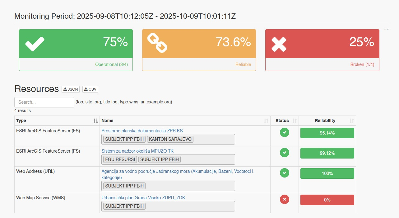
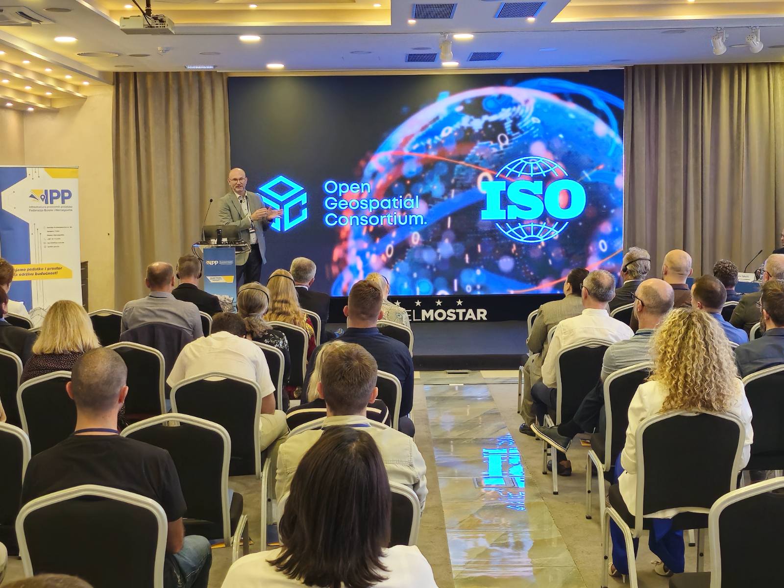
- Standards and domain competence – Proven familiarity with relevant geospatial and interoperability standards and technologies (e.g., INSPIRE concepts, OGC web services such as WMS/WFS/WCS/WMTS, metadata/catalogs, raster/LiDAR/vector data handling).
- Language and local delivery capacity – Ability to perform the assignment in the English language. The Consultant must also be able to participate in on-site/remote meetings with the Client, as required.
The Consultant’s ability to perform the assignment in any one of the official languages of the Federation of Bosnia and Herzegovina will be considered an advantage.
Preferably, the Consultant should have experience in projects funded by the World Bank, EU, UN, or other international donors, particularly in the fields of land administration, SDI, or e-Government.
The Consultant’s team responsible for preparing the specification under this Terms of Reference shall, at a minimum, include the following key roles:
- Team Leader/Coordinator: Responsibilities: Provide overall leadership and direction for the assignment, ensuring timely delivery of all outputs;Coordinate the work of the multidisciplinary team, consolidate inputs, and manage quality assurance of deliverables;Serve as the primary point of contact with the Client. Minimum requirements: University degree in geodesy, geoinformatics, geography, computer science, information technology or some other related field (Master’s degree preferred);At least 7 years of professional experience, including managing similar assignments;Demonstrated leadership in at least two SDI, GIS, or public sector IT projects of comparable scale and complexity;Excellent organizational, analytical, and communication skills;Excellent knowledge of the English language.
- SDI Specialist: Responsibilities:Provide expertise on SDI standards, metadata, interoperability and legal compliance;Ensure alignment with INSPIRE Directive, ISO 191xx series, and relevant national frameworks. Minimum requirements: University degree in geodesy, geoinformatics, geography, computer science, information technology or some other related field;At least 5 years of relevant professional experience in SDI design, metadata management, or policy alignment;Proven knowledge of SDI principles, geospatial information systems, geospatial data standards and the EU INSPIRE Directive;Knowledge of laws of Bosnia and Herzegovina, practice, and policies in the land administration sector is preferable.
- System Architect: Responsibilities: Define the overall system architecture of the SDI Digital Platform;Specify software components, application interfaces (APIs), data exchange mechanisms, integration workflows, and technical dependencies to ensure scalability, interoperability, and maintainability;Ensure that the architecture aligns with the Client’s infrastructure capacity, security requirements, and future scalability needs. Minimum requirements: University degree in computer science, information technology, software engineering or some other related field;At least 5 years of professional experience in system design and architecture; Experience with open-source geospatial tools and modern web frameworks; Experience with containerization, APIs, and version control systems (e.g., Git); Strong knowledge of server administration, virtualization technologies, and system monitoring tools; Experience in designing and operating secure, high-availability, and redundant infrastructures; Understanding of automation and configuration management; Experience integrating identity management, authentication, and authorization services (e.g., SSO, OAuth2, LDAP/AD); Fluency in English (spoken and written), with the ability to produce technical documentation to international standards.
- IT Specialist: Responsibilities: Define the hardware and network infrastructure architecture; Specify server, storage, backup, power, and networking requirements; Ensure the infrastructure supports high availability, disaster recovery, and scalability requirements; Ensure cybersecurity and data protection measures are implemented in compliance with relevant standards and privacy regulations. Minimum requirements: University degree in information technology, electronics engineering, systems engineering, or a closely related field;At least 5 years of professional experience in ICT infrastructure design; Demonstrated experience in sizing, scalability planning, and high-availability environments for data platforms; Proven expertise with storage technologies (SAN, NAS, RAID configurations, tiered storage) and backup/restore solutions; Proven experience with networking infrastructure (LAN/WAN design, switches, routers, firewalls, VPNs) and performance optimization; Experience with virtualization technologies (e.g., VMware, Hyper-V, Proxmox, or equivalent); Experience designing and integrating redundancy and failover mechanisms (dual power supplies, redundant paths, mirrored storage, load balancing etc.).
Consultant may consider additional experts such as:
- UI/UX Designer – Responsible for user-centered interface design and accessibility compliance;
- Business Analyst / Legal Consultant – Supports the alignment of technical solutions with institutional and legal requirements, including stakeholder mapping, workflows, and regulatory considerations.
The Expression of Interest should include references from previous assignments, CVs for all key experts and additional experts if required, as well as an estimated number of support staff if required. Key Experts will not be evaluated at the shortlisting stage.
The attention of interested Consultants is drawn to Section III, paragraphs, 3.14, 3.16, and 3.17 of the World Bank’s “Procurement Regulations for IPF Borrowers” September 2023, revised February 2025 (“Procurement Regulations”), setting forth the World Bank’s policy on conflict of interest.
Consultants may associate with other firms to enhance their qualifications, but should indicate clearly whether the association is in the form of a joint venture and/or a sub-consultancy. In the case of a joint venture, all the partners in the joint venture shall be jointly and severally liable for the entire contract, if selected.
A Consultant will be selected in accordance with the Consultant’s Qualifications Based Selection method set out in the Procurement Regulations.
Further information can be obtained at the address below during office hours 08:00 till 16:00 local time.
Expressions of interest must be delivered in a written form to the address below (in person, or by e-mail) by 22.09.2025.
Federal Administration For Geodetic And Real Property Affairs
Geospatial Infrastructure And Valuation Enhancement Project (Give)
Attn: Iva Vidović, Procurement Specialist
Hamdije Kreševljakovića 96
71000 Sarajevo, Bosnia and Herzegovina
Tel: +387 33 586 063
E-mail: give_procurement@fgu.com.ba; cc:iva.vidovic@fgu.com.ba
20250828 ToR – SDI Digital Platform specifications