Workshop “Support to SDI FBiH Stakeholders through Practical Examples” Held

Workshop “Support to SDI FBiH Stakeholders through Practical Examples” Held

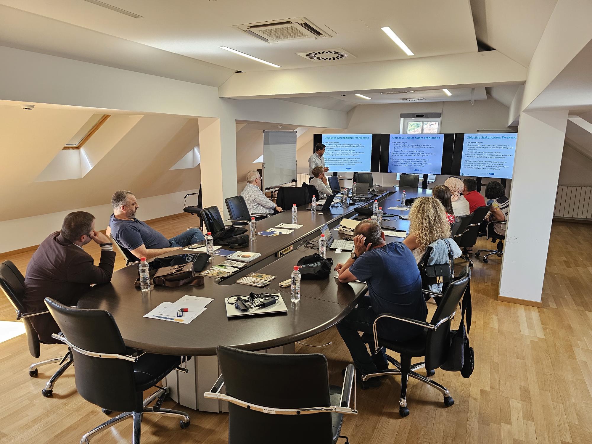
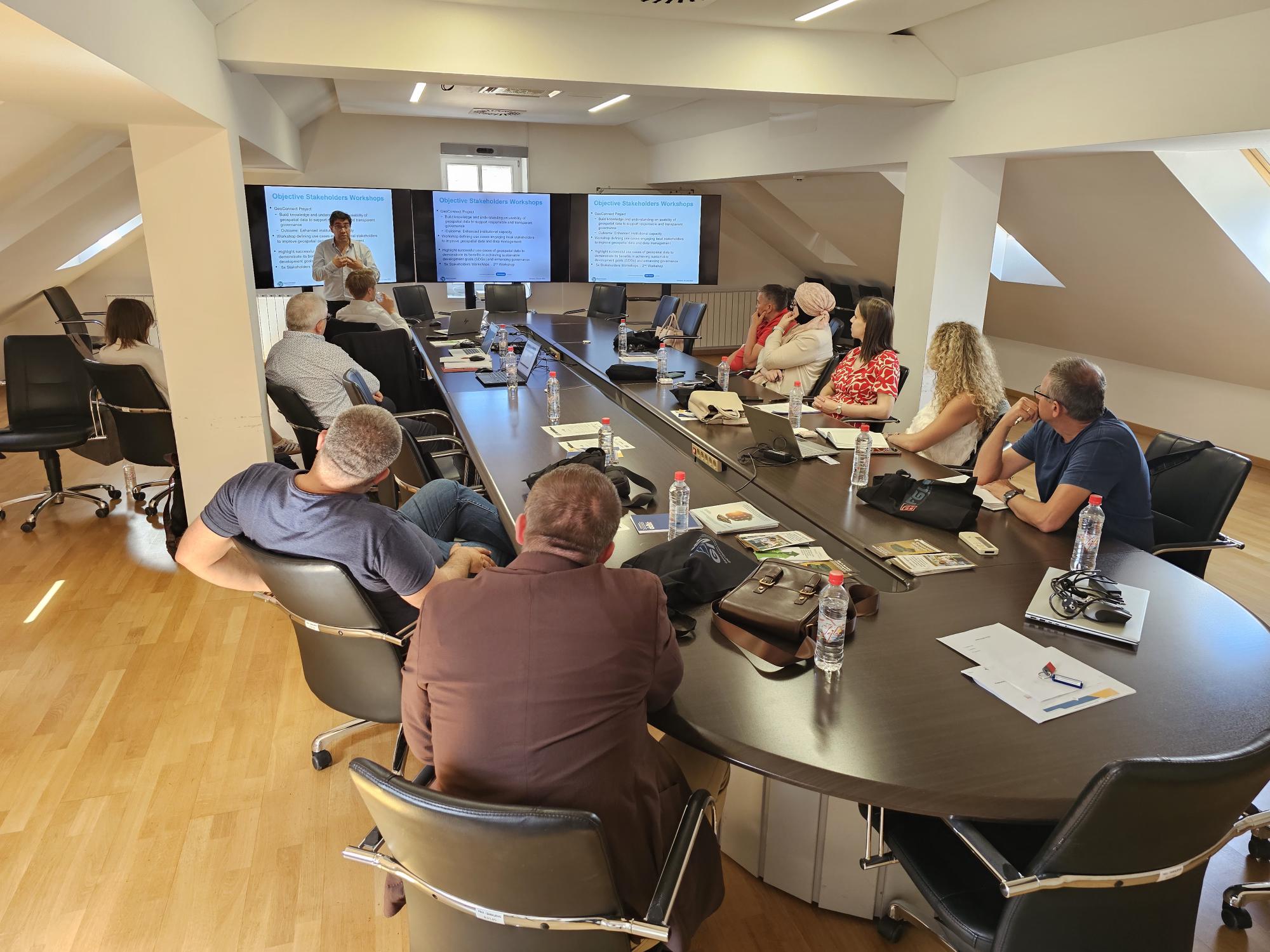
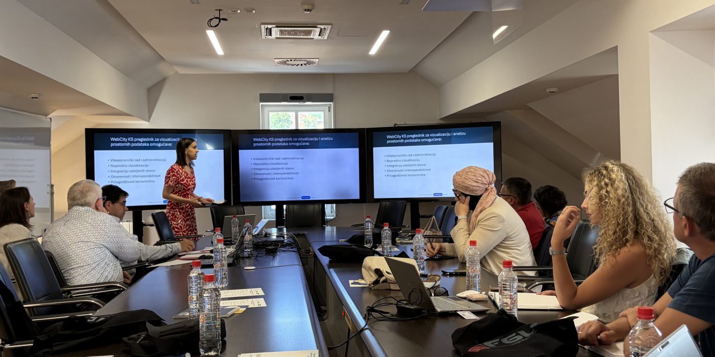
The workshop “Support to SDI FBiH Stakeholders through Practical Examples” was held on 15 June 2026 at the premises of the Federal Administration for Geodetic and Real Property Affairs in Sarajevo. The event was organized with the support of the GeoConnect project, a donor-funded initiative of the Kingdom of the Netherlands. The workshop represents a continuation of activities aimed at improving the implementation of the Spatial Data Infrastructure of the Federation of Bosnia and Herzegovina (SDI FBiH) and strengthening cooperation among stakeholders who use spatial data in their daily work.

The workshop brought together representatives of seven institutions from the field of spatial planning, with the aim of exchanging experiences and exploring opportunities for more efficient use of spatial data in planning processes, spatial management, and decision-making.

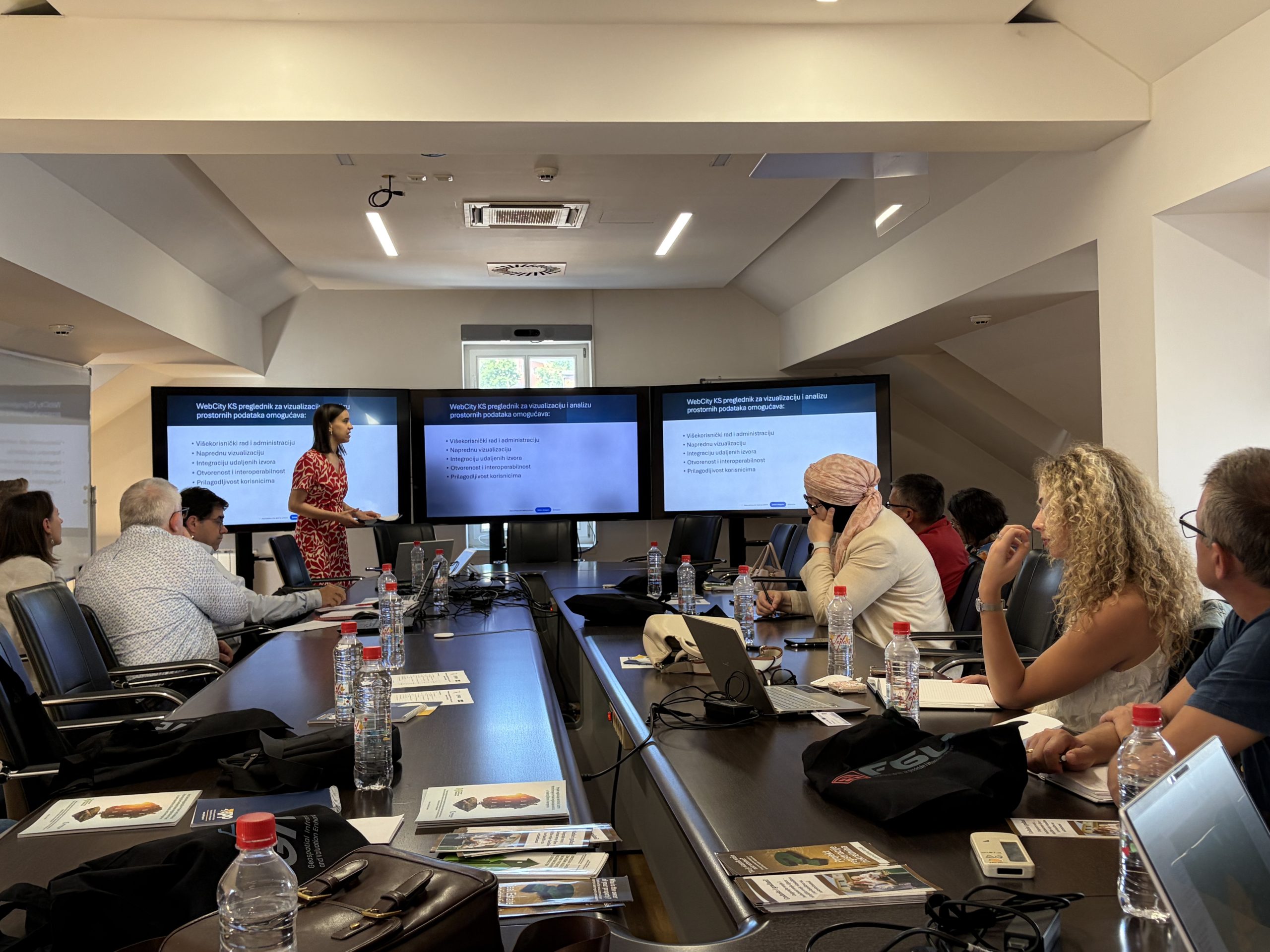
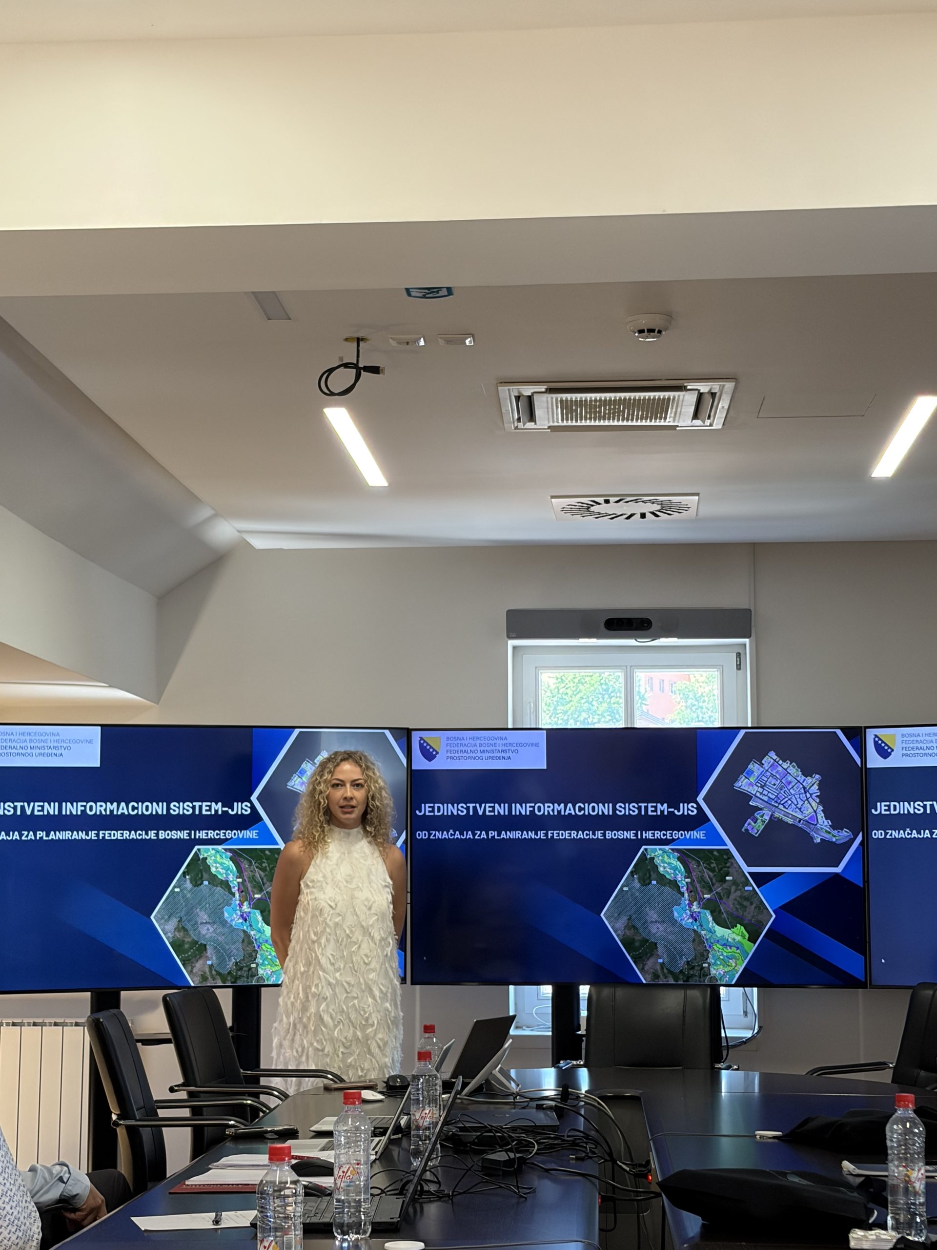
Within the technical part of the program, Adna Demirović from the Institute for Development Planning of Sarajevo Canton and Vanja Bošnjak from the Federal Ministry of Physical Planning presented the institutions they represent, as well as their role within the SDI FBiH. They also presented applications and objectives developed and implemented by their institutions, highlighting their connection with the SDI FBiH. On this occasion, they spoke about the importance of spatial data in spatial planning and management processes, emphasizing the need for accessible, reliable, and interoperable data as a basis for high-quality spatial governance.

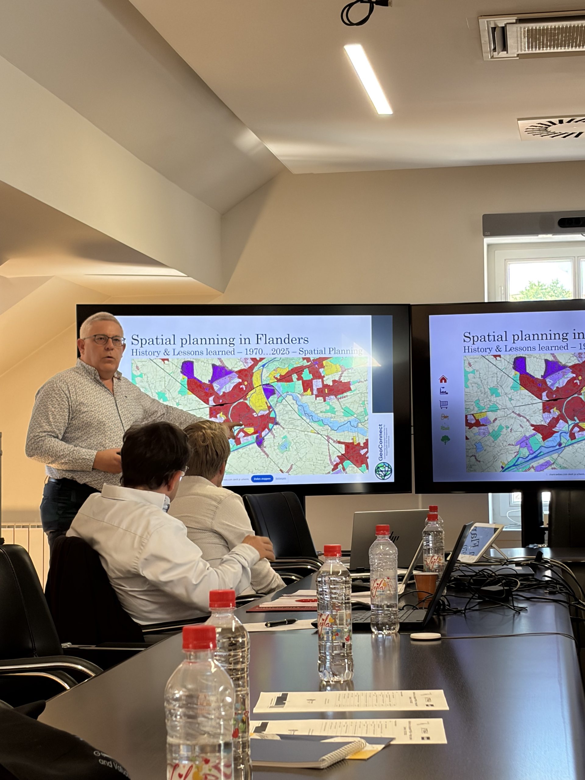
A special contribution to the workshop was made by international experts who presented examples of good practice from European countries. Luc Janssens gave a presentation on Belgium’s experiences in spatial planning, showcasing concrete ways in which spatial data and digital services contribute to more efficient spatial planning and management. Experiences from the Netherlands were presented by Prof. Dr. Joep Crompvoets and Jaap-Willem Sjoukema, who highlighted, through practical examples, the importance of data interoperability, standardized services, and inter-institutional cooperation in the development of spatial data infrastructure.

A particular focus of the workshop was the exchange of experiences among participants and the identification of concrete examples of spatial data use within institutions and stakeholders in the spatial planning sector. Through group work and plenary discussion, opportunities for further improvement of SDI FBiH implementation were discussed, as well as the development of new services that can contribute to more efficient institutional work and better spatial management.

It was concluded that institutions and stakeholders in the field of spatial planning and spatial development are among the most important users of spatial data, and that their active participation in the development and use of SDI FBiH is a key prerequisite for successful spatial planning and sustainable development. The workshop once again confirmed the importance of continuous cooperation, knowledge exchange, and the application of international experience in the further development of the spatial data infrastructure in the Federation of Bosnia and Herzegovina.
18th Regional Conference on Cadastre and Spatial Data Infrastructure Held

18th Regional Conference on Cadastre and Spatial Data Infrastructure Held

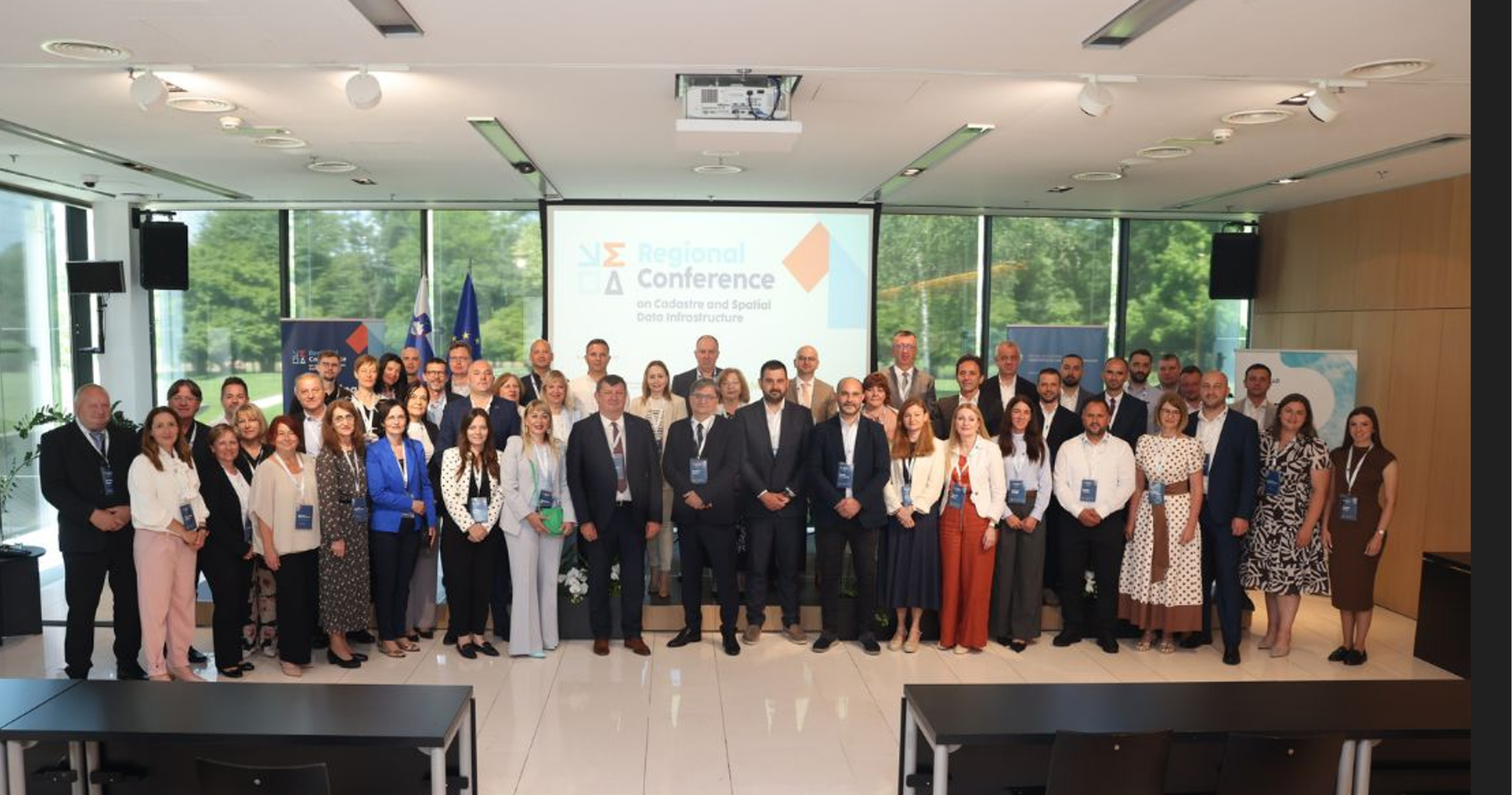
The 18th Regional Conference on Cadastre and Spatial Data Infrastructure (RCSLO 2026) was held from 7 to 8 June 2026 at the Brdo Congress Centre near Kranj, Republic of Slovenia, organized by the Surveying and Mapping Authority of the Republic of Slovenia (GURS).

The conference brought together directors and other representatives of geodetic and cadastral agencies from across the region. Representatives of the following institutions exchanged experiences and examples of good practice: the State Cadastre Agency of Albania (Tirana), the Agency for Real Estate Cadastre of the Republic of North Macedonia (Skopje), the Surveying and Mapping Authority of the Republic of Slovenia (Ljubljana), the Republic Administration for Geodetic and Property Affairs (Banja Luka),  Federal Administration for Geodetic and Property Affairs (Sarajevo), the Kosovo Cadastral Agency (Pristina), the Real Estate Administration of Montenegro (Podgorica), the Republic Geodetic Authority of the Republic of Serbia (Belgrade), and the State Geodetic Administration of the Republic of Croatia (Zagreb).

The central theme of this year’s conference was the Building Register—from its traditional role as a cartographic representation tool to the vision of a digital twin of real estate. Particular attention was given to how modern technologies, including 3D modelling and automated spatial data processing, can accelerate and enhance the development of building registers throughout the region. The basis for the professional discussion was a thematic survey distributed by GURS to all participating countries, the results of which were presented on the first day of the conference.

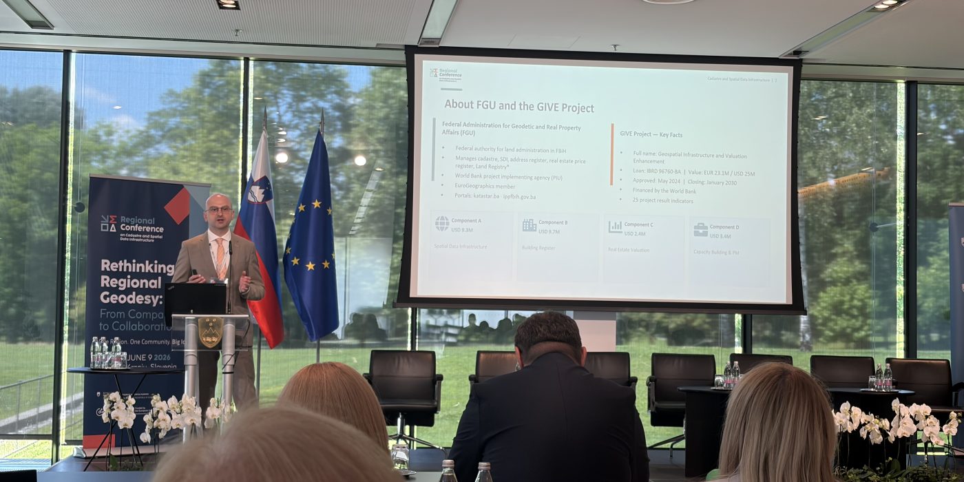
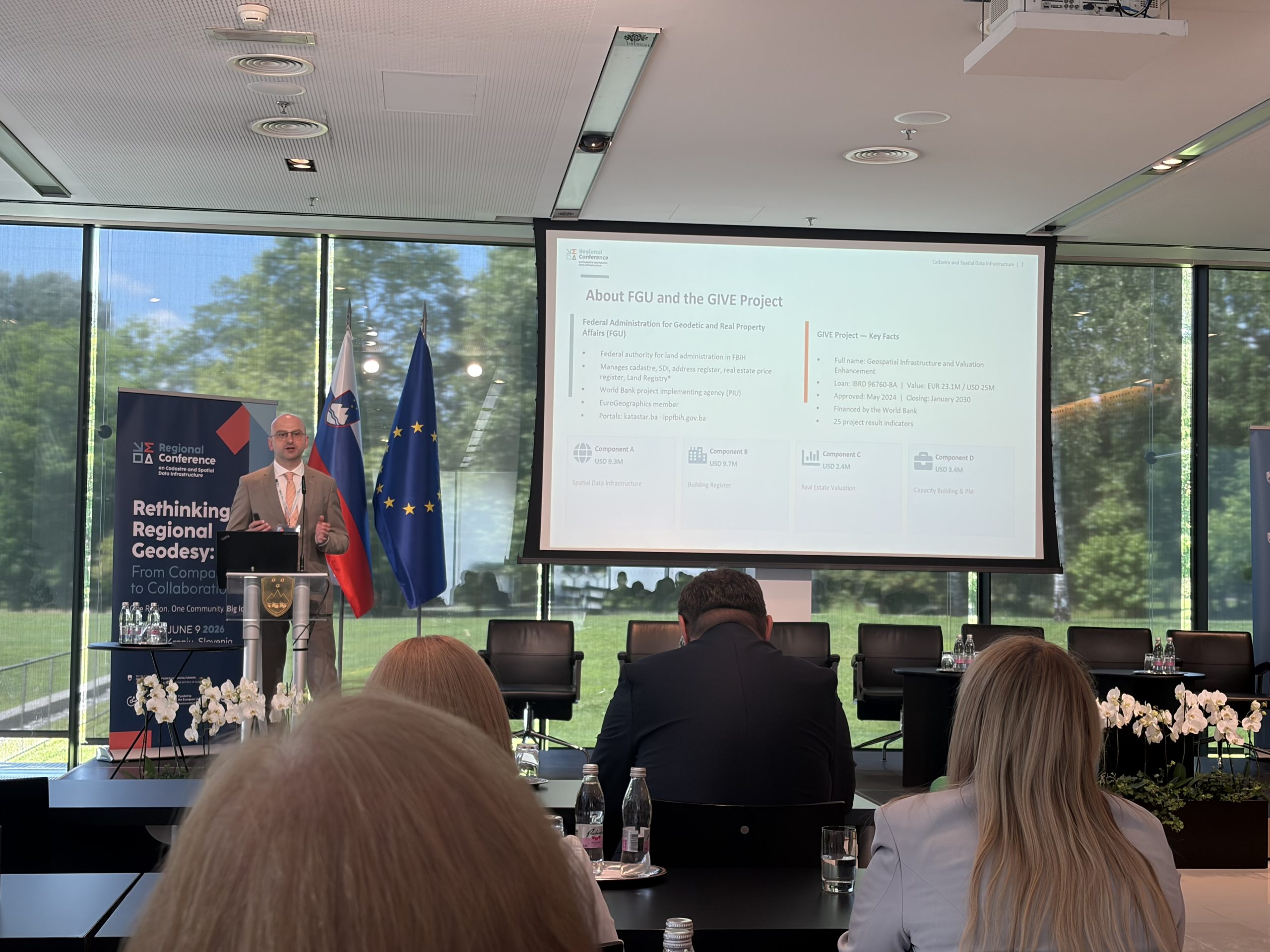
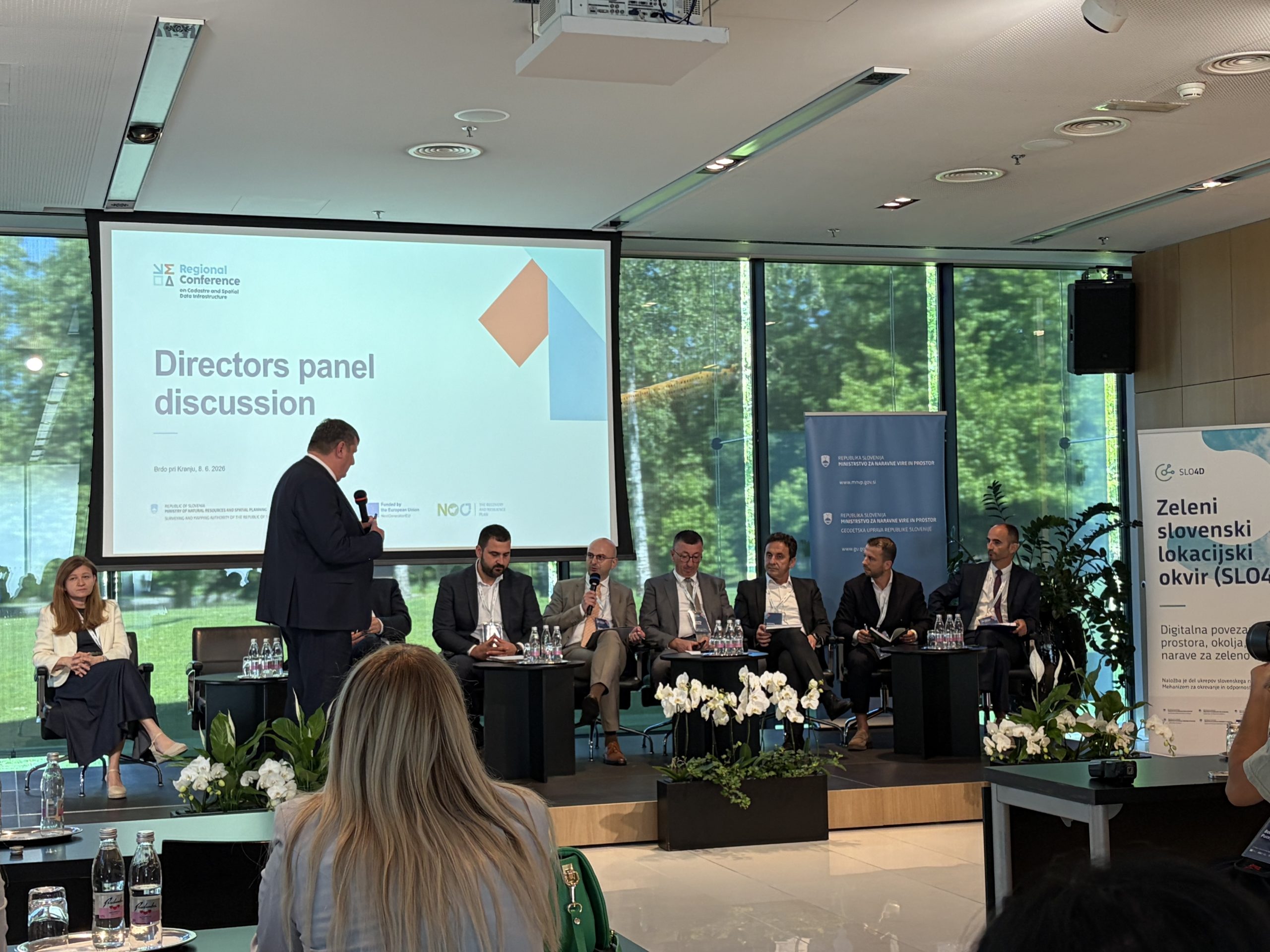
Representatives of the Federal Administration for Geodetic and Property Affairs actively participated in the conference by delivering a presentation on the progress and future plans within the GIVE Project (Geospatial Infrastructure and Valuation Enhancement, IBRD Loan No. 96760-BA), with a particular focus on the planned Real Estate Price Register (REPR) and the Spatial Data Infrastructure of the Federation of Bosnia and Herzegovina (SDI FBiH). In addition to the presentation, representatives of the Administration also took part in a panel discussion dedicated to the future of geodetic authorities in the era of emerging technologies and spatial monitoring in the age of artificial intelligence.

The conference confirmed that regional cooperation in the field of cadastre and spatial data remains strong and active, with a high level of shared interest in the development of integrated real estate registers based on 3D object models. The conclusions of the conference will serve as guidelines for the further implementation of activities within the GIVE Project, particularly those related to the establishment of a modern Building Register and the development of a comprehensive Spatial Data Infrastructure for the Federation of Bosnia and Herzegovina.
The next, 19th Regional Conference on Cadastre and Spatial Data Infrastructure is planned to be held in North Macedonia.

Federal Administration for Geodetic and Real Property Affairs

Working hours: 08:00 - 16:00
Contact phone: 033/712-616
E-mail: ipp.fbih@fgu.com.ba

Hamdije Kreševljaković br.96

Sarajevo 71000

©FGU 2024, ALL RIGHTS RESERVED.