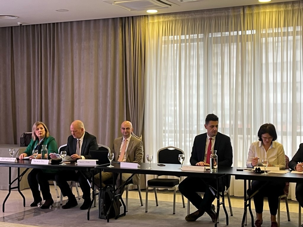
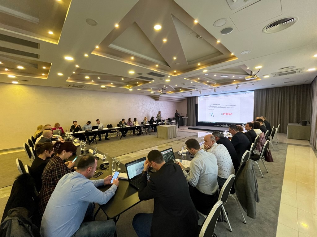
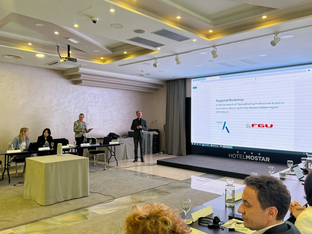
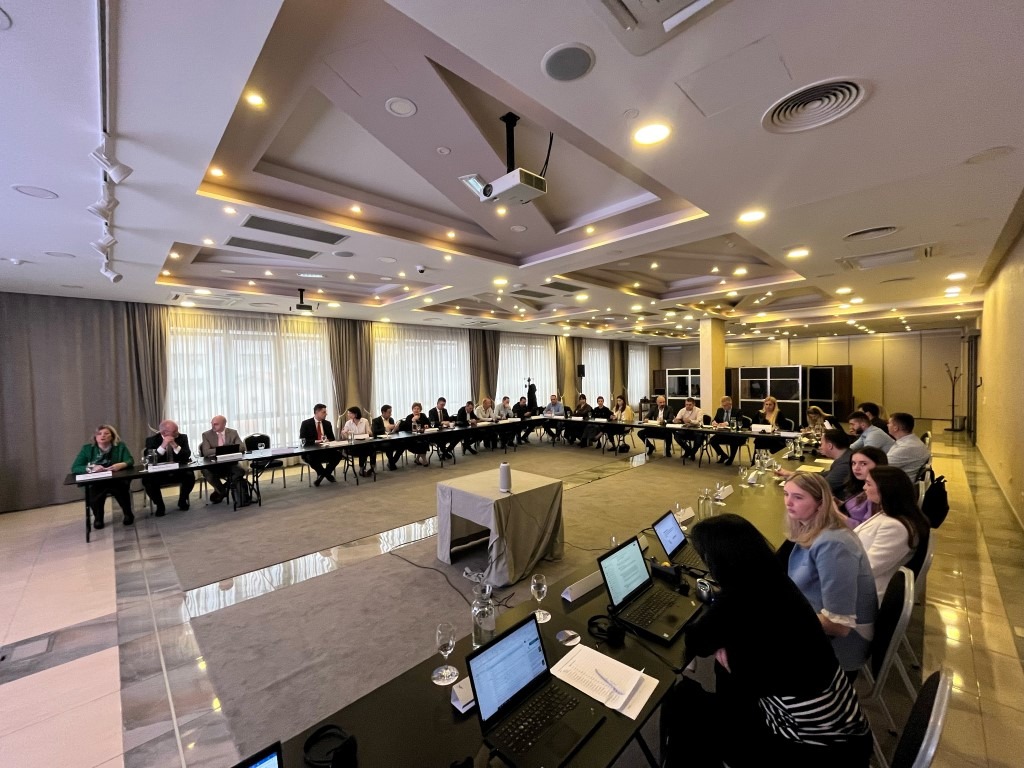
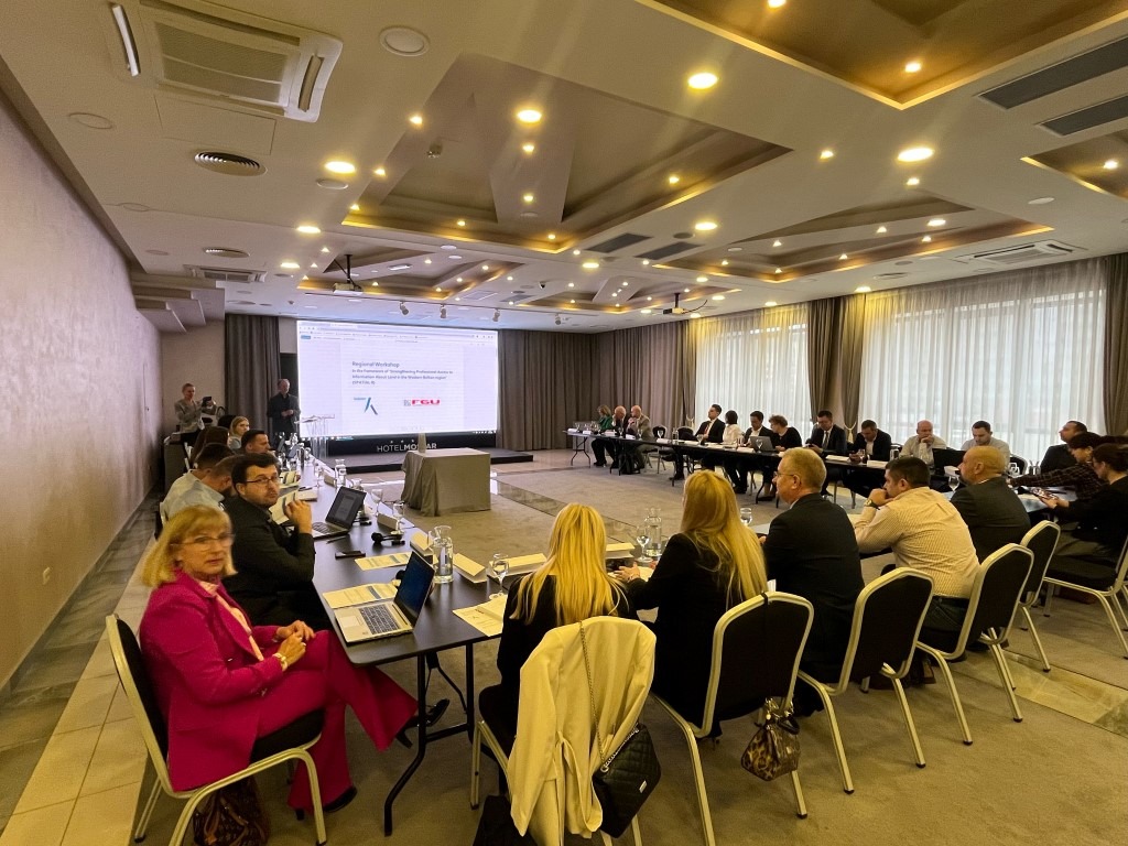
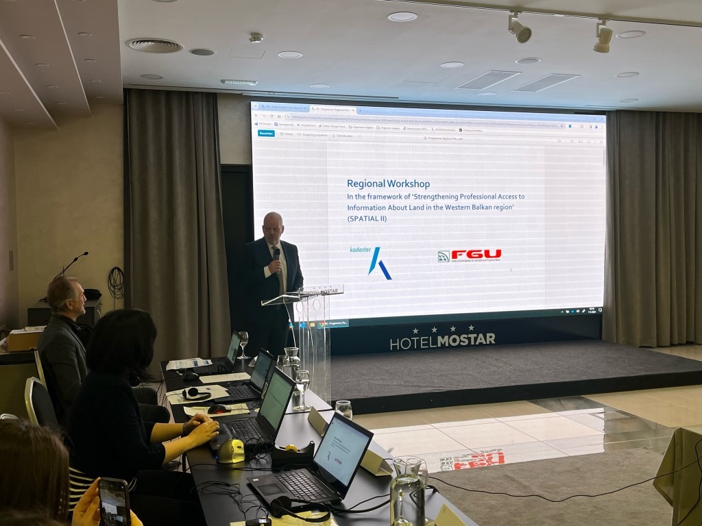
Within the organization of the Federal Administration for Geodetic and Real Property Affairs and the Agency for Land Administration and Cartography of the Netherlands (Kadaster) during the period from 6-8, March 2024, a regional workshop was held in Mostar as part of the SPATIAL II project with the aim of strengthening professional access to information about land in the Western Balkan region. Representatives of all cadastral and geodetic administrations/agencies of the Western Balkans participated in the workshop.
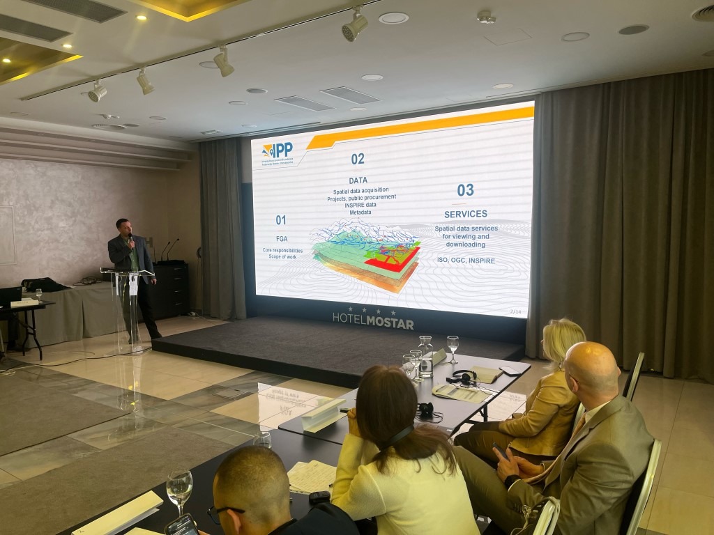
The theme of this year’s workshop is “Data acquisition and data sharing strategies” and included presentations on the potential of remote sensing and aerial imagery for various applications such as mapping and object detection for building data collection. Various techniques (Artificial Intelligence, cloud points, 3D visualizations) are exemplified for different applications. Strategies for sharing geodata, e.g. standards, cloud-based solutions, cyber security, services and similar were also discussed.
The purpose of the workshop is to share the experiences between the agencies, since many of them face the same or similar challenges when creating spatial data, and precisely these challenges and their solutions are key elements for successful spatial data management.