THE FORTY-NINTH SESSION OF THE SDI FBiH COUNCIL HELD

THE FORTY-NINTH SESSION OF THE SDI FBiH COUNCIL HELD

On December 22, 2025 the forty-ninth session of the Spatial Data Infrastructure (SDI) Council of the Federation of Bosnia and Herzegovina was held.

During the session, the Council discussed the following agenda items:

  1. Adoption of the agenda for the 49th session of the SDI FBiH Council;
  2. Approval of the minutes from the 48th session of the SDI FBiH Council;
  3. Information on the implementation of the Work Plan for the establishment, maintenance and development of SDI FBiH for 2025;
  4. Information on support activities for stakeholders related to data entry into SDI FBiH applications;
  5. Information on the preparation of a by-law – Implementing Rules for SDI FBiH network services (draft);
  6. Information on the preparation of general conditions for licensing spatial data in the Federation of BiH;
  7. Information on CEN/ISO standards and the Decision on the adoption of standards;
  8. Information on the initiative to include representatives of the SDI FBiH coordination body in the Technical Committee BAS/TC 1 (Information Technology) of the Institute for Standardization of Bosnia and Herzegovina (ISBiH);
  9. Information on the “European Data Union Strategy” – its relevance for SDI FBiH and its connection with INSPIRE and other EU regulations;
  10. Other.

Through discussion of the agenda items, the importance of the continuous development of SDI FBiH was emphasized, with particular focus on improving network services, applying international standards and strengthening coordination with institutions and SDI stakeholders, in order to ensure further alignment with European initiatives and regulations.

Capacity Building of SDI Stakeholders in the Federation of Bosnia and Herzegovina in 2025

Capacity Building of SDI Stakeholders in the Federation of Bosnia and Herzegovina in 2025

Following the expressed interest of SDI stakeholders, the Federal Administration for Geodetic and Property Legal Affairs continued its capacity-building activities in the field of Spatial Data Infrastructure of the Federation of Bosnia and Herzegovina (FBiH SDI) during November. The Federal Administration secured and implemented, with budgetary funds, the Basic and Advanced training programs. The trainings were delivered by Gauss d.o.o. Tuzla, a company with extensive experience in capacity building in the field of SDI and spatial data in general. The main objective of the trainings was to enhance competencies in spatial data management, including data preparation, visualization and sharing, as well as to provide fundamental knowledge on spatial data infrastructure.

The first phase of the Framework Agreement was implemented during Year 2025 and lasted until 11 December 2025. During this period, a total of 20 one-day training sessions were organized in the field of spatial data infrastructure.

The trainings covered Basic and Advanced training, SDI/INSPIRE training, Advanced Database Management, and Advanced Dissemination of Spatial Data. The sessions were held between 20 October and 11 December 2025.

A total of 35 institutions from the federal, cantonal and state levels participated in the trainings, including ministries, administrations, institutes, public companies and agencies. Particularly significant was the participation of institutions responsible for managing spatial data in the fields of geodesy, spatial planning, environmental protection, forestry, water management, transport, statistics, health, and cultural and historical heritage.

Study Visit to the Surveying and Mapping Authority of the Republic of Slovenia within the DELEF Project

Study Visit to the Surveying and Mapping Authority of the Republic of Slovenia within the DELEF Project

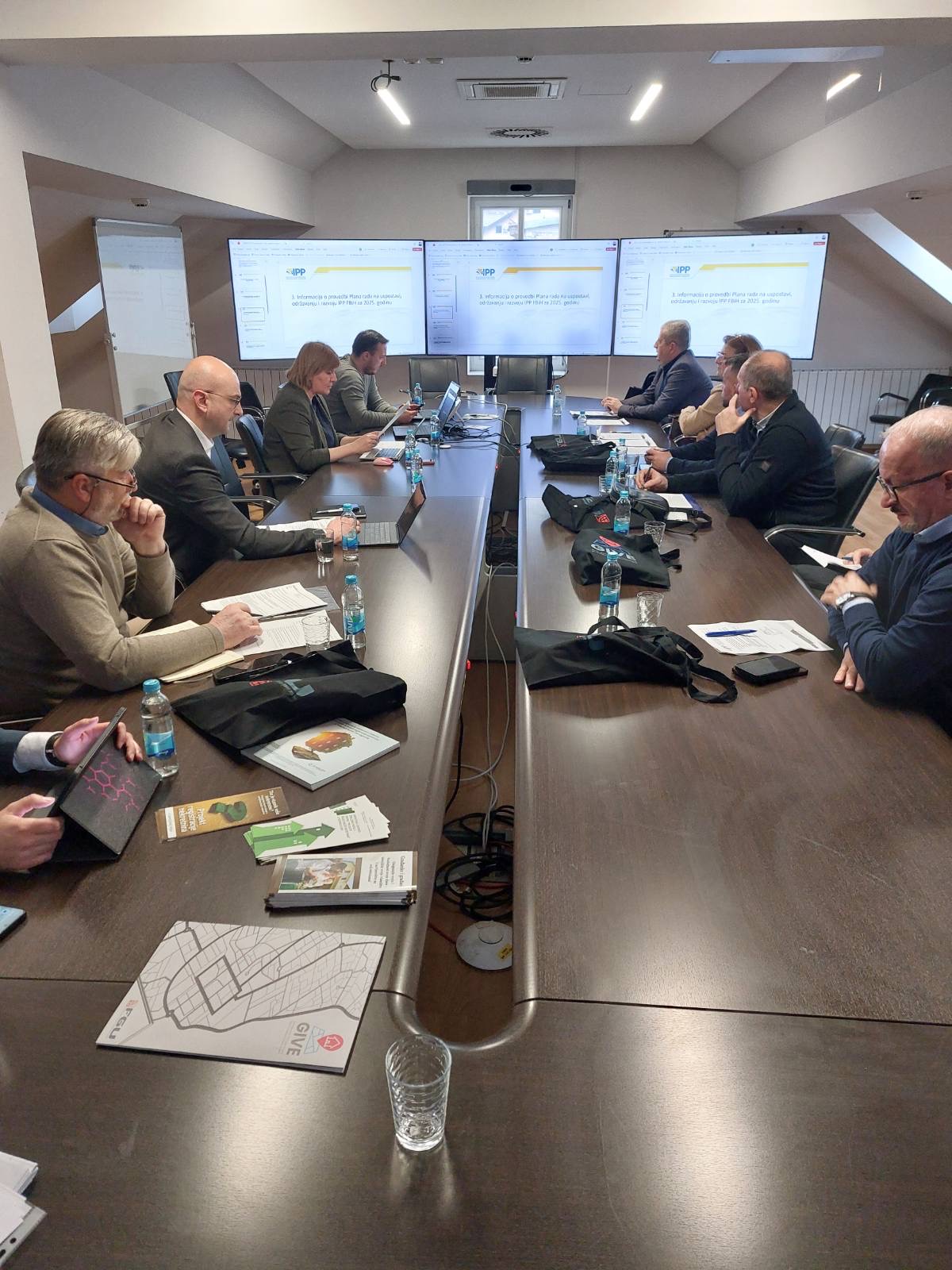
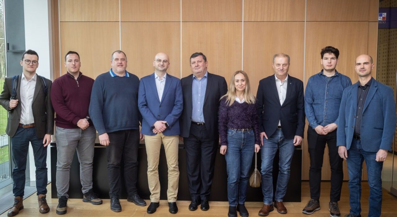
A delegation of the Federal Administration for Geodetic and Real Property Affairs (Working Group for SDI within the DELEF project) visited the Republic of Slovenia from December 2-4, 2025 as part of the implementation of the DELEF project. The host of the study visit was the Surveying and Mapping Authority of the Republic of Slovenia, with participation from partner institutions as well as representatives from academia and the private sector. The programme included attendance at the SLO4D conference, working meetings at the Surveying and Mapping Authority headquarters in Ljubljana, visits to various geodetic companies, and a working session at the Faculty of Electrical Engineering and Computer Science (FERI) of the University of Maribor.

On the first day of the visit, the FGA delegation participated in the SLO4D conference held in Brdo pri Kranju. Within the conference programme were presented the concept and experiences of the SLO4D project, the use of satellite imagery (PlanetScope), and the application of 3D building models in different sectors. Particularly valuable was a brief discussion with the Director General of Surveying and Mapping Authority of the Republic of Slovenia, during which experiences were exchanged on reforms in cadastral and cartographic infrastructure and the role of digital transformation in modernization of land administration.

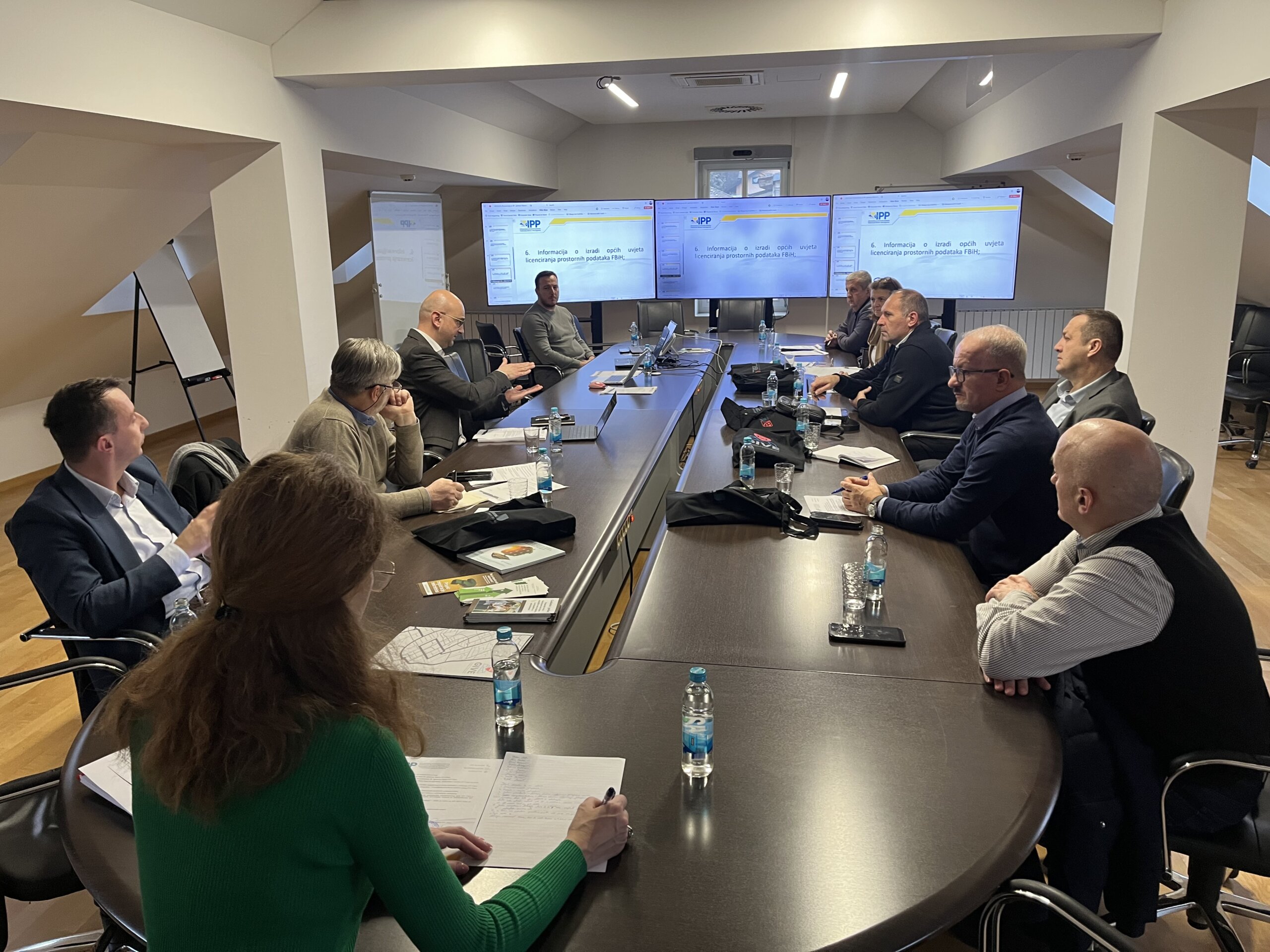
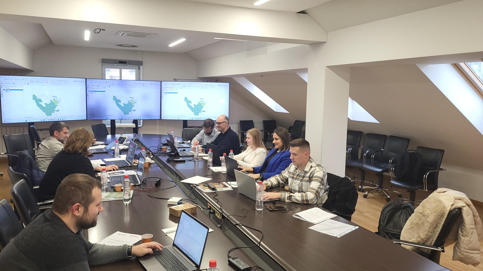
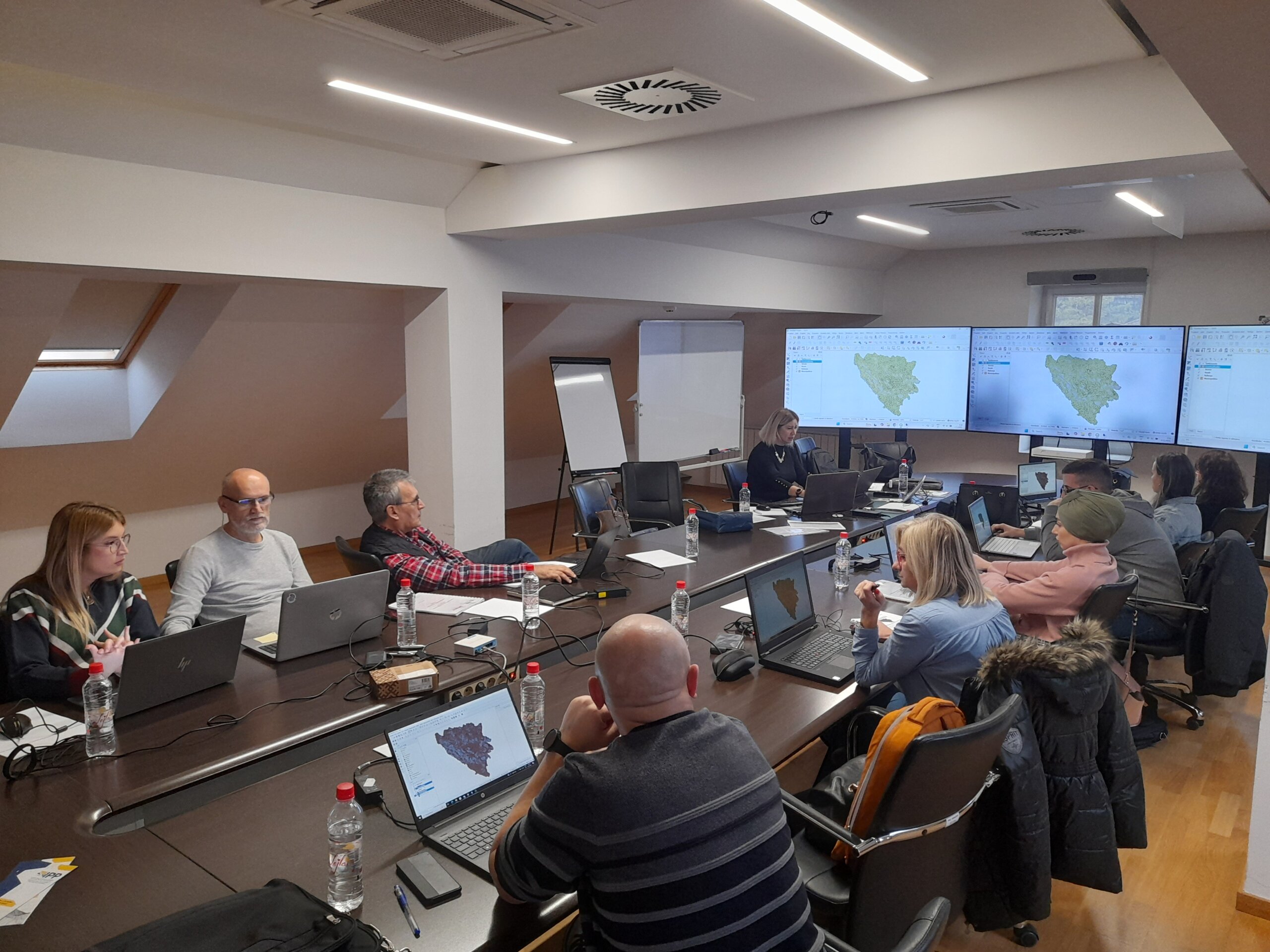
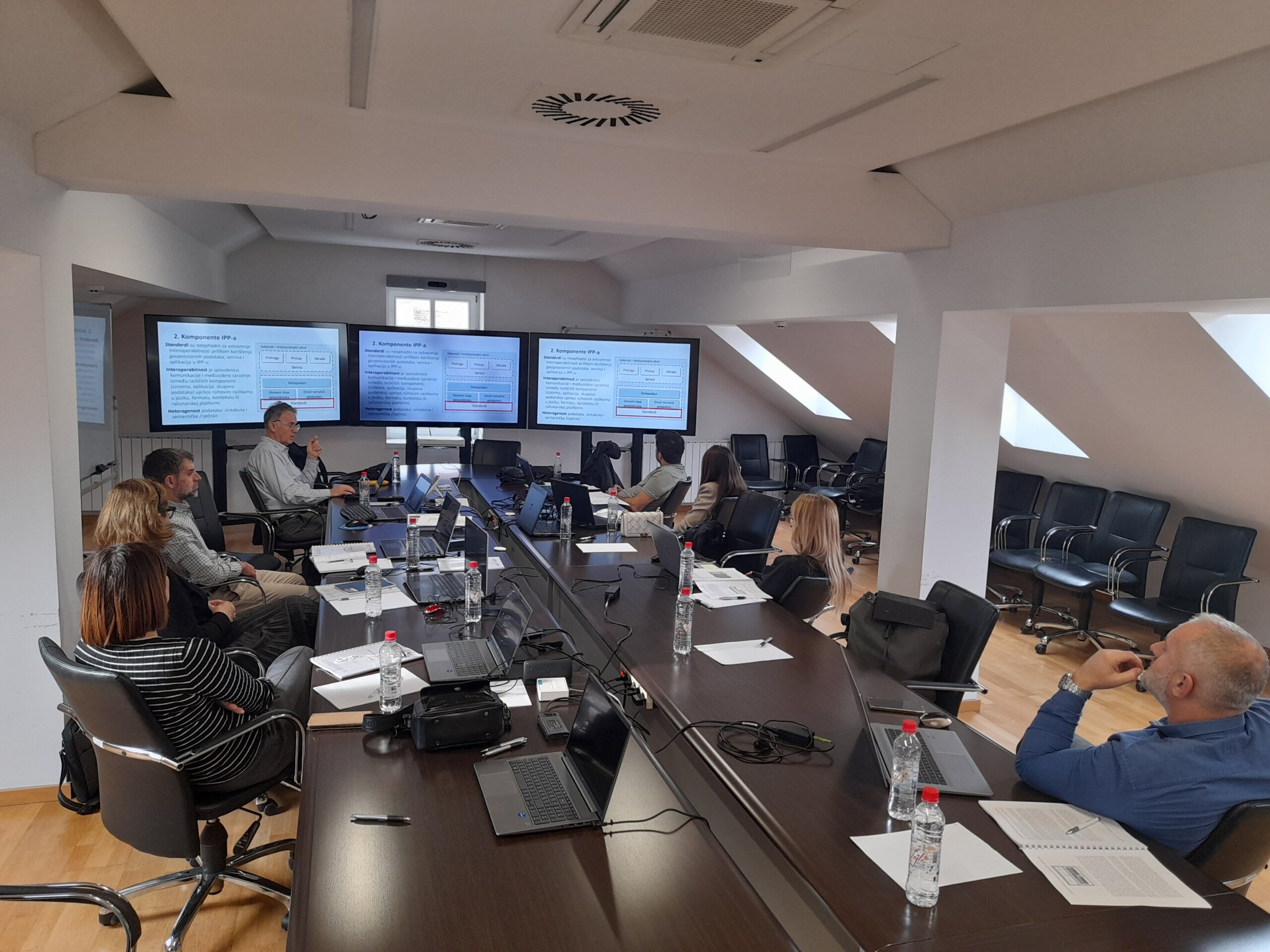
On the second day, at the Surveying and Mapping Authority of the Republic of Slovenia headquarters in Ljubljana, an introductory session was held focusing on horizontal integration and the common building blocks of the SLO4D system, as well as the national geoportal platform Geo Slovenia. The Authority’s team, led by spatial data experts, presented the system architecture, the establishment of common components, and data and service management models at the national level. The programme also included a presentation by Flycom dedicated to LiDAR surveying and 3D building modelling, with emphasis on data quality, applications in spatial planning and environmental protection, and integration with other official datasets.

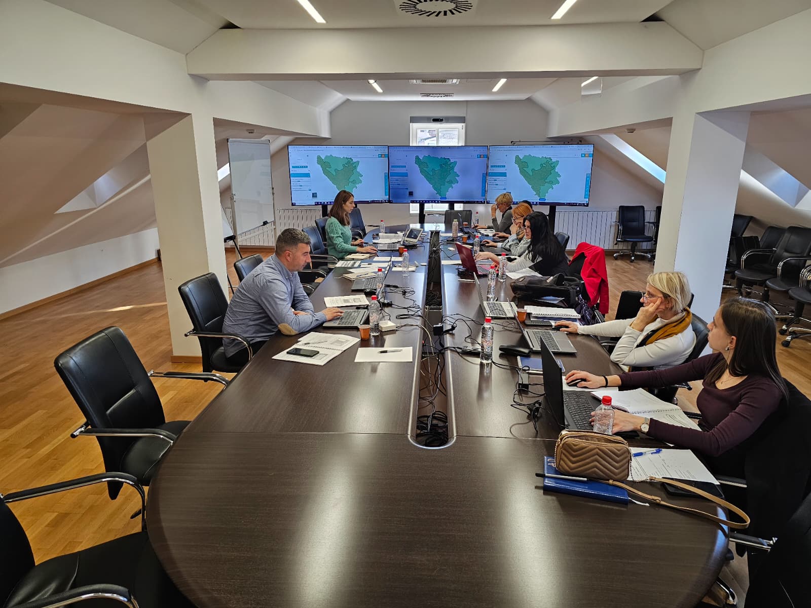
Later that day, the FGA delegation held a working meeting with the company IGEA, focused on geoportal infrastructure and software architecture. Topics discussed included system design, security and authentication, monitoring and supervision, as well as the implementation of vector tiles and 3D visualization. Special attention was given to web services and data sharing (OGC/OGC API), INSPIRE workflows, ETL harmonization and publishing processes, and performance optimization. The exchange of experiences on these topics is of particular importance for the further development of the SDI Geoportal of the Federation of Bosnia and Herzegovina and for establishing modern spatial data services.

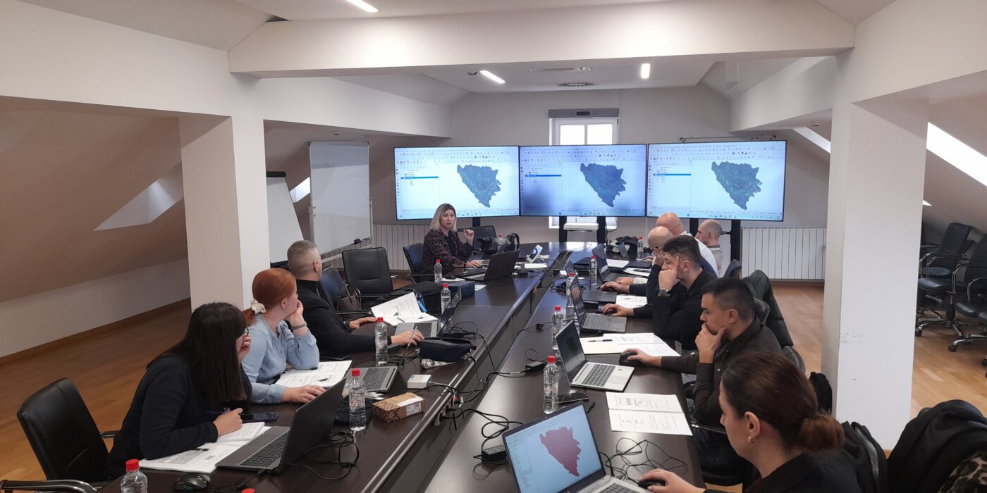
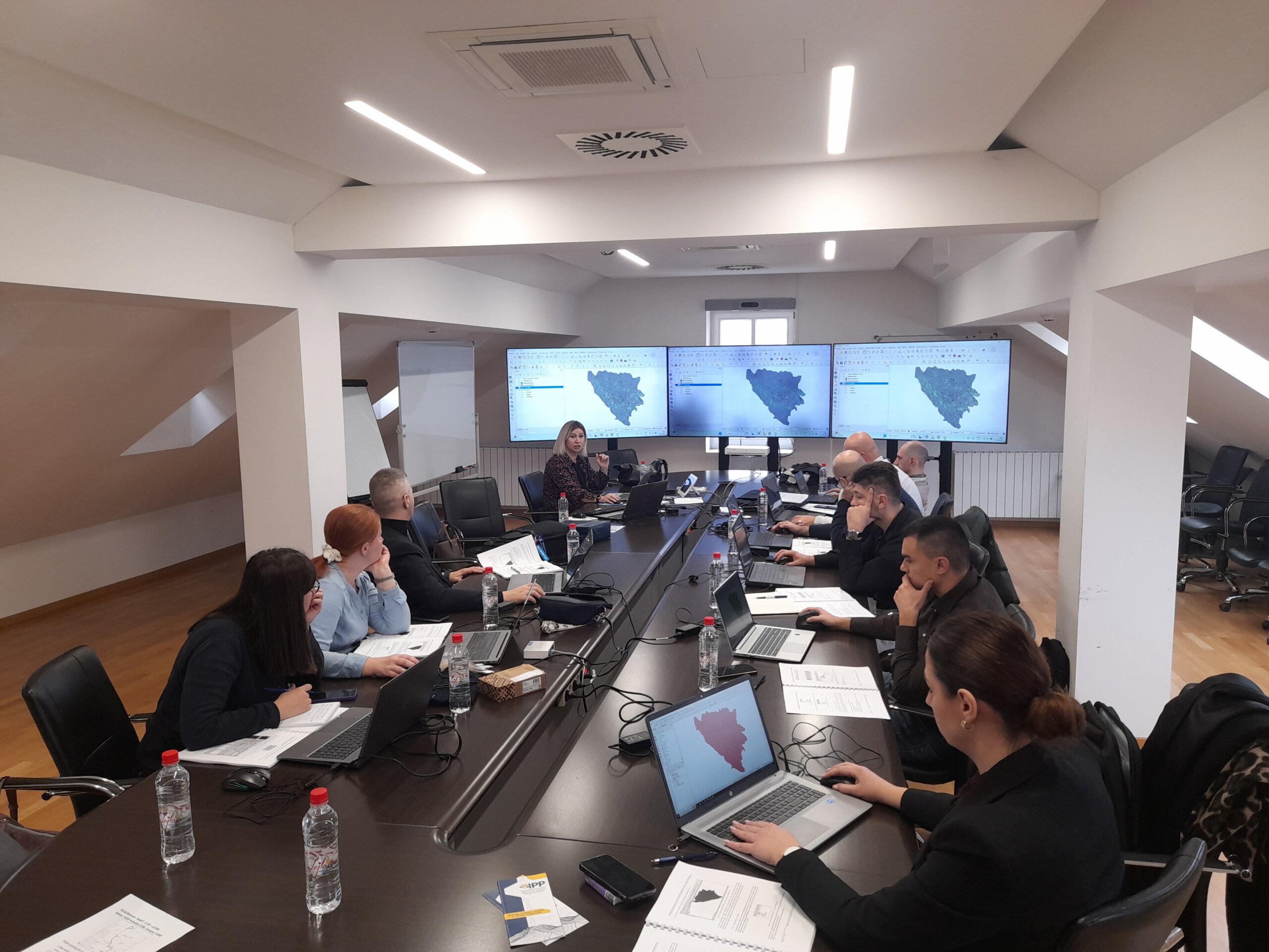
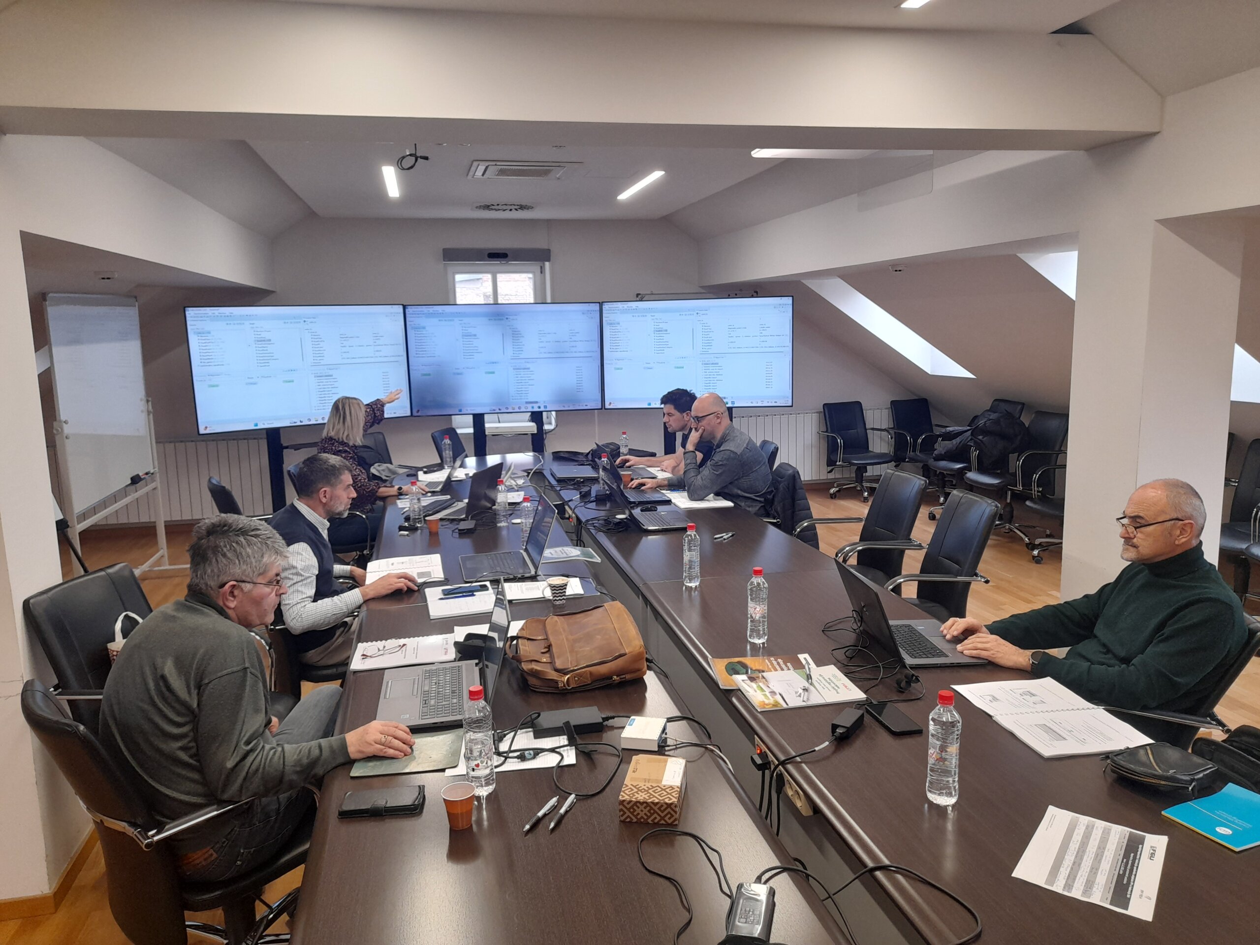
On the third day of the visit, the delegation visited the Faculty of Electrical Engineering and Computer Science (FERI) at the University of Maribor. FERI experts presented advanced concepts for managing and serving large spatial datasets- point clouds (LAZ/E57), ortho photos, digital terrain and surface models (DTM/DSM), as well as 3D objects and city models. They also introduced approaches to data processing, visualization and access patterns, as well as the Gemma Fusion solution and the new supercomputing infrastructure.

The study visit to Surveying and Mapping Authority of the Republic of Slovenia provided the FGA delegation with valuable insight into practical solutions and best practices in the field of spatial data infrastructure, 3D data management, and modern geoportal services. The knowledge will serve as an important contribution to the continued implementation of the DELEF and GIVE projects, the improvement of the SDI of the Federation of Bosnia and Herzegovina, and the development of new digital services for citizens, institutions and the private sector.

Federal Administration for Geodetic and Real Property Affairs

Working hours: 08:00 - 16:00
Contact phone: 033/712-616
E-mail: ipp.fbih@fgu.com.ba

Hamdije Kreševljaković br.96

Sarajevo 71000

©FGU 2024, ALL RIGHTS RESERVED.