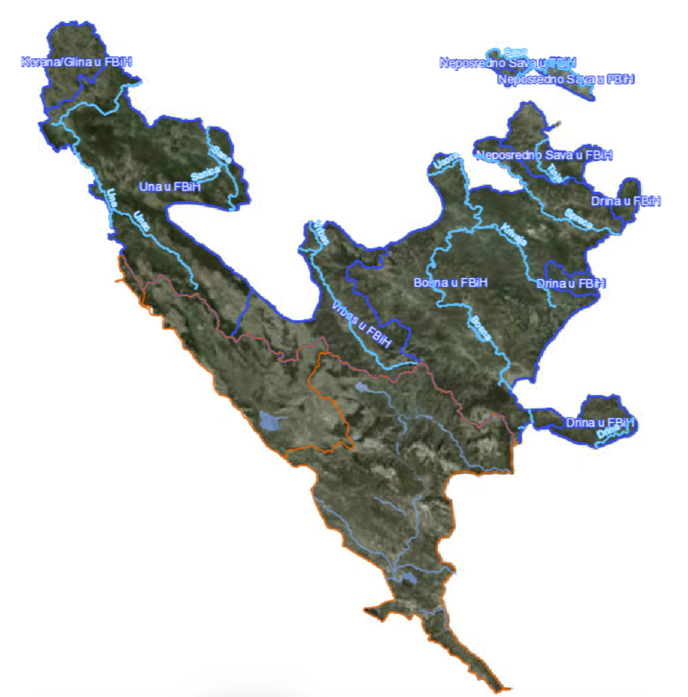
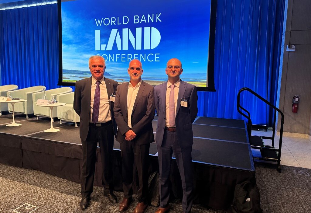
The Federal Administration for Geodetic and Real Property Affairs participated in the “Global Land Governance and Policy Forum” organized by the World Bank, in Washington, D.C. in period of May 13-17, 2024. The Conference, after a two-year break, brought together participants from governments, development partners, civil society, academia, and the private sector to discuss issues regarding land and climate changes.
For over two decades, the World Bank Land Conference catalyzed the global land community which deals with land issues, providing a platform to present research, discuss challenges and good practices, and inform policy dialogue. The Conference encourages cross-sectoral knowledge exchange and has incubated numerous investments, initiatives, and research projects led by diverse stakeholders, including the Voluntary Guidelines, the Sustainable Development Goal on Secure Land Tenure, the Land Governance Assessment Framework, and the Stand for Her Land Campaign.
The theme of the 2024 Conference is “Securing Land Tenure and Access for Climate Action.” The 2024 Conference therefore aims to highlight effective strategies for securing land tenure and access in support of climate change mitigation and adaption. Participants discussed more effective strategies for securing land rights and access to land, as well as the challenges facing developing countries.
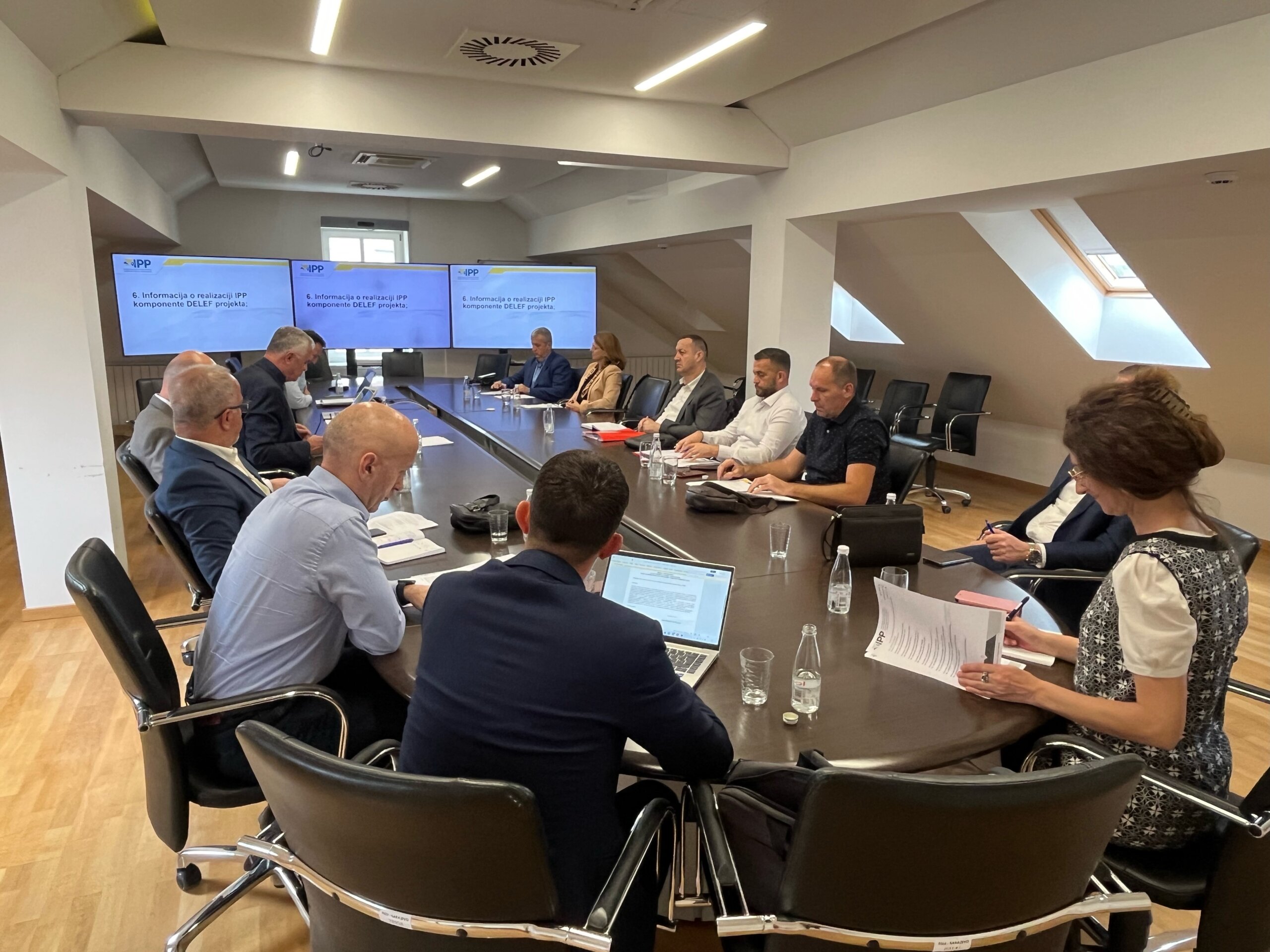
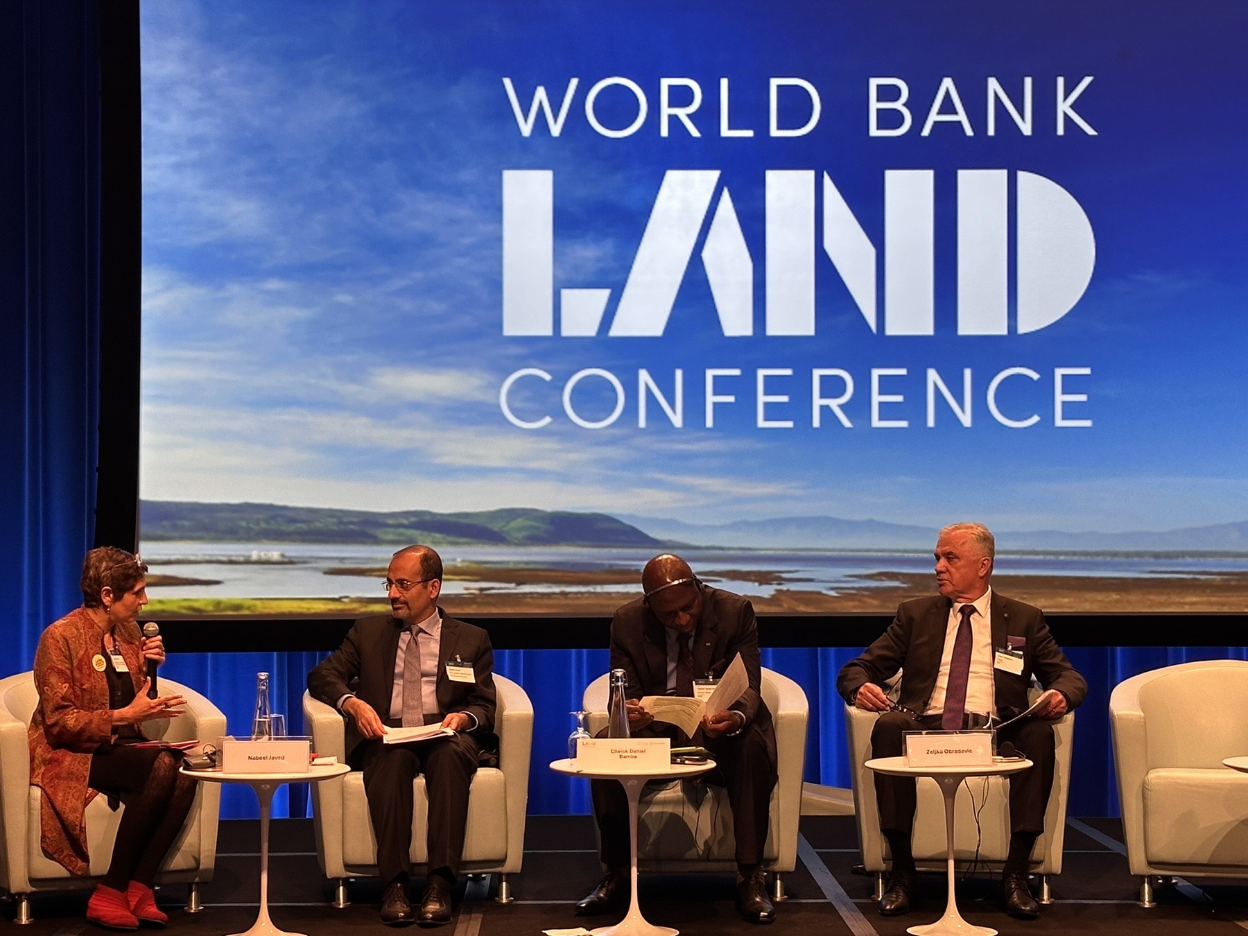
On the first day of the conference, the forum “Global Land Agenda: Global Land Governance and Policy” was held, which was attended by the Director of the Federal Geodetic Administration, Mr. Željko Obradović. Director Obradović participated in the closing arguments of the session, by giving speech and look back at the panel discussions by lecturers during the forum. In his speech, Director Obradović shared experiences in land management of Bosnia and Herzegovina, emphasized the importance of cooperation between the government, civil society and the private sector in solving land issues, and gave an overview of the global challenges in the land administration sector.
Participation in the World Bank Land Conference was an opportunity to exchange experiences and best practices with other countries, as well as to establish new contacts and partnerships. The Federal Administration for Geodetic and Real Property Affairs, of course, remains dedicated to further work on reforms of the land administration sector in the Federation of BiH for all citizens.
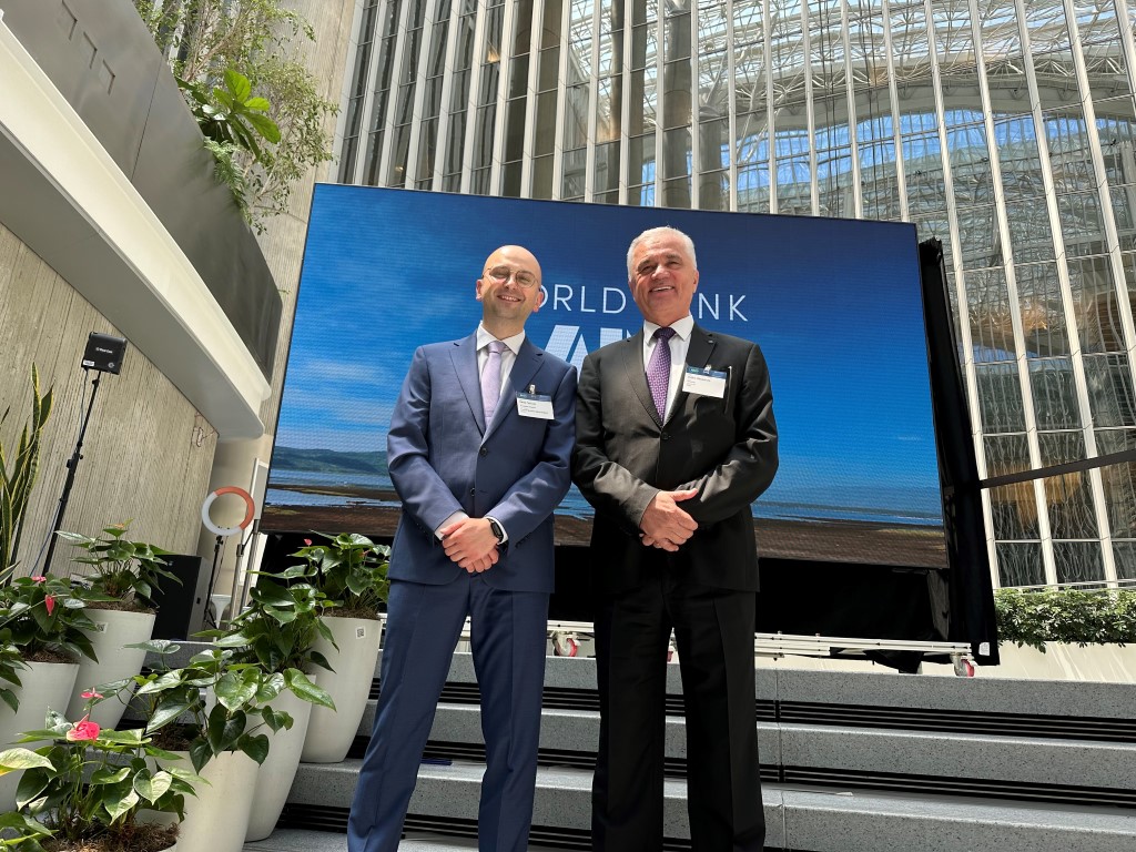
The representatives of the Federal Geodetic Administration at the conference were the Director, Mr. Željko Obradović, and Assistant Director, Mr. Denis Tabučić.