The 16th Regional Conference on Cadastre and Spatial Data Infrastructure

The 16th Regional Conference on Cadastre and Spatial Data Infrastructure

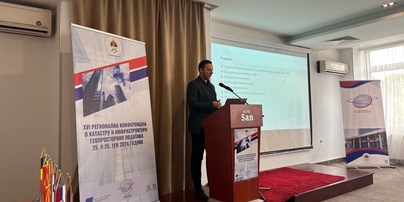
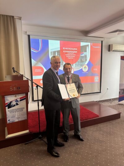
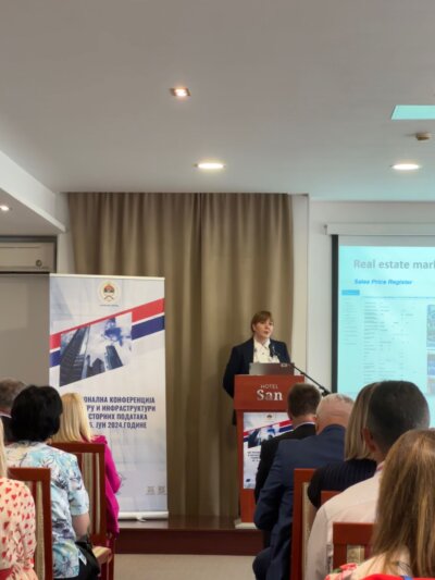
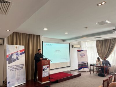
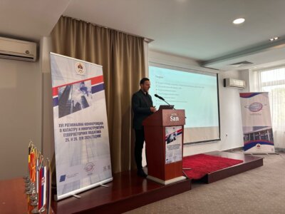
The 16th Regional Conference on Cadastre and Spatial Data Infrastructure 2024 was held in Bosnia and Herzegovina, Laktaši from June 24 to June 26, in the organization of the Republic Authority for Geodetic and Real Property Affairs of the Republic of Srpska.

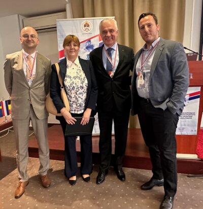
The Conference gathered a large number of managers and representatives of the cadastral agencies of the Western Balkan region, as well as representatives of the World Bank, the Swedish Mapping, Cadastral and Land Registration Authority- Lantmäteriet, The Netherlands’ Cadastre, Land Registry and Mapping Agency- Kadaster, Eurogeographics and others.

The topics of this year’s conference focused on the following areas:

  1. Cadastre and geodetic infrastructure
  2. Spatial Data Infrastructure
  3. Mass valuation

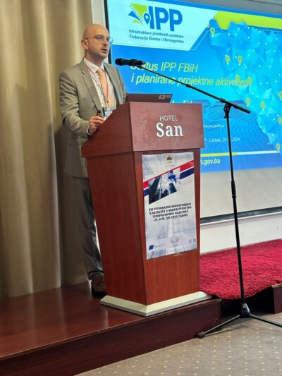
The Federal Administration for Geodetic and Real Property Affairs actively participated in the work for all the mentioned areas, and Mrs. Jelena Zelić, Mr. Jasmin Ćatić and Mr. Denis Tabučić, during the conference session, were held lectures on the general status of activities and progress during 2024.

At this year’s conference, attention was paid to the implementation of the Memorandum of Understanding and Cooperation in the field of Cadastre, Topographic Surveying and Cartography, Geodetic Networks and Spatial Data Infrastructure signed in 2019, and the directors of cadastral and cartographic institutions held discussions related to the possibilities of organizing a regional project for capacity building of the institutions.

At the end, appropriate conclusions were adopted and the next Regional Conference will be held in Montenegro.

On behalf of the FGA at the Conference attended director Mr. Željko Obradović with the assistant and officials mentioned above.

Workshop on the topic “SDI Registers and Data Entry” held

Workshop on the topic “SDI Registers and Data Entry” held

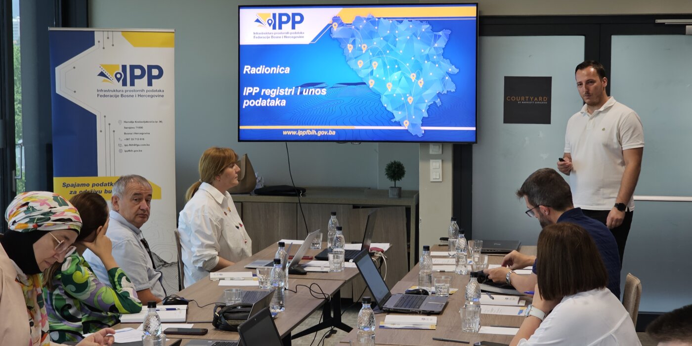
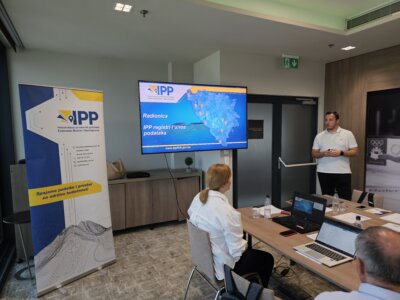
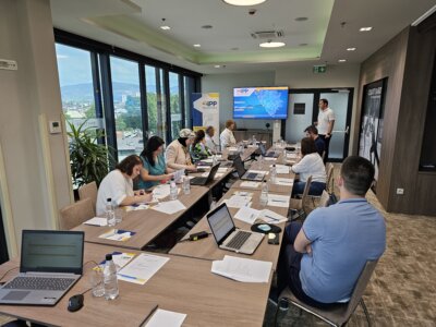
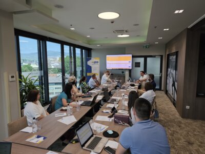
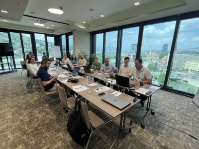
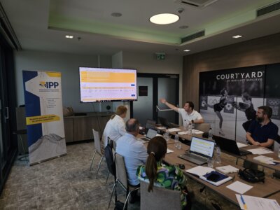
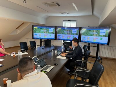
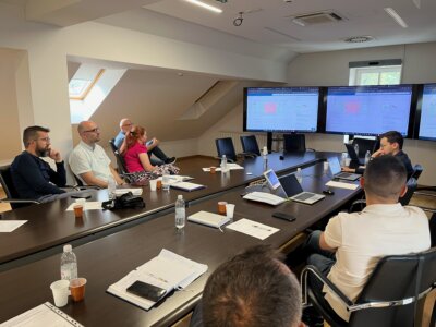
On June 24, 2024, a workshop on the topic ” SDI Registers and Data Entry” was held in Sarajevo. Ten representatives from the following institutions attended the workshop:

  • Federal Hydrometeorological Institute
  • Federal Ministry of Education and Science
  • Federal Ministry of Trade
  • Cantonal Institute for Urbanism, Spatial Planning and Protection of the Cultural and Historical Heritage of the Central Bosnia Canton
  • Ministry of Spatial Planning, Construction, and Environmental Protection of the West Herzegovina Canton
  • Administration for Geodetic and Real Property Affairs of the Central Bosnia Canton
  • Anticorruption and Quality Control Office of the Sarajevo Canton

During the workshop, participants were introduced to the Organizational Model of the Spatial Data Infrastructure of the Federation of Bosnia and Herzegovina (SDI FBiH) and the SDI FBiH Registers. The application solution for the SDI Registers and the method for entering data into the SDI Registers were presented. Following the introduction, participants, with the help of the organizers, entered basic information about the institutions accessing SDI FBiH as SDI FBiH stakeholders.

At the end of the workshop, participants were also given a brief introduction to the concept of the Metadata Catalogue and the entry of information on spatial data sources into the Spatial Data Source Register of SDI FBiH as well as the Metadata Catalogue.

The inclusion of the aforementioned institutions in SDI FBiH represents an important step towards enhancing the metadata database and ensures that stakeholders included in SDI FBiH are equipped with the knowledge and tools necessary for consistent management and updating of spatial data and metadata.

The Federal Administration for Geodetic and Real Property Affairs remains committed to providing support to all SDI FBiH stakeholders and continuously improving the quality and availability of spatial data.

Workshop Held on the Topic: Entry and Update of Metadata

Workshop Held on the Topic: Entry and Update of Metadata

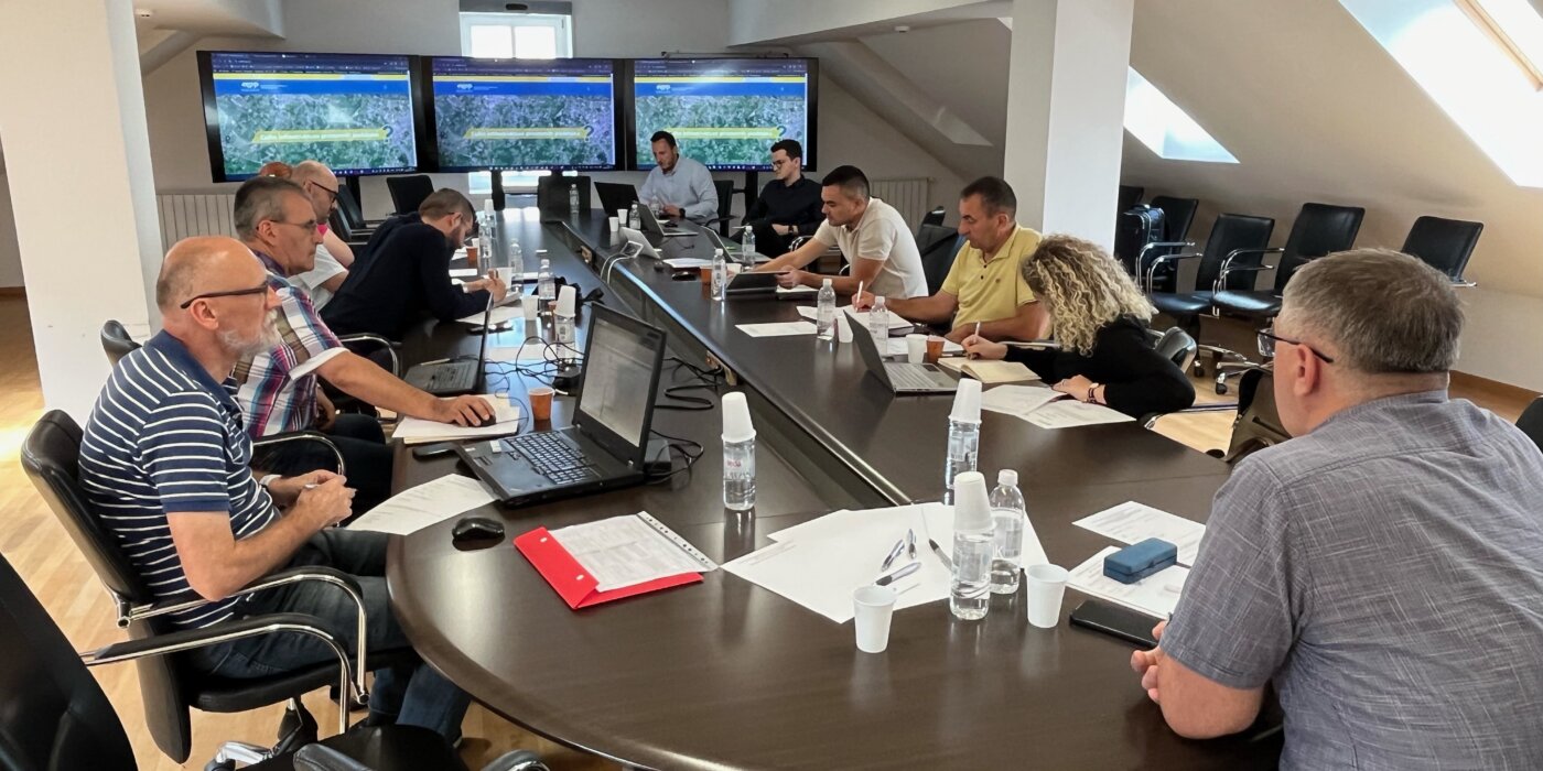
On June 12, 2024, a workshop on the topic “Entry and Update of Metadata” was held at the premises of the Federal Administration for Geodetic and Real Property Affairs. The workshop was attended by nine representatives of the stakeholders of the Spatial Data Infrastructure of the Federation of Bosnia and Herzegovina (SDI FBiH). Representatives attended on behalf of the following stakeholders:

  • Federal Hydrometeorological Institute
  • Federal Institute for Geology
  • Fund for Environmental Protection of the Federation of BiH
  • Agency for the Sava River Basin
  • Federal Ministry of Physical Planning
  • Roads of the Federation of Bosnia and Herzegovina, Sarajevo
  • Public Company Motorways of the Federation of Bosnia and Herzegovina Ltd. Mostar

During the workshop, participants were introduced to the new version of the Metadata Catalogue, the implementation rules for metadata, and the new SDI FBiH metadata profile. Additionally, a demonstration of data entry into the Metadata Catalogue was conducted, providing practical insight into the process crucial for maintaining the accuracy and up-to-date of spatial data.

This workshop represents a significant step towards improving the metadata database and ensures that all SDI FBiH stakeholders are adequately equipped with the knowledge and tools necessary for consistent management and updating of spatial data and metadata. Following the workshop, all necessary materials will be provided to the participants to facilitate the continued active entry of metadata for spatial data sources managed by the relevant institutions, all in accordance with the SDI FBiH Law.

In line with the Work Plan for 2024 in the field of SDI FBiH, other thematic workshops will be organized in the coming period, thereby continuing the ongoing education and enhancement of the spatial data, metadata, and network services management system.

The Federal Administration for Geodetic and Property Affairs remains committed to providing support to all SDI FBiH stakeholders and continuously improving the quality and accessibility of spatial data.

INITIATIVE “GREEN DATA FOR ALL” – Information on the intention to revise the EU INSPIRE Directive

INITIATIVE "GREEN DATA FOR ALL" - Information on the intention to revise the EU INSPIRE Directive

The European Data Strategy has announced the development of a Common European Data Space for the Green Deal, aiming to harness the vast potential of data in supporting the Green Deal’s priority actions related to climate change, circular economy, zero pollution ambition, biodiversity, deforestation, and ensuring compliance. 

This includes the launch of the ‘GreenData4All’ initiative, which consists of assessing and potentially revising the Directive establishing an infrastructure for spatial information in the EU (INSPIRE Directive 2007/2/EC), along with the Directive on access to environmental information (Directive 2003/4/EC). GreenData4All plans to update the rules on environmental spatial data present an opportunity for better governance and access to geospatial information within the European Union (EU). The aim of the initiative would be to modernize both directives to align them with contemporary technology; promote active dissemination and sharing of data held by governments and the private sector in support of environmental legislation and the goals of the European Green Deal; and define and implement interoperable building blocks for sharing public data in the Green Deal data space. 

In its work program for 2022, adopted on October 19, 2021, the European Commission announced that, as part of the European Green Deal, it would propose a revision of both directives, following their assessment in 2021. The legislative proposal, accompanied by an impact assessment, was originally expected in the fourth quarter of 2022. The European Commission issued a call for proposals/comments on February 26, 2024, which was open for feedback until March 25, 2024. 

The “Green Data for All” initiative (GreenDeal4All) will contribute to the European green and digital transformation by updating EU rules on geospatial environmental data and public access to environmental information. Its purposes are: 

  • Enable greater data exchange between the public and private sectors and with the public 
  • Enable all the benefits of data sharing for data-driven innovation and evidence-based decision-making. 

Compared to the INSPIRE Directive, the “Green Data for All” initiative aims to make the INSPIRE Directive an effective and cost-efficient instrument for sharing environmental data in support of environmental policy development and the transition to a more sustainable economy, requiring additional regulations of the INSPIRE Directive. 

This will be achieved by simplifying and modernizing technical provisions for data harmonization, web services – including extensive use of application programming interfaces (APIs) – and metadata, aligning data characteristics and rules on data sharing and reuse with relevant horizontal legislation, considering flexible solutions for setting data characteristics and standards for data sharing through flexible coordination mechanisms to make them future-proof and technologically neutral, but also at other levels such as covered data (distinguishing environmental data and other data, using other non-spatial environmental data through linking attributes to spatial data or as separate data sets) and organizational/managerial structure, among others. 

For this purpose, EuroGeographics, a nonprofit association for national mapping, cadastral, and land registry authorities in Europe (NMCAs), called on all to provide their comments and suggestions. One of the solutions considered in this Call is to redirect the scope of the INSPIRE Directive to environmental data, while non-environmental data (cadastral parcels and agricultural parcels, buildings, road networks, etc.) would be outside the scope – covered by other sectoral tools. Everyone welcomed the modernization of the INSPIRE Directive’s rules but warned that removing location data from its scope could lead to weak or no governance in the geospatial sector. It was added that the GreenData4All initiative should include a specific chapter on geospatial data and their role in the Green Deal data space, noting that the involvement of NMCAs is crucial to overcoming shortcomings in existing governance. 

You can find other opinions at the following link: 

https://ec.europa.eu/info/law/better-regulation/have-your-say/initiatives/13170-GreenData4All-updated-rules-on-geospatial-environmental-data-and-access-to-environmental-information/feedback_en?p_id=32551842 

The legislative proposal is now planned for the first quarter of 2025. 

Federal Administration for Geodetic and Real Property Affairs

Working hours: 08:00 - 16:00
Contact phone: 033/712-616
E-mail: ipp.fbih@fgu.com.ba

Hamdije Kreševljaković br.96

Sarajevo 71000

©FGU 2024, ALL RIGHTS RESERVED.